Tag: autonomous systems

  • Autonomous systems take on more tasks

    Autonomous systems take on more tasks

    Image: Renu Robotics
    Image: Renu Robotics

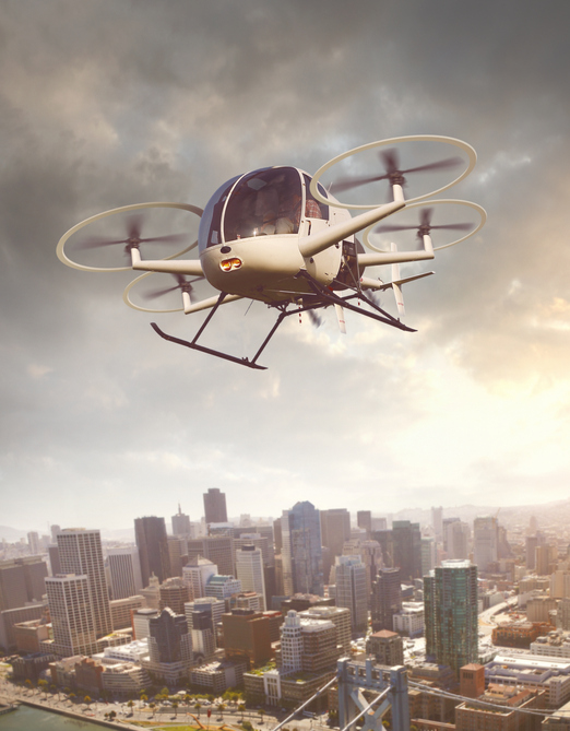
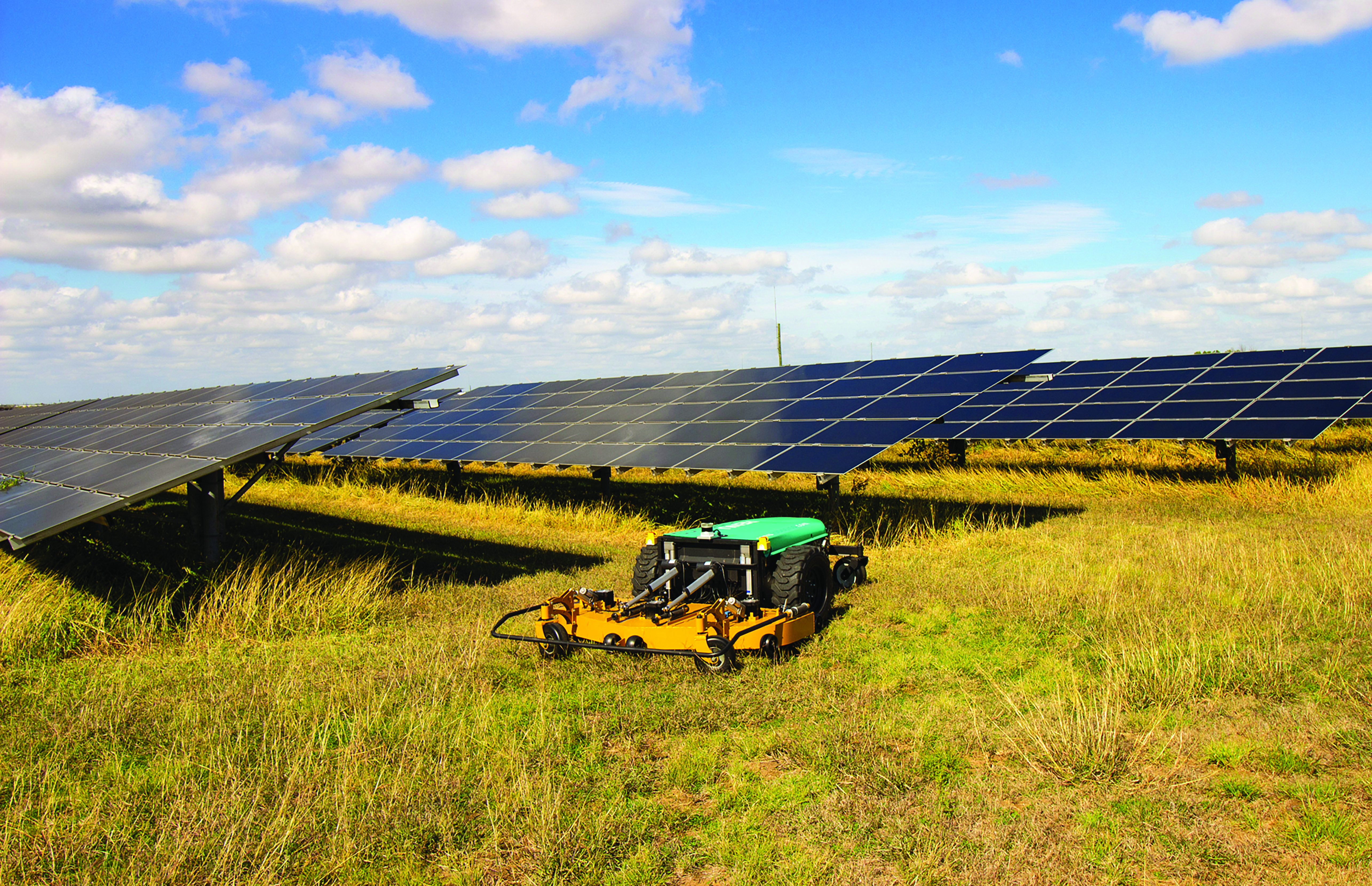
    While on public roads self-driving cars are still years away, autonomous systems are already common in much less congested and/or much more controlled environments — such as farm fields, ports, mines, rivers, and in the air — where the risk of a collision causing injuries or fatalities is smaller by orders of magnitude. From unmanned aerial vehicles (UAVs) taking aerial photographs, to unmanned ground vehicles (UGVs) spraying vineyards, to unmanned surface vessels (USV) conducting hydrographic surveys, autonomous or semi-autonomous systems are generally much safer, more efficient, and cheaper to operate than their manned counterparts.

    Whether they have wheels, hulls, or wings to properly perform their tasks, autonomous systems need to know — with great accuracy — their position, heading and attitude (roll, pitch, yaw, surge, sway, and heave). For example, to spray grapes in a vineyard, an autonomous system needs to know not only its exact position but also whether it is level or tilted to one side due to uneven terrain, lest it spray the ground or into the air instead of the grapes. Similarly, a survey vessel’s pitch, which depends on its speed through the water, and its roll, due to waves and wind, affect the direction of its sonar beams.

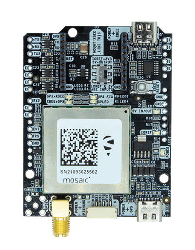
    Knowing a platform’s position, heading and attitude requires tight integration of the outputs of GNSS receivers and inertial navigation systems (INS). This enables autonomous systems to compensate for their movements — either physically and in real time, by orienting their sensors or tools, or in software when post-processing the data they collected.

    The following three case studies sample current developments in autonomous systems on land, in the air, and on the water.

    Matteo Luccio, Editor-in-Chief

    Learn more about the following case studies:

    ON LAND
    Hexagon | NovAtel: Talking on land with SMART antennas

    IN THE AIR
    Trimble Applanix: Unmanned aerial vehicles aid survey efforts

    ON THE WATER
    CHC Navigation: The boat boost

  • ION opens registration for IEEE/ION PLANS 2023

    ION opens registration for IEEE/ION PLANS 2023

    Photo: ION
    Photo: ION

    Registration is now open for the jointly sponsored Position Location and Navigation Symposium (PLANS) taking place April 24-27. PLANS is a biennial technical conference that occurs in the spring of odd-numbered years to provide an international forum to share the latest advances in navigation technology. The conference is sponsored by the IEEE’s Aerospace and Electronics Systems Society (AESS) and the Institute of Navigation (ION).

    The PLANS conference takes place over four days, with the first day for hosting tutorials and three days dedicated to technical sessions.

    The tutorials aim to provide attendees with the opportunity to learn about navigation technology from industry experts. A variety of tutorials are offered to serve the needs of both newcomers and those well versed in the field of navigation. This year’s tutorials will include a range of navigation subjects from core navigation fundamentals to in-depth classes about the latest technologies.

    Technical sessions are offered over a three-day period, with four sessions running simultaneously each morning and afternoon. At the technical sessions scientists, researchers, and engineers from around the world present their latest work in the field of PNT. Technical session topics will include inertial sensing and technology; GNSS; integrated, collaborative and opportunistic navigation; and applications to automated, semi-autonomous and fully-autonomous systems.

    To view the PLANS 2023 technical program and register for the event, visit ion.org/plans.

  • Septentrio partners with ArduSimple for emerging GPS/GNSS applications

    Septentrio partners with ArduSimple for emerging GPS/GNSS applications

    The mosaic-X5 and mosaic-H modules are being integrated into ArduSimple’s new evaluation kits, making resilient cm-level positioning easily accessible for testing and prototyping

    Photo: Septentrio
    Photo: Septentrio

    Septentrio’s compact GNSS module mosaic-X5 and heading module mosaic-H are being integrated into evaluation kits developed by ArduSimple.

    With these new kits, ArduSimple brings to market triple-band real-time kinematic (RTK) GPS/GNSS as a plug-and-play solution for the most popular development platforms such as Arduino, STM Nucleo, Raspberry Pi, Ardupilot and Nvidia Jetson.

    ArduSimple enables developers of robotics, UAVs and autonomous systems to easily try out mosaic, a unique module offering the latest high-performance GNSS positioning technology.

    “The mosaic module complements the ArduSimple RTK product portfolio with a higher-end solution for the most demanding applications,” said Marc Castillo, senior consultant at ArduSimple. “Triple-band GNSS brings extra reliability to the RTK solution and removes the headache of transitioning from L2 to L5 band. This, combined with its feature-rich software, will allow our customers to accelerate even more their time-to-market.”

    In addition to triple-band GNSS, mosaic module offers unmatched resilience to radio interference. This is especially important in robotic devices where electronic components, such as cameras and servos, are located close to the GPS/GNSS receiver, often interfering with GPS signals, which are weak, and causing positioning degradation. High-accuracy positioning is delivered at a uniquely high update-rate by mosaic-X5 in single antenna mode. Meanwhile, the board which mounts mosaic-H offers all-in functionality with dual-antenna mode for accurate GNSS heading.

    “By partnering with ArduSimple we are bringing mosaic to emerging markets where its outstanding performance makes a difference. Mosaic makes accurate positioning so much easier to integrate and use, while giving a competitive edge to new products,” said Gustavo Lopez, market access manager at Septentrio. “ArduSimple is a great partner because they are known in the industry for offering user-friendly and affordable evaluation kits for RTK positioning, complemented by software tools, making integration and rapid prototyping easy.”

    The SimpleRTK3B board, which allows evaluation of the mosaic GNSS module, is now available for purchase via the ArduSimple web shop. For more information about mosaic or other Septentrio products visit septentrio.com or contact Septentrio.

  • NXP and Auterion join on hardware/software integration for drones

    NXP and Auterion join on hardware/software integration for drones

    NXP and Auterion join forces to enable next-generation secure drone fleets with automotive certified solutions, high-reliability networking, and a scalable and open software platform.

    Photo: narvikk/ iStock / Getty Images Plus/Getty Images
    Photo: narvikk/ iStock / Getty Images Plus/Getty Images

    On July 6 at the PX4 Developer Summit 2020, NXP Semiconductors and Auterion announced a collaboration to develop integrated hardware and software solutions for the unmanned aerial systems industry.

    Working together, the companies aim to develop highly reliable and advanced hardware and software solutions deployable in an unmanned aerial vehicle.

    With the development of regulations and the increasing number of autonomous systems in the field, the requirement for components and software that are certifiable and the ability to deploy intelligence on the edge is becoming more and more important.

    NXP provides semiconductor components and expertise leading to certifiable electronics solutions, including computational horsepower, secure element for encryption and authentication, and high reliability automotive networking.

    Auterion is offering the hardware reference design and Auterion Enterprise PX4, the software for the flight controller and the mission computer to make drone fleets safe and fully integrated into workflows. Auterion is the largest contributor to PX4 and builds its software platform on open standards, ensuring that enterprises have access to a managed and tested distribution of the open source technology.

    The partnership addresses the needs of the unmanned aerial vehicles industry for compatible hardware and software solutions that will help drone manufactures bring state-of-the-art products to market. The aim is to ensure that manufacturers have a streamlined path to certification and are connected to existing workflows.

    “This partnership will enable the mobile robotics community with the components meeting quality specifications needed to ensure functional safety and security in drones and rovers based on reliable long life industrial and automotive parts and reference designs,” said Iain Galloway, Drone Program Lead, Systems Innovation, NXP. “We have been participating in the open source PX4 community for several years now and with this close relationship with Auterion, and Auterion Enterprise PX4, we are excited to work together to ensure these vehicles are prepared to meet current and future regulations and standards governing modular safe drone architectures.”

    “Safety is the number one priority in commercial drone operations. NXP’s leading position as a semiconductor provider for safety-critical automotive applications is the perfect pairing for Auterion’s enterprise-grade drone software platform,” said Lorenz Meier, co-founder and CEO, Auterion. “Together, we will be able to provide integrated hardware and software solutions to the drone industry that combine high-performance compute with safety-first engineering.”

    NXP and Auterion will collaborate on the core hardware and software components of an autonomous system, this includes, but is not limited to, the following topics:

    Developing the next generation Auterion Skynode avionics module reference design, based on the latest Pixhawk autopilot Reference Standards and on the NXP i.MX 8M Mini as a companion computer, and on future components in this family.

    • Integrating navigation modules incorporating NXP Ultra-Wideband (UWB), automotive MCU, NFC and authentication for precision landing applications.
    • Developing Battery Management System (BMS) solutions based on the latest Pixhawk Smart Battery Standards.
    • Developing Automotive CAN and CAN-FD node solutions supporting popular software protocols such as UAVCAN and MRCAN for mobile robotics peripherals.
    • Collaborate in the data cybersecurity and drone regulatory space to help shape and meet future regulations.

    Both parties will continue to support the PX4 open source community and upstream PX4 development, in an effort to enable the whole industry.

  • Software steers autonomous vehicle testing

    Assessing the performance of autonomous systems under real-world conditions requires an ultra-precise ground truth reference against which to benchmark vehicle performance. A GNSS-plus-inertial post-processing software can provide this capability, taking real-time GNSS data — which are subject to outages, obstructions, weather-induced errors and more — from the vehicle and correcting the solution. This can improve meter-level data to centimeter-level, a critical standard for safe autonomous performance. A free webinar on Nov. 30 gives both a high-level overview and close-in details of this process.

    Autonomous vehicle testing requires ultra-precise ground truth.

    Many sub-systems must function flawlessly and interact seamlessly for safe autonomous vehicle performance.  Fielding such a vehicle requires rigorous testing, repeated many times; this in turn requires close comparison of the vehicle’s real-time GNSS data to a ground truth of its performance. Post-processing software that combines GNSS with inertial navigation system (INS) data, to bridge GNSS outages common in real-world driving, can provide this capability. Whether the tests are evaluating potential sensor suites, benchmarking their own solutions, or generating high-definition maps, post processing maximizes the accuracy of the solution by processing previously stored GNSS and INS data forward and reverse in time, and combining the results.

    Novatel’s Waypoint software package, Inertial Explorer, offers this capability, whether lower-grade or high-end inertial sensors are employed. An examination of the process is afforded in the free webinar, from the converging viewpoints of three speakers:

    Steven Waslander, associate professor at the University of Waterloo, heads a project collecting 1,000 km of data in all-weather conditions for a new public road driving dataset focused on autonomous driving challenges. He directs the Waterloo Autonomous Vehicle Laboratory (WAVELab), extending the state of the art in autonomous drones and autonomous driving through advances in localization and mapping, object detection and tracking, integrated planning and control methods and multi-robot coordination.

    Terry Lamprecht, director of products at AutonomouStuff, a supplier of components, services and software that enable autonomy, will discuss verifying proper installation, and creating a baseline data set to benchmark against data collected on autonomous vehicles in real-time.

    Natasha Wong Ken, product manager at Waypoint, will give a high-level technical overview of post-processing techniques and settings, including forward and reverse processing, tightly vs. loosely coupled, PPP vs. differential, and more.

    Registration for the November 30 webinar is free. For those not able to attend the live broadcast, all audio and presentation slide components can be downloaded after air date for viewing at convenience.

    Some of the new capabilities explored jointly by NovAtel and AutonomouStuff are covered in the August cover story, Autonomous Assembled.