eLoran
New joint venture to ensure, assure secure PNT
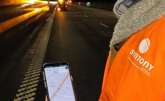
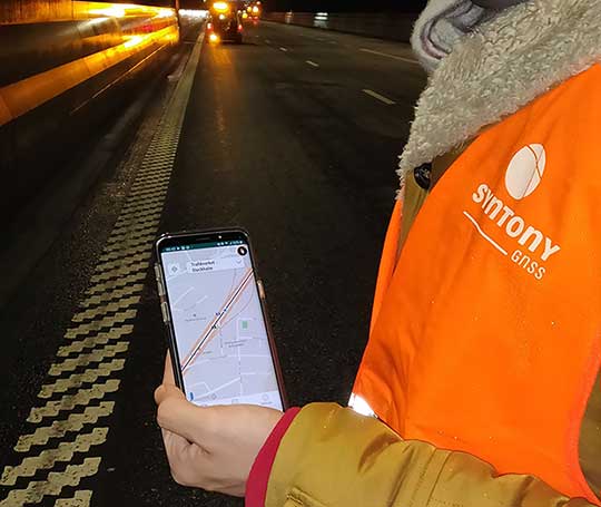
The founders of Chronos and UrsaNav have formed a new collaboration, named Taviga, that will focus on preserving and establishing low-frequency (LF) positioning, navigation and timing (PNT) networks in the United Kingdom, Europe and the U.S., using repurposed Loran-C or purpose-built eLoran technology.
Taviga aims to ensure timing and navigation for critical infrastructure, protecting it from cyber and other threats, and addressing the concern that over-dependence on single systems for PNT increases vulnerability.
According to a joint press release, “Taviga combines the founders’ decades of experience specializing in low-frequency (LF) PNT technology and industrial timing applications at national and international levels. Its objective is to provide a commercially operated assured LF PNT service.”
Partner with Government. Charles Curry of Chronos Technology Ltd. in the UK and Charles Schue of UrsaNav Inc. in the U.S. joined forces to launch Taviga Ltd. and Taviga LLC. Taviga anticipates working in partnership with government agencies and other entities that have a vested interest in reducing the vulnerability and improving the resilience of critical national infrastructure with a dependency on the GPS and other GNSS sources of PNT.
“We have been researching the precise timing capability of eLoran transmissions for over 10 years,” Curry said. “During that time, the system has never failed, and most impressively it has continued to deliver sub-microsecond time accuracy traceable to UTC in very challenging locations, including deep inside buildings.
“Our research program was supported by the UK’s Innovation Agency — Innovate UK through two flagship projects, GAARDIAN and SENTINEL,” Curry continued. “These two projects highlighted the vulnerabilities that threaten GPS signals (and in the future, Galileo) such as jamming, interference and spoofing. They also demonstrated how eLoran is a technically dissimilar source of PNT and not vulnerable to the same types of interference. eLoran is a truly complementary source of PNT, ideal for use in critical infrastructure applications such as telecoms, broadcasting, financial services and power utilities.
“Every government, academic and industrial study has resulted in the selection of the LF technology known as Enhanced Loran, or eLoran, as the best wide-area complement to GNSS,” UrsaNav’s Schue added. “There is no doubt that the combination of GNSS and eLoran provides the PNT resilience that most users require.
“Integrated GNSS-eLoran solutions can provide the proof-of-time and proof-of-position necessary to safeguard national infrastructure and for business continuity of operations,” Schue said. “Adding eLoran to the PNT mix enables or enhances capabilities of regional and purpose-built solutions. Overreliance on a single solution is neither prudent nor safe.”
Tests led by Chronos and using UrsaNav’s eLoran receiver engine have consistently demonstrated positioning accuracies of better than 10 m and timing accuracies of less than 100 nanoseconds in the area of differential eLoran reference sites.
Taviga’s goal is the long-term operation of an eLoran system for at least 10 years, a period that provides the necessary service assurance continuity to enable industrial users to invest with confidence in an eLoran-based timing and navigation service that complements their GNSS solutions. As users become accustomed to the capabilities and resilience of a combined GNSS-eLoran solution, Taviga expects to expand the service footprint worldwide.
Timing
Leap second lives on
The International Telecommunication Union (ITU) World Radiocommunication Conference (WRC-15) decided that further studies are required on the impact and application of a future reference time-scale, including the modification of Coordinated Universal Time (UTC) and suppressing the so-called “leap second.”
Leap seconds are added periodically to adjust to irregularities in the Earth’s rotation in relation to UTC, the current reference for measuring time, in order to remain close to mean solar time (UT1). A leap second was added most recently on June 30 at 23:59:60 UTC. The proposal to suppress the leap second would have made continuous reference timescale available for all modern electronic navigation and computerized systems to operate while eliminating the need for specialized ad hoc time systems.
A report will be considered by the World Radiocommunication Conference in 2023. Until then, UTC shall continue to be applied as described in Recommendation ITU‑R TF.460‑6.
Disconnect from the Sun? As a representative of the Lick Observatory of the University of California stated, “a problem is that simply omitting leap seconds would redefine the meaning of the word “day” so that it is not related to the sun in the sky, nor connected with the rotation of the Earth.”
“Modern society is increasingly dependent on accurate timekeeping,” said ITU Secretary-General Houlin Zhao.“ITU is responsible for disseminating time signals by both wired communications and by different radiocommunication services, both space and terrestrial, which are critical for all areas of human activity.”
Further studies will be coordinated by ITU along with several other international organizations.
Inertial/GNSS
Drone rules, registry
The Federal Aviation Administration announced in December an official rule and registration process for hobbyists who own small unmanned aircraft weighing more than 0.55 pounds and less than 55 pounds, including payloads such as on-board cameras.
The online registration system does not yet support registration of small UAS used for any purpose other than hobby or recreation — for example, using an unmanned aircraft in connection with a business. The FAA is developing enhancements that will allow such online registrations by spring of 2016.
The registration procedure is a statutory requirement that applies to all hobby aircraft. Under this rule, any owner of a small UAS who has previously operated an unmanned aircraft exclusively as a model aircraft prior to Dec. 21, 2015, must register no later than Feb. 19, 2016. Owners of any other UAS purchased for use as a model aircraft after Dec. 21, 2015, must register before the first flight outdoors.
Owners may register through a web-based system or paper-based process. There is a $5 registration fee, but the FAA is offering a full rebate for those who register before Jan. 20, 2016.
Under the rule, each aircraft must be marked with a unique number, although not necessarily the serial number. The goal is to help authorities track down an owner if a drone collides with another aircraft, flies too high or encroaches on an airport.
Owners using the model aircraft for hobby or recreation will only have to register once and may use the same identification number for all of their model UAS. The registration is valid for three years.
“We expect hundreds of thousands of model unmanned aircraft will be purchased this holiday season,” FAA Administrator Michael Huerta said. “Registration gives us the opportunity to educate these new airspace users before they fly so they know the airspace rules and understand they are accountable to the public for flying responsibly.”