Tag: European companies

  • Trimble: European company reduces emissions and improves deliveries

    Trimble: European company reduces emissions and improves deliveries

    Trimble Maps enables a shipping company to offer one-hour delivery windows. (Photo: Trimble)
    Trimble Maps enables a shipping company to offer one-hour delivery windows. (Photo: Trimble)

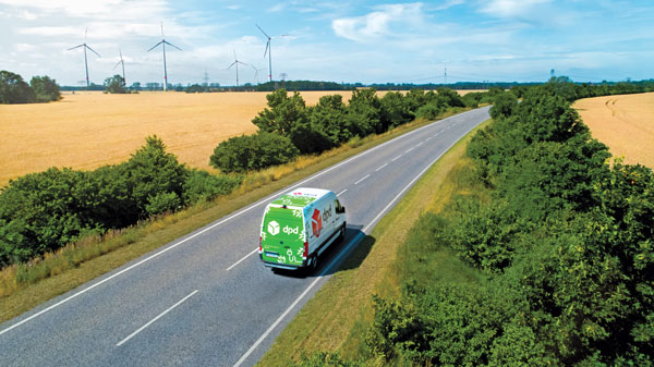
    To reduce its emissions, DPD Deutschland — a franchise of DPDgroup, one of the largest international parcel carriers in Europe — has asked Trimble Maps to help optimize its operations. DPD Deutschland’s parcel supply chain covers 80 franchise depots, 9,500 employees and more than 13,000 drivers, delivering about 2 million packages to businesses and consumers per day via a mixed fleet of vehicles, including electric ones.

    DPDgroup has a vision to become the international standard in sustainable delivery by 2030. Per parcel, it has reduced its CO2 emissions by 18.8% since 2013 and is on track to reach a 30% reduction by 2030, according to Trimble.

    One of DPD’s most popular service offerings, called Predict, allows parcel recipients to track the progress of their deliveries in real time, with an estimated one-hour delivery window and updated notifications along the way. Since 2014, Trimble Maps’ portfolio has helped calculate this one-hour delivery window and provided turn-by-turn navigation to DPD drivers, resulting in less overall travel time, more successful first-time deliveries and reduced emissions.

    DPD was the first, and still is the only, parcel carrier in Germany that provides recipients with an estimated one-hour delivery window, the company says, calculating it for every parcel. The service is made possible in part by the integration of Trimble Maps’ route optimization and mapping web services platform, known internally as DPD Maps. Recipients can reschedule deliveries as needed for future days and times, or perhaps to a convenient drop-off location. This reduces emissions created by multiple return trips.

    DPD Maps calculates an optimized route for drivers, who are then able to manually sort the stops and change the route to best fit their preferences. Once routes are locked in, Trimble’s commercial navigation application, CoPilot, provides drivers with real-time directions. Once a driver’s route is complete for the day, DPD can compare the actual route taken with the optimized route DPD Maps calculated in an easy-to-understand view that can be analyzed by the driver and the depot.

    DPD Maps allows the company to visualize, share and discuss results with different stakeholders within the organization. The solution also allows drivers to plan out their day as they see fit, while giving the back office access.

  • ESA seeks new PNT ideas for annual NAVISP workplan

    ESA seeks new PNT ideas for annual NAVISP workplan

    The European Space Agency is looking for navigation and positioning ideas, with its Navigation Innovation and Support Programme (NAVISP) seeking input by March 31.

    NAVISP is divided into a trio of elements. Element 1’s scope of activities ranges from initial feasibility studies and viability analyses all the way to full proof of concept for promising positioning, navigation and timing (PNT) systems and services.

    To compile its annual Element 1 workplan, NAVISP invites innovative PNT concepts from companies or academic entities across NAVISP participating states. Those interested can submit a 1-page description, along with notifying their national ESA delegation of their application. See details here.

    NAVISP Industry Days took place in 2020 at at ESA’s ESTEC, The Netherlands. (Photo: ESA)
    NAVISP Industry Days took place in 2020 at at ESA’s ESTEC, The Netherlands. (Photo: ESA)

    The NAVISP Element 1 workplan supports cutting-edge European companies in development of novel PNT technologies and services. Underscoring the commercial priority of this field, 20 ESA Member States plus Canada have joined the program.

    PNT underpins a 10th of Europe’s economy, according to ESA, in areas such as transport, precision agriculture, power, communication, banking and the fast-growing internet of things.

    Satellite navigation, with signals from space extending across the globe, represents the single biggest source of PNT information, but these signals are not available in all locations and are vulnerable to natural or human-made interference.

    NAVISP Element 1 is focused on innovation in PNT, involving novel concepts, techniques, technologies and systems along the entire value chain. They often combine GNSS with other solutions such as artificial intelligence, other sensors, adding Wi-Fi or 5G signals to PNT fixes, or employing high-altitude atmospheric platforms to supplement GNSS coverage over regions in need.