Tag: GNSS-IMU

  • Spain’s PLD Space to develop GNSS-IMU for reusable space vehicles

    Spain’s PLD Space to develop GNSS-IMU for reusable space vehicles

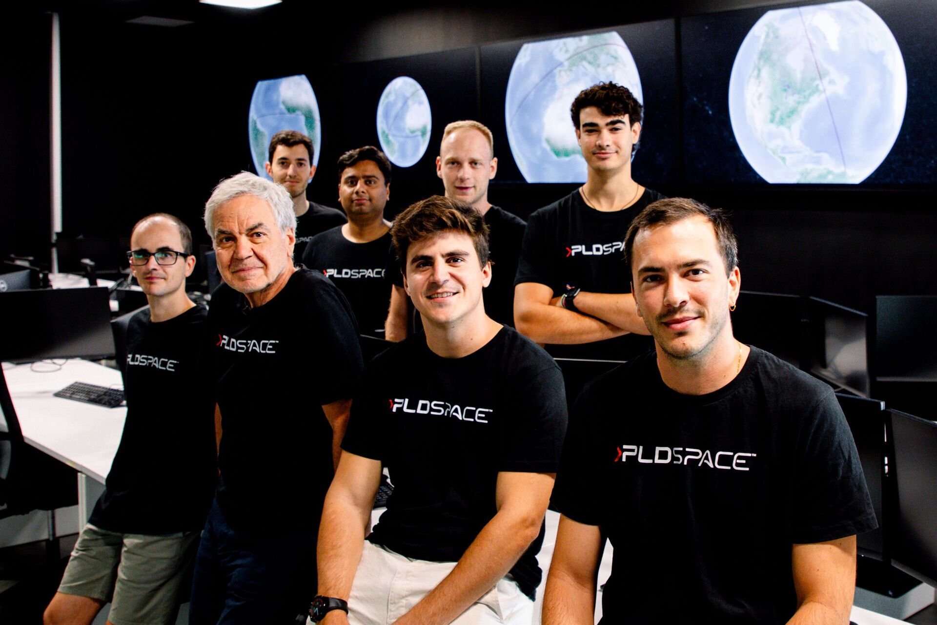
    PLD Space, based in Elche, Spain, has been selected by the European Space Research and Technology Centre (ESTEC) for its first Guidance, Navigation and Control (GNC) contract. Under this contract, the company will develop HALCON (Hybridization Algorithms and Low-cost Components for Optimized Navigation), a new hybrid navigation software for reusable launch vehicles. 

    ESTEC is part of the European Space Agency (ESA). The project has been approved under NAVISP Element 2, a key ESA initiative to enhance European competitiveness in positioning, navigation and Timing (PNT) technologies.

    The contract, with a total budget of €995,705, will be co-funded equally by ESA and PLD Space, which will retain ownership of the final development. 

    GNSS-IMU System for Reusability

    The HALCON project aims to develop advanced software that combines inertial measurement unit (IMU) data with GNSS signals to achieve precise navigation during rocket launch and landing, a critical capability for reusable launchers such as MIURA 5 and MIURA Next. 

    Traditionally, IMU-only systems have been costly, less accessible, and less accurate over long operational periods. By integrating GNSS signals (such as Galileo or GPS), PLD Space will develop its own, more affordable and more precise navigation system, optimized for controlled landings — an essential step towards advancing the reusability of space vehicles. 

    Image: PLD Space
    Image: PLD Space

    “This project represents a strategic step forward in the development of our own navigation capabilities,” said Raúl Verdú, co-founder and chief business development officer of PLD Space. “With ESA’s support, we will enhance landing maneuver precision, gain vertical integration, and move towards the future integration of autonomous flight termination technologies in Europe.”

    The proposal was selected under ESA’s NAVISP Spanish Call, launched in November 2024, arranged both by the Spanish Space Agency (AEE) and ESA. The call invited Spanish industry to propose innovative projects in the PNT field. PLD Space’s contract follows a rigorous technical and commercial assessment and has been favorably evaluated for its alignment with market demand, the competitiveness of the solution, and the strength of its commercialization strategy. 

    Technology for Europe’s Future in Space 

    The HALCON system will deliver centimeter-level positioning accuracy, enhancing both safety and operational efficiency. It is based on commercial off-the-shelf (COTS) components, significantly reducing development costs compared to traditional high-end solutions. 

    This technology will not only improve the reliability and sustainability of space transportation but will also pave the way for future capabilities such as a European Autonomous Flight Termination System (AFTS), which is not yet authorized on the continent. This capability is critical for increasing flight autonomy and mission safety in complex scenarios, while positioning Spain as a leader in next-generation launchers. 

    The development will be carried out entirely in-house by PLD Space’s engineering team, with ESA’s technical support, and will be integrated into the company’s technology roadmap, aligned with its reusability and operational autonomy plans through 2030. 

  • SkyTraq introduces automotive-grade dead-reckoning receiver

    SkyTraq introduces automotive-grade dead-reckoning receiver

    Photo: SkyTraq
    Photo: SkyTraq

    SkyTraq Technology Inc. has launched a GNSS/inertial measurement unit (IMU) suitable for both automotive pre-installation and aftermarket.

    The robust PX1120D dead-reckoning module integrates a 6-axis IMU and a concurrent quad-GNSS chipset, forming a sensor-fusion solution that maximizes positioning accuracy even in challenging environments. The PX1120D receives concurrent GPS/GLONASS/Galileo/Beidou/QZSS signals.

    For automotive pre-installation applications where vehicle wheel-tick signals are available, the PX1120D provides wheel-tick sensor fusion with automotive dead-reckoning. In aftermarket applications where wheel-tick signals are unavailable, the PX1120D provides an untethered dead-reckoning sensor-fusion solution.

    A single PX1120D module provides both automotive and untethered dead-reckoning functionality, simplifying logistics. The PX1120D provides 100% position coverage. It is suitable for infotainment systems, telematics control units, vehicle tracking, and advanced driver-assistance systems (ADAS) applications that require the highest performance and reliability, as well as uninterrupted positioning.

    The PX1120D supports flexible mounting in any orientation. Its auto-calibration feature simplifies the installation procedure.

    The 12 x 16 mm PX1120D offers continuous navigation in tunnels and underground parking lots. It can output attitude, gyroscope and accelerometer sensor data, making it useful for black-box driver behavior monitoring and insurance accident reconstruction.

    The PX1120D uses an AEC-Q100 qualified chipset and is manufactured in ISO/TS-16949 certified plants. An engineering sample, evaluation kit and datasheet will be available by the end of August. Volume delivery to customers begins in the fourth quarter of this year.

  • Phase One launches 280-megapixel camera with Applanix GNSS

    Phase One launches 280-megapixel camera with Applanix GNSS

    Photo: Phase One Industrial
    Photo: Phase One Industrial

    Phase One Industrial has launched a 280-megapixel aerial photogrammetric system, with an image coverage width of more than 20,000 pixels.

    The large format enables unprecedented high-quality aerial survey productivity, the company said. Compact and lightweight, the new aerial mapping solution can reduce operating costs and produce better returns on investment than today’s traditional large format systems.

    The Phase One Industrial 280MP Aerial Solution consists of an iXM-RS 280F large format camera, Applanix GNSS/IMU receiver (POS AV series), Somag gyro-stabilized mount (DSM 400), Phase One iX Controller and iX Flight Management software.

    The system is a large format camera system that easily integrates with the DSM400 gyro-stabilized mount, creating a compact and lightweight system for use in a wide range of aircraft.

    At the system’s heart is the iXM-RS 280F, a dual-lens metric camera with 90mm lenses for capturing RGB information, providing precision imaging. Adding a near infrared (NIR) camera generates a 4-band configuration, most useful in agriculture, forestry and pipeline monitoring.

    The iXM-RS 280F camera generates a central projection image from two 150MP nadir images with equal ground resolution. The cameras’ backside illuminated CMOS sensor supports very high dynamic range at 83dB. Its high light sensitivity provides superb image quality in challenging low light conditions, enabling operators to take advantage of more flight hours per day and more flight days per year.

    “Our 280MP Aerial Solution is a bold and innovative approach to solving customers’ demands for affordable and reliable aerial mapping performance,” said Dov Kalinski, general manager, Phase One Industrial. “Previously, opportunities in the aerial mapping business were restricted due to high cost of equipment and limited aircraft options. While pioneering superior image quality, Phase One Industrial is creating more profitable possibilities in this exciting and important market.”

  • CHC Navigation introduces Alpha3D mobile mapper

    CHC Navigation introduces Alpha3D mobile mapper

    Photo: CHC Navigation
    Photo: CHC Navigation

    CHC Navigation has launched the Alpha3D Mobile Mapping solution, which provides a unique combination of sensor technologies and the company’s core GNSS expertise.

    The Alpha3D is a high-performance, vehicle-independent mobile mapping solution that can capture mass data in continuously changing world environments, enabling geospatial professionals to get work done quickly and more accurately to increase their return on investment.

    The Alpha3D can be mounted on a variety of platforms, including different type of vehicles, trains, railway trolleys and boats. It rapidly and efficiently collects high density, accurate point clouds and powerful image data. It also adds extra information from additional sensors, such as a high-resolution camera, thermal camera, echo sounder or extra profiler.

    The Alpha3D combines high-performance hardware — including a long range, ultra-high speed, precise laser scanner, high-resolution HDR panoramic camera in combination with an advanced GNSS receiver and high-precision inertial measurement unit (IMU) — in one instrument in a light weight, compact yet rugged design, according to George Zhao, CEO of CHC Navigation.

    “All theses features keep Alpha3D as one of most innovative system in market today,” Zhao said.

    “With Alpha3D, users can collect more data faster and reduce time in the field more than 40% compared to traditional surveying instruments,” said Andrei Gobb, product manager of Mobile Mapping Solutions. “By combination of point clouds and high-resolution images, as well as information from additional sensors, there is no need to return to site for remeasurement.”


  • Inertial Sense debuts rugged micro GNSS-INS module

    Inertial Sense has announced the availability of a micro-sized rugged version of its combined GNSS-INS module, which has an onboard GNSS receiver as well as a fully fused inertial navigation solution.

    Designed to fill autonomous vehicle and sensing needs, the module is also available in AHRS/IMU versions.

    At 10 grams and with 1 x 1-inch footprint, the solution provides accuracy of 0.1-degree roll/pitch and 0.3-degree dynamic heading. It is also ITAR-free module.

    The modules represent 15 years of inertial navigation and motion measurement experience, according to the company.

    “When I set out on this journey to provide an accurate and low-cost navigation solution, I wanted to produce a product that engineers could purchase off the shelf, hassle free,” said company founder Walt Johnson. “In my past as a UAV engineer, I was always looking for ways to save myself time and money. It’s all about convenience. There is no need to spend time choosing IMU sensors and writing the algorithms to fuse navigation data. We provide it all for you.”