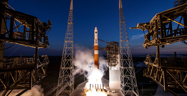
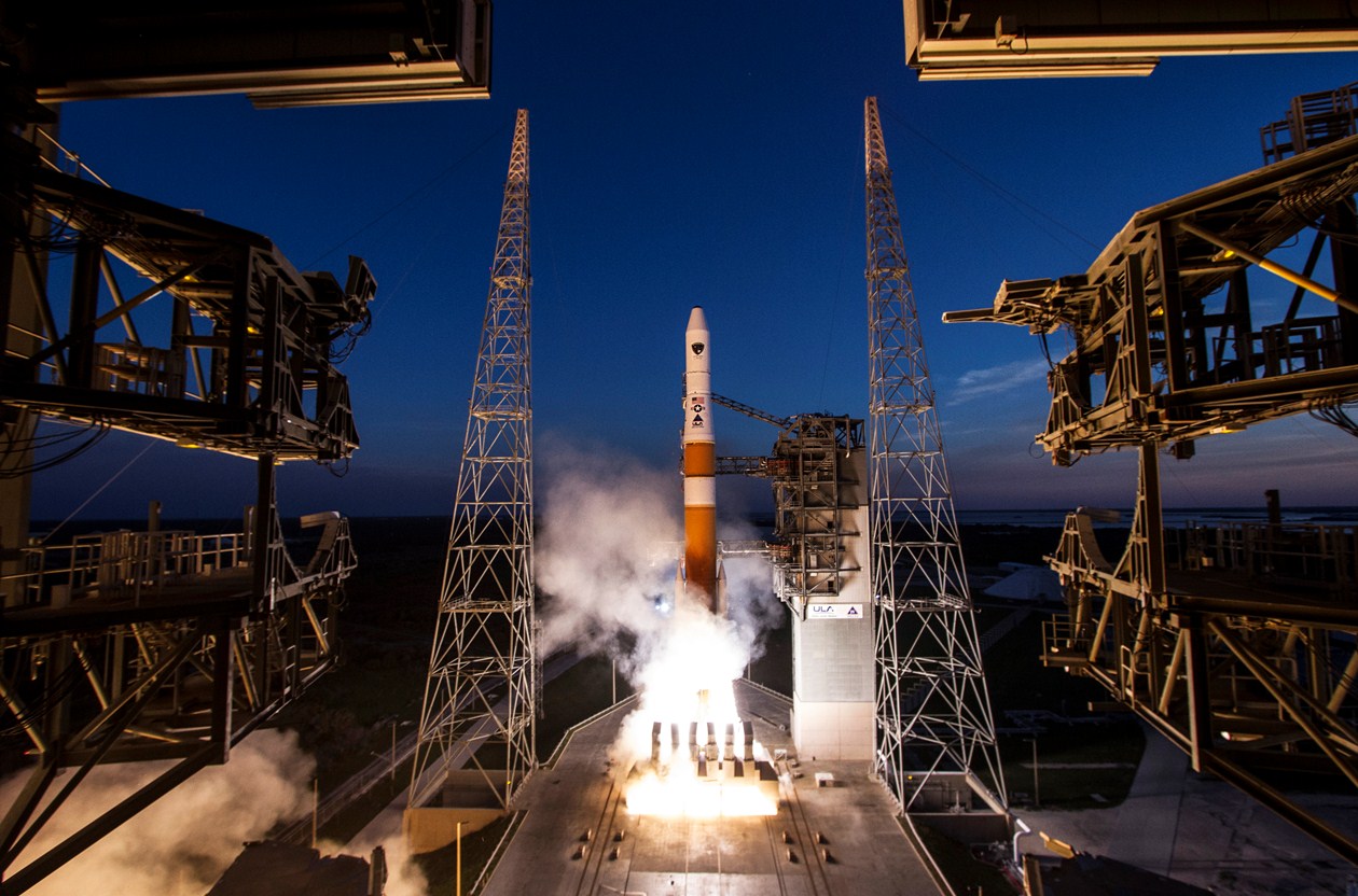
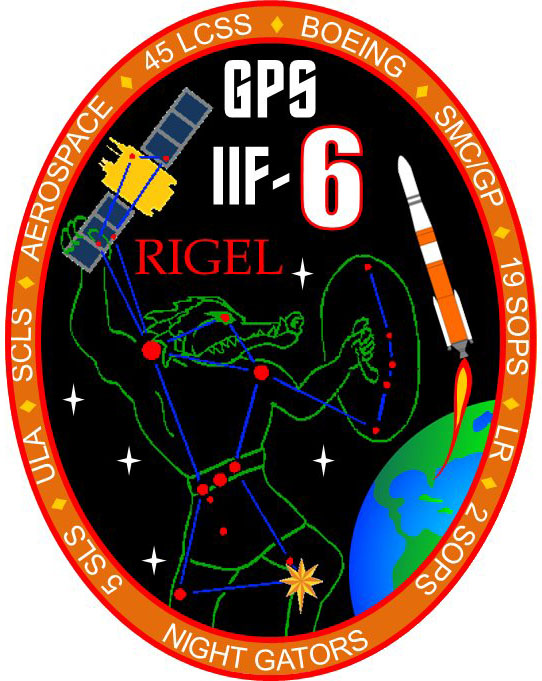
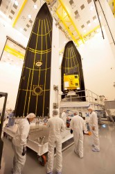
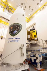
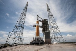
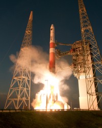
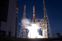
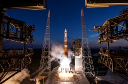
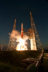
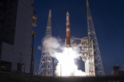
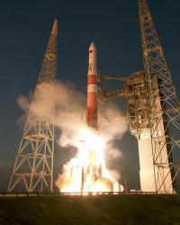
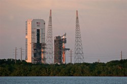
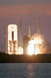
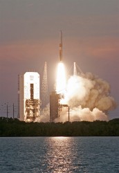
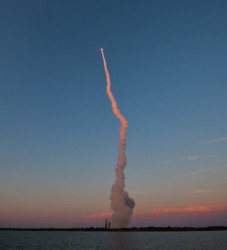
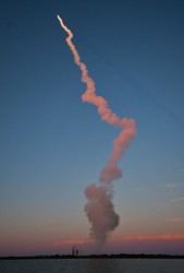
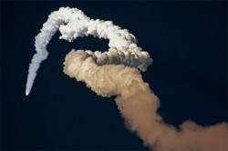
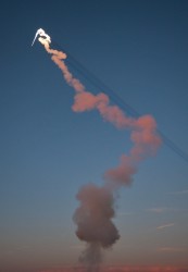
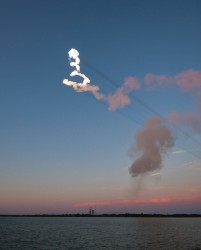
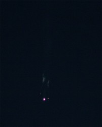
A sixth GPS IIF satellite was launched aboard a United Launch Alliance Delta 4 rocket from Cape Canaveral at 8:08 p.m. EDT May 16.
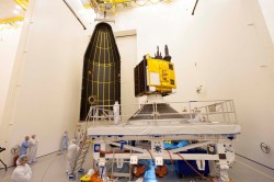
The satellite, designated GPS IIF-6 and built by Boeing, is one of the next-generation GPS satellites, incorporating improvements to provide greater accuracy, increased signals, and enhanced performance for users.
According to Boeing, each GPS IIF satellite has greater navigational accuracy through improvements in atomic clock technology and a new civilian L5 signal to aid commercial aviation and search and rescue operations.
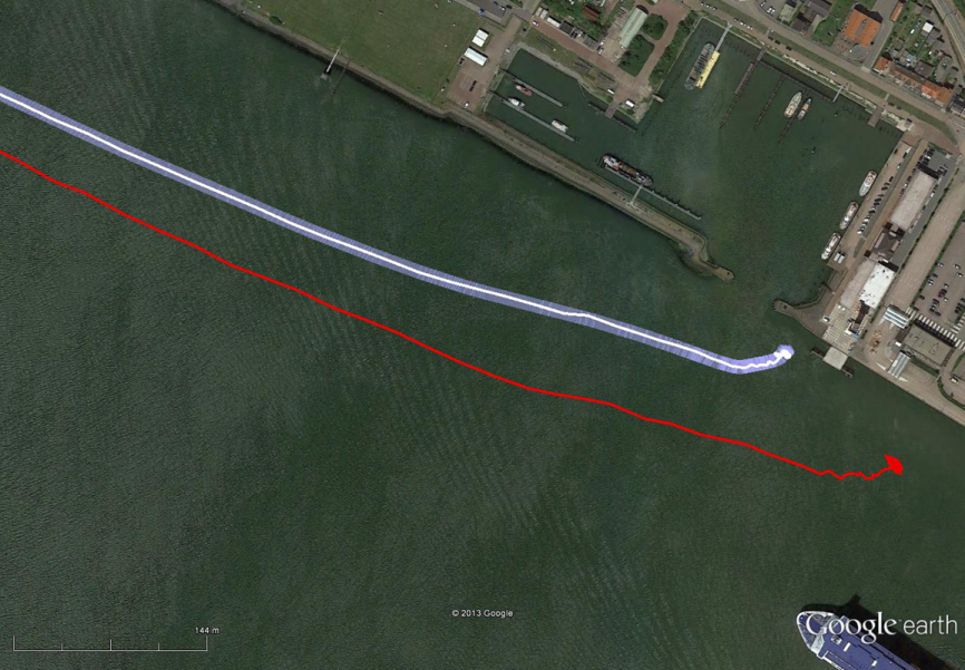
Interestingly, the rocket is the first to be tracked via GPS instead of by radar.
United Launch Alliance’s Atlas and Delta rockets are transitioning to GPS metric tracking for range safety functions, which protect the public and property should a launch vehicle veer off course. The move is a money-saving upgrade to the military’s aging range infrastructure.
A special avionics system on the launcher transmitted the location. For decades, most rockets launching from Cape Canaveral, Florida, and Vandenberg Air Force Base, California, have been tracked by C-band radar.
Two more GPS IIF satellites are scheduled to launch before the end of the year.
Galileo FOC Satellites Reach Spaceport
Galileo’s first two full operational capability (FOC) satellites arrived in Kourou, French Guiana, on May 7, in preparation for launch this summer.
Manufactured by OHB in Bremen, Germany, with navigation payloads contributed by Surrey Satellite Technology Ltd. in Guildford, UK, these satellites — the first of 22 full-capability models — had spent several months at ESA’s Technical Centre, ESTEC, in Noordwijk, the Netherlands, where they underwent exhaustive testing in simulated space conditions.
The Galileo satellites are named for the children who won a painting competition organized by the European Commission in 2011. Doresa and Milena, the first two FOC satellites, will be launched together aboard a Soyuz rocket, joining the four Galileos already in orbit. Adam, the third Galileo FOC satellite, is now undergoing testing under space conditions at ESTEC. Anastacia, the fourth Galileo FOC satellite, will begin final testing at OHB in Bremen before being shipped to ESTEC.
“A steady stream of satellites is foreseen, coming from OHB to ESTEC for acceptance testing and then on to French Guiana,” said an ESA official.
GPS World reported in its March enewsletter EAGER that Galileo may have already fallen off its planned three-launch schedule for 2014.
Arianespace is already facing an exceptionally crowded launch manifest in 2014. A well-informed source opined, “If one were to hazard a guess, here is the most likely scenario: O3b arrives ready for launch several weeks ahead of Galileo and secures the June launch. Galileo moves to August and is promised a second launch in the autumn. O3b’s planned second launch in 2014 is moved to early 2015, as is the planned third launch of Galileo.
“The effect of these schedule slips on the cost of the Galileo program, which is about a year late — cost overruns that Tajani has vowed will not be paid by the commission — is a subject for another day.”
New Loran at 5 Meters
Dutch consultants Reelektronika showed results from a prototype enhanced differential Loran (eDLoran) system, extensively tested in the Europort (Rotterdam) area, at the European Navigation Conference held in April. The tests achieved accuracies of 5 meters. A full technical article describing the equipment, methodology, and test results will appear in the July issue of GPS World.
Harbor pilots require accuracies of 5 meters and some form of robustness or back-up for GNSS systems in case of jamming, unintentional interference, system failure, or other disruption.
The current eLoran system cannot get better than 10-meter accuracy. The new eDLoran opens up new possibilities for multiple applications:
- Installing eDLoran reference stations is fast, simple, and cost effective.
- As there is no data channel bandwidth limitation, multiple reference stations can be installed, which offers increased reliability and makes the system more robust against terrorism and lightning damage.
- A single or multiple eDLoran servers can be installed in a protected area. There is hardly a practical limit in the number of differential reference stations to serve.
CNAV on L2C and L5 Initiated
On April 28, U.S. Air Force Space Command began broadcasting civil navigation (CNAV) messages on all operational GPS satellites capable of transmitting the L2C and L5 signals. L2C is designed for commercial needs and L5 meets safety-of-life transportation requirements.
“These new CNAV messages will enable manufacturers to develop and test advanced civil receivers and make for a more robust position, navigation, and timing (PNT) solution available to the civilian public,” said Maj. Gen. Robert E. Wheeler. “We do not anticipate any GPS satellite outages or legacy degradations as a result of the pre-operational deployment of these frequencies, and those currently using the GPS Standard Positioning Service should not be impacted.”
Initial CNAV broadcast occurs at a reduced data accuracy and update frequency compared to GPS signals in use today. In December 2014, CNAV data updates will increase to a daily rate, bringing L2C and L5 signal-in-space accuracy on par with legacy signals. However, derived position accuracy cannot be guaranteed during the pre-operational deployment. These signals are primarily used to test various equipment and should be employed at the users’ own risk; not used for safety-of-life or other critical purposes.
The Air Force will broadcast L2C messages with the health bit set “healthy,” as was the case during a June 2013 test. L5 messages will be set “unhealthy,” but as experience grows with L5 broadcast and implementation of signal monitoring is achieved, this status may change upon review.