Tag: Indian Regional Navigation Satellite System

  • India mandates NavIC support for smartphones, no timeline yet

    India mandates NavIC support for smartphones, no timeline yet

    Photo: MStudioImages/E+/Getty Images
    Photo: MStudioImages/E+/Getty Images

    The Indian government is pushing smartphone makers to sell devices that receive NavIC signals along with GPS.

    India originally stated NavIC would be required in smartphones sold starting in January 2023, according to Reuters, but strong reaction from smartphone manufacturers Apple, Xiaomi and Samsung apparently caused the government to push back or remove the deadline.

    A deadline of January 2023 would not allow enough time for smartphone makers to integrate NavIC-enabled receivers to their devices. Steps include redesign, securing parts, testing and assembly. Many smartphones sold in India by the companies are economy-level devices priced under US$200.

    The three tech giants met with government officials, seeking an extended target date of 2025, Reuters reported.

    However, India’s Ministry of Electronics & IT issued a statement via Twitter :

    India has been pushing for adoption of NavIC since at least 2021, while chipmaker Qualcomm has been producing NavIC-enabled modules since 2020.

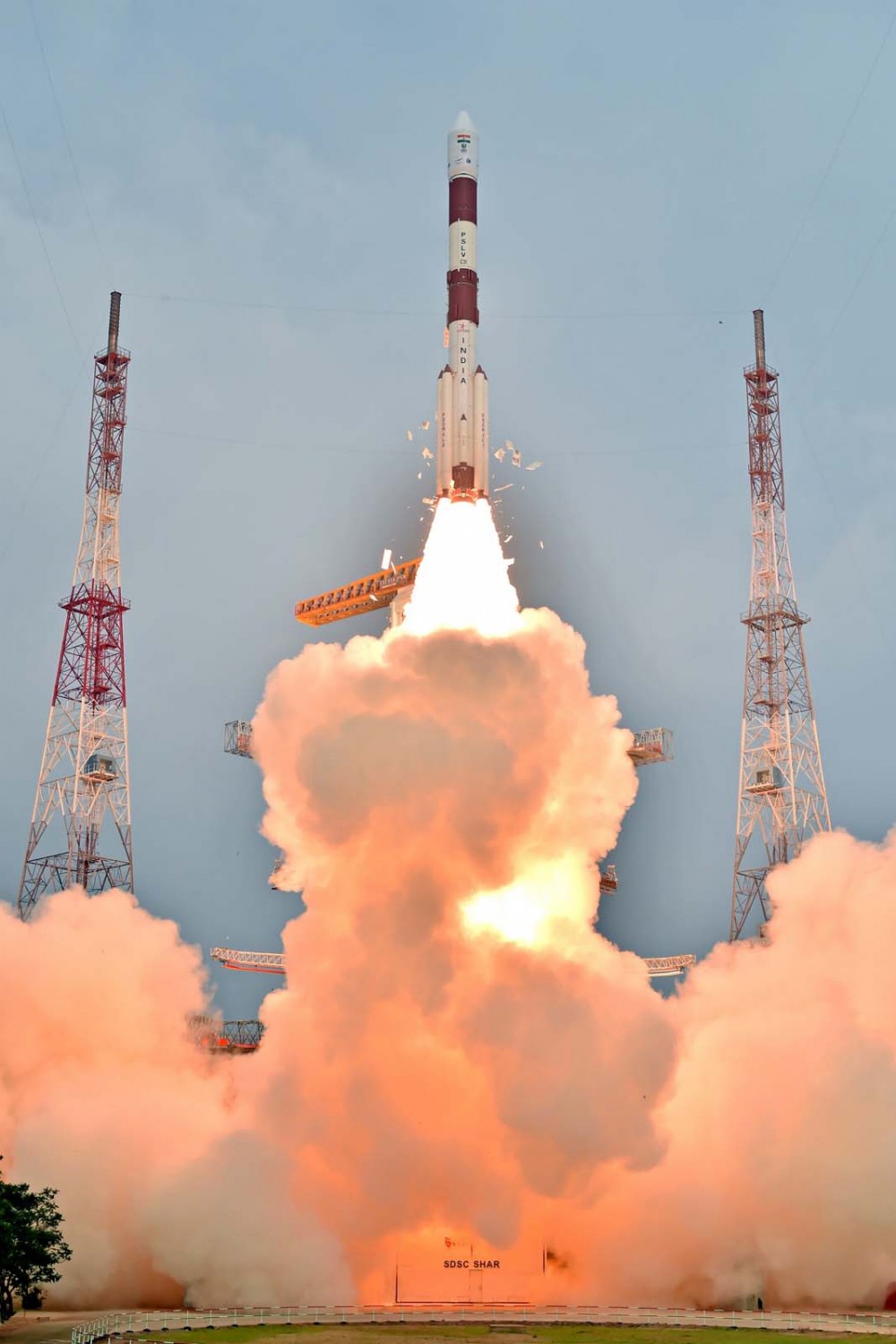
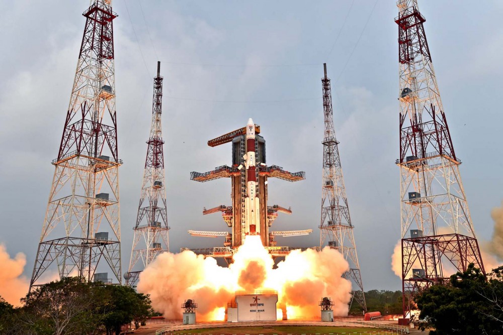
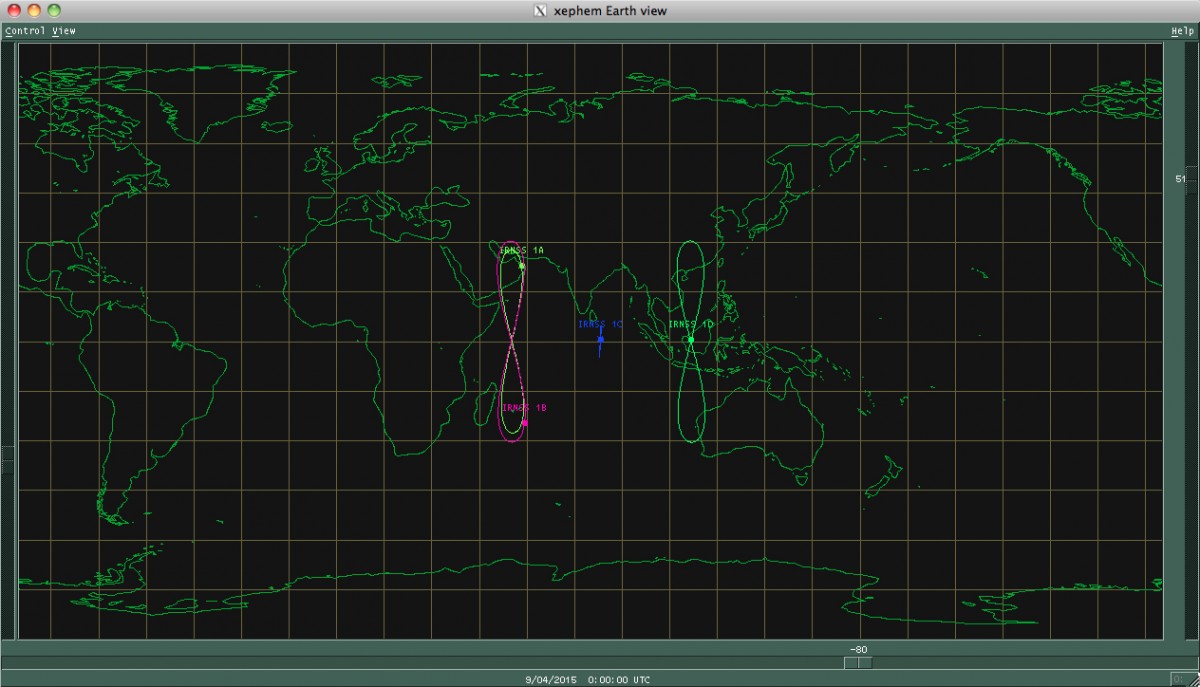
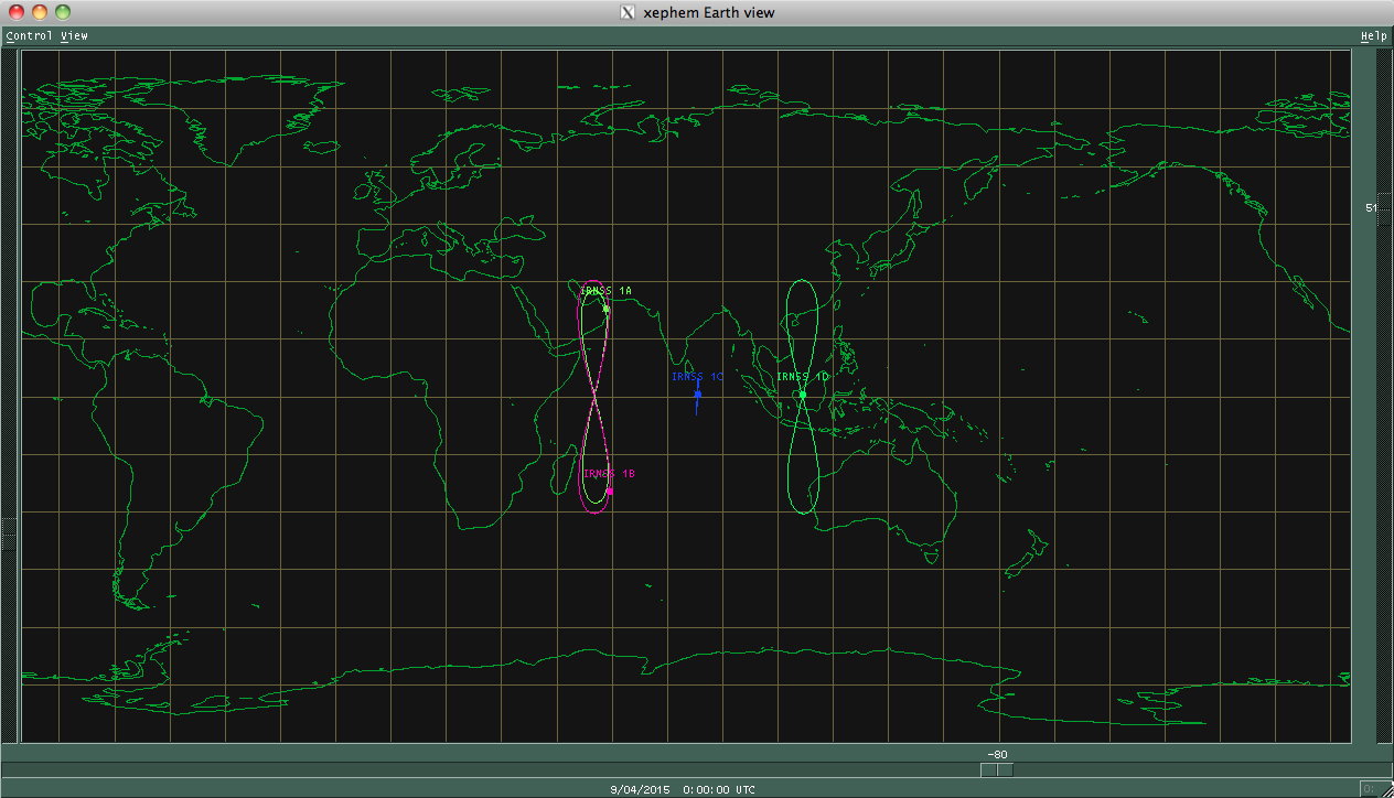
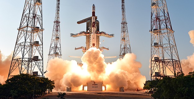
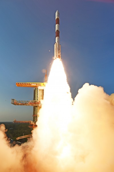
    NavIC (Navigation with Indian Constellation) is the operational name for the Indian Regional Navigation Satellite System (IRNSS) developed by India’s space agency for military and commercial purposes. NavIC consists of eight satellites that cover the Indian mainland and the region extending up to 1,500 km from its boundaries.

    “NavIC can help in navigation on land, air, sea and also in disaster management,” Science & Technology Minister Jitendra Singh said in a press release. “NavIC satellites are placed at a higher orbit than the GPS of United States. NavIC satellites are placed in geostationary orbit (GEO) and geosynchronous orbit (GSO) with an altitude of about 36,000 km; GPS satellites are placed in medium earth orbit (MEO) with an altitude of about 20,000 km.”

    “NavIC uses dual-frequency bands, which improves accuracy of dual-frequency receivers by enabling them to correct atmospheric errors through simultaneous use of two frequencies,” Singh said. “It also helps in better reliability and availability because the signal from either frequency can serve the positioning requirement equally well.”

  • IRNSS constellation nears completion

    India is expected to launch into orbit its seventh and final navigation satellite on April 28, thus completing the Indian Regional Navigation Satellite System (IRNSS).

    IRNSS-1G is expected to launch aboard a Polar Satellite Launch Vehicle (PSLV) rocket from India’s spaceport at Sriharikota in Andhra Pradesh at 12:50 local time.

    To date, India has launched six regional navigational satellites (IRNSS-1A, 1B, 1C, ID, 1E and 1F) as part of a constellation of seven satellites to provide accurate position information service to users across the country and the region, extending up to an area of 1,500 kilometers.

    The full system comprises nine satellites — seven in orbit and two on the ground as stand-by.

    The IRNSS will provide two types of services — standard positioning service and restricted service. The former is provided to all users and the latter is an encrypted service for authorized users.

    Meanwhile, the Indian Space Research Organization (ISRO) is in the process of developing the front-end radio frequency chips for the satellite navigation system. The initial version is expected to be ready this year, ISRO chairman told the New Indian Express.

  • India’s fifth navigation satellite launched

    IRNSS-1E-launch-2
    IRNSS-1E heads for orbit on Jan. 20. (Photo: IRNSS)

    The fifth satellite in the Indian Regional Navigation Satellite System (IRNSS) constellation lifted off on time Jan. 20 from Satish Dhawan Space Center on Sriharikota Island, on India’s east coast.

    As in the previous four launches of IRNSS satellites, the navigation satellite rode aboard a Polar Satellite Launch Vehicle (PSLV). This is the 33rd launch for the PSLV.

    After the PSLV-C31 lift-off at 0401 GMT Wednesday (11:01 p.m. EST Tuesday) with the ignition of the first stage, the subsequent important flight events — strap-on ignitions and separations, first stage separation, second stage ignition, heat-shield separation, second stage separation, third stage ignition and separation, fourth stage ignition and satellite injection — all took place as planned.

    After a flight of about 18 minutes 43 seconds, IRNSS-1E Satellite was injected to an elliptical orbit of 282.4 km X 20,655.3 km inclined at an angle of 19.21 degree to the equator (very close to the intended orbit) and successfully separated from the PSLV fourth stage.

    After injection, the solar panels of IRNSS-1E were deployed automatically. ISRO’s Master Control Facility (at Hassan, Karnataka) took over the control of the satellite. In the coming days, four orbit manoeuvres will be conducted from Master Control Facility to position the satellite in the geosynchronous orbit at 111.75 deg East longitude with 28.1 deg inclination.

    IRNSS-1E is the fifth of the seven satellites constituting the space segment of the Indian Regional Navigation Satellite System. IRNSS-1A, 1B, 1C and ID, the first four satellites of the constellation, were successfully launched by PSLV on July 02, 2013, April 04, 2014, October 16, 2014 and March 28, 2015, respectively. All the four satellites are functioning satisfactorily from their designated orbital positions.

    IRNSS-1E, the fifth satellite in India's regional constellation, lifted off Jan. 20.
    IRNSS-1E, the fifth satellite in India’s regional constellation, lifted off Jan. 20. (Photo: IRNSS)

    IRNSS is an independent regional navigation satellite system designed to provide position information in the Indian region and 1500 km around the Indian mainland. IRNSS would provide two types of services, namely, Standard Positioning Services (SPS) — provided to all users — and Restricted Services (RS), provided to authorized users.

    A number of ground stations responsible for the generation and transmission of navigation parameters, such as satellite ranging and monitoring, have been established in 18 locations across the country. In the coming months, the remaining two satellites of this constellation, namely, IRNSS-1F and IG, are scheduled to be launched by PSLV, thereby completing the entire IRNSS constellation.


  • IRNSS-1D Reaches Orbital Slot

    IRNSS-1D Reaches Orbital Slot

    Photo: IRNSS-1D

    News courtesy of CANSPACE Listserv.

    The fourth satellite in the Indian Regional Navigation Satellite System, launched on March 28, has arrived at its designated orbital slot.

    Based on data supplied by the U.S. Joint Space Operations Center, IRNSS-1D is in an inclined geosynchronous orbit with an inclination of 30.5 degrees and a nodal longitude of 111.7 degrees east, within the allowed limits of the assigned longitude of 111.5 degrees east.

  • India’s IRNSS-1D Launched into Orbit

    India’s IRNSS-1D Launched into Orbit

    IRNSS-1D-1-launch
    Photo credit: ISRO

    The fourth satellite of IRNSS satellite navigation constellation, IRNSS-1D, was launched onboard PSLV-C27 on Saturday, March 28, according to the Indian Space Research Organization (ISRO). The Polar Satellite Launch Vehicle blasted off at 11:49 GMT (7:49 a.m. EST), or 5:19 p.m. local time, at the Satish Dhawan Space Center on India’s east coast.

    This is the fourth successful launch of a navigation satellite in less than a week, following GPS IIF-9 on Wednesday and Galileo 7 and 8 on Friday. A fifth navigation satellite, for the BeiDou constellation, is expected to launch tomorrow.

    This is the 28th consecutively successful mission of the PSLV, the ISRO said. The “XL” configuration of PSLV was used for this mission. Previously, the same configuration of the vehicle was successfully used seven times.

    After the PSLV-C27 lift-off with the ignition of the first stage, the subsequent important flight events took place as planned. After a flight of about 19 minutes, 25 seconds, the IRNSS-1D satellite was injected to an elliptical orbit of  282.52 km X 20,644 km, very close to the intended orbit, and successfully separated  from the PSLV fourth stage.

    After injection, the solar panels of IRNSS-1D were deployed automatically. ISRO’s Master Control Facility (at Hassan, Karnataka) took over the control of the satellite. In the coming days, four orbit maneuvers will be conducted from the Master Control Facility to position the satellite in geosynchronous orbit at 111.75 degrees East longitude with 30.5 degrees inclination.

    IRNSS-D is the fourth of seven IRNSS satellites to be launched to provide navigational services to the region, according to the ISRO. The satellite was placed in geosynchronous orbit. Predecessors IRNSS-1A, 1B and 1C were launched by PSLV-C22, PSLV-C24 and PSLV-C26 in July 2013, April 2014 and October 2014 respectively. All the satellites are functioning satisfactorily from their designated orbital positions.

    The IRNSS navigational system is regional, and targeted towards South Asia. The satellite will enable navigation, tracking and mapping services.

    The next satellite, IRNSS-1E, is scheduled to be launched by PSLV. The entire IRNSS constellation of seven satellites is planned to be completed by 2016.

    IRNSS-1D-2-launch
    Photo credit: ISRO
    IRNSS-1D-3-launch
    Photo credit: ISRO
  • GNSS Constellations March On

    This week nearly all the global navigation satellite systems will push their spatial presence one or two steps further, or higher, if they perform as scheduled. Rarely if ever has there been such a concentrated period of activity in the catapult category. Are we witnessing the real dawn of the multi-GNSS era? GPS, Galileo, BeiDou, and IRNSS all have positioned loaded rockets on the launching pad, destined to heave satnav payloads aloft. Only GLONASS seems stuck in stasis.

    Leading the pack, as ever, GPS should send forth the ninth GPS Block IIF satellite (GPS IIF-9) on March 25 at 2:36 in the Eastern U.S. afternoon. Perhaps the event has already occurred by the time you read this.

    The seventh and eighth Galileo satellites, Adam and Anastasia, are destined for a double date in space on March 27. After a four-hour flight into orbit 22,300 kilometers high, the duo will spring away from their Fregat fourth stage in opposite directions.

    The launch of the fourth satellite for the Indian Regional Navigation Satellite System, scheduled for March 9 but postponed to replace a faulty onboard telemetry transmitter, will now take place on March 29. IRNSS-1D will pass the halfway point in India’s march to a seven-spacecraft regional constellation.

    HTXK4 Credit: BeiDou
    This philatelic first-day cover to commemorate an upcoming BeiDou launch indicates a specific date of March 31, 2015 (circled in red). Credit: BeiDou

    There are indications that the first satellite in the BeiDou Phase 3 expansion may be launched by the end of March. Apparently, a BeiDou satellite has been shipped to the Xichang launch site, and tracking ships have left port for the open ocean. Also, a postal stamp first-day cover for the launch — a common Chinese practice — has been issued with a March 2015 inscription. The launch will likely be that of a medium Earth orbit satellite.

    A GLONASS-M single-satellite launch from Plesetsk had been expected in the first quarter of this year, but has not materialized. A GLONASS-M triple-satellite launch from Baikonur is expected in the April/May 2015 timeframe. The Russian constellation’s orbit count now stands at 26, fully sufficient for global coverage.

    As the Ides of March in 44 B.C. mark a turning point in Roman history, the transition from Republic to Empire, so might this week mark complete world domination. GPS is now ¾ down the last section of road that leads to the fully modernized Block III generation. Galileo will reach, numerically, 1/3 of the total number of satellites it needs for full operational capability, although there is some doubt about whether all satellites now in orbit can be counted as full integers. BeiDou will mark its 15th operational satellite, out of a planned total of 35, with the new philatelically commemorated rising. And, as mentioned, IRNSS will pass its halfway point this weekend.

    Ironically, just as GNSS begins to show signs of approaching its apogee (similar to the dawning of Empire in the Augustan Era that followed Caesar’s assassination on the Ides of March), the world is starting to turn away from, or turn beyond, GNSS.

    GNSS will remain at the core of our navigation and positioning technologies — as Roman values remain at the core of Western civilization. But we need to go now to multi-sensor approaches for several reasons:

    • some requisite positioning data, such as precise attitude, is not optimally derived solely from GNSS measurements;
    • despite their increasing numbers, GNSS satellites will never be ubiquitous enough to be visible in sufficient numbers everywhere;
    • threats such as jamming and interference will likely surmount all efforts at single-solution resilience to overcome GNSS vulnerability.

    ‘Twas ever thus. With rise come decline, with ripeness, decay. Sic transit Gloria.