Tag: Topcon MAGNET

  • Topcon Positioning Group launches point creation software

    Topcon Positioning Group launches point creation software

    Photo: Topcon Positioning Group
    Photo: Topcon Positioning Group

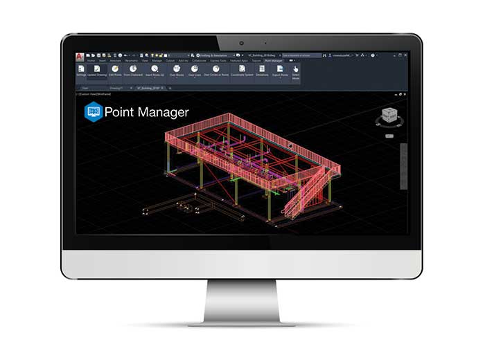
    Topcon Positioning Group has released Topcon Point Manager, a point creation software that’s available as a plug-in for Autodesk AutoCAD and Autodesk Revit users in the U.S. and Canada.

    According to Topcon, the solution is designed to automate point creation and easily import and export layout files to and from a robotic total station. It’ll also simplify the BIM-to-field process with a faster, more seamless point creation experience from within the design platform, reducing the time and cost of layout, Topcon added.

    “Unlike standalone point creation software, which requires the user to leave their particular design environment, users of these two widely used Autodesk technologies will be able to access the solution as a plug-in component to their design package,” said Ray Kerwin, director of Topcon global product planning. “Users will benefit from the ability to automatically create multiple points on BIM objects and 2D/3D drawings from within the Autodesk environments. Just as importantly, however, they will see an increase in their quality assurance and control efforts through easily generated point and deviation reports; a likely reduction in on-site personnel (key during these challenging times), and, with the simplified processes, avoid costly construction errors and rework — the goal of most any operation working in today’s highly competitive construction environment.”

    Photo: Topcon Positioning Group
    Photo: Topcon Positioning Group

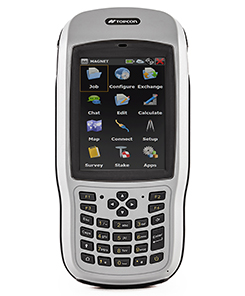
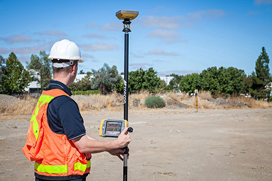
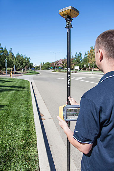
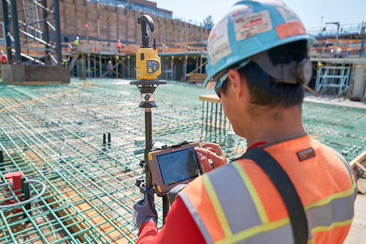
    In addition, Topcon MAGNET users can wirelessly send points to the field for layout and completed layout files can be sent back to the office to update the model to match as-built conditions.

    “With the cloud-connected MAGNET workflow, BIM personnel or CAD teams can immediately share information to and from the field crew using a layout device. Doing so can prove invaluable, as any conflicts in point data can be quickly identified, keeping production levels up and eliminating costly rework,” Kerwin added.

    Topcon Positioning Group designs, manufactures and distributes precision precision measurement and workflow solutions for the global construction, geospatial and agriculture markets.

  • Topcon’s new data controller offers better speed and power

    Topcon’s new data controller offers better speed and power

    Topcon Positioning Group has introduced the T-18 handheld controller, which is designed to drive geopositioning, construction, mapping and vertical construction applications.

    The controller includes a 3.7-inch sunlight-readable display with a 1-GHz processor, 1 GB of internal storage and up to 10 hours of battery life, the company said.

    For data collection using Topcon’s MAGNET Field software, the T-18 controller offers a durable ergonomic solution with fast processing, a large screen, excellent connectivity and a long battery life.

    Topcon MAGNET Field software offers a complete field solution for geopositioning professionals, enabling users to collect survey mapping data and perform construction and road layout using total stations, levels and GNSS receivers.

    The T-18 features a 3.5G cellular modem for connectivity with Topcon MAGNET solutions for sending and receiving data to the cloud company account.

    “The cellular option makes it easy to communicate with field crews when projects need to be changed or if important data is required back in the office. Additionally, the modem can be used for RTK (real-time kinematic) correction services,” Kerwin said.

    Other key features include standard Bluetooth and Wi-Fi connectivity, as well as an IP65 rating for dust and water protection in demanding job site conditions.

  • Topcon Introduces Field Controller for Advanced Data Collection

    Topcon Positioning Group announces a new data controller — the FC-500 — with numerous features and benefits, including a large 4.3-inch touchscreen display and 5MP camera with built-in LED flash.

    The FC-500 is designed for the professional operating Topcon MAGNET Field, Site and Layout software and Topcon’s Pocket 3D.

    Ray Kerwin, director of global surveying products, said, “The FC-500 works with all Topcon GPS/GNSS receivers and total stations, and meets or exceeds all field application requirements.  Additionally, the FC-500 works with the new Topcon LN-100 instrument dedicated to BIM and one-person construction layout, simplifying workflow with the seamless integration with our MAGNET suite of software solutions.”

    Kerwin said, “With a sunlight readable screen, the controller is easy to use even in bright sunlight.  It is the ideal job site controller in any condition (waterproof up to one meter, IP68 rating) and the large camera format with built-in LED flash and built-in 8GB flash storage allows the storing of hundreds of job site photos.”

    The standard model has both Bluetooth and Wi-Fi connectivity, while the FC-500 GEO has Bluetooth, WiFi and GPS.  A third model comes with the addition of a 3.5G cellular modem that allows access to the MAGNET Enterprise Solutions suite, “making the FC-500 the perfect field instrument for sending and receiving data files to the MAGNET cloud,” Kerwin said.

    For the GIS professional using MAGNET Field software, the FC-500 has a geotagging feature that allows imprinting file information, including GPS location, directly on photos.

  • Topcon’s Hybrid Positioning Combines GNSS, Optical Measurement

    Topcon’s Hybrid Positioning Combines GNSS, Optical Measurement

    Photo: Topcon Positioning Group
    Photo: Topcon Positioning Group

    Topcon Positioning Group announces a new technology — Hybrid Positioning — that increases efficiencies and improves productivity on job sites, regardless of conditions, terrain or location. Hybrid Positioning is enabled through the Topcon Magnet software suite, a Topcon enterprise solution for the geomatics industry.

    The new Topcon technology allows precise positioning professionals in the survey, construction, civil engineering and GIS industries to simultaneously connect to GNSS signals and standard robotic measurements on a single rover pole.

    “This extremely clever and unique combination of GNSS and optical measurement is aimed squarely at improving a company’s profitability by allowing the use of GNSS positioning and optical positioning data at the same time,” said Ewout Korpershoek, chief marketing officer of Topcon Positioning Group. “When used with Topcon Magnet software, Hybrid Positioning improves field measurement efficiency at every phase of a project. With Hybrid Positioning technology, the key is versatility. For example, when line-of-sight is blocked, shots can be easily and quickly measured with the GNSS receiver. Now it is so easy to combine a standard Topcon robot and GNSS receiver to guarantee an integrated solution for the highest performance and productivity.

    Photo: Topcon Positioning Group
    Photo: Topcon Positioning Group

    “Combine these two proven solutions, plus advanced Magnet Field software, and you have Hybrid Positioning technology,” Korpershoek said. “By utilizing both GNSS and optical measurement, any project can be completed faster and with unsurpassed accuracy. By adding Magnet cloud-connected data workflow, truly outstanding increases in productivity and cost savings are assured.”

    The new technological breakthrough has four key components: Hybrid Lock, Hybrid Resection, Hybrid Switch and Auto-localization.

    Hybrid Lock allows accurate prism tracking by simply turning the instrument toward the prism location. Hybrid Resection ensures quick job site setup, as well as establishing RTK and geodetic coordinates. Hybrid Switch ensures a quick changeover from GNSS to optical measurement with a single touch. Auto-localization utilizes Bing Maps background, multi-point localization and works with RTK and NMEA positioning.

    “Regardless of job site location or adverse conditions or terrain, Hybrid Positioning systems will perform faster in the field than other instruments and with more versatility than an RTK-only system,” Korpershoek said.