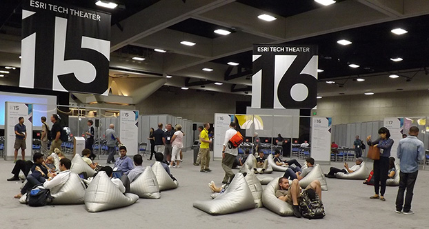
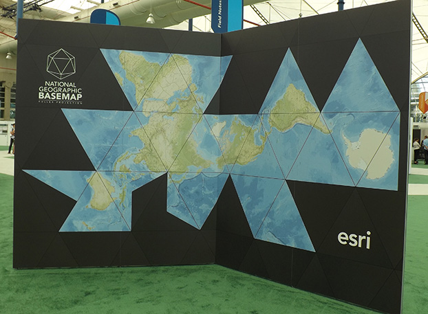
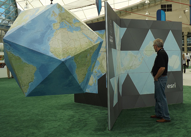
The Esri 2015 Exhibit Hall. (Photo: Tracy Cozzens)
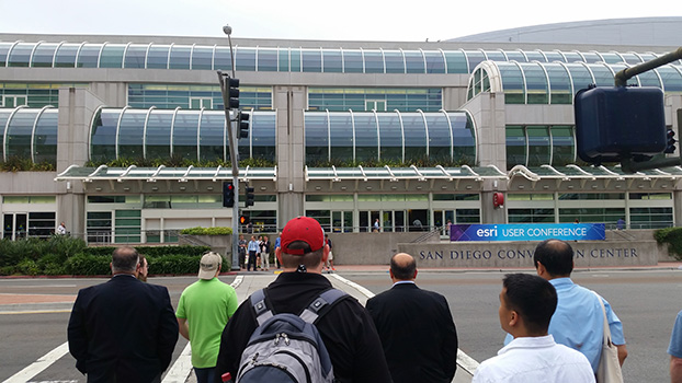
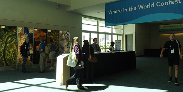
More than 16,000 people from 120 countries around the world are expected to converge in San Diego, Calif., this week to discuss the power of maps and applying geography at the 2015 Esri User Conference (Esri UC). The Esri UC and related events are taking place July 18–24, featuring a variety of speakers from a presidential candidate to global first responders. Attendees will share ideas and best practices for improving our world through maps.
GPS World/Geospatial Solutions staff is on site, and we will be posting news, photos and videos live from the show on this page. Also follow us on Twitter at @GSS_NCM and @GPSWorld.
Septentrio, a designer and manufacturer of GNSS receivers, has launched a new software suite called PinPoint-GIS, which is designed to make GIS data collection and visualization straightforward. Septentrio’s PinPoint-GIS provides several methods of data collection, based on a standard web browser hosted on the Altus APS-NR2 and a mobile app integrated with Esri’s ArcGIS or other GIS mapping systems.
Users of PinPoint-GIS benefit from bringing the data-collection process into their familiar GIS environment, Septentrio said. Data collected with Altus and Septentrio receivers is directly available in the user’s GIS application. This data is processed into the database without any intermediary steps, greatly reducing the time and complexity of the collection process for the user. This allows the user to focus on the project objectives by easily customizing and updating maps instead of losing time on the mechanics of data collection and transmission.
Altus APS-NR2 and GeoPod are well known for providing consistent and accurate data. Thanks to PinPoint-GIS, this data becomes seamlessly integrated with the GIS database. The data becomes easily accessible to the field worker though existing hardware such as commercial and ruggedized mobile devices, regardless of their operating system.
“By introducing PinPoint-GIS, Septentrio is committed to making accurate and reliable GIS collection as simple and cost effective as possible. Once installed Pinpoint GIS works without user involvement to place high quality positions into the users existing GIS data collection tools by using the three components of the software,” said Gustavo Lopez, PinPoint-GIS product manager. “Thanks to PinPoint-GIS, Septentrio provides a seamless interface for capturing data in the field, customizing maps, access to data and user functionality. More field workers can get greater productivity from their existing GIS tools.”
Septentrio will be presenting PinPoint-GIS at Esri AEC Summit, held at the Manchester Grand Hyatt July 18-21, and at the Esri User Conference, held July 20-24. Both events take place in San Diego, Calif.
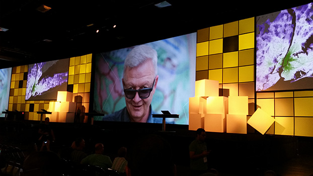
Esri President Jack Dangermond will deliver the keynote speech at Esri UC.
More than 16,000 people from 120 countries around the world are expected to converge in San Diego to discuss the power of maps and applying geography at the 2015 Esri User Conference (Esri UC). The Esri UC and related events will take place from July 18–24, featuring a variety of speakers from a presidential candidate to global first responders. Attendees will share ideas and best practices for improving our world through maps.
“We have millions of users around the globe who do amazing things with our technology every day,” said Esri president Jack Dangermond. “The User Conference is our opportunity to recognize their important work, learn from them, and empower them with even better tools and techniques to continue their mission.”
Other featured speakers will include operations staff from Hartsfield-Jackson Atlanta International Airport, executives from JPMorgan Chase, the director of Strategic Cooperation at the International Centre for Integrated Mountain Development (ICIMOD), and the president and CEO of the National Geographic Society. Former Maryland governor Martin O’Malley headlines a list of innovators from across every industry who will demonstrate how geospatial technology can make government smarter, combat global health challenges, ensure public safety, and drive greater revenues for businesses.
With a full week of activities, the 2015 Esri User Conference is shaping up to be the biggest yet.
Starting Off the Week with a Bang. Before the Esri UC even kicks off, a series of concurrent events related to business; education; national security; architecture, engineering, and construction (AEC ); and 3D mapping will take place July 18 and 19 in and around the San Diego Convention Center. These focused events will give attendees a deeper dive into various functional areas and equip them with an action plan to immediately invigorate their own organizations.
Real Stories from Real People. Throughout the week, more than 1,000 users will deliver presentations detailing how GIS helps their organizations in a number of ways. Whether they’re onstage for Monday’s Plenary Session or leading one of the nearly 300 moderated paper sessions, speakers will share lessons learned and best practices that can help their peers succeed.
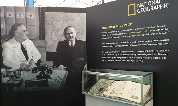
Celebrating 100 Years of Mapping. The National Geographic Society will be on hand to continue celebrating the organization’s 100 years of making maps. A chronicle of the history of maps and the American presidency, from future President Dwight Eisenhower carrying maps into battle during World War II to President Barack Obama receiving official presidential maps in the White House, will present the art and science of where. Gary E. Knell, president and CEO of the National Geographic Society, will also speak at the Plenary Session about the importance of geography in science, technology, engineering, and mathematics (STEM) education.
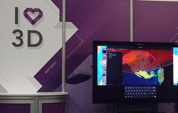
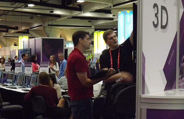
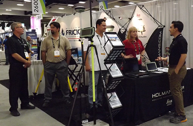
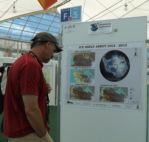
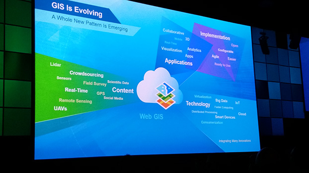
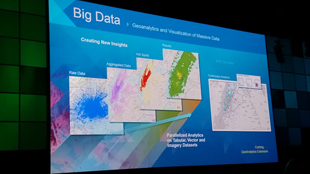
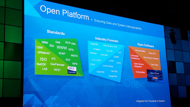
Innovation on Display. From hundreds of expert-led technical workshops to the expansive GIS Solutions EXPO featuring more than 300 technology companies and start-ups, attendees will immerse themselves in the latest and greatest in mapping and spatial analysis. Attendees will find a range of demos, talks, and resources about hot topics—big data, 3D visualization, unmanned aerial vehicles (UAVs), and more.
The Esri UC and related events will span seven days and offer opportunities for both technologists and managers to understand how geography can be applied to every organization’s challenge to drive better outcomes. For more information, visit esri.com/uc.

 More than 16,000 people from 120 countries around the world are expected to converge in San Diego, Calif., this week to discuss the power of maps and applying geography at the 2015 Esri User Conference (Esri UC). The Esri UC and related events are taking place July 18–24, featuring a variety of speakers from a presidential candidate to global first responders. Attendees will share ideas and best practices for improving our world through maps.