The Munich Satellite Navigation Summit program is now online and registration for the event is open. The summit will be held online March 7-8.
The Munich Satellite Navigation Summit focuses on satellite navigation in the present day and future, featuring global speakers and highlighting the latest developments in the field of GNSS. This year’s theme is “AI in GNSS – Intelligence brought to Navigation”.
The summit will feature 12 sessions from industry experts, including sessions on the following topics:
First and Second Generation of the European Satellite Navigation System Galileo
Modernization of the US Global Positioning System
Status and modernization of the Russian Global Satellite Navigation System GLONASS and the Chinese Beidou System (BDS)
Developments of regional systems like the Japanese QZSS and the Indian IRNSS and the Korean Positioning System (KPS)
Use of AI within the navigation world and its implications
Depending on your age, 30 years represents a varying opinion of time. For some, it may seem like forever; for others, it may be a blink of an eye. In respect to technology, it can represent a complete change in the way we do things.
When we turned the calendar page to January 1990, our world had yet to experience the internet, the Hubble telescope had not been deployed to share its fantastic views, and The Simpsons television series was preparing to become the cartoon juggernaut it remains today.
Yes, lots has changed since 1990, and surveying is no exception.
Most professions look back through their history and see various periods where discoveries and inventions revolutionized how the work was completed.
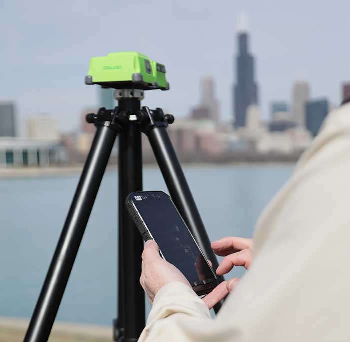
For surveyors, the past 30 years have contained more advancements than all other years combined, with the greatest achievement being the global navigation satellite system (GNSS). With the United States leading the way with its Global Positioning System and the civilian ability to use this measuring system, modern surveying was forever changed.
Solar and lunar observations replaced
Before the implementation of a satellite navigation system, true global navigation was only computed using solar and lunar readings under specific conditions. GPS provided a new frontier for surveyors to establish positions without having to perform traversing from known points or collecting solar/lunar observations.
As the constellation grew, it became easier to use GPS to gain initialization for accurate and redundant position determination. As processor speeds and data storage capability increased, real-time kinematic (RTK) observations became the norm for surveyors everywhere.
The Russian satellite constellation, GLONASS, began operating fully in the late 1990s, and is now included to create today’s GNSS. More satellites provide more coverage, which in turn means more data collection potential.
Many nations and regions are building their own constellations to augment the current GNSS lineup, and also to safeguard the ability to obtain geographic locations when other systems are not available.
Bathymetric surveys made easy
GNSS capability and integration revolutionized several aspects of surveying, including a new and more reliable way of performing bathymetric surveys over large bodies of water. Computerized depth sounders were programmed to coincide readings with GNSS data collection to provide a more accurate and precise method of hydrographic surveying.
The past decade has continued the reliance on GNSS technology with many more devices and applications — not just for the surveyor, but for the public as well. While surveyors are using GNSS receivers on unmanned vehicles such as UAVs and boats, satellite navigation has infiltrated into many of our everyday routines. Cellphones, fitness trackers and our automobiles use this technology to guide us to our destinations.
Surveyors have used the GNSS revolution to create a digital world for better data collection, asset management and increased efficiency. Much has changed in 30 years for the surveyor and the world around us, so we should not be surprised about what technology will bring us next.
“Celebrating this anniversary gives us a moment to recognize how far we’ve come, but also to get pumped about what lies ahead for our program and our role in executing that.”
By First Lieutenant Tyler Whiting Peterson Air Force Base, Colorado
The Global Positioning System marked its 25th year of operation on April 27.
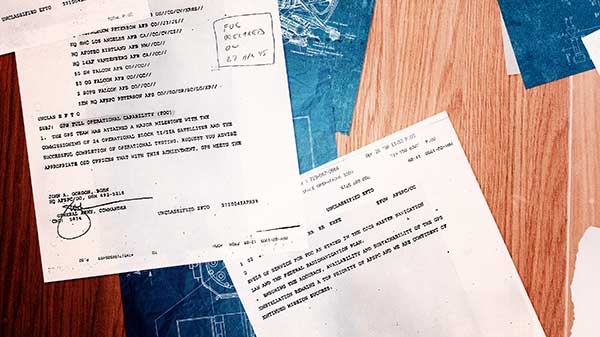
On this date in 1995, the system reached full operational capability, meaning the system met all performance requirements. U.S. Air Force Space Command formally announced the milestone three months later.
“This is a major milestone,” Gen. Thomas S. Moorman Jr., former Air Force Vice Chief of Staff, said in 1995. “GPS has become integral to our warfighters and is rapidly becoming a true utility in the civilian community.”
Initially developed for the military to meet a critical need for determining precise location on the battlefield, GPS has also become an integral part of technology affecting the lives of billions of people worldwide.
“The United States Space Force’s continuing objective for the constellation is to ensure GPS remains the Gold Standard for global space-based positioning, navigation and timing,” said Gen. Jay Raymond, USSF Chief of Space Operations, and U.S. Space Command Commander.
Image: USAF
Today, the U.S. Space Force operates the GPS satellite constellation as a global utility – always available to everyone, everywhere on Earth.
“GPS is a free for use service provided by the Space Force that enhances everyday lives around the world,” said Brig. Gen. DeAnna Burt, USSF Director of Operations and Communications. “GPS provides the highest accuracy positioning and timing data. In addition to the essential capabilities it provides for the military, GPS underpins critical financial, transportation and agricultural infrastructure. It’s always available, whether for an ATM transaction or securing a rideshare.”
Military capabilities
Its military capabilities first enhanced combat operations in 1990 and 1991 during Operations Desert Shield and Desert Storm. Allied troops relied heavily on the new GPS signal to navigate the featureless deserts in Kuwait and Iraq.
In the early 2000s, during Operations Enduring Freedom and Iraqi Freedom, GPS contribution to warfighting increased significantly. For example, the GPS constellation enabled accurate munitions, allowing the delivery of GPS-aided Joint Direct Attack Munitions with pinpoint precision and minimal collateral damage.
Today, in addition to these and other GPS-enabled warfighting capabilities, Airmen conduct resupply missions with battlefield precision airdrops to combat forces with GPS-guided, parachute-delivered equipment pallets known as “Smart Pallets.”
Continually updated
The GPS operational constellation currently has 31 satellites, and the system is continually updated and modernized, making it a resilient system to maintain the signals required for accurate positioning, navigation and timing around the world.
The first satellite of the new GPS III version, called Vespucci, was launched into space Dec. 23, 2018.
The 2nd Space Operations Squadron at Schriever Air Force Base, Colo., operates GPS. The squadron recently accepted control of the second GPS III satellite, called Magellan, on March 27.
GPS III is meeting users’ emerging needs and responding to tomorrow’s threats with improved safety, signal integrity and accuracy. GPS III satellites are more accurate, have improved anti-jamming capabilities, and have doubled the design life; when compared to previous iterations of GPS. They are also designed to incorporate new technology and changing mission needs,
“The 25th Anniversary is a huge, momentous occasion for us. We take great pride in providing this global utility to the approximately six billion users worldwide,” said Lt. Col. Stephen Toth, 2nd SOPS commander. “Celebrating this anniversary gives us a moment to recognize how far we’ve come, but also to get pumped about what lies ahead for our program and our role in executing that.”