Tag: NTRIP

  • Septentrio releases 4.2 firmware for greater performance, security and functionality

    Septentrio releases 4.2 firmware for greater performance, security and functionality

    Septentrio has released version 4.2 firmware for the AsteRx4, AsteRx-U and the newly launched AsteRx-m2. The 4.2 firmware brings higher output rates, low and constant latency, support for TerraStar-C and a built-in NTRIP caster.

    AsteRx-m2 UAS receiver.

    The 4.2 firmware targets machine control applications delivering higher output rates with consistent and low latency. Maximum output rates have increased on all platforms: up to 100 Hz for the AsteRx4 and AsteRx-m2 and 50 Hz for the AsteRx-U, with latencies better than 10 ms and 20 ms respectively.

    TerraStar-C is now supported, bringing precise point positioning (PPP) horizontal position precision to 4 cm. In addition, Septentrio algorithms deliver fast PPP re-convergence making PPP even more attractive for positioning in difficult environments.

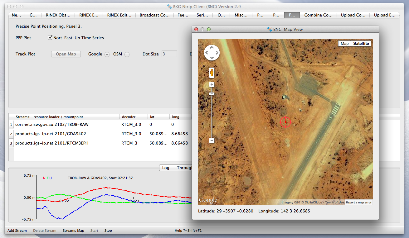
    For the AsteRx4 and the AsteRx-U, the 4.2 firmware enhances ease-of-use by including a built-in NTRIP caster. Correction data from the receiver is available for up to 10 NTRIP clients (or rovers) over the internet. The caster supports up to three mount points and can also rebroadcast correction data from a remote NTRIP server.

    “For machine control and automation, Septentrio receivers have unique low-latency behaviour which is constant and independent of the update rate.” stated Francesca Clemente, Product Manager at Septentrio. She continued: “The 4.2 firmware demonstrates Septentrio’s commitment to advancing performance and functionality of its products.”

  • Geneq announces new iSXBlue RTN RTK app for iOS

    Geneq announces new iSXBlue RTN RTK app for iOS

    iSXBlue-RTN-iPad-Pro-Mockup-Satellites-WGeneq has introduced a new NTRIP client app for iOS that works with iSXBlue receivers.

    iSXBlue RTN is used alongside other geospatial information systems (GIS) and surveying apps to obtain real-time centimeter accuracy on an iPhone or iPad.

    Key features include real-time kinematic (RTK) alarm configurations with NTRIP and DIP modes. The easy-to-use app allows users to update their receiver with the latest firmware, the company said.

    Other features include real-time map location with accuracy and satellite skyplot for GPS, GLONASS and SBAS. The app supports all current and future constellations such as BeiDou and Galileo, the company said.iSXBlue and SXBlue GPS Receiver users include GIS and surveying professionals in industries such as agriculture, environmental, government, mining, natural resources, surveying and utilities.

    isxblue_page_accueil
    iSXBlue for iOS
  • BKG NTRIP Client update coming April 18

    BKG NTRIP Client update coming April 18

    A new version 2.12 of the BKG NTRIP Client (BNC) will be available on April 18.

    Originally developed in cooperation of the Federal Agency for Cartography and Geodesy (BKG) and the Czech Technical University (CTU) with a focus on multi-stream real-time access to GNSS observations, the software has been substantially extended.

    The BKG Ntrip Client is an open source multi-stream client program designed for a variety of real-time GNSS applications. It was primarily designed for receiving data streams from any NTRIP supporting broadcaster. The program handles the HTTP communication and transfers received GNSS data to a serial or IP port feeding networking software or a DGPS/RTK application. In previous years, BNC has been enriched with RINEX quality and editing functions.

    BNC on a Mac system for static real-time precise point positioning with Google Maps, such as for early warning of natural hazards.
    BNC on a Mac system for static real-time precise point positioning with Google Maps, such as for early warning of natural hazards.

    Its primary objective is the promotion of open standards as recommended by the Radio Technical Commission for Maritime Services (RTCM). Implemented RTCM messages comprise satellite orbit and clock corrections, code and phase observation biases, and the Vertical Total Electron Content (VTEC) of the ionosphere.

    Beside its graphical user interface, the real-time software for Windows, Linux and Mac platforms now comes with complete command line interface and considerable post-processing functionality. RINEX Version 3 file editing and quality check with full support of Galileo, BeiDou and SBAS — besides GPS and GLONASS — are among the new features.

    Comparison of satellite orbit/clock files in SP3 format is another new feature of BNC.

    BNC version 2.12 now allows a simultaneous multi-station Precise Point Positioning (PPP) for real-time displacement-monitoring of entire reference station networks.

    BNC version 2.12 generates RINEX version 3.03 observation and navigation files to support near real-time GNSS post processing applications. Whenever BNC starts to generate RINEX observation files, it first tries to retrieve information needed for RINEX headers from so-called public RINEX skeleton files (skl files), which are derived from site logs. Therefore, BKG provides the current system observation types (sot files) per station. From April 18 onward, the sot files with BDS frequency bands consistent to the definition in RINEX version 3.03 will be provided.

    Old configuration files cannot be used without problems. Nevertheless, BNC 2.12 download is coming out with a large set of examples for all the different applications, which can be easily adapted introducing a valid user account.

  • ComNav, CGEOS Build First BeiDou CORS Station in Europe

    Experiencing the Qiao Station with ComNav T300 for surveying.
    Experiencing the Qiao Station with ComNav T300 for surveying.

    Europe’s first commercial BeiDou CORS station  — Qiao CORS Station — has been built in Wallonia, Belgium. ComNav partnered with local company CGEOS – Creative Geosensing on the project. ComNav develops and manufactures GNSS OEM boards and receivers for demanding high-precision positioning applications.

    Qiao means bridge in Chinese, and Joël van Cranenbroeck, managing director of CGEOS, is working to build the bridge between the Chinese and European GNSS industries by introducing the Chinese high-precision GNSS technologies of ComNav Technology to European users, ComNav said in a statement.

    The Qiao Station can track BeiDou Navigation Satellite System on the three frequencies and transmit observation data in RTCM format in real time through NTRIP and observation data in RINEX format. It enhances the positioning performance and result by combining BeiDou with GPS and GLONASS.

    Currently, the BeiDou Navigation Satellite System mainly covers  the Asia Pacific region. Though China is still in the process of building it into a global network, up to six BeiDou satellites can now be tracked in Europe during certain periods of the day. With the new Qiao Station, European users can now try the BeiDou system.

  • NovAtel Offers Relay RTK Radio Module for GNSS Receiver

    NovAtel Offers Relay RTK Radio Module for GNSS Receiver

    NovAtel’s SMART6-L attaches to the Relay RTK radio module to create a single unit for easy system integration.
    NovAtel’s SMART6-L attaches to the Relay RTK radio module to create a single unit for easy system integration.

    NovAtel Inc. has launched the Relay RTK radio module, a docking station that provides radio connectivity for its SMART6-L L-band capable GNSS receiver.

    The Relay RTK module combined with NovAtel’s SMART6-L receiver creates a compact, easy to integrate positioning solution, NovAtel said. It is available in four radio versions: 400 MHz UHF licensed band; 900 MHz UHF unlicensed band; HSPA (3G) cellular; and CDMA (1xRTT/EV-DO) cellular. The CDMA version is approved for use on the Verizon cellular network.

    The 400 MHz and 900 MHz versions support both base and rover configurations. The base station is configured via the integrated web-server/Wi-Fi access point using the web browser on any compatible personal computer, tablet or smartphone. The cellular radio versions support the reception of NTRIP and RTK corrections over the cellular network.

    SMART6-L customers can connect to the Relay using their existing SMART6-L interface cables. Relay has support for both screw and magnetic mounting; optional mounting plates are available for roof and pole mounting. NovAtel’s SMART6-L with Relay provides the same level of performance as a standalone SMART6-L unit with the added convenience of radio connectivity to support RTK and NTRIP corrections.


  • New Open Source BKG Ntrip Client Published

    New Open Source BKG Ntrip Client Published

    The International GNSS Service (IGS) has published a new version of the Open Source BKG NTRIP Client (BNC) for real-time GNSS applications and RINEX3 QC.

    Follow this IGS link to download precompiled binaries for Linux and Windows systems. Version 2.11.0 includes a bug fix for GLONASS code biases as well as RTCM SSR message updates for PPP. The maximum number of GNSS observations has been increased and the loss of lock handling modified. Also, BNC now supports raw stream output through TCP/IP port.

    The source code is available via SVN software archive. A Mac binary is under preparation.

    bncSS2
    Source: IGS
  • Topcon and MAVinci Announce Sirius Pro for Use with RTK Base Stations or NTRIP

    Topcon Positioning Group and MAVinci GmbH have released the latest version of the Sirius Pro surveying UAS (Unmanned Aerial System) program, designed to be compatible with existing RTK (real-time kinematic) base stations or NTRIP (network transport of RTCM data over IP).

    “By connecting an external base station, Sirius Pro will receive the RTCM correction signals and deliver 2-5 centimeter accuracy without using ground control points,” said Eduardo Falcon, executive vice president and general manager for the Topcon GeoPositioning Solutions Group. “When you have mobile Internet on your site, you can achieve the same accuracy even without a local base station using NTRIP.”

    Sirius Pro is designed to deliver orthofotos and three-dimensional elevation models with a high absolute accuracy of 2-5 centimeters without using ground control points. “Combining MAVinci‘s precision timing technology with Topcon sub-centimeter grade L1/L2 GPS/GLONASS RTK receivers, this robust system stands up with a clever solution that helps in the realizing of projects in a better and faster way,” said Johanna Claussen, CEO at MAVinci.

    For users who do not have an RTK base station, an internal base station add-on for the Sirius Pro is available. “It upgrades the Sirius Pro to its full functionality: Use of an internal or external base station depending on your needs,” Claussen said. “This add-on is available anytime via Internet without changing your hardware.”

    Sirius Basic is an entry-level solution for UAS surveying, and delivers orthofotos and 3-D elevation models. The system is designed to offer high-accuracy when using ground control points. “Sirius Basic offers you full flexibility,” said Falcon. “It can be upgraded to Sirius Pro via an Internet update later on — no hardware change is necessary.”

    The system will be available at the Intergeo trade show for geodesy in October and thereon.  The Topcon and MAVinci UAS was first introduced at Intergeo 2013 for the European market and was recently made available in the North American market.