Avenza Systems Inc., a developer of cartographic software — such as MAPublisher for Adobe Illustrator and Geographic Imager geospatial tools for Adobe Photoshop — has launched its affiliate program for PDF Maps, its consumer and enterprise mobile map app.
Any retailer or business, including both online and physical stores, blogs, portals and information sites, can now earn revenue by promoting and selling maps directly to its customers using affiliate links on websites or by using signage with QR codes. Each map sale conducted in this manner will earn the affiliate a share of the revenue.
The PDF Maps Affiliate program is free to join with no application or setup fees or ongoing costs. Existing PDF Maps Store vendors can opt-in to the affiliate program and earn commission in addition to their normal revenue share.
“This is a great opportunity for Avenza to increase our marketing efforts and broaden our brand awareness of the PDF Maps platform,” said sales and marketing director, Doug Smith.
“We are currently working with a number of key map publishers and brands to roll out the affiliate program, and the interest and excitement we’ve seen so far is significant. There has been substantial growth in the use of the PDF Maps app not only as an outdoor recreation tool, but also as a solution for travelers, business people, enterprises and professionals,” Smith said.
Because of this, examples of affiliate businesses include but are not limited to, outdoor recreation stores, hotels, car rental companies, book stores, and even bloggers,” said Ted Florence, president of Avenza Systems. “Moreover, the PDF Maps Affiliate program seeks to embrace and connect brick and mortar retailers that cater to outdoor recreation and whose customers may be interested in maps — to the digital economy, instead of excluding them as has been done in the past with music, books and videos.”
Retailers and businesses interested in joining the affiliate program can sign up for free and can get in contact with the PDF Maps team.
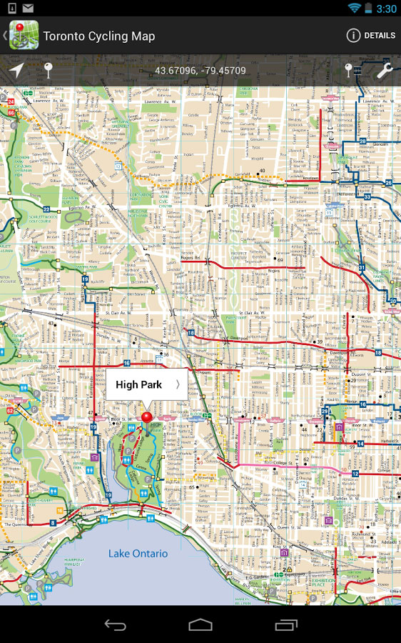
The PDF Maps app is available now on the iTunes App Store and Google Play Store free of charge for personal recreational use. A Windows version is in public beta release. Commercial, government and academic use licensing is available for a nominal annual fee. Pricing of each map is set by the publisher and free maps remain free to users through the PDF Maps in-app store. Commercial use licensing starts at US$49 per year and drops on a per-device basis as deployment numbers increase.


 The
The