Tag: satellite-based positioning

  • Who will survey?

    Who will survey?

    Matteo Luccio
    Luccio

    “Nothing can remain immense if it can be measured,” Hannah Arendt wrote in 1958 in The Human Condition. This could be the guiding inspiration for any geodesist or surveyor throughout history. In about 240 B.C., Eratosthenes became the father of geodesy by ingeniously measuring Earth’s circumference using the Sun, a well, a vertical column, the distance a camel caravan traveled from Syene to Alexandria and some basic mathematics. His estimate of 46,000 kilometers was 16% too large but remarkably close considering that he lacked any modern measuring tool. (For a great account of this epic feat, see John Noble Wilford’s The Mapmakers.)

    Geodesy, a branch of applied mathematics, is concerned with accurately measuring and understanding three of Earth’s fundamental properties: its geometric shape, its orientation in space, and its gravity field. Earth’s true shape varies from the mathematically smooth surface of an ellipsoid due to local differences in its density that cause variations in the strength of the gravitational pull, in turn causing regions to dip below or bulge above a reference ellipsoid.

    This undulating shape is the geoid, which geodesists have defined as the three-dimensional surface along which the pull of gravity is a specific constant. It serves as the zero-level surface for height measurements globally, and all GNSS are pegged to it. It is a hypothetical surface that essentially represents an extension of the idealized mean sea level over (actually, mostly under) Earth’s land surface. Unlike the surface of the oceans, however, it is unaffected by wind, waves, the Moon, or forces other than Earth’s gravity.

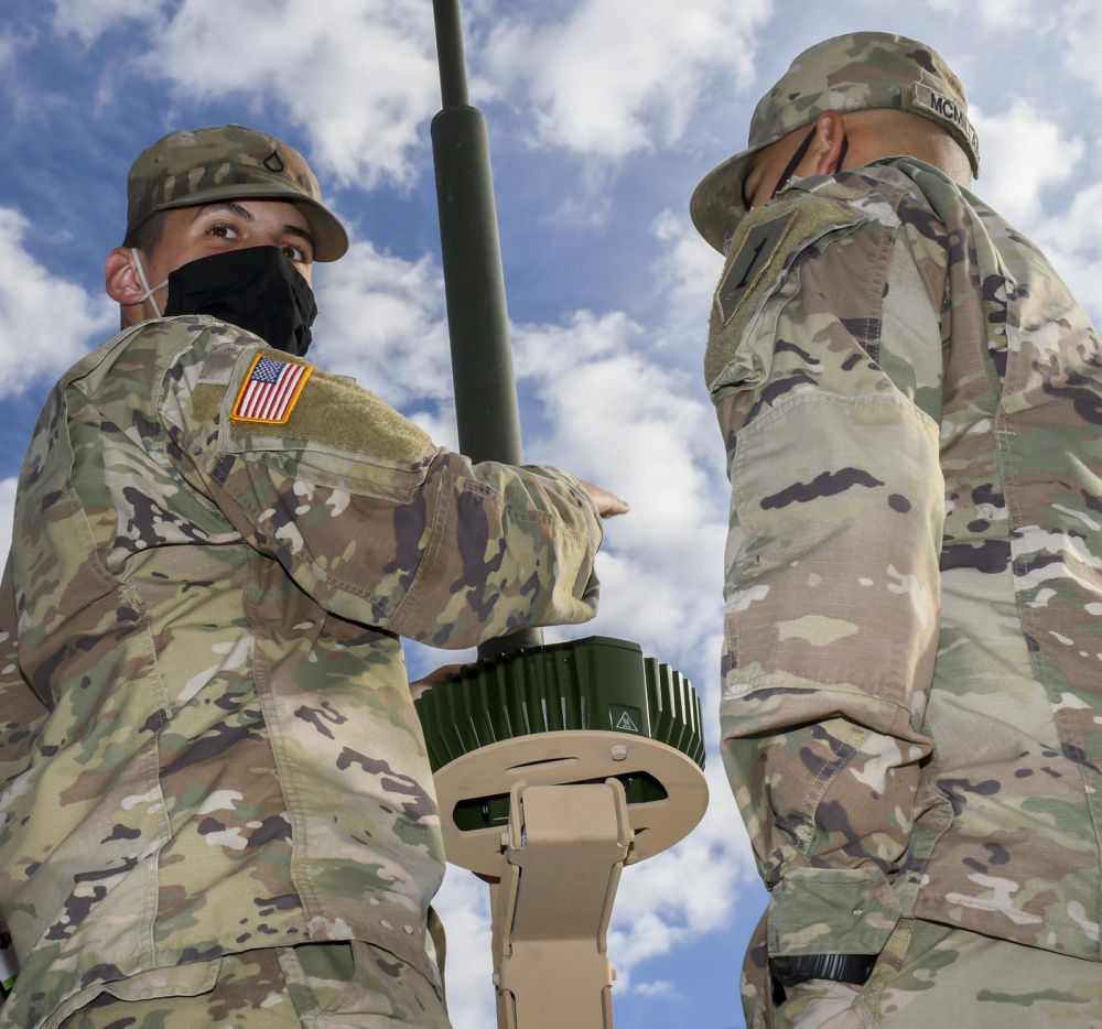
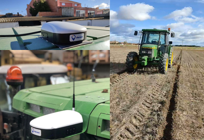
    Surveyors are content with measuring much smaller portions of Earth’s surface, from single lots to national boundaries. Unlike Eratosthenes, they work with the latest fruit of modern science and technology — including GNSS receivers, robotic total stations, inertial measurement units, lidar, other sensors and unmanned aerial vehicles — and can measure distances with millimeter precision.

    When I started in this business a little more than 20 years ago, we used to group GPS receivers by accuracy into three buckets: consumer grade, resource/mapping grade and survey grade. As accuracy has increased for all GNSS receivers, the boundaries between those categories, especially between mapping and surveying, have blurred. Additionally, we now have way more GNSS satellites — in some parts of the world, as many as 70 are in view at one time — and a panoply of public and private, ground-based and satellite-based corrections services.

    So, surveyors have a growing set of tools, and they are constantly getting more accurate and more user-friendly.

    Now, let me throw another number in the mix: 66. That is the average age of surveyors in the United States. In the short run, employment for surveyors hinges in part on the vagaries of the economy. In the long run, however, population growth and climate change will force large investments in infrastructure. On most construction sites, the first to arrive and the last to leave are the surveyors. We know what their tools are, but who will they be?

  • Keeping up with jamming, spoofing threats

    Keeping up with jamming, spoofing threats

    Hexagon | NovAtel's GAJT-710ML installed on a U.S. Army vehicle. Photo: U.S. Army Futures Command
    Hexagon | NovAtel’s GAJT-710ML installed on a U.S. Army vehicle. Photo: U.S. Army Futures Command

    We asked Dean Kemp, Ph.D., director of Marketing, Aerospace and Defense for Hexagon’s Autonomy & Positioning division, a few questions.

    How do jamming and spoofing threats change?

    Jamming and spoofing methods change as new interference-causing technologies become available. As such, it’s vital for us to continuously evaluate potential sources of threats and provide the highest possible level of resiliency to interference in our solutions.

    Have new threats emerged in the past six weeks in connection with Russia’s invasion of Ukraine?

    Evidence is emerging that electronic-warfare systems capable of high-power jamming and spoofing across wide areas are being used within Ukraine. Fortunately, there have been no known impacts on allied forces. However, knowing that the technology is in place and in use highlights the importance of assured positioning, navigation and timing (APNT) and our contribution to building resiliency in allied forces’ equipment against the potentially destabilizing effects of jamming and spoofing.

    How do you define APNT?

    We use APNT to describe measurements that are always accurate, available and reliable. Our anti-jamming, anti-spoofing and other resilience-building capabilities provide trusted and available PNT information at the level of accuracy requested.

    When did you introduce GPS Anti-Jam Technology (GAJT)? How do you define it?

    GAJT was introduced in 2011 and is our leading APNT solution. GAJT units are utilized worldwide across land, sea and air, with rapid deployment supported by commercial off-the-shelf solutions and short lead times. GAJT provides jamming protection of satellite-based navigation and precise timing receivers from intentional jamming and unintentional interference whatever your application. Product variants provide features to best support anti-jamming capabilities for the warfighter, national infrastructure, low-SWaP platforms and other mission-critical applications.

    What are the key differences between the GAJT-710ML, the GAJT-710MS and the GAJT-410MS?

    The GAJT-710 is designed for land vehicles (ML variant) and marine vessel platforms (MS variant) with up to six simultaneous nulls to protect against jamming signals and interference. The next generation of GAJT-710 includes jammer direction-finding and a silent mode to reduce its thermal signature. The GAJT-410 maintains the high levels of interference-rejection performance in the 710 but in a lower size, weight and power (SWaP) design, with three simultaneous nulls, for both land and marine variants. It also utilizes a single RF cable to provide clean power, data and protected GPS signal. The GAJT-410 enables APNT while also reducing the need for platform modifications or armor penetration.

    The GAJT-AE extends jamming and interference protection to unmanned and autonomous applications. Using an external CRPA antenna, the GAJT-AE offers flexibility of integration into space-constrained platforms.

    Is the GAJT-AE-N Anti-Jam Antenna receiver-agnostic?

    We designed our GAJT product line to be receiver-agnostic and compatible with legacy and modern GNSS receivers. This flexibility results in GAJT being ideal for civil and military applications, including SAASM and M-code systems.

    How does your GNSS Resilience and Integrity Technology (GRIT, launched in 2020 November) relate to your GAJT antennas?

    GRIT is a firmware suite for our OEM7 receivers that expands their situational awareness and interference mitigation tools. GRIT includes our Interference Toolkit (ITK) along with spoofing detection to identify when your GNSS signal may be under threat. It also empowers the user to develop interference location algorithms through time-tagged snapshots of data samples to characterize the RF environment around your operations. GRIT, alongside GAJT, forms the foundation of our APNT strategy in providing accurate and always-available PNT.

    Do you have any recent contracts with the U.S. Department of Defense or the militaries of other NATO countries to supply GAJT antennas?

    Our GAJT product portfolio has been sold in large quantities to military and civil organizations for many years, successfully proving itself in the field. In 2020, we achieved a milestone of more than several thousand units shipped worldwide, making it one of Hexagon | NovAtel’s more successful years.

  • Smart antenna rides steady on uneven ground

    Smart antenna rides steady on uneven ground

    Photo: Harxon
    Photo: Harxon

    Today, many field operations — sowing, tilling, planting, cultivating, weeding and harvesting — rely on satellite-based autonomous guidance technology for agricultural machines. Yet farmers are still challenged by poor signal tracking, signal interference, communication instability and heading inaccuracy in tough environments, such as on uneven ground or slopes or under dense tree canopy. Because of insufficiently advanced navigation technology, ordinary machines fail to achieve the high efficiency expected and might even cause safety hazards. Therefore, the market has been awaiting a high-performance smart antenna with centimeter-level accuracy.

    Harxon’s Smart Antenna TS112 PRO provides scalable and reliable positioning solutions for tough agricultural environments, such as uneven ground or fields with underground cables, as well as complicated weather conditions, including rain, fog and dust clouds.

    The TS112 PRO integrates in one compact enclosure Harxon’s four-in-one GNSS/4G/Bluetooth/Wi-Fi antenna and a Hexagon | NovAtel OEM GNSS module. The multi-constellation GNSS antenna is designed with Harxon X-Survey technology and features multi-point feeding with high gain and wide beam width, which ensures high phase-center stability for ultimate RTK centimeter-level positioning accuracy. This is realized by subscribing to the Ntrip service via the LTE network to receive corrections or by setting up a local base station to broadcast corrections by radio.

    The Hexagon | NovAtel OEM GNSS module is default-enabled for RTK, offering precise positioning and advanced interference mitigation for space-constrained applications and challenging environments. Additionally, users can achieve globally available centimeter-level positioning accuracy by using TerraStar satellite-delivered L-band correction services, with no need to set up an expensive network infrastructure.

    TS112 PRO guarantees pass-to-pass accuracy down to 20 centimeters, where relative positioning is critical. It can also provide smoother steering and straighter rows by reducing positioning jumps that might occur during RTK signal outages or when a smart antenna changes positioning modes. Its terrain compensation algorithm is capable of correcting deviations caused by a vehicle’s roll and pitch while working on uneven ground or slopes.

  • University of Nottingham GNSS project to boost precision agriculture in Brazil

    Photo: University of Nottingham
    Photo: University of Nottingham

    The University of Nottingham is working with Brazilian and European Union (EU) partners to solve atmospheric interference problems that hamper satellite-based positioning in equatorial countries like Brazil.

    The research network will support the advancement of precision agriculture, which aims to make crop farming practices cheaper, greener and more efficient using satellite positioning and remote sensing.

    These technologies rely on GNSS (such as GPS and Galileo) to obtain centimeter-accurate coordinates on Earth. Farmers then use this real-time precise data to optimize fertilizer use, to steer driverless machinery and for soil mapping to maximize crop production in a bid to feed a rising world population.

    Despite its revolutionary potential, precision agriculture adoption rates in countries on equatorial regions such as Brazil are hindered by ionospheric scintillation in the Earth’s upper atmosphere.

    Ionospheric scintillation affects the integrity, availability and accuracy of satellite positioning. Specifically, it causes interference with the propagation of satellite signals as they pass through the ionosphere, making it difficult for GNSS receivers to lock onto satellites and track their signals. This results in not only large errors but sometimes to service outages.

    “The strong signal fluctuations that characterize ionospheric scintillation are caused by the irregular behavior of the ionosphere that is typical of the equatorial latitudes, affecting most of the Brazilian territory, hence the importance of the bilateral collaboration in the PEARL network,” said project leader Marcio Aquino from the Nottingham Geospatial Institute at the University.

    The PEARL network, which is funded by the European Commission’s INCOBRA project, aims to tackle this problem head on to ensure high-accuracy positioning by satellite is robust and achievable in real time in Brazil.

    “Solutions arising from the research will have a positive impact not only in Brazil but in the whole of Latin America, due to its geographical location near the equator and corresponding disruptive ionospheric effects,” Aquino said. “It could play a pivotal role in promoting the uptake of satellite-based positioning and the broad acceptance of the new EU system Galileo, paving the way for service implementation in other similarly affected parts of the world, such as southern China, India, Indonesia and Malaysia.”

    Research and industrial partners from both Europe and Brazil will come together on the seven-month initiative to develop strategies to map the causes of ionospheric scintillation and specialized algorithms to model and mitigate their effects on satellite-based positioning.

    These strategies will be part of a large Brazil-EU collaborative proposal to be submitted to the forthcoming H2020 SPACE-EGNSS call due out in October 2018.

    Network members include small to medium enterprises in Europe and Brazil that are keen to incorporate new solutions that will improve their satellite-based services.

    The PEARL network encompasses:

    1. University of Nottingham, UK; Sao Paulo State University and Universidade do Estado de Mato Grosso, Brazil.
    2. National Institute of Geophysics and Volcanology and SpacEarth Technology (an SME), Italy.
    3. Space Research Centre of Polish Academy of Sciences, Poland.
    4. Three small and medium-sized enterprises (SMEs): Geo++, Germany, and Alezi Teodolini and MC Engenharia Ltd, Brazil.

    The European Commission funds the INCOBRA project to increase and enhance Research and Innovation cooperation activities between Brazil and the European Union. PEARL is one of INCOBRA’s bilateral R&I cooperation networks, led by the University of Nottingham, addressing one of INCOBRA’s priority areas, namely bio-economy, food security and sustainable agriculture.

    According to the latest issue of the GSA GNSS market report (issue 5, 2017), revenue for GNSS device sales in precision agriculture will grow to nearly €3 billion by 2025, quadrupling from €750 million in 2013 (based on GNSS receiver sales to just this market segment).