Tag: technology demonstration

  • ArkEdge builds micro-satellite constellation for maritime real-time tracking

    ArkEdge builds micro-satellite constellation for maritime real-time tracking

    ArkEdge Space successfully launched its micro-satellite AE1a on March 30, and has begun initial checkout following the establishment of communications through test radio signals.

    AE1a is a technology demonstration satellite developed to advance maritime digitalization by enabling wide-area, real-time vessel tracking and communications. The satellite adopts ArkEdge Space’s standardized 6U satellite bus in its large-antenna configuration. In addition to demonstrating a deployable antenna for VDES (VHF Data Exchange System) applications, AE1a will improve and validate core technologies for a VDES receiver.

    AE1a will operate in coordination with AE1d, which began operations in January 2025, and AE3Va, which began operations in June 2025, forming a three-satellite constellation for demonstration across wide-area maritime areas.

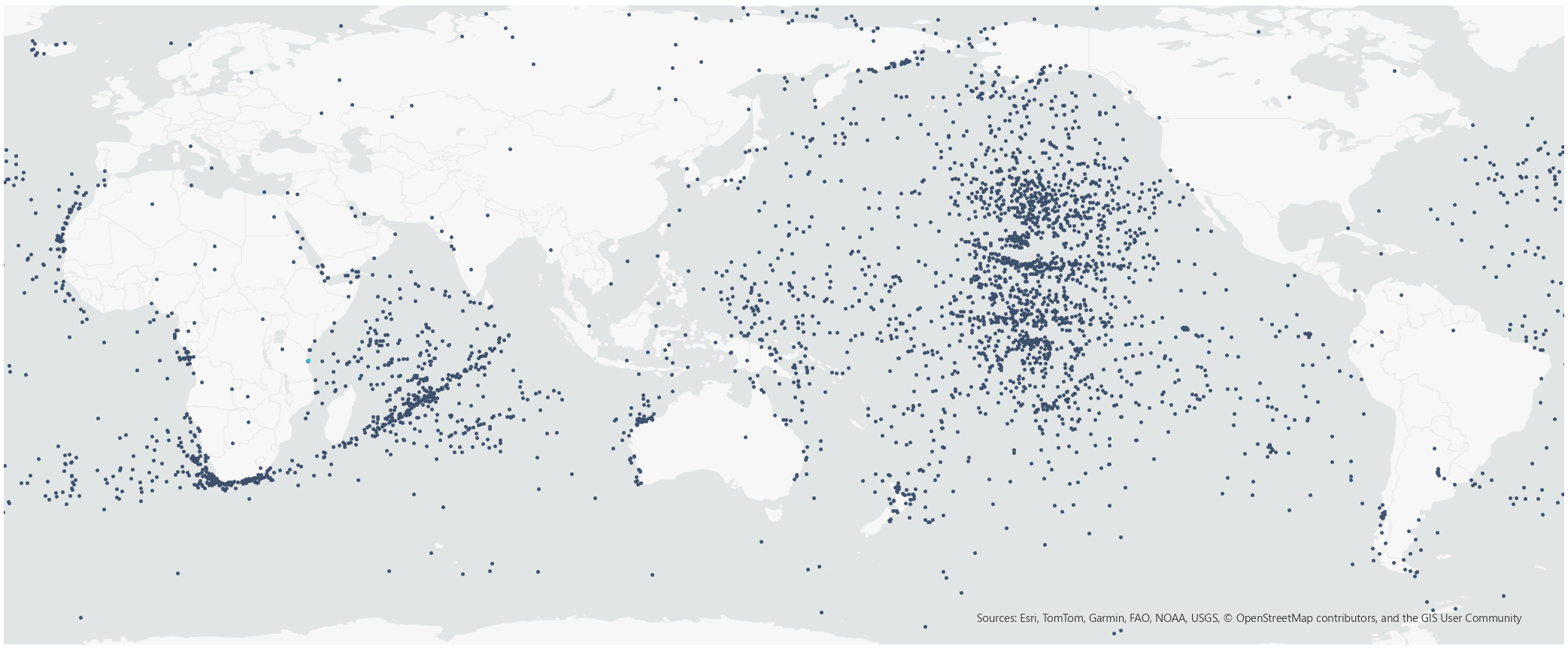
    AE3Va continues to acquire AIS signals across multiple sea areas, including waters around Japan and vessel-congested areas along critical shipping lanes. Accumulated reception data is being systematically verified and analyzed.

    Going forward, the program will advance from reception-focused demonstration to two-way communications, including transmission from orbit. This will enable satellites to deliver operational information directly to vessels, expanding the scope of VDES demonstration and advancing progress toward concrete use-case validation across the maritime sector.

  • ESA seeks ideas to augment satnav with imaging sensors, 3D maps

    ESA seeks ideas to augment satnav with imaging sensors, 3D maps

    NAVISP includes projects for autonomous and connected driving. (Image: ESA/F. Bagiana)
    NAVISP includes projects for autonomous and connected driving. (Image: ESA/F. Bagiana)

    The European Space Agency (ESA) is issuing a call for ideas to overcome GNSS service gaps in urban canyons by using imaging and 3D mapping technology. A workshop to discuss the call for ideas will be held virtually on July 6.

    According to ESA, the growing availability of high-quality image sensors and high-fidelity 3D maps — such as those within smartphone mapping apps — offer a promising way to shrink the performance gap caused by urban canyons and multipath for future mobility applications in terms of ubiquity, reliability and resilience.

    NAVISP — ESA’s Navigation Innovation and Support Programme — specifically is seeking prospects for technology demonstrations of mobility tech to support applications such as  road, maritime transport and drones. The tech would provide assisted satnav by harnessing image sensors and 3D urban models. The proof-of-concept demonstration projects or national testbeds would facilitate introduction of this technology into commercial products.

    Use cases include private or public autonomous transportation in cities, including cars, trams, scooters, bikes, urban ferries, harbors, narrow waterway navigation and future passenger drones.

    Reflected satellite navigation signals (multipath) can degrade positioning performance, especially in urban canyons with numerous artificial surfaces. (Image: EUSPA)
    Reflected satellite navigation signals (multipath) can degrade positioning performance, especially in urban canyons with numerous artificial surfaces. (Image: EUSPA)

    The NAVISP project, called a “thematic window,” is titled “Assisted GNSS with Imaging Sensors and 3-D models for Mobility Applications.” The thematic window opened on June 10 and will close on Oct. 31. During its duration, ESA is offering dedicated support to companies interested in participating in the projects and submitting outline proposals.

    On July 6, the agency is hosting an online workshop with stakeholders to raise awareness about the initiative and clarify any issues interested companies may have. ESA will present the requirements of the Thematic Window and the application process. The workshop will include presentations from high-level experts covering market perspectives, techniques involved in the use of 3D models and imaging sensors, the state of the art of these technologies and latest advances in visual navigation and artificial intelligence applied to mobility applications.

    To register for the July 6 workshop, click here. The workshop agenda is available here.