One GNSS receiver widely used in autonomous ground vehicles is Hexagon | NovAtel’s SMART7 antenna. Matteo Luccio, GPS World’s editor-in-chief, discussed the product and its applications with Haley Lawrance, Senior Positioning Product Manager, Agriculture for Hexagon | NovAtel.
Luccio: “How do you differentiate your SMART antennas from your other GNSS receivers?”
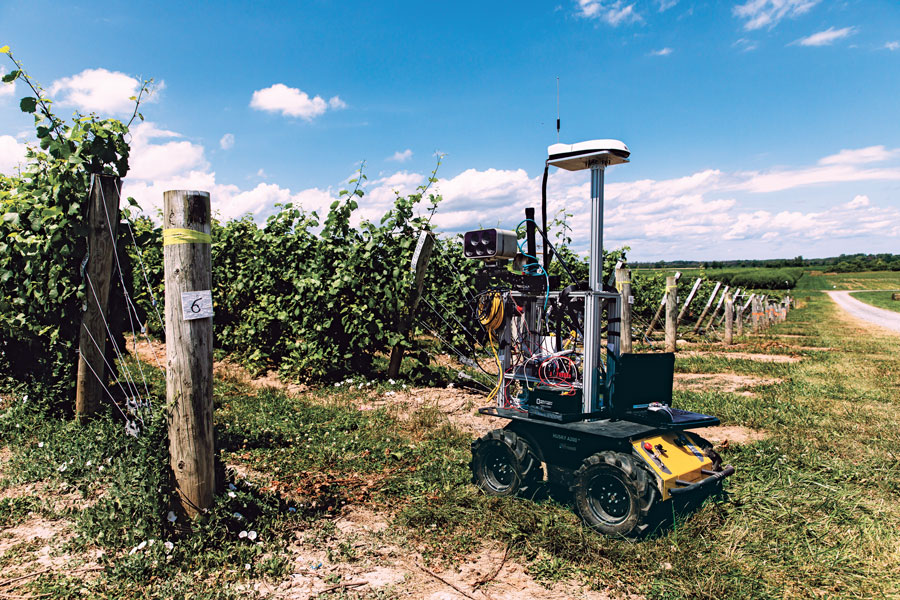
Lawrance: “The reason why the SMART antenna portfolio has been so attractive within the agriculture market and to our autonomy customers specifically, has been the ease of integration and the high performance it provides. GNSS positioning is just one part of an autonomous system, and the autonomous integrators don’t necessarily have the volume of machines out of the gate that would justify the development time for them to integrate the OEM components.
With NovAtel’s SMART antennas, they only need to consider the single cable harness that will run power and communications to and from the receiver – and a single mount point on the vehicle. The SMART antennas offer a waterproof and rugged enclosure, designed to withstand the demanding environments typical for agriculture – and help accelerate our customers’ time to market.”
Luccio: “Is there some standard, as there is for cars, that enables developers of autonomous systems to easily plug your system into theirs?”
Lawrance: “We support a variety of communication protocols – serial, CAN, Ethernet, and Wi-Fi. For autonomy, Ethernet tends to be the most common option for communication with the GNSS receiver – especially when using features that require more bandwidth, such as our SPAN GNSS+INS sensor fusion solution that leverages an inertial measurement unit.
NovAtel’s_OEM7_driver, built for the Robot Operating System (ROS), is a great option because it makes it even quicker for them to integrate and allows the receiver to essentially plug-and-play into the ROS environment with minimal development. For CAN, we support both J1939 Transport and Extended Transport Protocol and NMEA 2000 if they would like to communicate onto an existing bus they are using on the vehicle.”
Luccio: “What about the ease of integration on the software side?”
Lawrance: “We have a very large library of proprietary NovAtel-formatted logs that are available in binary and ASCII, which provide flexibility and allow customers to customize a unique set of logs that provide the data they are interested in. This could be anything from information on which satellites are being used in the solution, to the roll and pitch of the vehicle, or status information from the receiver. NovAtel receivers also output in standard formats, such as NMEA 2000 and NMEA 0183, that consolidate the data that they are most likely to need, such as position, velocity, and quality indicators.”
Luccio: “What markets do your SMART antennas target?”
Lawrance: “Broadly speaking, the SMART antenna product line was designed specifically for agriculture use cases and environments. Customers include agriculture OEMs, aftermarket integrators that develop retrofit precision ag solutions, and autonomous solution providers.
Within that product line, we have SMART7 and SMART2, with different performance options that allows us to scale the best product solution for each application. For high-performance semi-autonomous or autonomous applications that need centimetre-level accuracy – even in highly variable terrain and challenging GNSS-obstructed environments, SMART7 is the best fit – together with SPAN GNSS+INS and TerraStar-C PRO Correction Services or RTK.
For additional positioning redundancy on an autonomous vehicle, SMART2 can be used together with SMART7 – meaning there are two different, independent GNSS hardware, software, and positioning solutions running in parallel. This allows autonomous machinery manufacturers to utilize both positioning solutions in parallel for an additional layer of protection.”
