Tag: tree canopy

  • Ultra-wideband brings signals indoors

    Ultra-wideband brings signals indoors

    Other sources, such as lidar, can be used to aid navigation in the absence of GNSS signals. (Photo: OxTS)
    Other sources, such as lidar, can be used to aid navigation in the absence of GNSS signals. (Photo: OxTS)

    We discussed complementary PNT with Peter Rylands, senior product manager at OxTS.

    What are some of the most promising approaches to complementary PNT and how does simulation technology help?

    There are two approaches of particular interest. The first is looking at LEO satellite systems that can provide supplementary and potentially more secure methods of navigation, with global coverage from a single system. But these will still suffer from some of the issues GNSS systems experience, namely, what happens when you can’t obtain a signal?

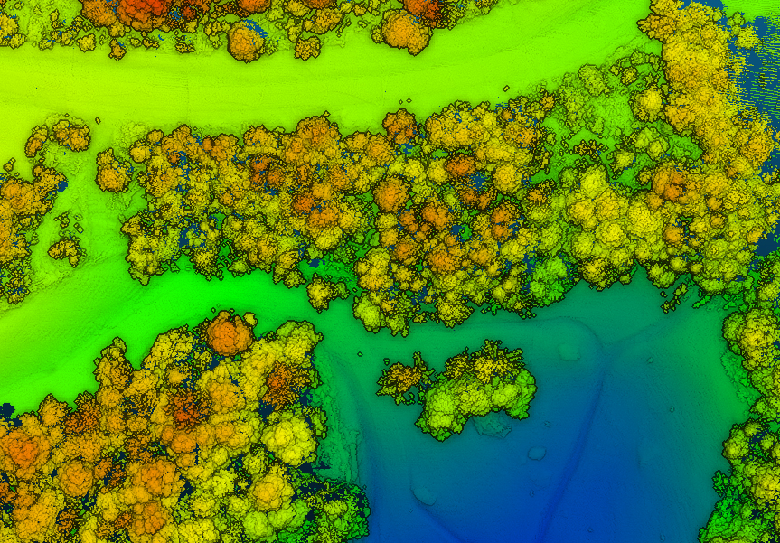
    The second is the use of visual aiding through sensor fusion, such as lidar and cameras, that can provide relative positioning (or absolute positioning once you have a space mapped) using SLAM algorithms. While this may increase onboard hardware dependencies, it creates a localized navigation system that can be better protected from malicious actors.

    In contrast, closed-loop systems can look to an infrastructure-based system, allowing free movement within the specific area in which the infrastructure is located and a potentially more reliable source of PNT, especially indoors, where GNSS is not available. Ultra-wideband is definitely the up-and-coming technology here, but systems using Wi-Fi, cameras, Bluetooth and others also are being used.

    Simulation, as within many domains, allows users to test on a large scale with fewer barriers to entry than real-world testing and an ease in making iterative changes to find an optimal solution. Whether that is to benchmark performance in locations of interest or to change configuration settings to improve visibility or positioning, simulation allows you to do this without the expense of going straight into the environment itself or configuring the actual vehicle under test.

    How does OxTS fit in that mix?

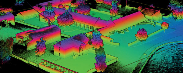
    OxTS provides customers with the ability to navigate anywhere; whether for reference data in R&D, georeferencing for survey and mapping, or active navigation of autonomous solutions. To do this we provide an IMU-first offering that we then complement with other technologies. Traditionally, this is with GNSS, to form an INS that can provide centimeter-level accuracy. However, we are also aware of the vulnerabilities of GNSS. For us, this is when it becomes an unreliable source of PNT in denied areas, such as indoors, in urban canyons or under tree canopies.

    Because of this, we are also investigating and developing complementary solutions that can enhance our offering for users who need confidence in their position even when GNSS is not available. Whether that is through sensor fusion, our Pozyx UWB solution for indoor navigation or other proprietary software and firmware capabilities.

    What kinds of complementary PNT are most useful in addressing specifically the challenges posed by jamming and spoofing and how does simulation help?

    We need to look at systems that cannot be impacted by, or have mitigations from, the impact of jamming and spoofing. Solutions that are independent of radio communications or satellite use are then valuable in providing this layer of protection. This is where we could look toward OxTS’s use of IMU technology and visual aiding systems. Simulation technologies would then allow you to run hardware-in-the-loop testing, where the primary GNSS solution can have simulated jamming and spoofing to understand the performance of your complementary and protected systems when GNSS cannot be trusted.

  • Kaarta and EXI join to address UXO mapping in GNSS-denied environments

    A technician scans for UXO on steep terrain in a wooded GPS-denied area. (Photo: Kaarta)
    A technician scans for UXO on steep terrain in a wooded GPS-denied area. (Photo: Kaarta)

    Kaarta and Exploration Instruments have announced a collaboration and distribution agreement to address the needs of the unexploded ordnance (UXO) and geophysical industries.

    Kaarta provides real-time mobile 3D reality capture, and Exploration Instruments LLC (EXI) has expertise in near-surface geophysical equipment and applications.

    EXI now offers rental, sales, and training for Kaarta’s SLAM-based mobile mapping systems and the integration with geophysical equipment such as digital geophysical mapping (DGM) and advanced geophysical classification (AGC) sensors.

    Contamination and munitions from former combat areas or military training grounds is a global hazard. In the U.S. alone, more than 5,400 sites covering millions of acres have been identified for investigation and environmental restoration according to the U.S. Army Corps of Engineers.

    The general remediation approach pinpoints buried ordnance location using electromagnetic and magnetic detection systems with GNSS positioning technology. While these systems perform well in open areas, other common environments such as steep terrain and wooded areas under tree canopy are challenging to find and remediate UXO.

    The most common method for achieving required positional accuracy for DGM or AGC in wooded terrain is the use of robotic total stations (RTS) to tie surveyed locations to detection systems. However, RTS line-of-sight requirements make mapping and classification difficult and time-consuming, resulting in slower production rates and increased effort as data-collection teams must revisit common data gaps in the RTS coverage to achieve 100% coverage of the mappable areas.

    Kaarta’s simultaneous location and mapping (SLAM) solution provides accurate global positions within several centimeters in these demanding environments. Kaarta Stencil 2-16 mobile mapping system combines lidar, an inertial measurement unit (IMU) and visual odometry measurements to build a 3D map of the environment while updating global position data in real-time when moving through the map, without the need for external signals such as GNSS.

    The U.S. Army Corps of Engineers tested Kaarta’s Stencil 2-16 to provide rapid positioning data in GNSS-denied areas and found it provides positional data with the required accuracy for DGM and AGC at military munitions response sites.

    Kaarta systems are successfully integrated and used with a range of geophysical equipment including Geometrics MetalMapper 2×2, Geonics EM-61, and White River Technology’s APEX systems. EXI ties it together by providing geophysical expertise, training and access to the latest equipment through both rental and sales. Stencil 2-16 integration with other sensors is easy using customizable GNSS NMEA strings and supports a wide range of RS-232, USB and Ethernet interfaces.

    “It’s exciting when a combination of technologies come together to address such a significant problem as locating UXO in the most challenging of environments,” said Dave Duggins, UXO applications specialist at Kaarta. “We’ve been out in the woods with customers and are thrilled with the results we’ve achieved which include increased production rates with fewer personnel. Partnering with EXI to bring this solution to market is a perfect match.”

    “There are hundreds of thousands of wooded acres that still need to be remediated,” said Dennis Mills, EXI’s President, “Providing geophysicists with a proven integrated solution that significantly improves productivity over current methods is a win all around.”

    Kaarta systems can also be integrated with other sensors that use GNSS for positioning – ground penetrating radar, magnetometers, terrain conductivity meters — for a wide range of applications where positioning is needed in GNSS-denied areas. Kaarta was recently issued a patent covering its novel approach to fuse data captured by SLAM systems with data from other sensors to measure and localize sensed data in the scanned environment.

    EXI will be the primary provider of Stencil 2 rentals, sales, and training to the UXO and geophysical industry.

  • 3 keys to successful canopy penetration

    3 keys to successful canopy penetration

    Sunlight through a tree canopy. (Photo: RedTail)
    Sunlight through a tree canopy. (Photo: RedTail)

    RedTail Lidar System’s RTL-400 delivers the trifecta

    Summer is here, and with it comes the challenge of creating accurate topographic maps under tree canopies. The adoption of drone-based, 3D light detection and ranging — or lidar — is emerging as the go-to sensing technique to meet this challenge consistently, safely and cost effectively.

    Designed specifically for use on small drones, the RTL-400 from RedTail Lidar Systems was developed with technology licensed from the U.S. Army Research Laboratory (ARL). The RTL-400 is designed to provide high-resolution 3D images of objects on the ground, flying at an altitude of up to 400 feet.

    The RedTail team recently partnered with the West Virginia Department of Environmental Protection (WVDEP) Division of Mining and Reclamation to demonstrate the RTL-400’s ability to generate an accurate digital terrain model (DTM) under “leaf on” conditions. This can be challenging, because pulsed laser light needs to reach the ground to generate laser light ground returns.

    RTL-400 flight specifications: speed -18 mph, flight time -12 minutes, acreage -20. (Image: RedTail)
    RTL-400 flight specifications: speed -18 mph, flight time -12 minutes, acreage -20. (Image: RedTail)

    One mission of the WVDEP Division of Mining and Reclamation is to assure compliance with the West Virginia Surface Mining and Reclamation Act and other applicable state laws. This task requires ongoing monitoring, mapping and assessment of sites across the state that are actively being reclaimed.

    Originally utilizing photogrammetry to generate point clouds, the WVDEP was unable to create the accurate, under-canopy DTMs that they desired. Looking for an alternate method, they began to consider lidar.

    The RedTail lidar team met with WVDEP representatives at a mine reclamation site in a remote area of south-central West Virginia. The terrain was a mixture of rolling hillside covered with grasses, brush and tree stands.

    The RTL-400 demonstration flight mapped approximately 20 acres of the reclamation site in 12 minutes, flying at an altitude of 196 feet and a speed of 18 mph.

    Once the data was collected, a digital terrain model (DTM) was created, revealing the RTL-400’s ability to generate the high-resolution, high-density point cloud needed to accurately map the terrain beneath the tree. 

    Digital terrain model (DTM) generated from RTL-400 point cloud. (Image: RedTail)
    Digital terrain model (DTM) generated from RTL-400 point cloud. (Image: RedTail)

    The RTL-400 delivered all three key elements needed to provide DTMs in foliated areas:

    • a small beam divergence of 0.5 milliradians (.03 degrees) with a spot size of just 2 inches diameter at the canopy cover
    • the ability to analyze up to five returns from every transmitted pulse so that returns from the ground can be received and processed
    • a pulse density of 800 pulses in every square meter of the canopy (for the WVDEP flight).  
    RTL-400 generated digital terrain model (DTM) overlaid with contour map. (Image: RedTail)
    RTL-400 generated digital terrain model (DTM) overlaid with contour map. (Image: RedTail)

    RedTail Lidar Systems is a division of 4D Tech Solutions Inc., a company focused on providing innovative technology-based solutions to address government and commercial customer needs. RedTail’s in-house technical expertise — coupled with a full suite of software and hardware design and manufacturing tools — allows the company to develop custom lidar solutions for manned and unmanned vehicle applications.