Tag: video

  • ESA celebrates 30 years of Galileo

    ESA celebrates 30 years of Galileo

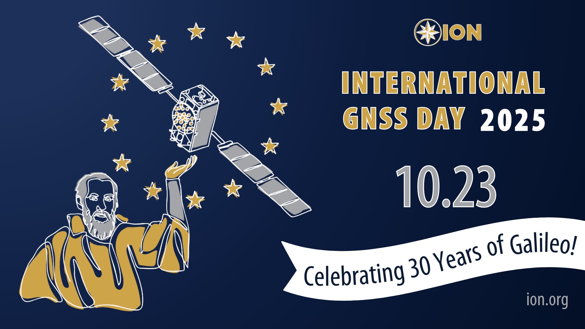
    To celebrate 30 years of the Galileo global navigation system, the European Space Agency created the following video. Astronomer Galileo Galilei makes an appearance.

    “Three decades of challenges and triumphs that have shaped the navigation systems we rely on today: EGNOS and Galileo, and that serve as a legacy to building the satellite navigation systems of tomorrow,” states ESA.

     In October 1995, the ESA Council at Ministerial Level approved ARTES Element 9, initiating the studies and development of GNSS-1 (EGNOS) and GNSS-2 (Galileo). However, the first steps leading to this moment started as early as the 1980s, with pioneering research and studies conducted by ESA, national space agencies and European institutes.

    Learn more about the history of Galileo.

  • Redefining high-precision GNSS – meet Accutenna 4

    Redefining high-precision GNSS – meet Accutenna 4

    The Accutenna 4 features:

    • Low-profile 4-feed composite patch
    • Full GNSS + L-Band coverage
    • Superior interference mitigation (XF)
    • Housed and embedded models available
    • Lightweight, rugged industrial design

    Click here to learn more.

  • Waypoint post-processing software

    Waypoint post-processing software

    Waypoint software is an industry-leading, professional post-processing portfolio trusted by the companies building maps for the world. Waypoint software leverages Global Navigation Satellite Systems (GNSS) and inertial navigation systems (INS) data to generate a source of truth for post-mission trajectories and mapping. 

    Built on Hexagon | NovAtel’s decades-long legacy in post-processing algorithm development, Waypoint software refines GNSS-only or GNSS+INS data by processing forward and reverse in time, then combining and smoothing the results to maximise accuracy and signal availability for applications across land, air and sea. 

    Click here to learn more.  

  • Huge anti-jam protection in a tiny package

    Huge anti-jam protection in a tiny package

    [SPONSORED CONTENT] The newest member of the proven GAJT team means you can protect all your platforms from jamming. Light and small, it’s the best protection per gram you can get. You can even get it as an integrated enclosure (one piece) or a federated solution (separated anti-jam electronics and CRPA), so it is ideal for small platforms, such as UAVs.

    Learn more.

    This video is sponsored content by NovAtel.

  • NovAtel Application Suite: Get the most out of your receivers

    NovAtel Application Suite: Get the most out of your receivers

    [SPONSORED CONTENT] With the NovAtel Application Suite, you can monitor the status of all your receivers during operations, including GNSS satellite tracking, positioning and even interference detection – all in one integrated software suite.

    Whether you are integrating our GNSS receivers with your system, undertaking post-operation analysis, or monitoring real-time output from your receivers, the NovAtel Application Suite lets you make the most of our industry-leading technology.

    Learn more.

    This video is sponsored content by Novatel.

  • United States Congress wakes up to DePIN – GEODNET testimony

    United States Congress wakes up to DePIN – GEODNET testimony

    [SPONSORED CONTENT] On April 10, 2025, Mike Horton, project creator of GEODNET, testified before the U.S. Congress on behalf of both GEODNET and the broader DePIN (Decentralized Physical Infrastructure Networks) ecosystem. The testimony showcased how blockchain-powered DePINs are already delivering scalable, cost-effective infrastructure across essential sectors such as internet connectivity, precision navigation, and renewable energy.

    This milestone reflects growing recognition from U.S. policymakers and affirms the real-world value and momentum behind decentralized technologies. A proud moment—and a powerful motivator for everyone working to build the future of infrastructure.

    Learn more.

    This video is sponsored content by GEODNET.

  • See How Drones Are Transforming Surveying

    See How Drones Are Transforming Surveying

    [SPONSORED CONTENT] Frontier Precision Unmanned is revolutionizing geospatial surveying by integrating advanced drone technology into various industries such as mining, construction, and agriculture. Their innovative unmanned aerial systems (UAS) enable professionals to conduct high-precision aerial surveys efficiently and safely. By offering industry-leading products and software from manufacturers like DJI Enterprise, Quantum-Systems, and YellowScan, Frontier Precision Unmanned ensures that clients receive tailored solutions for their specific applications. These applications encompass geospatial surveying, mapping, infrastructure inspection, and environmental monitoring.

    In their promotional video, Frontier Precision Unmanned showcases the transformative impact of drone technology on traditional surveying methods. The video highlights how drones facilitate rapid data collection, producing deliverables such as point clouds, digital surface models, and orthomosaic imagery. These advancements not only enhance accuracy but also significantly reduce the time and costs associated with conventional surveying techniques. Frontier Precision Unmanned’s commitment to providing cutting-edge UAS solutions empowers surveyors and GIS professionals to embrace modern technology, ensuring projects are completed with greater precision and efficiency.

    Learn more.

    This video is sponsored content by Frontier Precision Unmanned.

  • Ensuring Accuracy: How CAST Navigation Minimizes GNSS/INS Simulation Errors

    Ensuring Accuracy: How CAST Navigation Minimizes GNSS/INS Simulation Errors

    [SPONSORED CONTENT] Ensure accurate navigation by avoiding errors in simulated GNSS and INS output. Discover how CAST Navigation’s advanced configurability and synchronization deliver reliable, high-fidelity simulations for precise performance in diverse scenarios.

    Learn more.

  • JNC 2024: oneNav

    JNC 2024: oneNav

    Paul McBurney, co-founder and CTO of oneNav, met with Matteo Luccio, GPS World editor-in-chief, to discuss the benefits oneNav’s L5-direct GNSS technology has for alternative navigation in military applications.

    Discover more about oneNav’s L5-direct GNSS technology.

  • JNC 2024: Septentrio

    JNC 2024: Septentrio

    Jan Van Hees, vice president of business development and product management at Septentrio, talks about the Joint Navigation Conference (JNC) 2024 and Septentrio’s jamming and spoofing solutions.

  • JNC 2024: Safran Federal Systems

    JNC 2024: Safran Federal Systems

    At Joint Navigation Conference (JNC) 2024, GPS World Editor-in-Chief, Matteo Luccio, met with Jon Leombrone, executive vice president of navigation systems at Safran Federal Systems to discuss Safran’s latest assured positioning, navigation and timing (A-PNT) and simulator technology.

    Read more about the BroadSim Duo, Safran’s latest navigation warfare simulator.

    Check out the latest news from Safran Federal Systems.

  • JNC 2024: BAE Systems

    JNC 2024: BAE Systems

    At ION Joint Navigation Conference (JNC) 2024, Justin Wymore, weapons PNT customer requirements manager at BAE Systems talked with Matteo Luccio, GPS World editor-in-chief, about BAE Systems’ new NavStorm-M. NavStorm-M is designed for military applications and is the latest addition to the BAE Systems M-Code receiver product line.

    Read more about NavStorm-M.

    Catch up on the latest news from BAE Systems.