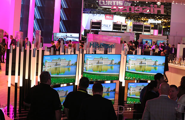
This year’s CTIA Super Mobility show, held Sept. 7-9 in Las Vegas, Nevada, shone the spotlight most brightly on 5G and the Internet of Things (IoT). The killer app use case for 5G is IoT and, symbiotically, IoT cannot be fully realized without the higher capacity of 5G.
IoT is the world of interconnected devices and includes smart cities, connected vehicles, smart homes, wearables, enterprise and healthcare solutions. The magnitude of growth forecast in connected devices is staggering; 23 billion in 2020 and increasing to 75 billion five years later, and will dwarf the number of smartphones, say analysts at Frost & Sullivan.
“Keep America Great Again” could have been the title of many talks with the patriotic rallying call to keep the United States at the forefront of wireless innovation. The U.S. has more than 99 percent of the population covered by LTE, more than any other country. We rule on apps, too, with 74 percent being based here. Whether this a good sign or not, Americans have more apps on their phones than anyone else —37 for each of us.
And we’ve led in the development of 3G and LTE. So the cry to arms from FCC Chairman Tom Wheeler and carriers alike is that we can and will lead 5G. Verizon is getting ahead of the pack and recently announced it launched LTE Advanced technology to bring 50 percent faster peak wireless data speeds to more than 288 million people in 561 cities who are using one of Verizon’s 39 LTE Advanced equipped devices.
Keynote speakers at the conference swooned about the truly revolutionary capabilities of speed and improved latency 5G brings, forecast to be in full deployment in 2020. More high spectrum is needed and an FCC auction underway.
Obtaining the small cell sites needed for required antennas was on many minds. “There are just over 200,000 cell towers in the U.S., but there may be millions of small cell sites in the 5G future,” worried Wheeler. “If siting for a small cell takes as long and costs as much as siting for a cell tower, few communities will ever have the benefits of 5G.”

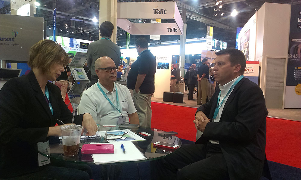
(Photo: Janice Partyka)
5G requires denser cell sites and every city has different rules and processes. The challenge, says Dana Tardelli of Mobilitie, is to get the cities to see the benefits. For instance, the city of Palo Alto, the epicenter of Silicon Valley, has poor cell service because the citizens and town resist having antennas installed. Reportedly, Steve Jobs had to go out in his yard to make a call. The future is smaller cells with distributed antennas, but unlimited data plans are on their way back and will create a large infrastructure load.
For Telit and other enablers of IoT, the sweet spot of the market is enterprise, an industry sector that is making money and can easily quantify savings from technology investments. “In five years, half of the show will be IoT, and it isn’t about technology, but about things that will be connected,” predicted Jack Indekeu of Telit. “There is also a strong market for devices that allow people to connect socially around issues of personal health and fitness.” Telit was highlighting its bundled platform, services and solutions, including data plans.

Comtech Telecommunications announced the availability of Location Studio, a developer’s platform to build cloud-based embedded and hybrid applications using location-based tools. Location Studio connects assets using AGPS and sensor positioning for location and integrates with a host of geolocation applications, taking advantage of the previous acquisition of Networks in Motion capabilities for mapping, messaging and navigation.
“There is great advantage of our approach over Google or Apple in which free access is bartered for data,” said Sameer Vuyyuru of Comtech. “Our approach eases clients’ concerns about security of data.” Last year, TeleCommunication Systems (TCS) was acquired by Comtech. Perhaps in the future, Comtech’s satellite products will be added to TCS’ public safety and LBS offerings.
CalAmp announced the availability of the MDT-7P, an Android-based tablet suited to deliver and support value-added applications for industries such as long-haul trucking, fleet management, asset delivery and mobile workforce management. The MDT-7P leverages CalAmp’s management and maintenance system, PULS, for autonomous over-the-air installation of applications and firmware directly to the tablet while in service.
U-blox announced plans to launch modules supporting Category M1 LTE networks. The first SARA R4 module developed by u-blox will be available later this year and targets mobile network operators in the U.S. market. With the recently launched SARA N2, a cellular NB IoT module, the new LTE Cat M1 complements u-blox’s product offering for the IoT.
Qualcomm Technologies and Verizon announced Verizon will pre-integrate its ThingSpace IoT platform-as-a-service within Qualcomm Technologies’ MDM9206 Category M LTE modem. The initiative also utilizes Verizon’s 4G LTE network as the gateway for simplifying the process of building, deploying and managing IoT applications customized for a wide-range of use cases.

Quite different from years ago when CTIA was chock full of carmakers, Ford was the only participant, and hosted the Ford Developer Hackathon on the exhibit floor. The event presented a two-way street for developers to learn how to use car data to build apps, and for Ford to see what interests the developer community. SmartDeviceLink is an open-source platform that enables creation of brought-in applications that appear integrated onto a car’s head unit.
I spoke to a team from Teradata who was working on creating an app that would compare fuel usage on the same route over time. For instance, I could compare my gas usage over each day of my commute and also compete against my co-workers who drive the same route. This team stayed until 3 a.m. at the convention center and were there the following morning to resume work. If they win the hackathon competition, team Teradata will take home all-expenses-paid trips to CES or share a Mustang car lease.
The Car Connectivity Consortium with its MirrorLink platform has a different approach to in-vehicle apps. The Ford platform requires that developers use templates for the interface. With MirrorLink, developers encounter more complexity but added freedom as they create the user interface. Alan Ewing of the Car Connectivity Consortium provided perspective on the industry’s current focus.
“We are polishing technology and working to refine the user experience,” Ewing said. “There will be wireless connectivity with no cabling and in the future, we may be able to distinguish among the phones in the car as to which belongs to driver.” He reports there is quite a bit of interest in in-vehicle streaming video.
Iridium showed an early sample of Edge, an M2M/IoT rugged transceiver scheduled to launch later this year. The Edge can be added onto existing products to enable satellite communications and used for tracking mobile or fixed assets. Many will use it alongside terrestrial communication. “IoT has opened up M2M markets and created standards and integration,” reported Tim Last of Iridium. ”We are also looking at consumer products, working with Garmin, wearables and handheld devices.”
InterDrone, an international drone show concurrently held in Las Vegas and partnered with CTIA, featured both low and high-end commercial products. The low-end (less than $1,200) serves advanced hobbyist and some professional uses.

“The high-end commercial markets include precision agriculture, construction and infrastructure inspection, mining, surveying and mapping, and top-shelf drone cinematography,” said Ted Bahr of BZ Media and InterDrone. “This segment gets all of the attention of U.S. drone makers, and the innovation and competition is intense.”
The CTIA show has changed through the years in an attempt to recapture its former luster and has come to an end. Most recently, CTIA consolidated its two shows per year into one. Next year, look for a replacement event, GSMA Mobile World Congress Americas, in partnership with CTIA, which will debut in San Francisco Sept. 12-14, 2017. The CTIA show is gone, but I’ll see you next September in San Francisco.