“Seen & Heard” is a monthly feature of GPS World magazine, traveling the world to capture interesting and unusual news stories involving the GNSS/PNT industry.

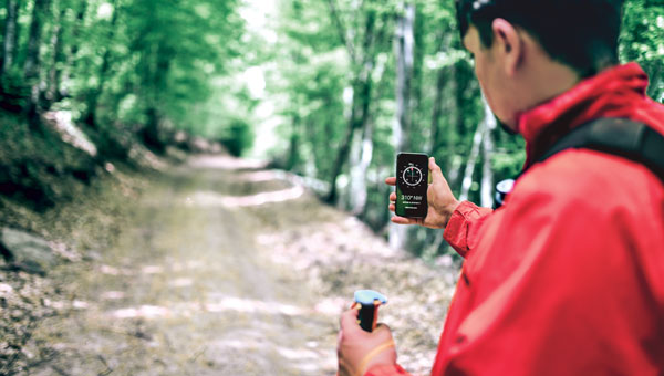
Drawing with GPS
According to Guinness World Records, a 982.53-mile, seven-day ride by David Schweikert was the “largest GPS drawing by bicycle”. His drawing of a cross spanned three U.S. states: Wisconsin, Nebraska and South Dakota. “GPS drawings,” or Strava art, are growing in popularity, with two other notable record attempts being made in the past 12 months. Schweikert completed his ride in May, but for Guinness World Records to consider a record official all documentation and data must be verified. There are also strict rules and regulations relating to mileage that deviates from the course. To stick strictly to the profile of the cross, Schweikert rode 35% of his trip on unpaved roads.

Location Data and Accountability
The Connecticut State Police is under fire for failing to archive vehicle location data. While all police cruisers are equipped with location technology, only live data is available, reported CT Insider. Officials can locate a police cruiser when the vehicle is in use but cannot determine where it has been in the past. Experts and lawmakers told CT Insider that not archiving location data for some period of time is unusual, and they are worried that it could make it harder to hold troopers accountable when their conduct comes into question — including in multiple ongoing investigations examining allegations of ticket falsification within the force.
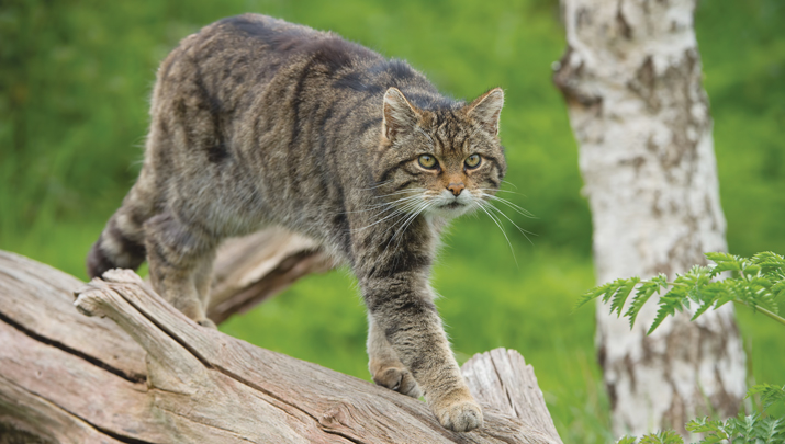
Collars and Cats
The Saving Wildcats conservation project, based at Cairngorms National Park in the Scottish Highlands, is using tracking collars to study endangered wildcats. For the project, 19 wildcats were released into the park while a field research team monitored movement data and was alerted if any of the animals were hurt or killed. This project is a collaboration between the Royal Zoological Society of Scotland (RZSS), NatureScot, Forestry and Land Scotland, and the Cairngorms National Park Authority. The new kittens, born at RZSS’s Highland Wildlife Park, will be released into the wild next summer once they are aged six to eight months.

High School Launches Weather Balloons
Croydon High School, in partnership with the University of Bath, has completed the Astrogazers project, which involved launching a weather balloon into space. On September 12, a team of girls from grades 5 through 11 successfully launched two meteorological balloons that ventured to an altitude of 32,380 m. The balloons carried essential equipment, including cameras, data loggers and GNSS receivers — all designed to explore how different materials respond to atmospheric conditions.