On Friday, March 3, Alex Murdaugh was convicted of killing his son Paul Murdaugh and wife Maggie Murdaugh on June 7, 2021. With limited evidence, the prosecution used a phone video and vehicle navigation data to prove Alex’s guilt.
During the trial, Alex claimed he was visiting his mother during the time the murders took place. However, General Motors OnStar data accessed by investigators from his Chevrolet Suburban contradicted the alibi, putting Alex at the scene of the crime during the time of the murders.
In addition to the navigation data, in a phone video taken by Paul on the night of the murders near the Murdaugh’s dog kennels at their Moselle property, Alex’s voice could be heard in the background. That video also placed Alex at the scene around the time Paul and Maggie were shot and killed.
After deliberating for less than three hours, the jury found Alex guilty of the double murders. The judge then sentenced him to life in prison without the possibility of parole.
Since the trial began, the South Carolina Law Enforcement Division has reopened several investigations connected to the Murdaugh family. This includes the case of Stephen Smith who was found dead on the side of the road in 2015 allegedly from a hit-and-run.
Alex Murdaugh (Image: Pool reporter photo from trial)
Cellphone and vehicle location data is at center stage as former South Carolina attorney, Alex Murdaugh, takes the stand in the trial for the murder of his wife, Maggie Murdaugh, and son, Paul Murdaugh. Troves of data including call logs, text messages, steps recorded, app information, coordinates determined by GPS and more from Alex, Paul and Maggie, are being retrieved for the ongoing trial.
Records retrieved from Murdaugh’s cellphone show that after the murders occurred, he proceeded to Google an area restaurant, check group messages, and made other calls that night, which he testified were accidental, according to CNN reports. Vehicle location data was also pulled and presented at trial to identify a timeline of events for the court, according to reports from AP.
Location data retrieved from Murdaugh’s cellphone on the night of the double murders is not the only time this type of data comes into play for the Murdaugh family.
In February 2019, Paul Murdaugh and his friends were involved in a boating accident, which killed one of the boaters, Mallory Beach. In the new Netflix documentary regarding the Murdaugh family, Murdaugh Murders: A Southern Scandal, a relative of one of the boaters mentions in Episode 2 that Beach always wore an Apple Watch, and asked why investigators failed to look into location data to find her sooner.
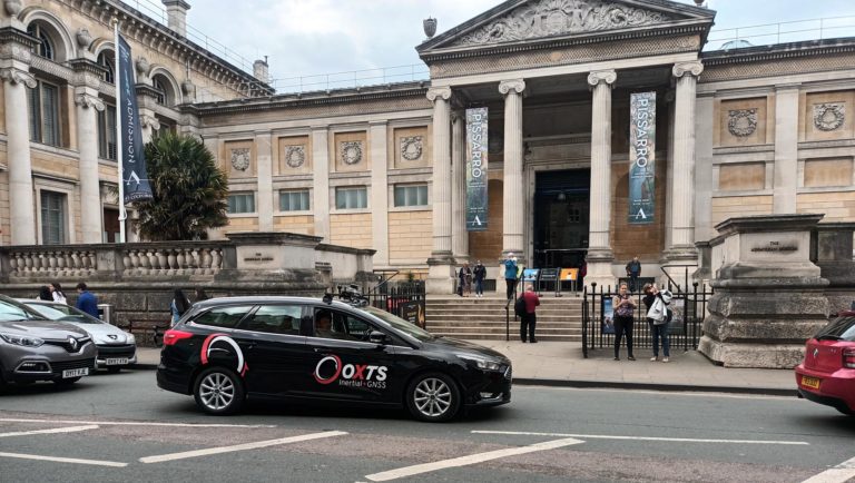
Mobile mapping is helping accelerate the progression of some of the most difficult engineering challenges on the planet, including those around autonomous driving and advanced surveying techniques, such as lidar.
The complexity of those challenges means that the outputs from a mobile mapping inertial navigation system (INS) must be as accurate as possible. A high-performing INS will make the most of any available GNSS signals, with the aim of providing centimeter-level accuracy even in areas where GNSS performs poorly, for instance in urban canyons. It also offers important data on pitch, roll and heading, which maintains the integrity of survey data even as the vehicle moves across large areas.
With such a wide variety of INS devices on the market, it can be difficult to narrow down the best option. It is important to establish criteria that will aid in evaluating the different INS propositions out there for mobile mapping projects.
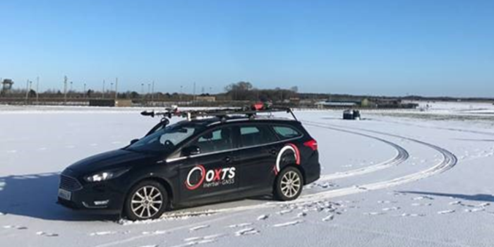
Image: OxTS
1) How tightly integrated are the inertial measurement unit (IMU) and GNSS data?
INS is an essential element in providing accurate location data in as many environments as possible. Therefore, it is important to know how effectively the data from the IMU supports the GNSS data. In technical terms, this means evaluating whether the sensors are tightly integrated at all, and if so, how well.
The reason GNSS struggles in urban canyons and under tree canopies is that it is unable to get the six satellite signals necessary for a real-time kinematic (RTK) lock. In this situation, the GNSS will give readings that may be incorrect, as it is essentially trying to solve an equation without having all the numbers.
A tightly integrated GNSS and INS data stream will select the most reliable signals and use those to determine the position of the vehicle. If the data streams are not tightly integrated, then the INS’ ability to counteract GNSS issues is limited. Without accurate positioning, data scans will lose accuracy and even become completely incoherent the longer the user scans — making them unreliable at best, and unusable at worst.
2) Trading off accuracy and cost
Although accuracy is vital in mobile mapping, some INS devices will provide data that is far more accurate than the given job requires. Because greater accuracy equals greater cost, users may be paying more than necessary.
With that being said, the scale of accuracy and cost is not linear. An INS half the price of the most expensive one on the market will not be half as accurate. Look at each offering carefully to see what it includes and decide what level of accuracy and features are vital to the task. Eliminating unnecessary levels of precision or additional software features that are not needed is an effective way to make some savings.
3) How rugged is the device?
Mobile mapping vehicles will likely be out in the dry, wet, hot, cold, mud and snow. These vehicles will almost certainly be used consistently for long periods of time. Thus, it is essential to know that none of these conditions will stop the INS from working at peak effectiveness. Look for the IP rating (IP65 is essential for being weatherproof and protecting against shocks and dust) and ask what the average lifespan of the product is.
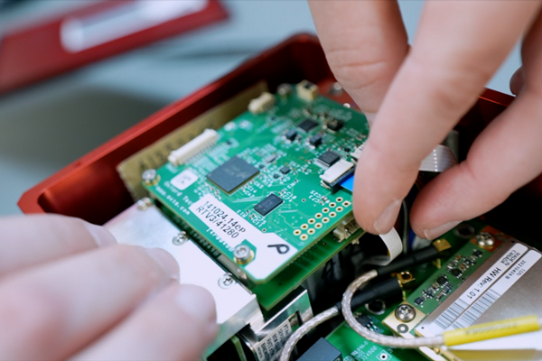
Image: OxTS
4) Can the device be properly calibrated?
Any INS is only as good as its calibration. Without calibration, the sensors in any INS can become misaligned and therefore provide inaccurate readings. Talk to vendors about their calibration processes — do they work to a nationally recognized standard of calibration like ISO 17025? Do their calibrations account for variations in temperature or humidity?
It is also worth considering how often sensors need recalibration. Recalibration is a chargeable service from most vendors, meaning the more the device needs recalibrating, the more the user will have to pay. This could also lead to delays if the user must send units abroad to have them recalibrated.
This powerful new capability assists organizations in the engineering, environmental consulting, construction and public utilities sectors that use custom mobile data collection apps built with Flowfinity to survey and inspect work sites.
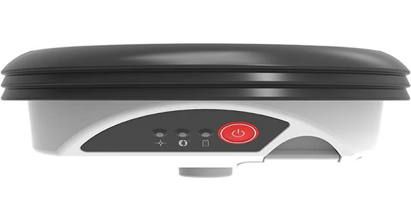
The Zeno GG04 plus is a rugged, flexible and easy-to-use smart antenna from Leica Geosystems, part of Hexagon. It uses RTK technology and Precise Point Positioning (PPP) to make high-accuracy data collection possible in real-time even in demanding locations without the need for a mobile data connection.
Photo: Flowfinity
The combination of state-of-the-art Zeno GNSS technology with the workflow automation features in Flowfinity Actions is a game-changing update that will save hours in the field while providing location data accurate to five decimal places for analysis in the office.
“This is an exciting update for any organization that needs to record accurate site survey data as part of their digital mobile workflows,” said Larry Wilson, VP Sales & Marketing, Flowfinity. “Field users in engineering and related industries can now collect some of the most precise GNSS readings possible and have that info available in their existing Flowfinity applications. This opens up significant opportunities to become more efficient on-site.”
All Flowfinity applications deployed on Android and iOS devices can now leverage the Leica Geosystems antenna to achieve 5 decimal place accuracy for GNSS location data.
For example, if an environmental consulting firm needs survey quality GNSS data to be collected and submitted during site inspections, they can now deploy field workers with Leica GG04 plus Smart Antennas to record data directly into their Flowfinity mobile applications, rather than performing manual data entry or relying on much less precise data from internal mobile device sensors.
Flowfinity is used across industries including environmental services, engineering, construction, municipal governments and utilities for driving efficiency and streamlining operational workflows.