Ubisense, a location intelligence solutions company, has become an Authorized Partner of solutions based on Google’s Enterprise Maps for Business technologies. This new designation from Google enables customers to more easily assess Ubisense’s expertise advising on and deploying Google products.
In conjunction with the partnership, Ubisense formally announced Ubisense myWorld 2.0, an intuitive location intelligence platform that integrates Google Maps for Business technologies and provides visibility into an enterprise’s operations, enhancing operational awareness and enabling businesses to operate more effectively.
Ubisense provides location intelligence solutions that address enterprise visibility challenges, and as an Authorized Partner, Ubisense can now provide Google Maps for Business integration and OEM licenses to its customers in a simple and cost-efficient manner. Ubisense myWorld brings critical enterprise information together into a single application that can be accessed via any standard web browser on any smart device. Ubisense myWorld incorporates network asset data, work orders, customer information, and other critical operational data from a variety of spatial and enterprise systems vendors. Additionally, Ubisense myWorld can be integrated with Google Maps for Business solutions, including Google Maps, Google Search, Google Earth, Google Elevation and Google Street View with Ubisense myWorld.
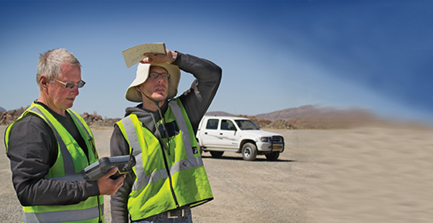
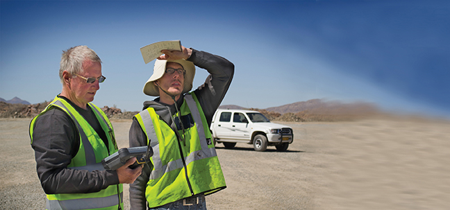
“Google Maps give our customers a smart, simple, and fast way to view complex business operations so they can quickly understand the state of operations and make better and more informed business decisions,” said Jay Cadman, vice president of business development, Ubisense. “In, say, an outage caused by a natural disaster, having this detailed view of an organization’s operations in real time enables our customers to respond to safety issues, such as downed power lines, with the right equipment and safety precautions the first time. They can keep their employees and customers safer and restore services faster. Every telecommunications and utility company in the world strives for that and now we’re able to deliver a solution that enables them to achieve both goals.”
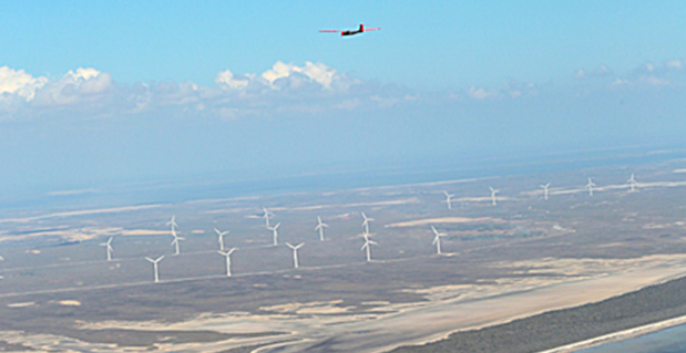
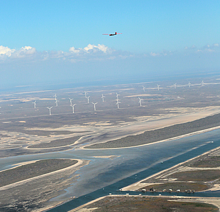
Using Ubisense myWorld with Google Maps technologies, Ubisense customers can realize a number of benefits that can significantly impact an organization’s bottom line and improve customer service. Ubisense myWorld customers gain the ability to react to issues and potentially harmful situations sooner and are better prepared to solve issues faster, work more efficiently, and enhance their customer service and support. Rapidly gaining traction among telecommunications and utility companies, Ubisense myWorld is already used by 26 customers spanning five continents. Ubisense customers are using Ubisense myWorld for many critical business processes, including storm damage assessment, network operations, gas leak surveying, field mobility and customer service.
Google Maps for Business brings the power of Google Maps to an organization, providing simple, familiar mapping technology to the workplace. Users can layer their data on top of Google’s base map and create their own maps and geospatial applications that can be used by anyone — anytime, anywhere. By using any of Google Maps business solutions, including Google Maps Engine, Google Maps Engine Pro, Google Maps Coordinate or the Google Maps APIs, organizations and their employees can rely on maps that are comprehensive, easy-to-use and always up to date.
The Google Maps Partner Program includes companies globally that sell, service and customize Google Maps for business solutions for their customers. As a part of the Google Maps Partner Program, Ubisense receives training, support and deployment tools from Google.