Author: GPS World Staff

  • Expert Advice: Taking Up Positions — Galileo and E112

    Expert Advice: Taking Up Positions — Galileo and E112

    By Andy Proctor

    Sessions on indoor navigation and a keynote from Google at February’s International Navigation Conference (INC15), organised by the Royal Institute of Navigation, addressed the revised E911 positioning requirements in the United States, and flowed over into speculation about E112 emergency calling parameters in Europe’s near future.

    According to the 2014 U.S. Federal Communications Commission report, 75 percent of 911 calls now come from mobile phones, more than half of those originate indoors, and around 1 percent of emergency calls contain no location information from the caller (due to distress, confusion, language issues, illness, and so on). The report estimates 10,000 deaths per year in the United States might have been avoided if a landline had been used instead, since location information for landlines can be provided confidently.

    Discussion in the breaks of INC highlighted a misunderstanding amongst some parties that E911 mandates the use of GPS for position location determination. In fact,  E911 does not mandate any specific technology; it specifies performance criteria in terms of accuracy that must be met. The recently revised performance criteria include indoor performance, and some of the technology discussed at the INC is able to meet these requirements without using GNSS at all.

    This could be troublesome for Europe, which is looking at the imposition of Galileo as part of an A-GNSS technology push for the E112 application. The real problems, discussed during INC and in European consultation processes with safety of life services such as E112, are:

    • the accuracy of the position derived by the device and/or network, and
    • the timeliness of the delivery of that position to the Public Service Answering Point (PSAP).

    The E911 directives address these points directly, and the infrastructure in the cellular networks is in place. Does simply implementing a Galileo capability into a European mobile device solve these problems?

    In many outdoor cases, implementing Galileo can bring benefits, including signal diversity. And of course the E112 proposal is greater than just “adding Galileo.” It does address the second problem of timeliness of delivery and data transfer, but there are significant infrastructure upgrades required across Europe for the provision of this location data to the PSAPs.

    What the E112 processes do not currently do is specify performance criteria for the position location accuracy. This means that the position estimate provided under E112 is likely to be a cell-ID fix, with an accuracy ranging from hundreds of meters to dozens of kilometers.

    Galileo on Mobiles. Further discussion during the conference delved into the realms of the specifics of implementing A-GNSS, including Galileo, onto a mobile device. Conversations centered around if any future E911 or E112 positioning capability would be aligned around a single-chip solution as generally currently deployed on a device, or if some of the functions will be moved up the stack into the operating system (OS) of the device, into software.

    Most opinions were against this latter concept, and a panel at the ION GNSS+ last year in Florida concluded the same thing. However, questions were asked about some ideas relating to identifying the emergency number at the time of dialing and then starting the position location determination functions in readiness for the need to provide the device location. This addresses the first bullet point earlier, the accuracy of the position derived by the device and/or network. If this is carried out in the OS or software layers, vulnerability of the system will be increased overall as the OS of a mobile device is a target for the cyber criminal community.

    A robust software-based solution is, however, being rolled out in the United Kingdom in the form of eSMS, bringing mobile operators, government and handset vendors together to provide location data via SMS to the PSAP. The advantage of this approach is that no new standards or major infrastructure changes are required, and the time to implement is small.

    Further discussions established that future chipsets are likely to use whatever GNSS signals are available, regardless of whether they are GPS, Galileo, GLONASS, Beidou and so on. This, coupled with new signal processing techniques (single-frequency observable for example), increasing sensor clustering on devices, and user demand for services, may make the use of a specific GNSS system above others somewhat redundant. Certainly picking up on a point made by Chandu Thota from Google, GNSS is “not relevant” for their indoor positioning solutions, and technologies they are working on, in both hardware and mapping improvements, are looking at meeting indoor accuracy requirements down to a target requirement of 1 meter, without GNSS.

    Taking these points into account, questions were asked from the floor of the conference about the legal position of the EC mandating Galileo as a positioning method as well as the willingness of the global mobile chipset and device industry to be told what to do. Perhaps specifying strong performance criteria, as in the United States, is the way forward to “reboot” the European E112 system. No one disputes that a properly functioning E112 is a life saver and a good thing to do; however, the points discussed here detail some of the concerns expressed during and after hours at INC15.


    In February 2015, the Royal Institute of Navigation hosted the International Navigation Conference in Manchester, UK. Keynotes at this well-attended conference included Harold Martin, director of the GPS Coordination Office; Gian Gherardo Calini, the head of market development at the European GNSS Agency; Todd Humphreys from the University of Texas; Chandu Thota from Google; and others. The conference covered multiple technology tracks including indoor navigation, autonomy, quantum technology and the resilience of GNSS systems.


    Andy Proctor is lead technologist for satellite navigation at InnovateUK, the UK’s innovation agency. He acknowledges Ramsey Faragher, Cambridge University, for help in the preparation of this article.
  • Spectracom Adds India’s IRNSS, Japan’s QZSS to Simulator Capabilities

    Spectracom Adds India’s IRNSS, Japan’s QZSS to Simulator Capabilities

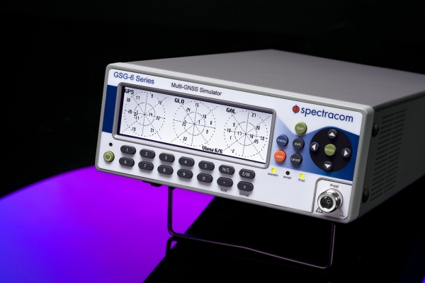
    Spectracom’s GSG-6 Series multi-frequency GNSS signal simulator. Photo: Spectracom
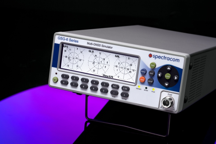
    Spectracom’s GSG-6 Series multi-frequency GNSS signal simulator. Photo: Spectracom

    Spectracom has added capability to simulate India’s global navigation satellite system, IRNSS, and Japan’s regional satellite system, QZSS, to its GSG-6 Series multi-frequency GNSS signal simulator. The simulator is designed to be field upgradeable to simulate all current and future GNSS constellations so current customers can benefit from these features without the need for a factory return in most cases.

    “Spectracom understands the need for system developers and integrators to be compatible with various GNSS systems. Support for multiple constellations is a requirement in many markets and additional satellites add signal diversity for improved reliability,” said Spectracom Global Sales and Marketing Vice President Rohit Braggs. “Our easy-to-use, compact and affordable GNSS simulator can now be configured with IRNSS and QZSS capability in addition to the big four: GPS, GLONASS, BeiDou and Galileo. Our customers can buy what they need now and easily upgrade in the future, often times without a hardware upgrade.”

    In anticipation of the deployment of new GNSS systems, Spectracom ensures that every GSG simulator that leaves the factory is tested for compliance with all L-band signal frequency and modulation specifications as defined in their ICDs, the company said.

    The Series 6 multi-frequency simulator is fully capable of all four bands of any system: L1 / E1 / B1; L2 / L2C; L5 / E5 / B2; and E6 / B3.

    “As we have seen with our recent roll-out of Beidou and Galileo signal compatibility, when the need for new signals arise, we will offer those capabilities with a simple upgrade path,” Braggs said. “This ensures our customer’s investment is always protected.”

  • The Business — April 2015

    The Business section from the April 2015 issue. Download the PDF.

    Includes: Mobile World Congress Report; Rohde & Schwarz Adds Testing; FAA Seeks Comments on UAS; and more

  • China Launches First of Next-Gen BeiDou Satellites

    China Launches First of Next-Gen BeiDou Satellites

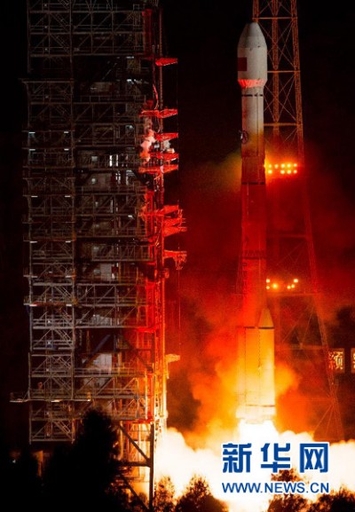
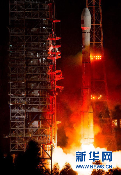
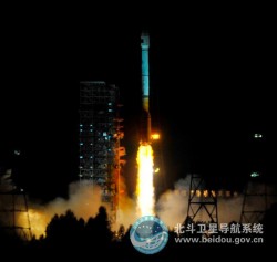
    Beidou-3M1-3 Photo: BeiDou
    Photo: BeiDou

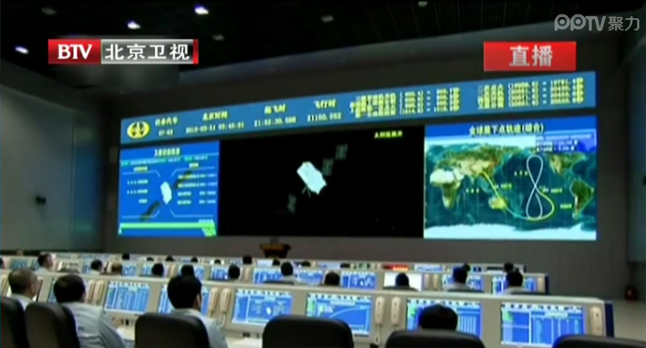
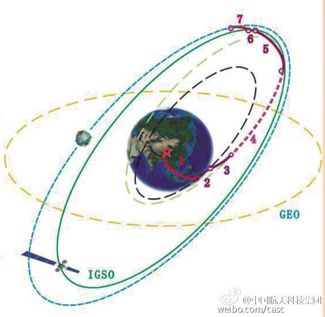
    UPDATE (3/31/15): The BeiDou satellite is being targeted for an IGSO orbit, not a MEO orbit as previously speculated. The two images below make this clear.

    BeiDou-orbit-2
    Photo: BeiDou
    BeiDou-Orbit-1
    Photo: BeiDou

    Below is a CCTV (China Central Television) news story covering the launch.


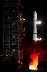
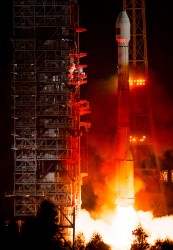
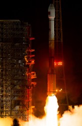
    UPDATE (3/30/15): China’s launch of BeiDou-3 M1 is now being reported in that country’s media. The launch occurred at 21:52 on March 30. BeiDou-3 M1 is the first of 17 next-generation Beidou navigation satellites. It will have a new navigation signal system with inter-satellite links and other tests to verify the satellite navigation system.


    NASA Spaceflight is reporting that China is believed to have launched the first of a new generation of navigation satellites for its BeiDou constellation. However, the launch has received a blackout in China, with lift-off only confirmed by local observers.

    The possible launch of BeiDou-3 M1 took place at 13:52 UTC today from the Xichang Satellite Launch Center on a Chinese Long March 3C rocket, with the debut use of the new Expedition-1 (Yuanzheng-1) upper stage.

    If confirmed, this is the fifth successful launch of a navigation satellite in less than a week, following GPS IIF-9 on WednesdayGalileo 7 and 8 on Friday and India’s IRNSS-1D on Saturday.

    Today’s launch involved a new series of satellites that is expected to mark an advancement in the completion of its Beidou Phase III program several years ahead of schedule, by as soon as 2017 rather than 2020, NASA Spaceflight reports.

    The Beidou Phase III system includes the migration of its civil Beidou 1 or B1 signal from 1561.098 MHz to a frequency centered at 1575.42 MHz – the same as the GPS L1 and Galileo E1 civil signals — and its transformation from a quadrature phase shift keying (QPSK) modulation to a multiplexed binary offset carrier (MBOC) modulation similar to the future GPS L1C and Galileo’s E1. The current (Phase II) B1 open service signal uses QPSK modulation with 4.092 megahertz bandwidth centered at 1561.098 MHz.

  • Galileo’s Two Newest Birds Undergoing Initial Checks

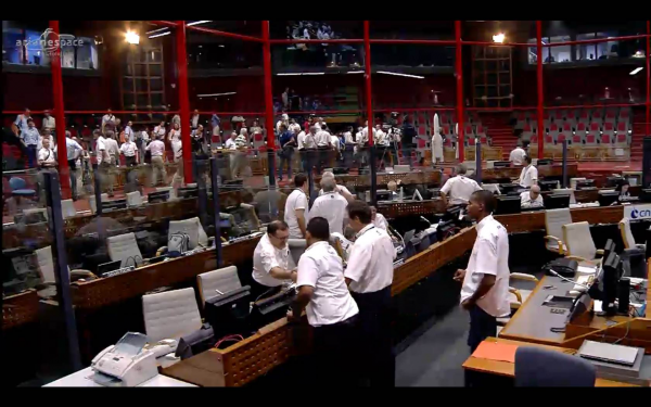
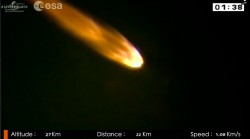
    The Galileo launch team celebrates after a successful launch. (Screenshot of ESA/Arianespace live stream of lift-off.)
    The Galileo launch team celebrates after a successful launch. (Screenshot of ESA/Arianespace live stream of lift-off.)

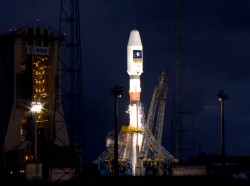
    The two newest Galileo satellites — dubbed Adam and Anastasia — launched Friday are now being checked out by the European Space Agency (ESA) and France’s CNES space agency from the CNES Toulouse centre.

    Following these initial checks, the two satellites will be handed over to the Galileo Control Centre in Oberpfaffenhofen, Germany, and the Galileo in-orbit testing facility in Redu, Belgium, for testing before they are commissioned for operational service. This is expected by mid-year.

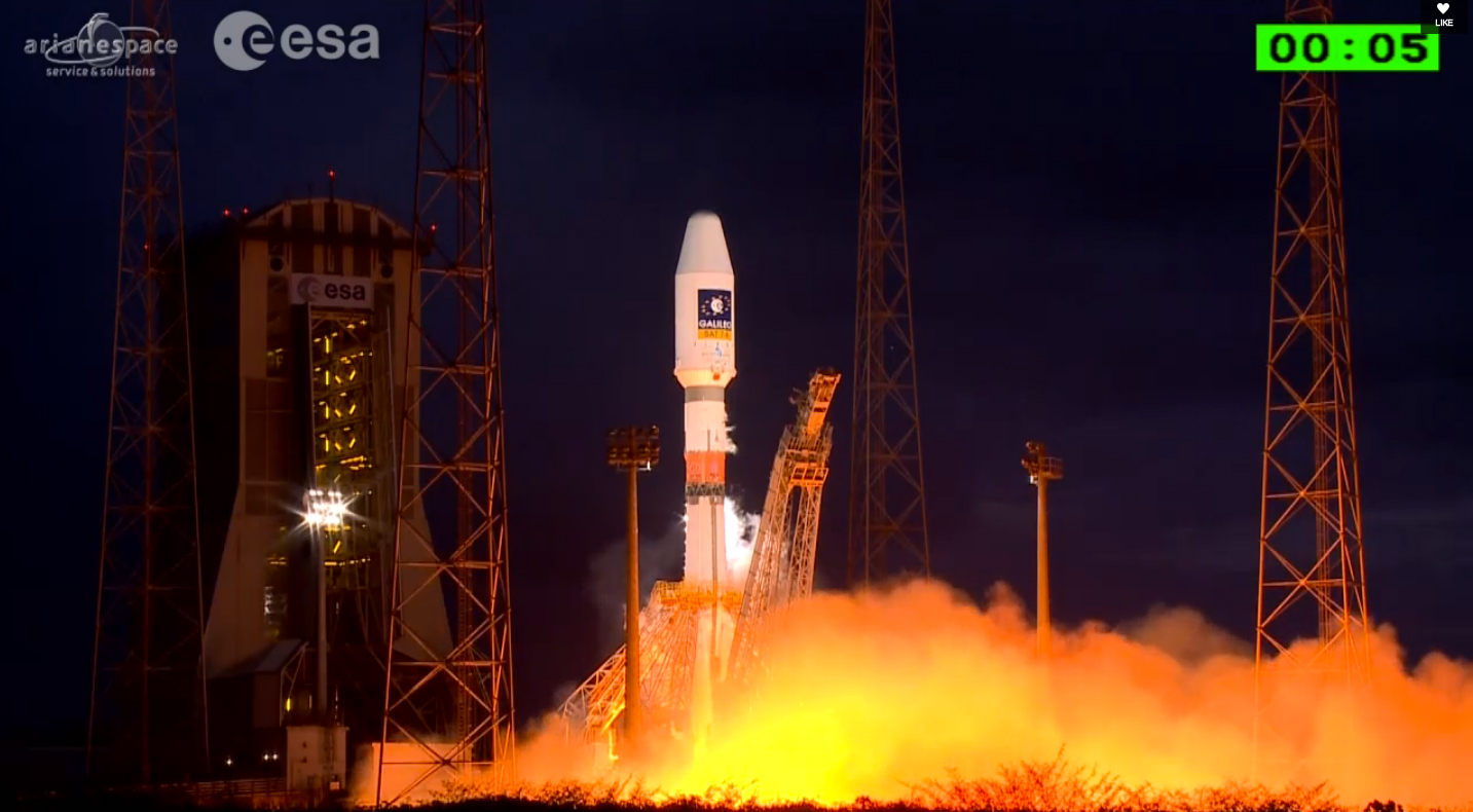
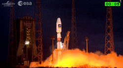
    Screenshot of ESA/Arianespace live stream following lift-off.
    Screenshot of ESA/Arianespace live stream following lift-off.

    Adam and Anastasia are the third and fourth Full Operational Capability (FOC) spacecraft for Europe’s Galileo global navigation satellite system.

    After an initial powered phase of Soyuz’ three lower stages, the launch included two burns of the Fregat upper stage — separated by a three-hour-plus ballistic phase — to place the two 700-kg.-class satellites at their targeted deployment point, according to launch contractor Arianespace. Total payload lift performance for the flight was estimated at 1,597 kg. on a mission to a circular medium-Earth orbit.

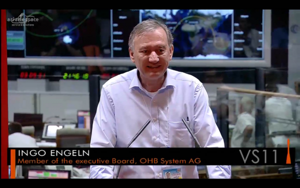
    During post-launch comments from the Spaceport, Arianespace Chairman and CEO Stéphane Israël thanked and congratulated everyone involved with the Soyuz mission — designated VS11 in the company’s numbering system — but added that there is still much work to be done for the Galileo program moving forward.

    He said there are six more Galileo launches to come following tonight’s success: three missions on Soyuz with six additional FOC satellites, and three launches on Ariane 5, with 12 more units.

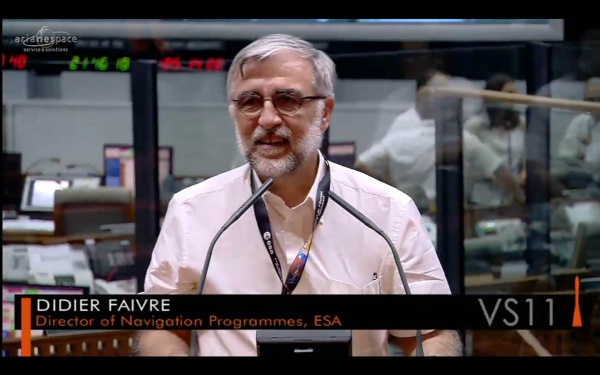
    Didier Faivre-ESA
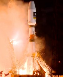
    Screenshot of ESA/Arianespace live stream following lift-off.

    “The satellites are doing fine and are in good hands, managed by the Toulouse CNES [French space agency] operational center,” added Didier Faivre, director of Navigation Programs for ESA. “Let’s rejoice with this very good news. We will be back as soon as possible to continue deploying our satellites.”

    The on-target Soyuz launch of Adam and Anastasia followed by one day the 35th anniversary of Arianespace’s creation in 1980. Adam and Anastasia were built by OHB System, with Surrey Satellite Technology Ltd. supplying their navigation payloads.

    Galileo’s FOC phase — during which the network’s complete operational and ground infrastructure will be deployed — is being managed and funded by the European Commission, with ESA delegated as the design and procurement agent on the commission’s behalf.


  • India’s IRNSS-1D Launched into Orbit

    India’s IRNSS-1D Launched into Orbit

    IRNSS-1D-1-launch
    Photo credit: ISRO

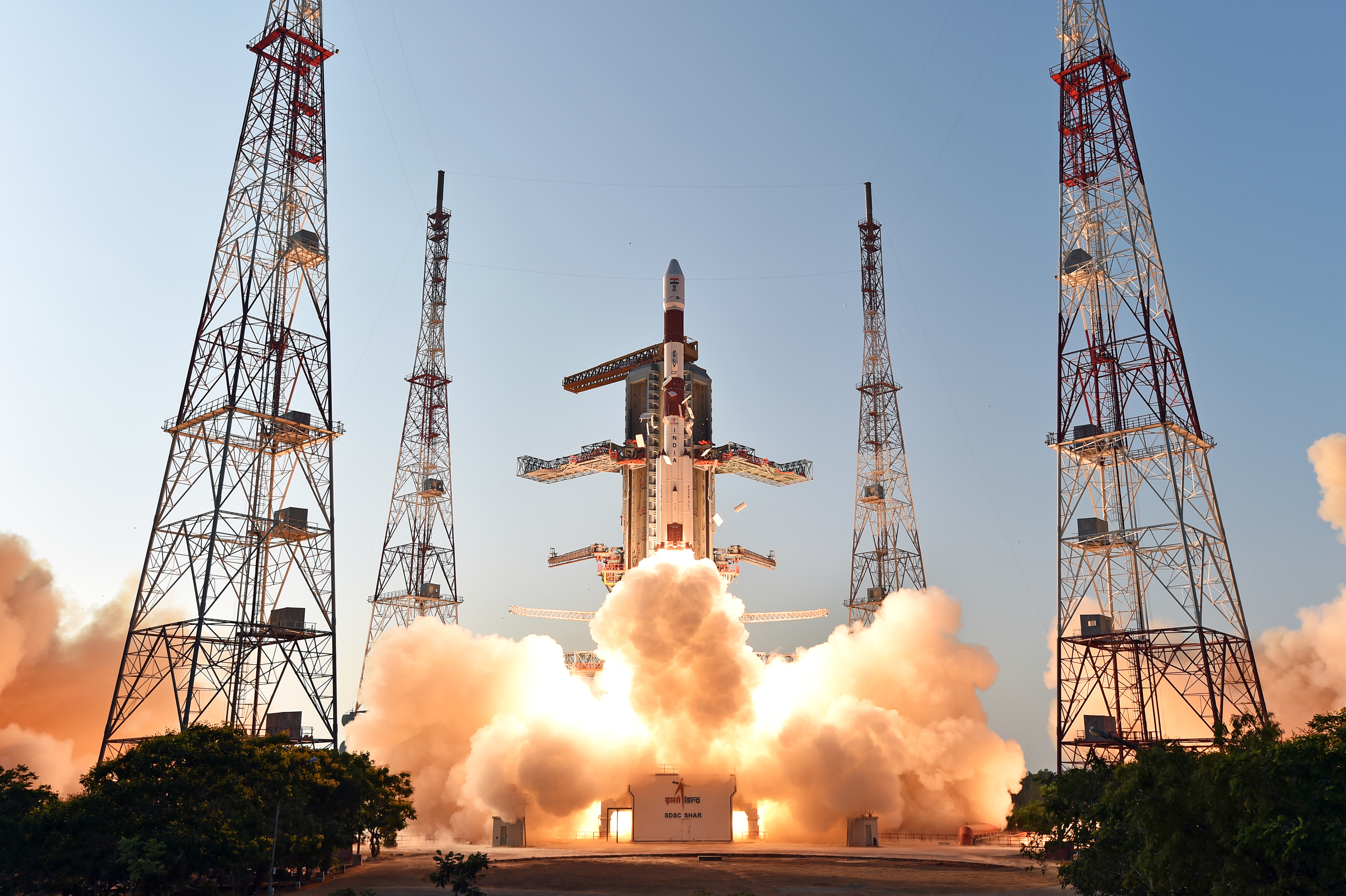
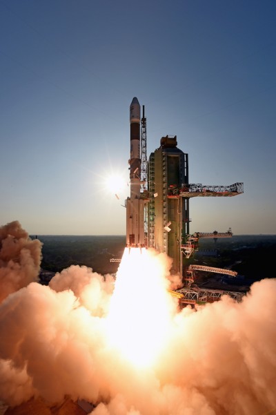
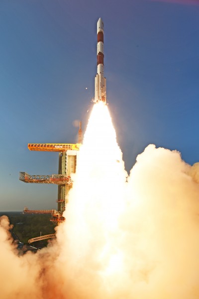
    The fourth satellite of IRNSS satellite navigation constellation, IRNSS-1D, was launched onboard PSLV-C27 on Saturday, March 28, according to the Indian Space Research Organization (ISRO). The Polar Satellite Launch Vehicle blasted off at 11:49 GMT (7:49 a.m. EST), or 5:19 p.m. local time, at the Satish Dhawan Space Center on India’s east coast.

    This is the fourth successful launch of a navigation satellite in less than a week, following GPS IIF-9 on Wednesday and Galileo 7 and 8 on Friday. A fifth navigation satellite, for the BeiDou constellation, is expected to launch tomorrow.

    This is the 28th consecutively successful mission of the PSLV, the ISRO said. The “XL” configuration of PSLV was used for this mission. Previously, the same configuration of the vehicle was successfully used seven times.

    After the PSLV-C27 lift-off with the ignition of the first stage, the subsequent important flight events took place as planned. After a flight of about 19 minutes, 25 seconds, the IRNSS-1D satellite was injected to an elliptical orbit of  282.52 km X 20,644 km, very close to the intended orbit, and successfully separated  from the PSLV fourth stage.

    After injection, the solar panels of IRNSS-1D were deployed automatically. ISRO’s Master Control Facility (at Hassan, Karnataka) took over the control of the satellite. In the coming days, four orbit maneuvers will be conducted from the Master Control Facility to position the satellite in geosynchronous orbit at 111.75 degrees East longitude with 30.5 degrees inclination.

    IRNSS-D is the fourth of seven IRNSS satellites to be launched to provide navigational services to the region, according to the ISRO. The satellite was placed in geosynchronous orbit. Predecessors IRNSS-1A, 1B and 1C were launched by PSLV-C22, PSLV-C24 and PSLV-C26 in July 2013, April 2014 and October 2014 respectively. All the satellites are functioning satisfactorily from their designated orbital positions.

    The IRNSS navigational system is regional, and targeted towards South Asia. The satellite will enable navigation, tracking and mapping services.

    The next satellite, IRNSS-1E, is scheduled to be launched by PSLV. The entire IRNSS constellation of seven satellites is planned to be completed by 2016.

    IRNSS-1D-2-launch
    Photo credit: ISRO
    IRNSS-1D-3-launch
    Photo credit: ISRO
  • GSA’s 2015 Report Dives Deep into Global GNSS Market

    GSA’s 2015 Report Dives Deep into Global GNSS Market

    FIGURE 1. Cumulative core revenue, 2013–2023.
    FIGURE 1. Cumulative core revenue, 2013–2023.

    2015 GNSS Market Report: European GNSS Agency Provides a Fresh Look at Worldwide Growth

    The fourth edition of the European GNSS Agency’s (GSA’s) GNSS Market Report provides a comprehensive source of knowledge on this dynamic global market. The report has become a key reference for organizations building their GNSS market strategies. The new edition provides:

    • Comprehensive updates on previous analyses;
    • New statistics of the GNSS receiver capabilities of the 31 top global manufacturers, offering in total more than 300 models;
    • Insights on the GNSS industry and regional shares of the GNSS market
    • A more granular segmentation of the global GNSS market, namely: European Union (EU28); North America (including the United States, Canada, Mexico); Asia-Pacific (including China, Japan, Australia, India, Republic of Korea); Non-EU28 Europe (Norway, Switzerland, Russia, Ukraine);  Middle East and Africa (Turkey, Israel, South Africa, UAE, Saudi Arabia); South America and Caribbean (including Brazil, Argentina, Colombia, Guatemala)
    • Information on a new market segment: Timing and Synchronization
    • Plus additional applications within existing segments, such as recreational navigation, fishing vessels, personal locator beacons, emergency locator transmitters and digital tachograph.
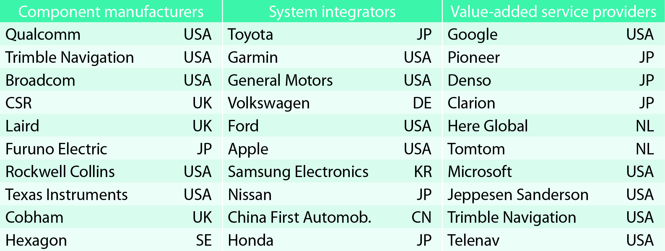
    TABLE 1. Top 10 companies in each group based on 2012 revenue.
    TABLE 1. Top 10 companies in each group based on 2012 revenue.

    Key Findings

    Top-line insights from the fourth GSA GNSS Market Report:

    • The global GNSS downstream market is forecast to increase by 8.3 percent annually from 2013– 2019, then slow down to 4.6 annually around 2023, growing on average faster (7 percent) than the forecast global GDP in this period (6.6 percent).
    • The installed base in the mature regions of EU28 and North America will grow steadily (8 percent per year) to 2023. The primary region of growth will be Asia-Pacific, which is forecast to grow 11 percent per year from 1.7 billion in 2014 to 4.2 billion devices in 2023 — more than the EU and North America together. The Middle East and Africa will grow at the fastest rate (19 percent per year), but starting from a lower base.
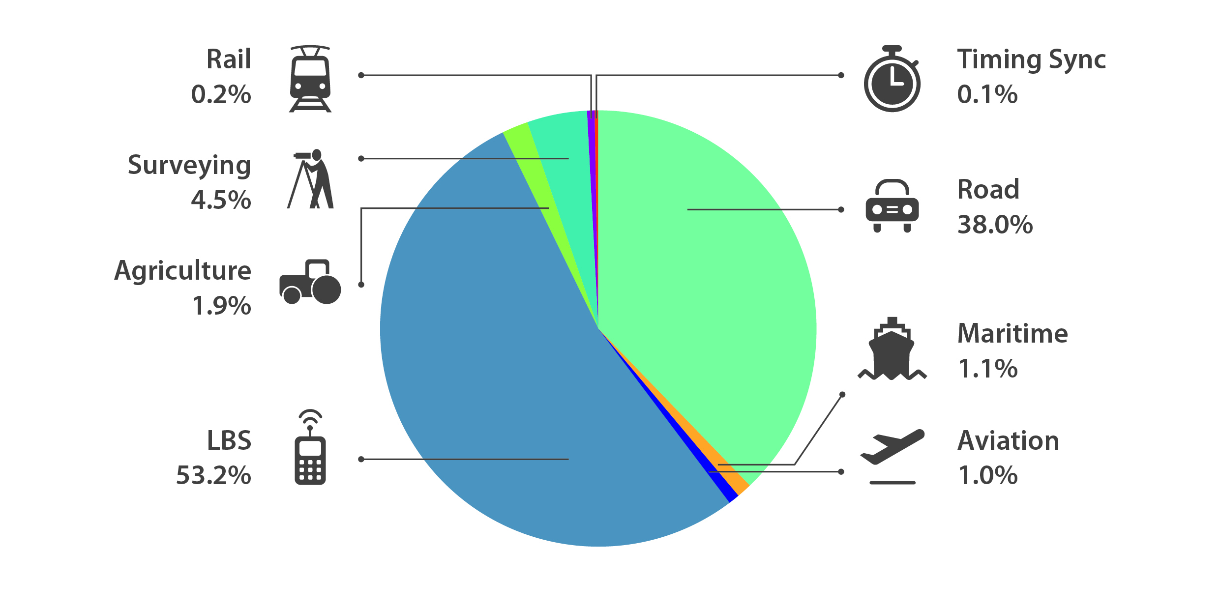
    • Location-Based Services (LBS) and Road dominate cumulative GNSS revenues, driven by booming sales of smartphones and in-vehicle devices, location-aware applications and data services.
    • With emerging economies catching up in terms of GNSS devices per capita, the Digital Divide will narrow, driven by the take-up of smartphones. The growing dominance of smartphones (3.08 billion in 2014) is foreseen as the most popular platform to access LBS.
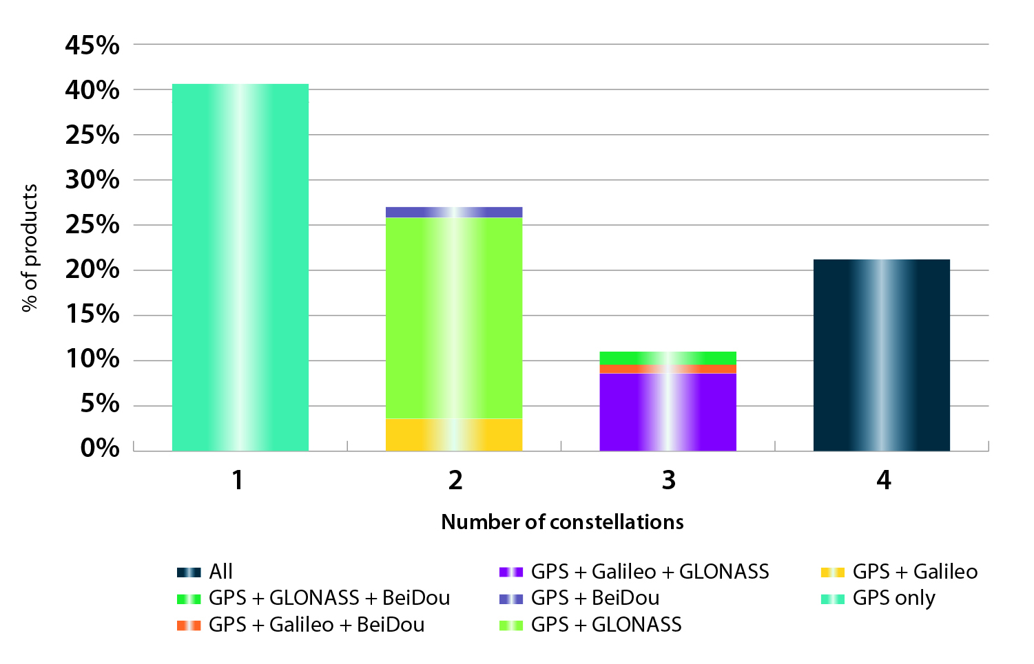
    • In the analysis of the capabilities of GNSS receivers and chipsets, it is reported that more than 60 percent of currently available receivers and chipsets support a minimum of two constellations with more than 20 percent supporting all four of them.
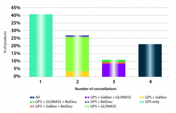
    FIGURE 2. SUPPORTED CONSTELLATION BY RECEIVERS Chart shows the percentage of available receivers capable of tracking signals from one GNSS (such as GPS only), two GNSS (GPS + Galileo, GPS + GLONASS, GPS + BeiDou), three GNSS (GPS + Galileo + GLONASS, GPS + Galileo + BeiDou, GPS + GLONASS + BeiDou) or tracking signals from all constellations at the same time. The percentages add up to 100 percent. We can conclude that almost 60 percent of all available receivers, chipsets and modules are supporting a minimum of two constellations, showing that multi-constellation is becoming a standard feature across all market segments.
    FIGURE 2. SUPPORTED CONSTELLATION BY RECEIVERS Chart shows the percentage of available
    receivers capable of tracking signals from one GNSS (such as GPS only), two GNSS (GPS
    + Galileo, GPS + GLONASS, GPS + BeiDou), three GNSS (GPS + Galileo + GLONASS, GPS +
    Galileo + BeiDou, GPS + GLONASS + BeiDou) or tracking signals from all constellations at
    the same time. The percentages add up to 100 percent. We can conclude that almost 60
    percent of all available receivers, chipsets and modules are supporting a minimum of two
    constellations, showing that multi-constellation is becoming a standard feature across all
    market segments.

    New Charts

    The report includes new infographics presenting:

    • Global GNSS downstream market size, core and enabled (2013 to 2023)
    • GNSS industry share by region (2012)
    • The global shares of companies among components manufacturers, systems integrators and value-added service providers (2012)
    • Capability of GNSS receivers and chipsets, all segments (2015)
    • Supported constellation by receivers and chipsets , all segments (2015)
    • Detailed analysis of key GNSS segments: LBS, Road, Aviation, Rail, Maritime, Agriculture, Surveying, Timing and Synchronization, quantified in terms of:
      • Shipments of GNSS devices by application and region (2013 to 2023)
      • Installed base of GNSS devices by application and region (2013 to 2023)
      • Core revenues from GNSS device sales by application and region (2013 to 2023)
      • Capability of GNSS receivers and chipsets (2015)
      • Supported constellation by receivers and chipsets (2015).
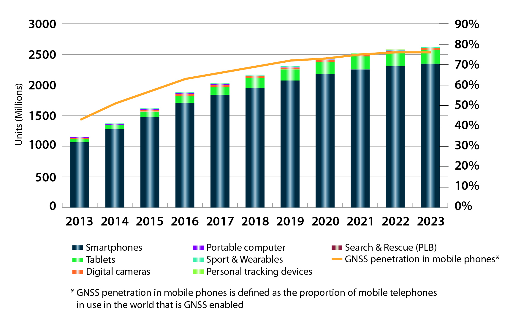
    FIGURE 3. LOCATION-BASED SERVICES SECTOR GNSS shipments by type; GNSS penetration in mobile phones is defined as the proportion of mobile telephones in use in the world that is GNSS enabled.
    FIGURE 3. LOCATION-BASED SERVICES SECTOR GNSS shipments by type; GNSS penetration in
    mobile phones is defined as the proportion of mobile telephones in use in the world that is
    GNSS enabled.
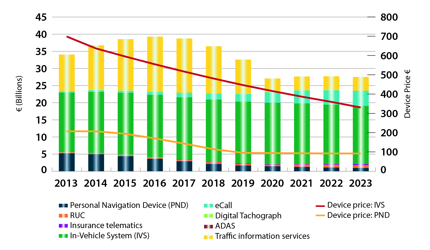
    FIGURE 4. ROAD SECTOR Core revenue from GNSS device sales and services by application.
    FIGURE 4. ROAD SECTOR Core revenue from GNSS device sales and services by application.

    Methodology

    The “GSA GNSS Market Report” is compiled by the GSA and the European Commission and was produced using the GSA’s systematic Marketing Monitoring and Forecasting Process.

    The underlying market model uses advanced forecasting techniques applied to a wide range of input data, assumptions, and scenarios to forecast the size of the GNSS market in terms of shipments, revenue and installed base of receivers.

    Historical values are anchored to actual data in order to ensure a high level of accuracy. Assumptions are provided by expert opinions and model results are cross-checked against the most recent market research reports from independent sources, before being validated through an iterative consultation process with sector experts and stakeholders.

    Download

    Readers can download the entire 29-MB report free.

  • Two Galileo Satellites Launched for Europe’s Navigation Constellation

    Two Galileo Satellites Launched for Europe’s Navigation Constellation

    Galileo 7 and 8 were launched into orbit on time today. (Screenshot of ESA/Arianespace livestream feed.)
    Galileo 7 and 8 were launched into orbit on time today. (Screenshot of ESA/Arianespace livestream feed.)

    UPDATE: The two Galileo satellites are confirmed separated from their Soyuz Fregat upper stage into 22,522 altitude orbit right on schedule, according to ESA. Both are in their planned orbits.


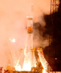
    Two more Galileo satellites were successfully launched today from Europe’s Spaceport in French Guiana. The seventh and eighth Galileo satellites were lifted aloft on time at 21:46:18 GMT (22:46:18 CET) atop a Soyuz ST-B rocket.

    The first three stages of the Soyuz rocket are delivering the Galileo satellites and their Fregat upper stage into low orbit. Then the reignitable Fregat, as much a spacecraft as a rocket stage, will take over the task of hauling the satellites higher through a pair of burns. The satellites will be released in opposite directions by their dispenser once they reach their set 22,522 kilometer-altitude orbit 3 hours, 47 minutes, 57 seconds after launch.

    The launch is designated VS11 in Arianespace’s numbering system. Flight VS11’s passengers — built by OHB System, with Surrey Satellite Technology Ltd. supplying the navigation payloads — are the third and fourth Full Operational Capability (FOC) satellites in the Galileo program, which is creating a European-operated space-based navigation system.

    The European Commission is managing and funding Galileo’s FOC phase, during which the network’s complete operational and ground infrastructure will be deployed. The European Space Agency has been delegated as the design and procurement agent on the commission’s behalf.

    Watch a replay of the launch here:

  • Salvage in Space: Galileo Satellites Recovered

    In August 2014, they were considered lost: Two Galileo satellites ended in the wrong orbit after their launch by a Soyuz from Kourou, French Guiana. Now the two satellites have been recovered and should be able to fulfill, at least partially, their mission, according to the ESA (the European Space Agency) — a situation made possible by the extended Galileo team, ESA and agency partners.

  • Bill Supports eLoran as GPS Backup

    A bi-partisan group of legislators led by Congressman John Garamendi (D-Calif.) has introduced a bill that would require the U.S. Secretary of Defense to establish a backup for GPS within three years using eLoran.

    The National Positioning, Navigation, and Timing Resilience and Security Act of 2015H.R. 1678, was co-sponsored by Congressmen Duncan Hunter (R-Calif.), Peter DeFazio (D-Ore.), and Frank LoBiondo (R-N.J). Garamendi is the ranking member of the House Transportation and uInfrastructure Subcommittee on the Coast Guard and Maritime Transportation.

    H.R. 1678 would require the secretary of defense, in coordination with the commandant of the Coast Guard and the secretary of transportation, to establish and sustain a reliable, land-based positioning and navigation system that will complement and backup America’s GPS for military and civilian uses by using eLoran.

    eLoran is the government’s existing and underused long-range navigation system infrastructure. The backup system would step in when GPS signals are corrupted, degraded, unreliable, or otherwise unavailable. A terrestrial-based system, eLoran wouldn’t be affected by atmospheric interruptions such as solar storms, or jamming or spoofing aimed at GPS.

    The bill directs the secretary of defense to incorporate the expertise and contributions of the private sector to quickly establish  system architecture, as well as build and operate the system.

    “GPS is much more than a LCD screen on your dashboard. It’s a technology used for much of our nation’s critical infrastructure and by almost every major industry in America, as well as the military, law enforcement, and first responders,” Garamendi said in a press release. “We are increasingly reliant on the precision, navigation, and timing services that GPS provides. From land navigation on cell phones to a timing source for our national infrastructure, we need a reliable backup system to GPS.”

    Garamendi said the bill would make the nation’s geopositioning infrastructure more resilient to “threats both natural and nefarious.” “A backup system could also reach places that GPS currently cannot, such as inside many buildings. This would help first responders and law enforcement more effectively protect the public,” he added.

    Other members of Congress are expected to sign on as co-sponsors after Congress returns from its spring recess, according to Dana A. Goward, president and executive director, Resilient Navigation and Timing Foundation.

    The eLoran PNT system would use enhanced long-range signals (eLoran) from 19 towers around the country, each with approximately a 1,000-mile range providing overlapping fields from which a device can derive its location. The back-up system would use the remaining Loran infrastructure and provide a secure and reliable cybersecurity insurance policy, said the press release.

    The U.S. atomic clock, accurate to one second in 300 million years, also serves as the base timing source for this backup GPS capability. This exceeds the timing needs of modern cell phones, creating an infrastructure backbone that is prepared to handle the evolution of consumer and industry electronic communications in the years ahead, the press release said.

    The bill sets out numerous requirements for the system, saying that it shall:

    • Be wireless, terrestrial, and wide area
    • Provide a precise, high-power 100 kilohertz signal
    • Be resilient and extremely difficult to disrupt or degrade
    • Be able to penetrate underground and inside buildings
    • Take full advantage of existing, unused Loran infrastructure
    • Work in concert with and complement any other similar positioning, navigation and timing systems, including eLoran.

    Since 2004, the federal government has recognized that the absence of a reliable backup system for GPS is a glaring economic and security threat to the United States, and has reaffirmed its interest in developing an eLoran as a reliable, land-based backup for GPS signals, the press release said.

    In January, the United States Army began soliciting information for eLoran receivers for the warfighter, either stand-alone or integrated with GPS, for use in Army and other Department of Defense maritime, aviation, or vehicular platforms, and for position and timing.

    The United Kingdom began using eLoran in October 2014 to protect its shipping lanes, which carry 95 percent of UK trade, in case of GPS signal loss.

  • Five Charged in GLONASS Embezzlement

    Five people stand accused of embezzling 250 million rubles (more than $4 million) in federal funds earmarked for Russia’s GLONASS program, according to information shared by the Russian Legal Information Agency and reported in the Izvestia newspaper. The investigation began in 2013.

    Charges have been brought against George Kovkov, deputy general director of the Central Research Institute of Machine Building, or TsNIImash; Alexander Chernov, chief of the company’s Capital Projects Department; Alexander Belov, general director of one of the Federal Special Construction Agency’s departments; Dmitry Belitsky, owner of the company Verny Consulting; and Roman Martynenko, general director of SpetsMonolit OOO.

    Martynenko and Belitsky have also been charged with money laundering. None of the men pleaded guilty.

    The GLONASS program has cost 140 billion rubles ($2.4 billion) to date, and its budget for 2012-2020 stands at a further 326 billion rubles ($5.5 billion). Construction of a GLONASS control center began in June 2010 on the site used by TsNIImash in Korolyov, a town outside Moscow. The construction was financed by a federal program, with 1.05 billion rubles (over $18 billion) allocated for the project.

    By the end of 2010, it became clear by the end of 2010 that the construction cost estimates had been overstated, according to Izvestia. An expert appraisal also revealed that the contractor had rigged the costs. Construction was suspended in December 2011 when the Federal GLONASS Program for 2002-2011 ended. The construction of the building has not been completed.

    The Federal Security Service (FSB) started looking into the unfinished building in 2013. In January, the FSB asked TsNIImash to provide the construction documents for an inspection, which ended in April. The results were then forwarded to the Investigative Committee and a criminal case opened.

    In November 2012, the general designer of GLONASS, Yuri Urlichich, was dismissed from his post as a result of the scandal.

  • BeiDou Launch Expected Monday

    News courtesy of the CANSPACE Listserv.

    The launch of the next BeiDou satellite is predicted to occur at about 13:45 UTC on Monday, March 30.

    The new BeiDou satellite would be the fifth GNSS satellite planned for launch by the end of the month, joining GPS Block IIF-9 (launched Wednesday), Galileo 7 and 8 (planned for launch Friday) and IRNSS-D (planned for launch Saturday, March 28).