For a major project, surveying with traditional GPS equipment would normally take many days, Learn how Trimble and Propeller helped speed progress.
Wills Bros, a family-run contractor based in the UK and Ireland, has begun work on the £29 million (USD $40 million) Maybole Bypass project in Scotland. The 6-km (~ 3.75-mi) project involves 900,000 cubic meters of earth removal and a further 15,000 cubes of rock that needs to be excavated and removed. In addition, Wills Bros is responsible for the construction of 10 culverts to deal with water flow in the area.
For a project this size, surveying the entire site with traditional, ground-based GPS equipment would normally take six days, estimates Jonathan Wills, who was instrumental in the company’s recent investment in Trimble and Propeller equipment. But considering the increased accuracy tolerance required for some of the structural elements involving the culverts, getting useful survey data from the ground would actually take weeks for this project.
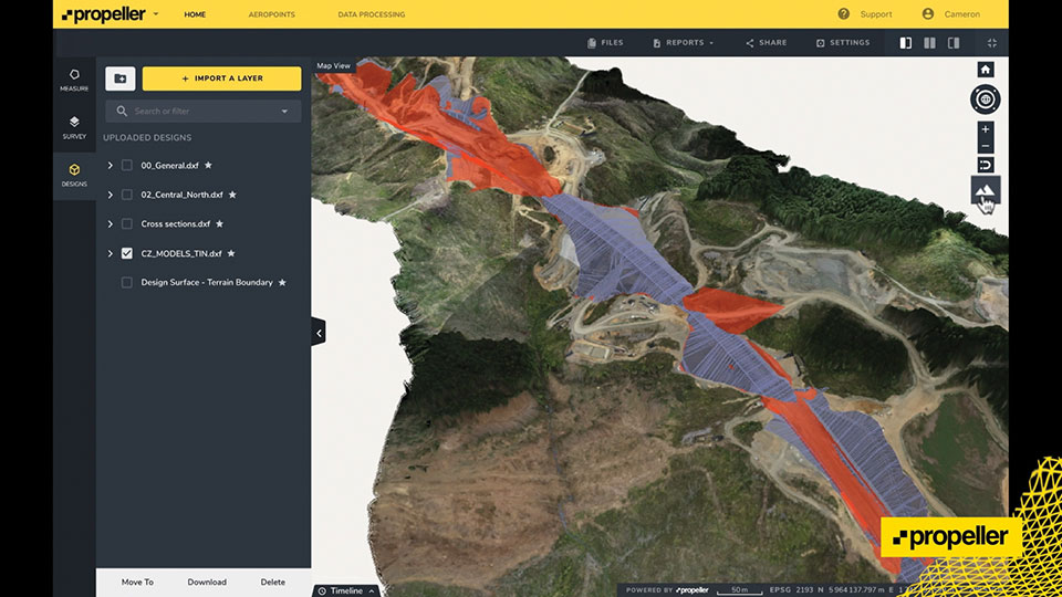
As an alternative, Wills Bros is using Propeller PPK, a drone surveying workflow that combines DJI’s Phantom 4 RTK drone; AeroPoints’ “smart” ground-control points; offloaded data processing; and the Propeller Platform software that allows measuring of the site using 3D models generated from drone images. Wills Bros also is using Trimble Stratus for cloud-based drone survey processing, visualization and analytics with Propeller Platform.
Wills Bros was able to collect an initial earthwork takeoff of the Maybole project area in a fraction of the time.
“Savings on labor costs alone have been considerable given the fact that on so many occasions we can now obtain detailed project data within a second rather than sending a man on site to survey for information,” Wills said. “The drone comes in a backpack and is up in the air doing its thing within minutes. From the outset, the time savings are immense.”
Once the drone and ground-control data are uploaded, Propeller transforms them into a 3D terrain model that can be measured in the cloud-based Propeller Platform.
The Maptitude 2021 ZIP Code Business Count data are available now. The update includes the total number of businesses by type (by six-digit North American Industry Classification System or NAIC” codes, formerly known as SIC codes).
For each business type (for instance, full-service restaurants), users can map the number that fall into each employment size category (for instance, full-service restaurants with 1-4 employees, full-service restaurants with 1000+ employees, etc.).
These data are useful for businesses and market research analysts because they allow analysis of market potential, measuring the effectiveness of sales and advertising programs, setting sales quotas, and developing budgets. Government agencies use the data for administration and planning.
The ZIP Code Business Count data are free for Maptitude 2021 users, and is also available as shapefile, KML, KMZ or GeoJSON for a fee.
A new map detailing the location, height and canopy for trees more than 3 meters in height is helping Sevenoaks District Council manage its iconic ancient trees and natural woodland.
Derived from Bluesky’s National Tree Map, which provides geospatial intelligence for more than 300 million trees across the United Kingdom, the data has already been used to create a district-wide map of tree cover, to create 3D visualizations to inform development decisions, and to support planning enforcement investigations.
Sevenoaks District Council originally purchased National Tree Map data from Bluesky in November 2019, and the data is widely used across the council with specific applications in planning.
Updated this year, the original and new tree-map layers are stored in the council’s GIS alongside multiple years of aerial photography, Ordnance Survey maps, data such as Ancient Woodland and Biodiversity Opportunities, and council data including Tree Preservation Orders and Planning Applications. The tree data is accessible to all staff via the council’s intranet mapping system GISMO (GIS Online).
The name Sevenoaks (the name given to the town and more recently to the district) dates to circa 800 A.D. and is thought to be derived from “Seouenaca,” the name given to a small chapel near seven oak trees. Records of these trees through the ages are sparse; it is not until the 19th century when a group of seven trees appears on an Ordnance Survey map.
The eponymous oak trees have been replaced many times over the years, including the planting of seven oaks to commemorate the coronation of Edward VII in 1902 and tree planting by personnel from the Canadian Air Force in 1947 in gratitude for being billeted in the town.
Bluesky’s National Tree Map is created using innovative algorithms and image processing techniques in combination with the most up-to-date and detailed aerial photography, terrain and surface height data, and color infrared imagery.
In addition to the three vector map layers — Crown Polygons, Idealised Crowns and Height Points — the Bluesky National Tree Map also includes an attribute table with unique identification for each crown feature, height attributes and area calculations.
A new blog offered by Inertial Labs discusses the scope of work to turn lidar point-cloud data collection into actionable deliverables. The blog, “Providing Actionable LiDAR Point Cloud Deliverables and the Inertial Labs RESEPI” by Luke Wilson, is also available as a downloadable PDF.
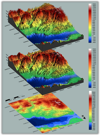
A digital terrain model, a digital surface model, and a digital elevation model (from top). (Image: Inertial Labs)
The blog introduces lidar and creation of point clouds, then discusses the use of GPS-aided inertial navigation systems (INS). “A lidar point cloud is the product of sensor fusion across a GPS-aided INS and a lidar scanner. Each sensor plays a critical role in how a lidar payload functions and the applicability of its point cloud output,” explains Wilson.
Wilson describes complications with converting datum reference frames, both traditional and reference ellipsoid such as WGS84. He also discusses projected coordinate systems. He concludes with analysis of the data using point classification — the foundation to create models including digital terrain, surface and elevation models (DTM, DSM and DEM respectively).
Finally, Wilson explains how Inertial Labs’ RESEPI is a quick and efficient way to generate models of an environment, including in fields such as construction and utility management.
RESEPI stands for REmote SEnsing Payload Instrument, Inertial Labs’ complete multiplatform, multisensor lidar and RGB payload solution for such remote sensing applications.
Photo: U.S. Army/Spc. Brooke Davis, Operations Group, National Training Center
BAE Systems has unveiled its ultra-small MicroGRAM-M GPS receiver that receives the new M-code military GPS signals resistant to jamming and spoofing.
About the size of a postage stamp, MicroGRAM-M is a small, lightweight and power-efficient M-code embedded GPS receiver, capable of delivering assured positioning, navigation and timing (PNT) for size-constrained and other micro-applications.
“We’re delivering reliable PNT where our customers need it — from soldiers’ handheld devices to small unmanned aerial vehicles,” said Greg Wild, director of Navigation and Sensor Systems at BAE Systems. “MicroGRAM-M provides our armed forces and allies with a low-SWAP M-code GPS solution that’s resistant to adversaries’ disruption efforts in highly contested environments.”
MicroGRAM-M features rapid, secure GPS signal acquisition, enhanced security and resiliency, anti-jamming and anti-spoofing capabilities, and very low power consumption for an M-code device. The 1.0 x 1.25 x 0.275-inch MicroGRAM-M has the same physical dimensions as its predecessor, enabling quick upgradability to M-code and reduced system integration costs. At its core is a proven, tamper-proof M-code Common GPS Module that encapsulates classified data and signal processing.
“MicroGRAM-M is the latest BAE Systems M-code military GPS product, joining MPE-M and NavStrike-M, which deliver enhanced awareness in highly contested environments and precision munitions guidance,” said John Watkins, vice president and general manager of Precision Strike & Sensing Solutions at BAE Systems. “Qualification of MicroGRAM-M is underway, with full-rate production expected in 2022.”
Delivering M-code User Equipment to Germany
On June 29, BAE Systems received the first contract from the Space and Missile Systems Center’s Space Production Corps to deliver M-code military GPS user equipment to Germany. Under a Foreign Military Sales contract, the company is delivering the advanced M-code GPS technology to Germany, enabling precise, resilient, and secure geolocation and positioning capabilities that improve the effectiveness of allied operations.
The German FMS order focuses on BAE Systems’ Miniature PLGR Engine — M-code (MPE-M), which delivers precise positioning, navigation and timing capabilities; anti-jamming and anti-spoofing capabilities; a modern security architecture; and a size suitable for space-constrained applications.
BAE Systems will provide the first MPE-M receivers to Germany for integration, test and evaluation in 2021. Work on the program will be performed at BAE Systems’ facilities in Cedar Rapids and Coralville, Iowa.
DroneShield Ltd. has released CompassOne, a self-contained navigation solution for fixed site, vehicle and marine applications.
The device provides real-time military-grade location, orientation and direction sensing for deployed static and on-the-go assets. The device can be used both in counter UAS systems and general situations requiring satellite navigation.
With a strong focus on durability and ruggedness, CompassOne is suitable for installation and operation in harsh environments. Military-grade (MIL-SPEC) connectors and high-end stainless-steel hardware ensure uninterrupted connection and protection from the elements, while the aluminium underside provides exceptional impact resistance and rigidity while keeping overall weight low.
CompassOne can operate stand alone or integrate with DroneShield’s DroneSentry system. Power over Ethernet reduces cable clutter and VESA compatibility makes CompassOne easy to integrate into new or existing systems. Installation is clear and fast with status LEDs, installation graphics and tool-less fasteners.
“CompassOne, with its ruggedness and incorporation of advanced technologies, integrates seamlessly within DroneShield’s product ecosystem, and equally with third party systems as a stand-alone product,” said Oleg Vornik, DroneShield CEO. “Its accurate navigation is substantially superior to other systems on the market globally.”
The product is expected to be of interest to both counterdrone and other customers requiring a rugged navigation solution.
In 2019, the City of Hobart Sanitary and Stormwater District (HSD) in Hobart, Indiana, recognized the benefits of geospatial technology and location intelligence to transform the city. HSD reached out to Geographic Technologies Group (GTG) to write and implement a geographic information system (GIS) strategic plan.
GTG is one of the world’s leading local government GIS companies, working to advance the science of location intelligence and geospatial technology. GTG built a GIS strategic plan for HSD using high-resolution aerial imagery from Nearmap to help build on the city’s need to deliver geospatial data to customers.
“Our content integrates easily with GTG’s applications and acts as a valuable component to their strategic planning services,” said Karl Terrey, director, Global Alliances at Nearmap. “Our imagery is refreshed multiple times per year and when combined with GTG’s technology allows governments to make decisions based on conditions in their communities in near-real-time.”
Image: Geographical Technologies Group
Before GTG, HSD was maintaining a GIS viewer web app that was not user friendly, and thus underutilized.
HSD leaders recognized the need for an interface that would serve the district as well as other city departments while being easy to navigate. Nearmap’s technology corrected this, by equipping users with controls that were customized to address all the needs of its users.
Image: Geographical Technologies Group
“Our goal has always been to solve problems, and introduce a new kind of decision support for our clients,” said James Kelt, VP of Corporate Software at GTG. “Our clients love the imagery and the more we worked with Nearmap, the more we’ve been able to provide this added value to our customers.”
With the help of the user-friendly ArcGIS Hub, where citizens could access GIS tools, and GTG’s new program, the city of Hobart gained greater citizen engagement that allowed them to find information for themselves.
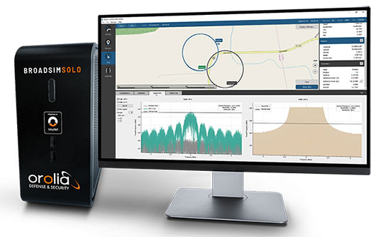
The Solo joins the BroadSim line of Skydel-powered GNSS simulators, which includes models suited for hardware-in-the-loop and multi-element antenna/controlled reception pattern antenna (CRPA) testing.
Live demonstrations of BroadSim Solo are taking place in the JNC Exhibit Hall at Orolia Defense & Security booth No. 117 through Aug. 26. Orolia provides M-code solutions for resilient positioning, navigation and timing.
BroadSim Solo shares the same Skydel simulation engine that runs on a standard BroadSim, BroadSim Anechoic and BroadSim Wavefront. It supports advanced scenario creation features and the benefits provided by a software-defined architecture such as high dynamics, a 1000-Hz iteration update rate and ultra-low latency of 5 ms.
Photo: Orolia
Nearly all civilian GNSS signals can be generated through the Solo’s single RF output (one frequency band at a time), along with jamming or spoofing signals, and GPS AES M-code. AES is an encryption method; rather than using the MNSA encryption, it is possible to use AES for testing purposes only.
BroadSim Solo’s compact form factor is designed to do away with bulk, fitting comfortably at a typical desk or workstation. Plus, the Solo addresses the permanent challenge engineers face with laboratory capacity and availability.
“Creating complex test scenarios can be a tedious process, especially when emulating challenged environments,” said Tim Erbes, director of engineering for Orolia Defense & Security. “Having the ability to create scripts at your desk significantly frees up lab time and space for running these important simulations. Also, scenario creation is no longer limited to one person fixed to one system. Imagine a team of engineers, each with a BroadSim Solo, simultaneously building tests. Having a whole fleet of BroadSim Solos? It’s game-changing.”
BroadSim Solo with the Skydel simulation engine offers an intuitive user interface, a comprehensive API supporting Python, C++ and C#, and automation tools and custom plugins that will speed up development cycles, increase performance and ultimately drive innovation.
“In an effort to enhance the customer experience and expand the reach of advanced GNSS simulators, we wanted to offer an affordable solution with all of the same core features as our most advanced BroadSim systems,” said Tyler Hohman, director of products for Orolia Defense & Security. “This gives our customers the opportunity to place more simulators in the hands of engineers and scientists without sacrificing capabilities. Our hope is that customers will find value in having a simulation ecosystem that is scalable based on their requirements.”
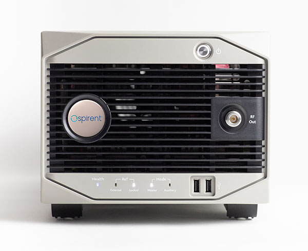
Spirent Federal has launched an alternative RF navigation simulator. As GPS jamming and spoofing continue to rise, interest in complementary sources of positioning, navigation and timing (PNT) data has likewise increased.
Recent government directives recommend a layered, multi-source approach, with much of the attention focused on non-GNSS radio frequency signals. These RF signals, coined alternative RF navigation, offer unique PNT capability in GPS-degraded or denied environments. The signals are secure and resilient and can act as an effective complement to GPS signals.
Spirent Federal’s product can simulate resilient alternative RF navigation signals on its own or concurrently with GNSS signals. Testing can be static or dynamic, with stationary, pedestrian and ground vehicle trajectories available.
“As a result of our extensive research and development incorporating a variety of assured PNT technologies, we’re pleased to be the first to provide this capability to our customers,” said Roger Hart, director of engineering. “Our product enables developers to test early and often, from the first stages of R&D to integration and field testing. Solutions can be tested with edge cases, hardened against interference, and deployed faster with greater confidence they will work for our warfighters.”
Spirent is actively engaged with several alternative RF navigation technologies and technology providers to incorporate signal simulation capability. To learn more, contact Spirent Federal to discuss fielded configurations.
A U.S. Marine Corps radio operator grounds an during long-range HF radio training in Kuwait Oct. 7, 2020. (Photo: U.S. Marine Corps/Capt. Joshua Hays)
Collaboration with Xona Space Systems
Spirent Federal Systems also announced that it is collaborating with Xona Space Systems to develop simulation and test capabilities for Xona signals produced by small satellites (smallsats) operating in low Earth orbit (LEO). Xona is a San Mateo-based startup developing a smallsat constellation for a dedicated PNT service.
Xona’s patent-pending approach using small satellites in LEO is intended to improve global PNT resilience and accuracy by both enhancing GNSS and operating as an independent system. Xona’s high-power signals utilize advanced signal structure and security techniques, improving jamming and spoofing resistance as well as multipath mitigation.
“We do all we can to protect, toughen, and augment PNT and are eager to work with emerging companies like Xona who are developing a next-gen navigation and timing architecture,” said Jennifer Smith, senior director of Business Development at Spirent Federal. “Our simulators provide critical support to developers and integrators by enabling testing and validation before the product deploys.”
The space and defense sectors also benefit from Spirent Federal’s expertise in generating high fidelity RF signals using quadrature (I/Q) data. Spirent test tools allow the full customization of I/Q data. Customers can generate unique I/Q data corresponding to experimental modulation schemes and use Spirent Federal’s signal generation capabilities to create the corresponding RF. Such rapid prototyping allows for quick turnaround times and shorter iteration cycles.
Alternatively, scenarios created using Spirent Federal’s proprietary SimGEN software can be saved as I/Q data which can be processed by software-implemented receivers.
“Building a new generation of satellite navigation and timing services goes far beyond just the satellites,” said Brian Manning, CEO of Xona Space Systems. “It requires building an entire ecosystem from ground stations to chipset manufacturers to end users and systems integrators. Having reliable and trusted simulation capabilities is critical to support all of these areas which is why we are thrilled to be working with Spirent to provide a robust solution to our partners.”
NV5 Geospatial has acquired the new Riegl VMX-2HA dual-scanner mobile mapping system. The system will initially deploy in utility and transportation projects and enable NV5 Geospatial to collect highly accurate, feature-rich data at highway speeds.
The flexibility, ease of setup, and smaller footprint will also allow the use of the VMX-2HA on various platforms, including boats, all-terrain vehicles and trains.
The VMX-2HA delivers mobile point clouds at a resolution of 1,000 to 4,000 points per square meter (pops) and 0.08-foot vertical accuracy in terms of 95% confidence intervals. It also features a high-speed 10 GigE link, which supports reliable data acquisition of up to 2 million measurements per second and image data from all integrated cameras.
NV5 Geospatial will launch the VMX-2HA as part of a mapping project for a large U.S. utility company and implement it for work being done for the U.S. Department of Transportation.
A roundup of recent products in the GNSS and inertial positioning industry from the July 2021 issue of GPS World magazine.
OEM
GNSS/INS Sensors
Photo: Septentrio
Five receivers in new product line
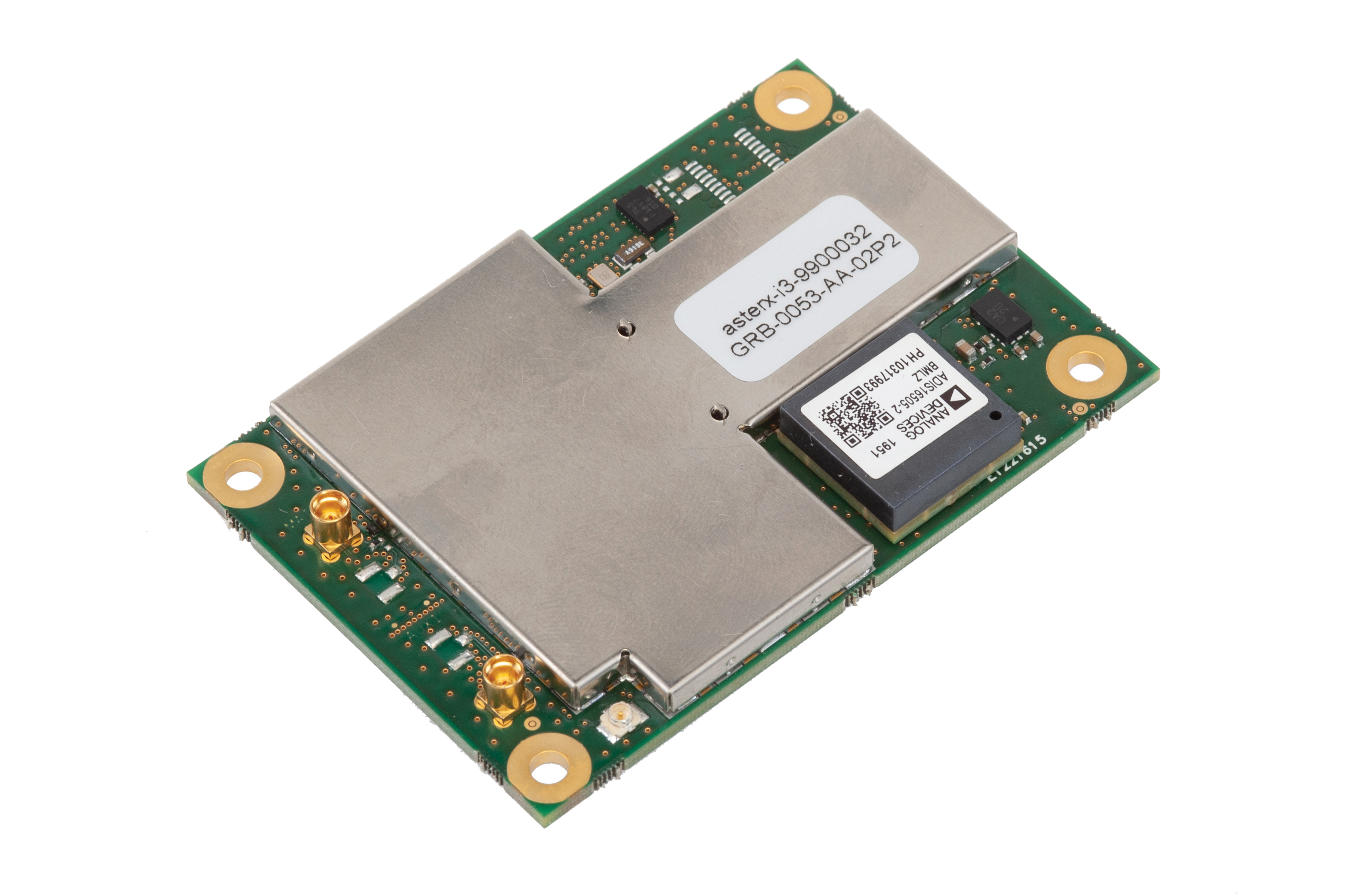
The AsteRx-i3 product family provides an array of next-generation receivers, from plug-and-play navigation solutions to feature-rich receivers with raw measurement access. Included are OEM boards and ruggedized receivers enclosed in a waterproof IP68 housing. The Pro receivers offer high accuracy positioning with 3D orientation and dead-reckoning for plug-and-play integrations. Pro+ receivers provide integrated positioning and orientation along with raw measurements, in single- or dual-antenna configurations, suitable for applications with sensor fusion. One of the receivers offers an off-board inertial measurement unit (IMU), which can be mounted exactly at the alignment point of interest.
The RES 720 GNSS dual-frequency embedded timing module provides next-generation networks with 5-nanosecond accuracy. It uses L1 and L5 GNSS signals to provide superior protection to jamming and spoofing, mitigates multipath in harsh environments, and adds security features to make it suitable for resilient networks. At 19 x 19 millimeters, the RES 720 is suitable for 5G Open Radio Access Networks (RAN)/XHaul, smart grids, data centers, industrial automation and satellite communication networks, as well as calibration services and perimeter monitoring applications.
The new HG1125 and HG1126 IMUs are low-cost inertial measurement units that serve both commercial and military applications. They use sensors based on micro-electromechanical systems (MEMS) technology to precisely measure motion. They can survive shocks up to 40,000 G-force. The HG1125 and HG1126 can be used for a variety of defense and commercial applications, such as tactical military needs, drilling, unmanned aerial vehicles or navigation systems for general aviation aircraft.
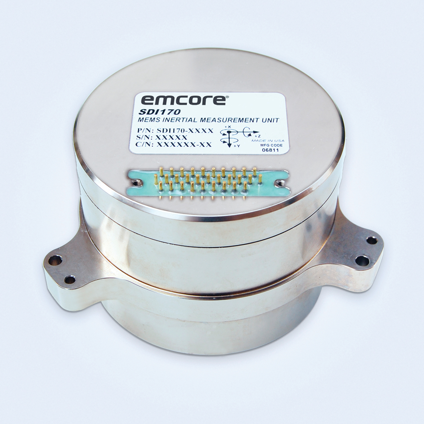
The SDI170 quartz MEMS tactical-grade IMU is designed as a form-, fit- and function-compatible replacement for the HG1700-AG58 ring-laser gyroscope (RLG) IMU, but with superior overall performance, versatility and a significantly higher mean time between failures (MTBF) rating over ruggedized environments. The SDI170 IMU delivers highly linear accelerometer performance and longer life compared to the HG1700 IMU.
The OSA 5405-MB is a compact outdoor precision time protocol (PTP) grandmaster clock with a multi-band GNSS receiver and an integrated antenna. It ensures timing accuracy by eliminating the impact of ionospheric delay variation, enabling communication service providers and enterprises to deliver the nanosecond precision needed for 5G fronthaul and other time-sensitive applications. A multi-constellation GNSS receiver and antenna enable the OSA 5405-MB to meet PRTC-B accuracy requirements (+/–40 nanoseconds) even in challenging conditions. It receives GNSS signals in two frequency bands, using the differences between them to calculate and compensate for ionospheric delay variation. The OSA 5405-MB is resilient against jamming and spoofing, considered critical for 5G synchronization. It can work with up to four GNSS constellations concurrently (GPS, Galileo, GLONASS and BeiDou).
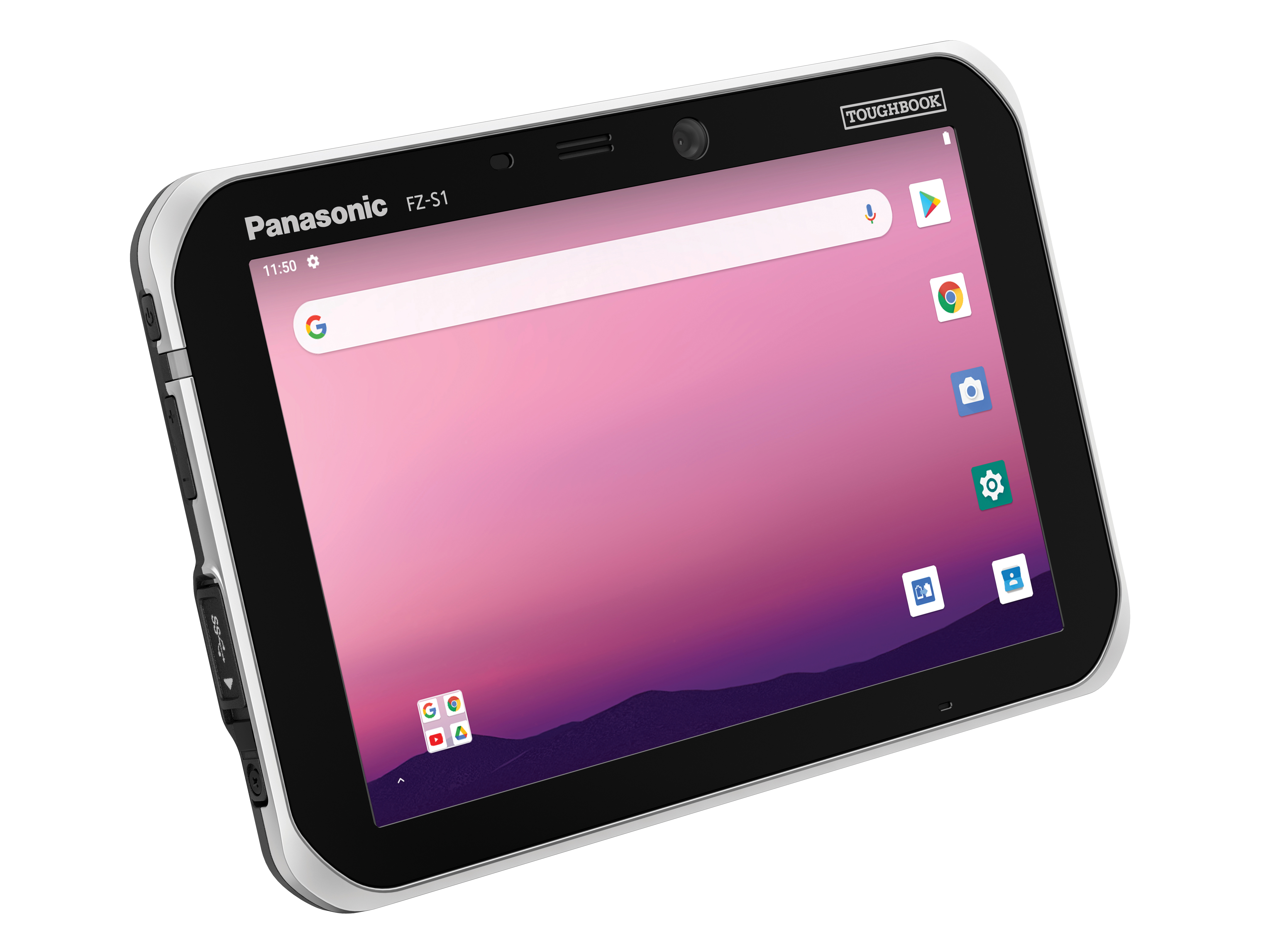
The Toughbook S1 is a fully rugged 7-inch Android tablet for capturing and accessing critical information in the field. GPS and LTE come optionally. The tablet is supported by Productivity+, a comprehensive Android ecosystem that enables customers to develop, deploy and sustain the Android OS environment in the enterprise. The Toughbook S1 tablet’s compact, rugged and lightweight body is made for portability and reliability for field workers. It has a 14-hour battery life and warm swap battery. Features include a sleek outdoor-readable anti-reflection screen, patented rain mode and multi-touch performance whether using a stylus, finger or glove.
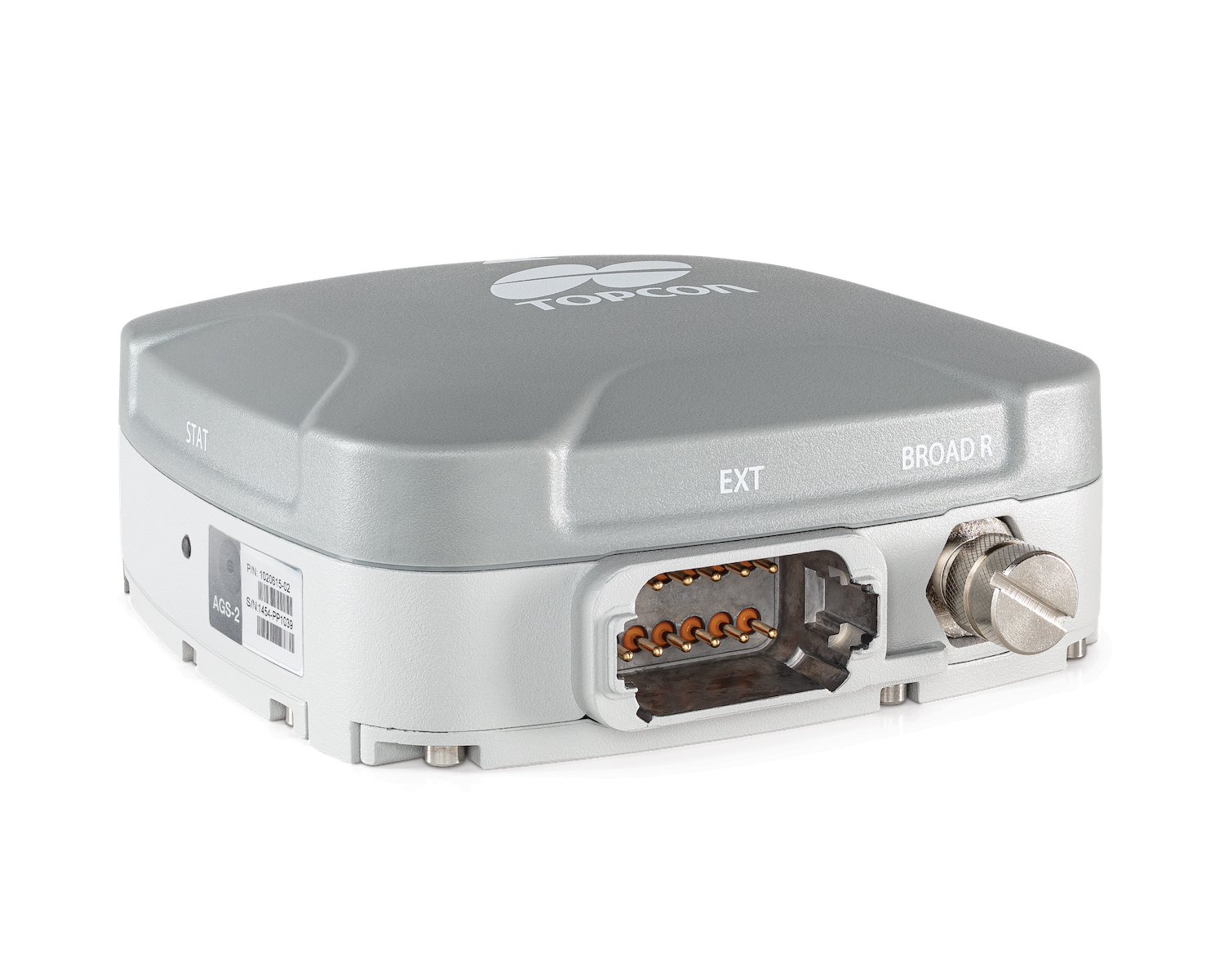
The AGS-2 and AGM-1 are manual guidance and autosteering receivers. Location data enable crop optimization, including soil preparation, seeding, crop care and harvesting. Designed to suit virtually any agricultural machine type, make and model, the AGS-2 receiver and steering controller combines steering with network reception and tracking. It comes standard with DGNSS correction services and is upgradeable using NTRIP and an optional RTK radio in the Topcon CL-55 cloud connectivity device. The AGM-1 is offered as an economical entry-level manual-guidance receiver.
Provides fast data processing for construction and surveying
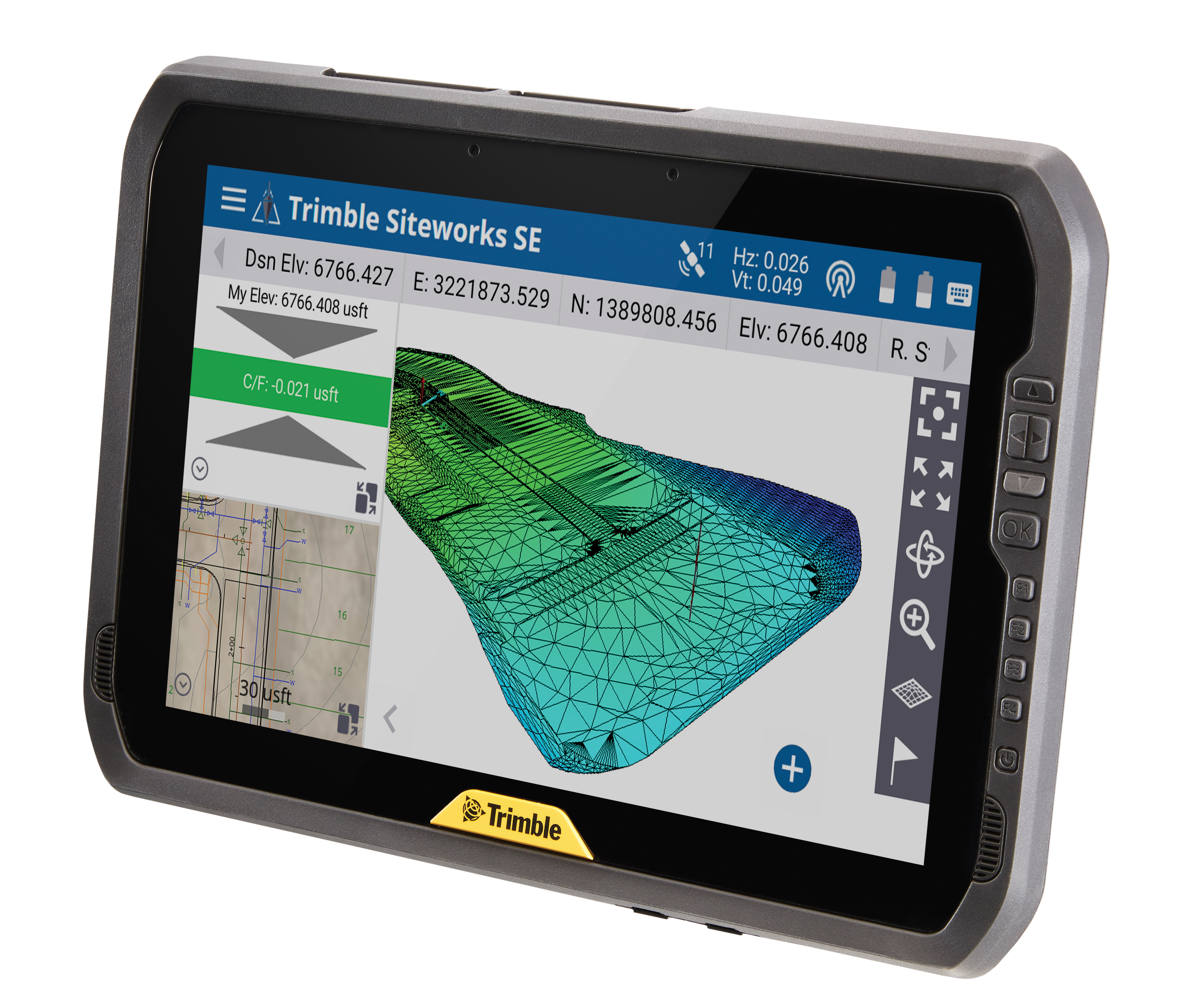
The Trimble T100 high-performance tablet is suitable for both experienced and novice users. It is optimized for Trimble Siteworks Software and supporting office applications such as Trimble Business Center. Its accessories are designed to complement user workflows, enabling users to complete quality assurance and quality control before leaving the field. The tablet is designed to be flexible and usable in a variety of configurations and job sites. It is engineered to be ergonomic and portable on and off the pole. Features include a 10-inch (25.4 cm) sunlight-readable touchscreen display, a directional keypad with programmable function keys and a 92-Wh internal battery.
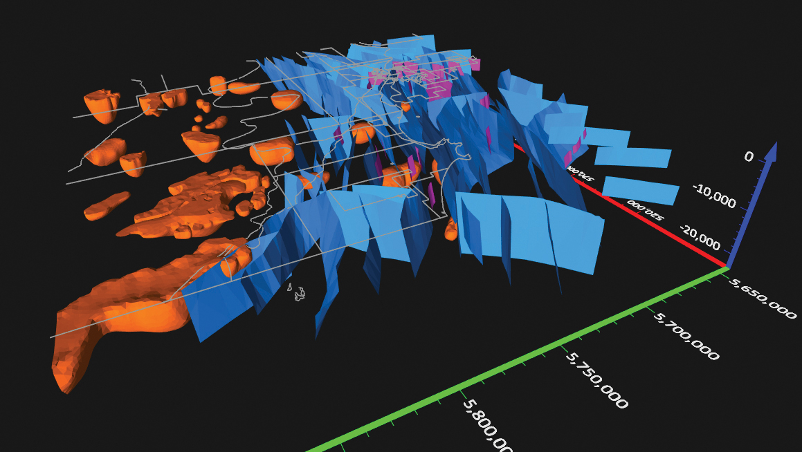
Surfer has new gridding, contouring and surface mapping software to make it easier for users to visualize, display and analyze complex 3D data. Surfer enables users to model data sets, apply an array of advanced analytics tools, and graphically communicate the results. The scientific modeling package is used in oil and gas exploration, environmental consulting, mining, engineering and geospatial projects. Enhancements have been made to 3D Base Maps, Contour Volume/Area Calculation, 3D PDF Exporting Options and automated features for creation of scripts and workflows.
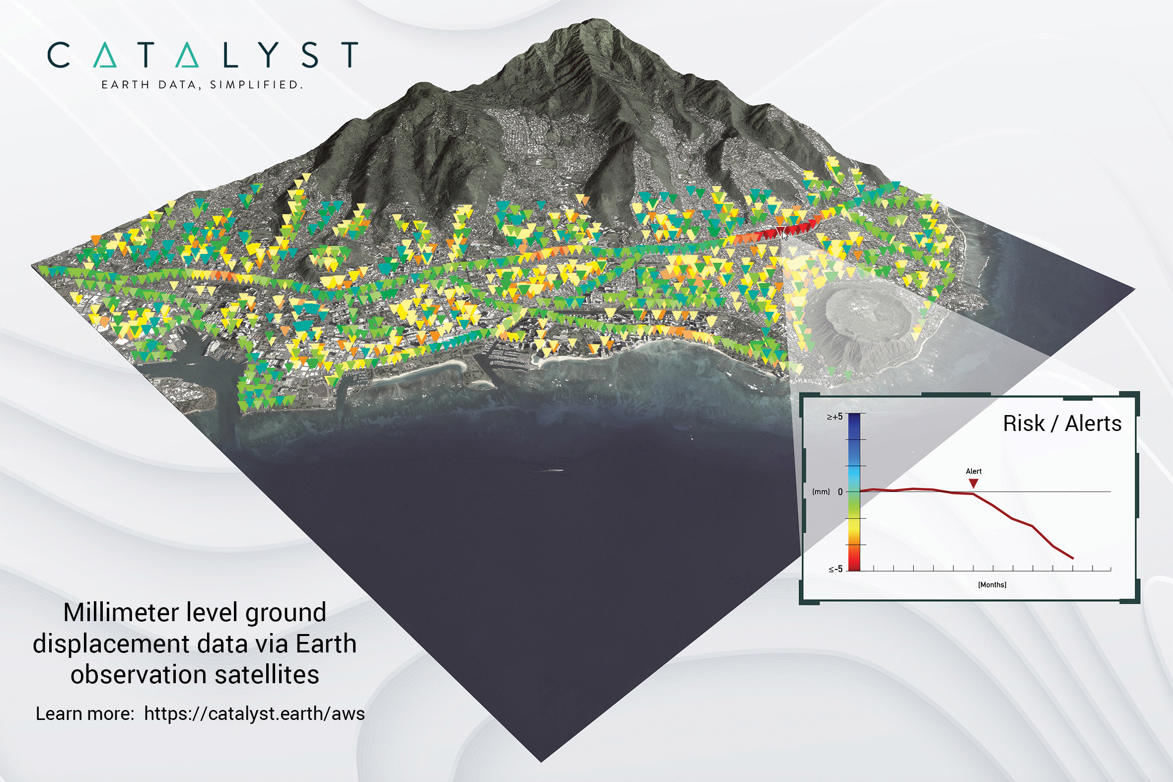
A Catalyst-AWS collaboration delivers actionable geoscience analytics to users, providing satellite-based Earth observation intelligence. The data and analytics are delivered via Amazon Web Services (AWS) Cloud. Catalyst is a PCI Geomatics brand. The initial solution, available through AWS Data Exchange, is an infrastructure risk-assessment service that uses satellite data to continuously monitor millimeter-level ground displacement over a subscriber’s area of interest anywhere on Earth. Catalyst is exploring additional risk mitigation solutions and monitoring services using AWS. Having image processing science and imagery on the cloud reduces latency and costly data transfers.
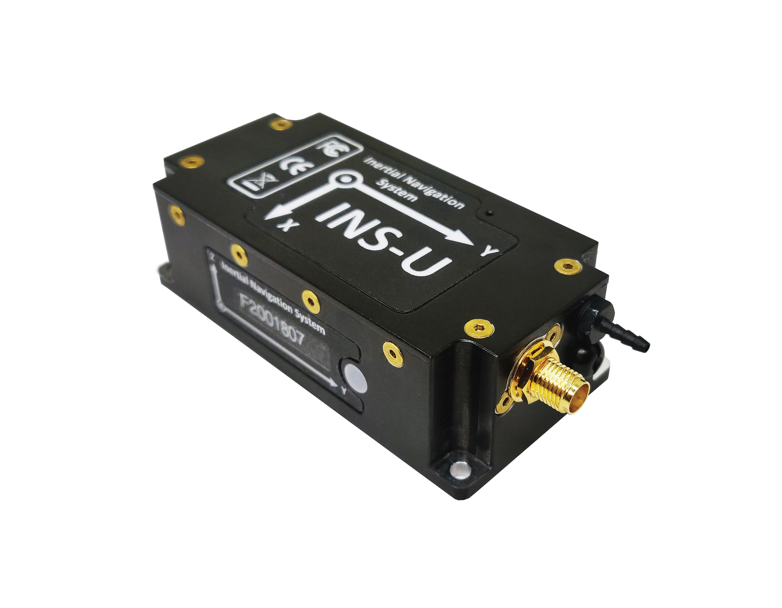
The GPS-aided INS-U is a fully integrated attitude and heading reference system (AHRS), IMU and air-data computer high-performance strapdown system that determines position, navigation and timing information for any device on which it is mounted. The INS-U uses a single antenna, multi-constellation u-blox GNSS receiver. With access to GPS, GLONASS, Galileo, QZSS and BeiDou, the INS-U can be used in a variety of GPS-enabled environments and is protected against spoofing and jamming. The INS-U has two barometers, a miniature gyro-compensated fluxgate compass, and tri-axis temperature-calibrated advanced MEMS accelerometers and gyroscopes. These high-performance sensors, along with Inertial Labs’ new on-board sensor-fusion filter, and state-of-the-art guidance and navigation algorithms, provide accurate position, velocity and orientation of the device under measurement.
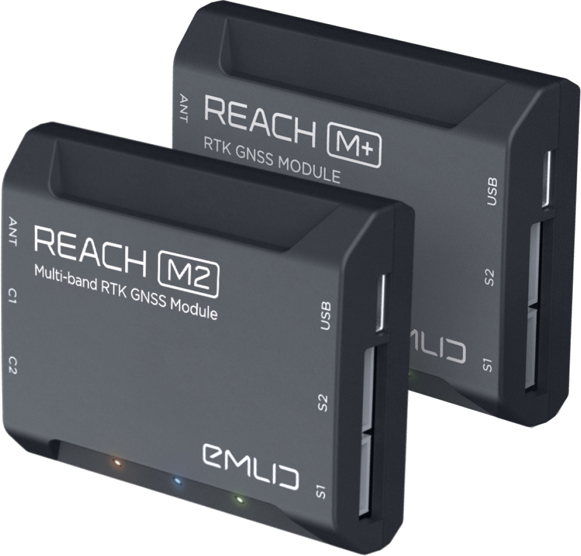
The Reach M+ and Reach M2 positioning modules for UAV mapping provide centimeter-level accuracy in real-time kinematic (RTK) and post-processed kinematic (PPK) modes, enabling precise UAV mapping with fewer ground control points. The Reach M+ single-band receiver has a baseline up to 20 kilometers in PPK. The Reach M2 is a multi-band receiver with a baseline up to 100 kilometers in PPK. Reach connects directly to a camera’s hot-shoe port and is synced with the shutter. Time and coordinates of each photo are logged with a resolution of less than a microsecond. Reach captures flash sync pulses with sub-microsecond resolution and stores them in a raw data RINEX log in the internal memory. This method allows ground control points to be used only to check accuracy.
System simplifies drone inspection missions, deliveries
The Dronehub is an automated solution that can provide undisturbed drone service 24/7 in nearly any weather condition. With the integration of IBM artificial intelligence technology, Dronehub solutions can operate and automatically provide information with little human interaction. The system includes the drone and a docking station with automatic battery replacement. It can fly for 45 minutes in +/–45° C weather, up to 35 km in winds up to 15 m/s. It can carry a payload up to 5 kg as far as 15 km. It can be used for monitoring, inspection and measurement; cargo transport and parcel deliveries; and mobile ground infrastructure; and security.
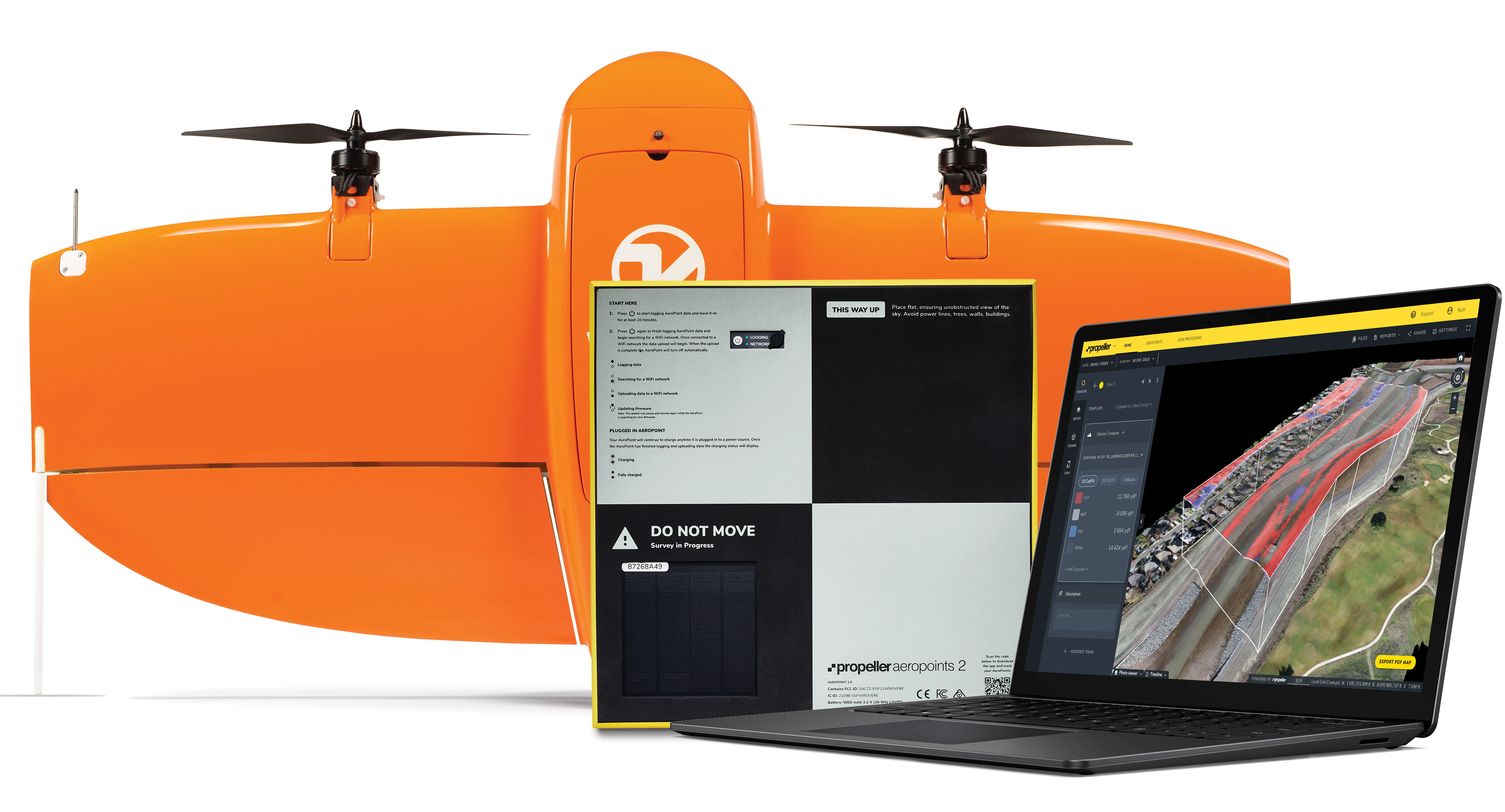
The Propeller Platform and WingtraOne drone package enable construction professionals to collect survey-grade data across the worksite consistently and accurately. To operate, surveyors place Propeller AeroPoints (smart ground-control points) on their worksite, and then fly the WingtraOne drone to collect worksite survey data. Survey images are uploaded to Propeller’s cloud-based platform, where the fully automated geotagging and photogrammetry processing is completed within 24 hours of submission on the platform. Uses include mines, road and railway projects, highways and industrial complexes. Data collection with AeroPoints and Propeller PPK can serve as a reliable, single source for survey data and progress. Teams across the entire worksite can view geographically accurate and realistic 3D site models and track, inspect and report on job progress and productivity safely and accurately.
Stamp-sized module provides RTK positioning and heading
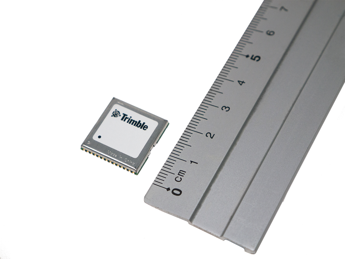
The PX1122R is a high-performance multi-band quad-GNSS real-time kinematic (RTK) receiver featuring 1 cm + 1 ppm position accuracy and under 10-second RTK convergence. It has a 12 x 16 millimeter form factor, about the size of a postage stamp. It can be configured for a base or a rover, and supports a moving base RTK for precision heading applications. The PX1122R has a maximum quad-GNSS RTK update rate of 10 Hz, providing a quick response time and more stable performance for fast-moving precision guidance applications.
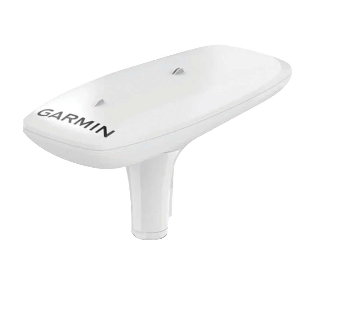
Utilizing both L1 and L5 GPS frequencies, along with multi-constellation support (GPS, Galileo, GLONASS and BeiDou), the MSC 10 marine satellite compass provides precise positioning and heading accuracy within 2 degrees. Its 10-Hz position update rate delivers detailed tracking information. It eliminates magnetic interference, which can degrade heading accuracy. The MSC 10 is easy to install and can be used as the primary position and heading sensor across multiple systems, including autopilots. If the satellite signal is lost, it will transition from GPS-based to a backup magnetometer-based heading.
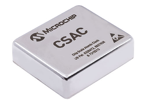
New SA65 CSAC provides wider operating temperatures, faster warm-up and improved frequency stability in extreme environments
Photo: Microchip Technology
Microchip Technology Inc. is offering the new SA65 chip-scale atomic clock (CSAC), providing precise timing accuracy and stability in extreme environments. Designed for military and industrial systems, the Microchip’s SA65 CSAC features ultra-high precision and low power consumption
Advanced military platforms, ocean-bottom survey systems and remote-sensing applications all require precise timing. CSACs ensure stable and accurate timing even when GNSS time signals are unavailable, thereby helping industrial and military system designers to meet timing requirements.
Microchip’s SA65 CSAC is an embedded timing solution with improved environmental ruggedness, delivering higher performance than the previous SA.45s CSAC, including double the frequency stability over a wider temperature range and faster warm-up from cold temperatures. The SA65 has an operating temperature range of –40 to 80 °C and a storage temperature range of –55 to 105 °C. The warm-up time of two minutes at –40 °C is 33% faster than that of the SA.45s.
These performance improvements benefit designers of highly portable solutions for military applications such as assured positioning, navigation and timing (A-PNT) and C5ISR (command, control, communications, computers, cyber, intelligence, surveillance and reconnaissance). It meets precise frequency requirements of a low size, weight and power (SWaP) atomic clock. Improvements such as fast warm-up to frequency after cold start, temperature stability over a wide operating range, and frequency accuracy and stability enabling extended operation while GNSS is denied help to ensure mission success in conflict environments.
The SA65 CSAC provides precise timing for portable and battery-powered applications requiring continuous operation and holdover in GNSS-denied environments. The SA65 is form-, fit- and function-compatible with the SA.45s, which minimizes risk and redesign costs for the system developer while improving performance and environmental insensitivity.