VectorNav Technologies
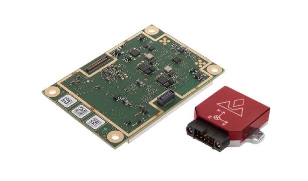
VectorNav designs and manufactures three different product types:
- Inertial measurement unit / altitude heading reference System (IMU/AHRS)
- GPS-aided inertial navigation system (GPS/INS)
- GPS/INS with built-in GPS-compass (dual GNSS/INS).
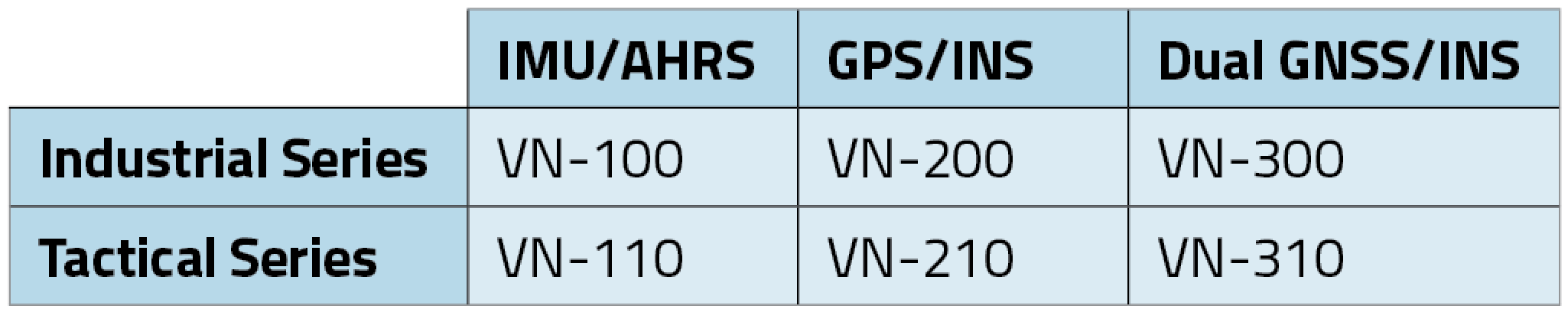
Each product type is offered in two performance categories, Industrial and Tactical Grade, which is an indication of the quality of the IMU core.
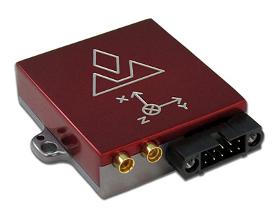
Product Models
Key Product Features
Industrial Series:
- High-performance in SWaP-C optimized packaging
- 5˚/hr typical in-run gyro bias stability
- 0.3˚ RMS heading, 0.1˚ pitch & roll
- Miniaturized surface mount (OEM) and rugged packaging
- Serial TTL, SPI and USB communication interfaces
- < 30 grams
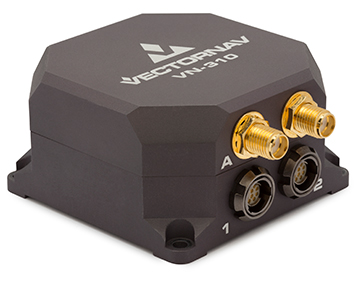
Tactical Series:
-
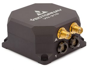
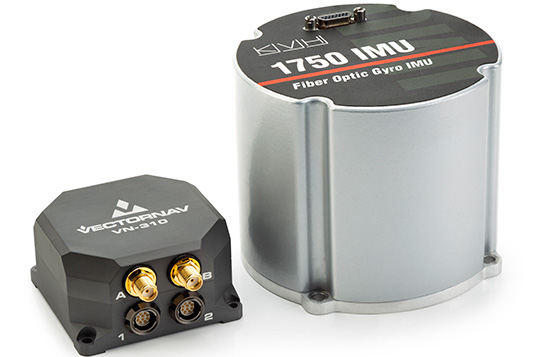
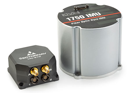
The VectorNav VN-310. Tactical-grade performance in ruggedized enclosures
- < 1˚/hr in-run gyro bias stability
- < 2 mrad attitude performance
- IP68-rated enclosure designed to meet DO-160G
- Support for external GPS/GNSS or IMUs
- < 200 grams
All VectorNav products:
- incorporate VectorNav’s robust inertial navigation algorithms
- are individually calibrated across full temperature range (–40 C to +85 C)
- share a common communication protocol across all products
- offer sync-in and sync-out functionality and GPS PPS
- ship worldwide on short lead times (1–2 business days)
- are supported directly by VectorNav’s team of applications engineers, business and production teams, and domestic and international representatives
- are produced at VectorNav’s AS9100 certified facility
- are made in the U.S. and ITAR-free.
www.vectornav.com
[email protected]
10501 Markison Road
Dallas, TX 75218 USA
NovAtel
PwrPak7D-E1
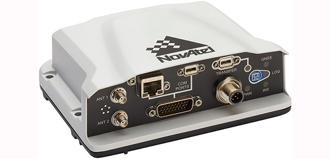
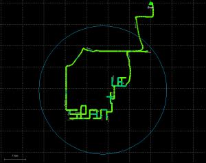
The PwrPak7D-E1 is a robust, high-precision receiver that has multi-frequency, dual-antenna inputs and provides GNSS multi-constellation heading and position data. These capabilities make the PwrPak7D-E1 suitable for ground vehicle, marine or aircraft-based systems. NovAtel’s Synchronous Position, Attitude and Navigation (SPAN) technology brings together GNSS positioning and inertial navigation to provide an exceptional 3D navigation solution that is stable and continuously available. The PwrPak7D-E1 has a powerful OEM7 GNSS engine, integrated Epson G320N micro electromechanical (MEMS) inertial measurement unit (IMU), built-in Wi-Fi and 16 GB of internal storage.
Key Product Features
- SPAN-enabled enclosure featuring NovAtel’s tightly coupled GNSS+INS engine
- Enhanced connection options including serial, USB, CAN and Ethernet
- 555-channel, all-constellation, multi-frequency positioning solution
- Multi-channel L-band supports TerraStar correction services
- Onboard NTRIP client and server support
- Multiple communication interfaces for easy integration and installation
- Built-in Wi-Fi support
- 16 GB of internal storage
- ALIGN heading solution
Signal Tracking
Primary RF
- GPS (L1 C/A, L1C, L2C, L2P, L5)
- GLONASS (L1 C/A, L2 C/A, L2P, L3, L5)
- BeiDou (B1, B2)
- Galileo (E1, E5 AltBOC, E5a, E5b)
- NavIC/IRNSS (L5)
- SBAS (L1, L5)
- QZSS (L1 C/A, L1C, L2C, L5)
- L-Band (up to 5 channels)
Secondary RF
- GPS (L1 C/A, L1C, L2C, L2P, L5)
- GLONASS (L1 C/A, L2 C/A, L2P, L3, L5
- BeiDou (B1, B2)
- Galileo (E1, E5 AltBOC, E5a, E5b)
- NavIC/IRNSS (L5)
- QZSS (L1 C/A, L1C, L2C, L5)