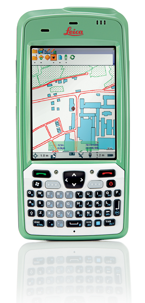
Leica Geosystems announced a further enhancement to the Leica Zeno GIS family – the Leica Zeno 5, an entry-level, rugged PDA for organizations that require a durable compact device with integrated modem and high-sensitive GPS. The new Leica Zeno 5 supports field workers by combining a mobile phone with asset collection and management capabilities.
Senior Product Manager Johannes Hotz comments ”Together with our Leica Zeno Field and Zeno Connect applications, the Zeno GIS family continues to grow and further addresses all mobile GIS market segments ranging from utilities and natural resources to municipalities”.
The new Leica Zeno 5 provides a complete, integrated package of positioning, imaging and communications tools:
- 48 channel, high-sensitivity GPS receiver (SirfStarIV)
- GSM HSPA+ and CDMA with full phone capabilities, Wi-Fi and Bluetooth
- Texas Instruments latest high performance processor, the Sitara 3715 (OMAP3) at 800 MHz
- Large 3.7” full VGA transflective display
- Windows Embedded Handheld 6.5.3 Operating System
- Rechargeable and hot-swappable all-day battery (10 hours +)
- Full range of interactive sensors including camera, digital compass, gyroscope, light sensor, proximity sensor and accelerometer
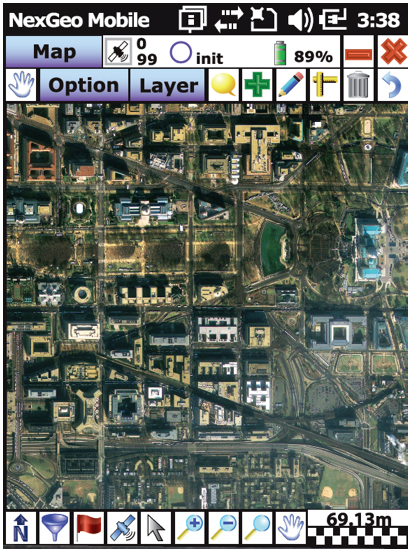
“The new Leica Zeno 5 is the fastest and best equipped rugged PDA for a mobile user”, said Johannes Hotz. “Designed to be, at the same time, a mobile phone, GPS-enabled data collector and a controller for our out-standing Leica GG02 plus GNSS SmartAntenna. This new handheld will help users to get the maximum out of from their investment. Together with our Zeno Field application, the Zeno 5 provides an easy-to-use, streamlined GIS data collection and management solution. The Zeno Connect, as stand-alone application or SDK, enables our software partners to combine their industry specific solution with our high-accuracy data collection solutions”.
According to the announcement, the Leica Zeno 5 is shock resistant, withstands a drop from to 1.8 m, and is protected against water and dust. The large 3.7 inch screen is optimized for sunlight readability and maintains exceptional clarity in outdoor conditions, including direct sunlight. Field workers can collect features and descriptive information using the in-built, high-sensitive GPS data, attach photos to the collected assets, and synchronize, with high-speed up- and download times, with the office using a single and compact device, all in a full working day without re-charging the Zeno 5.