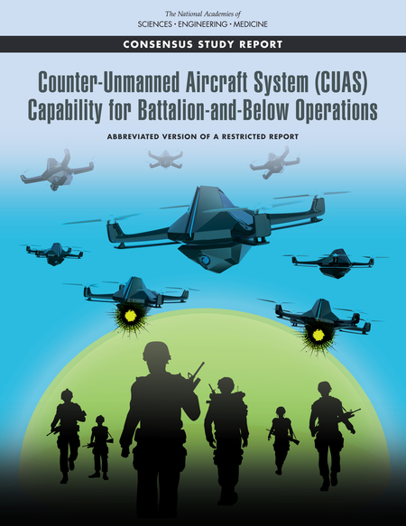
 The emergence of inexpensive small unmanned aircraft systems (sUASs) has led to adversarial groups threatening deployed U.S. forces, especially infantry units, according to a new report.
Although the U.S. Army and the U.S. Department of Defense (DOD) are developing tactics and systems to counter single sUASs, the report by the National Academies of Sciences, Engineering and Medicine emphasizes the need for developing countermeasures against multiple sUASs — organized in coordinated groups, swarms, and collaborative groups — that could be used much sooner than the Army anticipates.
The committee that conducted the study developed a classified report that details its findings and recommendations, along with an unclassified public version that discusses key background issues.
“Hobby drones are easy to buy, their performance is improving dramatically, and their cost has dropped significantly; now with millions of them around the world, they pose a growing threat to the U.S. warfighting forces if used for nefarious intents,” said Albert Sciarretta, president of CNS Technologies and chair of the committee. “The threats could be consumer items like hobby drones, modified consumer items such as could be assembled with online components, and customized ones, like built-from-scratch aircraft.”
The committee that authored the report was asked by the U.S. Army to assess the threat from sUASs, especially when massed and operating collaboratively, examine the current capabilities of military units to counter them, assess related human performance issues, and identify technologies appropriate for short- and long-term science and technology investments by the Army.
Readily available, high-performance, sUASs can be easily modified to carry lethal weapons, identify targets at long ranges, and conduct electronic warfare attacks. As the capabilities of hobby drones improve at a rapid pace, the added threat from coordinated groups, swarms and collaborative groups of sUASs will pose a substantial challenge to U.S. armed forces, the report says.
“Modified hobby drones can be used to support conventional and unconventional attacks. For example, they can be fitted with external or embedded explosives designed to explode on contact,” added Sciarretta. “In addition, they can be used by adversaries to jam our radio frequency signals and to support their information operations. When these sUASs are combined in groups or swarms, their threat is significantly enhanced.”
Countering sUASs first requires detection and identification, which is difficult because they are small, fly at low altitudes, can have highly irregular flight paths, and travel at a range of speeds, the report says. Moreover, a sUAS can also take advantage of the surrounding environment, for example, by concealing itself among trees or blending in with a flock of birds.
Even after threats are identified, countering sUASs can be challenging, the report says. The Army and DOD have invested significantly in technologies in response to these threats, often focusing on detecting radio frequency transmissions of the sUASs or their operators.
However, the report highlights that today’s consumer and customized sUASs increasingly can operate without radio frequency command-and-control links by using automated target recognition and tracking, obstacle avoidance, and other capabilities enabled by software.
The study was sponsored by the U.S. Army.
Copies of Counter-Unmanned Aircraft System (CUAS) Capability for Battalion-and-Below Operations are available from the National Academies Press or by calling 202-334-3313 or 1-800-624-6242.
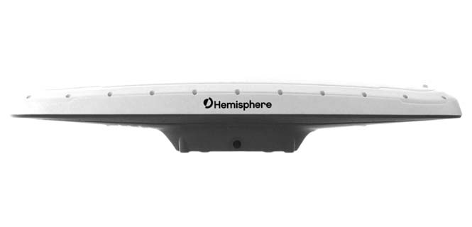
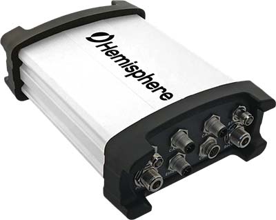 Hemisphere GNSS has introduced the Vector V1000 GNSS receiver for precision marine applications. The V1000 provides high-accuracy heading, position, pitch, roll and heave data.
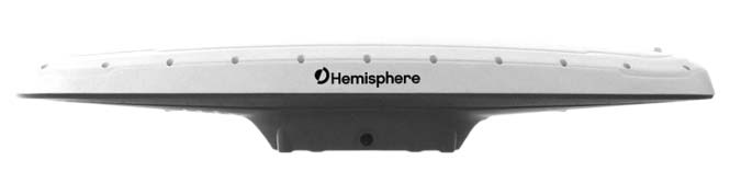