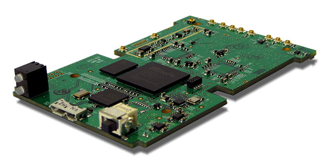
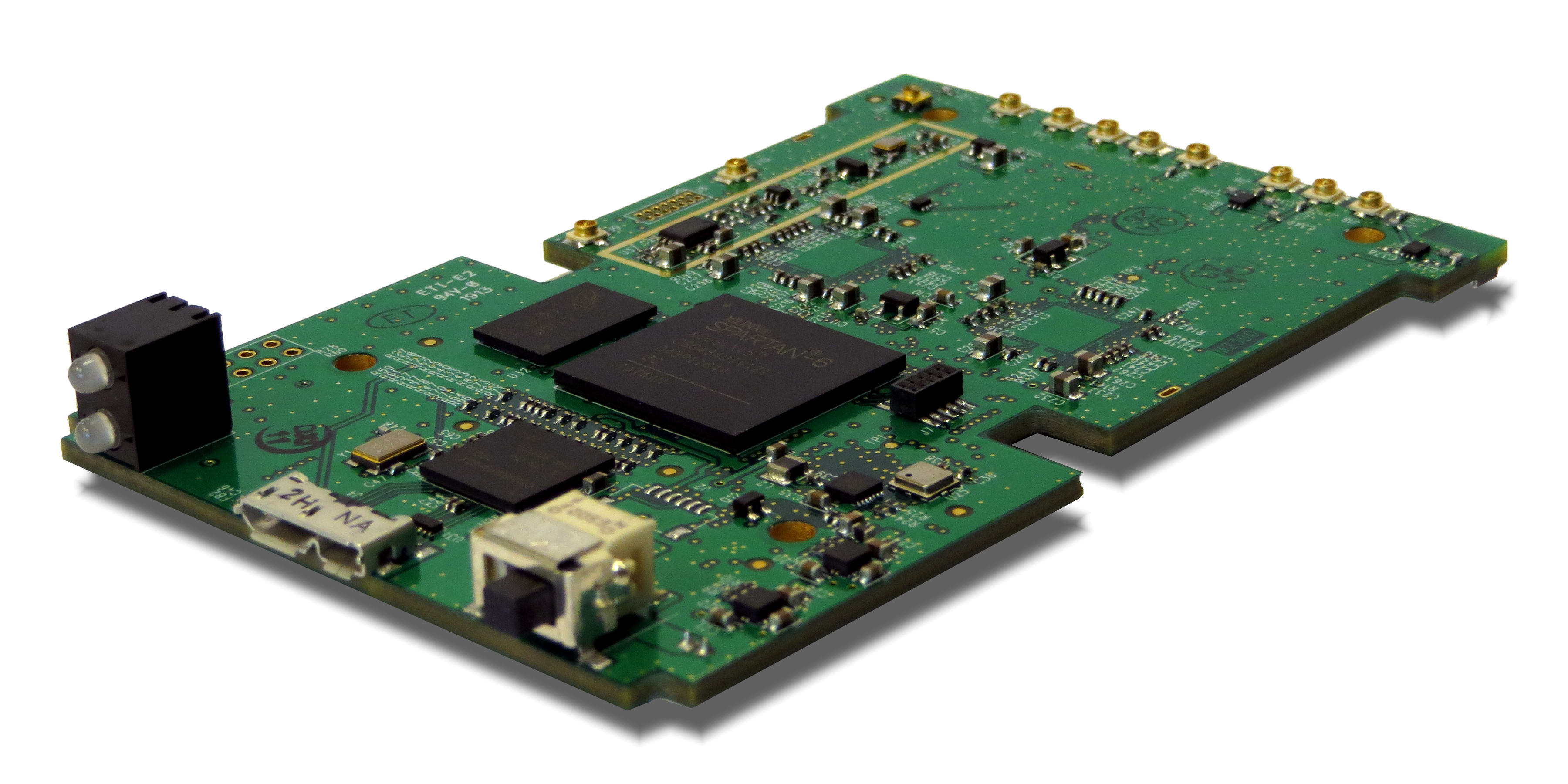
Loctronix Corporation, a provider of unified positioning solutions for GNSS-challenged environments, has announced the availability of the ASR Workbench, a development toolset for the company’s recently released ASR-2300 software-defined radio (SDR) module. The ASR-2300 is a function-rich SDR for high-performance positioning, navigation and timing (PNT), and communication applications, the company said.
“The ASR-2300 delivers advanced SDR capabilities in a small, mobile form-factor enabling developers to readily create and field complex SDR-based solutions. The new ASR Workbench tool makes it easy for developers to take full advantage of the ASR-2300’s capabilities,” said Michael Mathews, Loctronix’ CEO and founder.
The new ASR Workbench is a Windows-based Integrated Development Environment (IDE) for SDR applications development and testing. It comes with a drag-and-drop, real-time DSP modeling tool with integrated support for the ASR-2300. With ASR Workbench developers will be able to:
- Process multiple ASR-2300 baseband I/Q sample streams.
- Access a variety of DSP processing and visualization blocks for use in custom models.
- Record/playback signals, analyze received signals using a variety of demonstration models.
- Optimize the performance and configuration of the ASR-2300 module with a suite of diagnostic tools.
- Export data into formats supporting additional analysis using a variety of standard tools including Matlab/Simulink, Excel, etc.
Loctronix’ ASR-2300 SDR module provides multiple, fully-integrated RF paths supporting reception of GNSS, cellular, ISM band, and UHF signals of opportunity, making it suitable for demanding scientific, military, aerospace and commercial/industrial applications, such as UAV/UAS navigation, GPS-challenged or -denied tracking and navigation, combined communications and navigation radios, and GPS integrity monitoring and validation, according to Mathews.
“Using an SDR effectively is challenging due to the steep learning curve required to take advantage of its many programmability benefits. At Loctronix, one of our highest priorities is to provide tools that simplify complex application development. It is not enough to provide just an API and hardware for the user community and hope that they will learn how to use the platform effectively,” Mathews said.
“Developers looking to create solutions for these demanding applications will realize greater functionality with the ASR-2300, thanks to its multiple sensor and multiple frequency capabilities,” he added. “The new ASR Workbench will result in shorter development times and lower development costs for such high-performance PNT applications.”
The ASR Workbench will be freely downloadable for customers purchasing the ASR-2300. The ASR-2300 SDR is available directly from Loctronix.