Tag: ION GNSS 2023

  • Research Roundup: Combating jamming and spoofing

    Research Roundup: Combating jamming and spoofing

    GNSS researchers presented hundreds of papers at the 2023 Institute of Navigation (ION) GNSS+ conference, which took place Sept. 11-15, 2023, in Denver, Colorado, and virtually. The following four papers focused on ways to combat GNSS jamming and spoofing. The papers are available here.

    GPS World will be attending this year’s ION conference in Baltimore, Maryland on Sept. 16-20.

    Photo: Who_I_amWho_I_am / iStock / Getty Images Plus / Getty Images
    Photo: Who_I_amWho_I_am / iStock / Getty Images Plus / Getty Images

    Optimal INS

    The civil infrastructures behind safety-critical applications in aviation, maritime and terrestrial navigation rely heavily on global navigation satellite system (GNSS) signals. The civil GNSS signal structures are vulnerable to spoofing attacks, which can endanger public safety.

    In this work, the authors introduced an optimal cumulative position-domain innovation (CPI) monitor to detect spoofing by accumulating tracking errors embedded in the spoofer’s signal. The authors also derived relationships between missed detection probability, tracking error magnitude and monitor run time to show that even with decimeter-level tracking error, the monitor can detect spoofing with a low probability of missed detection in less than 1 minute.

    The team of researchers evaluated the performance of the CPI monitor for both white and time-correlated (colored) tracking errors. To compute protection levels and detect short-duration spoofing, researchers proposed a complementary solution separation (SS) monitor to implement in sequential, overlapping windows to compare the integrated INS/GNSS position solution against an inertial navigation system (INS) coasting solution. The INS-only coasting element allows the system to maintain positioning continuity after detection, albeit at lower accuracy, as the INS drifts.

    The experimental results indicate that implementing a CPI monitor can dismiss the conjecture that INS-based spoofing detection is susceptible to slowly deviating counterfeit signals. It was found that if the duration of the spoofing event exceeds a minimum time defined by the variance and time constant of the tracking error, the spoofer’s target tracking error can be detected.

    Birendra Kujur, Samer Khanafseh and Boris Pervan; “Optimal INS Monitor for GNSS Spoofer Tracking Error Detection.”

    Space-Time Adaptive Processing

    Antenna arrays and spatial processing techniques are among the most effective countermeasures against GNSS signal interference. In this paper, the authors propose a new array concept, space-time adaptive processing (STAP), that consists of spatially distributed subarrays small enough to fit inside the non-metallic parts of an automobile. The device is designed to be installed in bumpers or side mirrors.

    During the experimental testing, the authors used beamforming algorithms for the array to perform against jammers in the GPS L5 and Galileo E5a bands. The authors composed a GNSS jamming scenario to compare conventional space adaptive processing (SAP) methods and the new STAP method using real-life measurements in a dynamic scenario. In this simulation, the car was rotated 360° throughout the complete measurement. The comparison between the received signal quality demonstrated an improvement for wideband signals.

    The results demonstrate that the performance of the STAP was dependent on the number of taps analyzed in the testing simulation that included different fractional delays. Overall, the research showed STAP could outperform SAP implementation in applications requiring robust tracking, as it was able to process all satellites for an additional 12 seconds.

    Marius Brachvogel, Michael Niestroj, Michael Meurer, Syed N. Hasnain, Ralf Stephan and Matthias A. Hein; “Space-Time Adaptive Processing as a Solution for Mitigating Interference Using Spatially-Distributed Antenna Arrays.”

    Enabling RTK Positioning Under Jamming

    New GNSS applications demand high position accuracy and resilience against radio frequency interference. Separately, these demands can be fulfilled by multi-antenna systems using spatial filtering and carrier-phase positioning algorithms, such as real-time kinematics (RTK), respectively. However, combining these approaches creates a severe issue: the spatial filtering induces a phase offset into the measured carrier phase leading to a loss of position accuracy.

    This paper presents a new approach to compensate for the phase offset without knowing the antenna array radiation pattern or the direction of arrival of the signals. The proposed algorithm was tested in two different scenarios using an in-house software receiver in combination with the RTKlib — an open-source program package for GNSS positioning — that was used to estimate an RTK solution. In the first scenario, the signal power of a jammer from a constant direction of arrival (DoA) was raised stepwise. In the second scenario, a jammer with constant signal power was moved around the receiver antenna array. For both scenarios, the proposed algorithm was compared with a multi-antenna system not compensating for the phase bias and with a single antenna processing.

    It is most suitable in situations where a medium-to-high precision (dm to cm) solution must be resilient to interference. A very high precision solution (cm to mm), comparable with a geodetic receiver accounting for antenna phase center variations, cannot be achieved with this algorithm.

    In this paper, the signal recording and processing time was limited to less than half an hour. The carrier-phase offset produced by the proposed algorithm may become larger over longer observation times. Evaluating this is part of future work.

    Tobias Bamberg, Andriy Konovaltsev and Michael Meurer; “Enabling RTK Positioning Under Jamming: Mitigation of Carrier-Phase Distortions Induced by Blind Spatial Filtering.”

    Multi-layered Multi-Constellation GNSS Interference Mitigation

    Several layers of defense can be implemented in a GNSS receiver to improve its performance in the presence of interference. These layers include the use of pre-correlation mitigation techniques, post-correlation quality indicators to screen measurements and fault detection and exclusion (FDE) at the position solution level.

    This paper provides a characterization of the interactions between these layers of interference mitigation and a measurement quality check. Data collected in the presence of increasing levels of jamming were processed using different interference mitigation techniques, including robust interference mitigation (RIM) and the adaptive notch filter (ANF). A software-defined radio (SDR) approach was used, and measurements were generated by considering five interference-mitigation techniques. Position solutions were then computed using a forward-backward approach for receiver autonomous integrity monitoring (RAIM). Signals from GPS, Galileo and BeiDou were processed and both single and dual-constellation solutions were analyzed.

    The results demonstrated that interference mitigation allowed the receiver to track a larger number of signals even in the presence of high levels of jamming power. This increased measurement availability was then effectively exploited by RAIM techniques to provide more reliable solutions. Measurements from several constellations further improved the reliable availability of the position solutions.

    Ciro Gioia and Daniele Borio; “Multi-layered Multi-Constellation Global Navigation Satellite System Interference Mitigation.”

  • Applying Precise-Point Positioning

    Applying Precise-Point Positioning

    Photo: Abscent84/iStock/Getty Images Plus/Getty Images
    Photo: Abscent84/iStock/Getty Images Plus/Getty Images

    GNSS researchers presented hundreds of papers at the 2023 Institute of Navigation (ION) GNSS+ conference, which took place Sept. 11-15, 2023, in Denver, Colorado, and virtually. The following four papers focused on the use of precise-point positioning for various applications. The papers are available here.

    Smartphone Positioning Resiliency

    Ultra-low-cost GNSS receivers used in smartphones have several drawbacks that include insufficient observations and poor signal reception quality compared to higher-cost receivers. The authors of this article proposed that using native sensors and precise-point positioning (PPP) augmentation can offer resilient smartphone positioning.

    During their research, the authors deployed only inertial measurement unit (IMU) and GNSS sensors native to existing smartphones. They were able to achieve a standalone solution using PPP and IMU integration that performed better than standard techniques.

    In vehicle experiments with unobstructed sky, the sensor integration algorithm achieved 1.6 m horizontal RMS. This reduced 80% of horizontal errors in GNSS-challenged environments through a tightly coupled GNSS-PPP solution that has not appeared in any other publications according to the authors.

    To address resilient smartphone positioning, the authors stated that sensor fusion is also being explored by using smartphone sensors, including IMUs, cameras, and other fusion techniques.

    Yang, Yi, Vana, and Bisnath, “Resilient Smartphone Positioning Using Native Sensors and PPP Augmentation.”


    Multi-GNSS PPP and MEMS IMU Integration for Navigation in Urban Environments

    This paper addressed the issue of accurate, precise and continuous navigation in obstructed environments for vehicles. To provide a low-cost lane-level navigation solution for automotive applications, the authors proposed an integrated solution featuring low-cost GNSS PPP and MEMS-based IMUs.

    During the authors’ research, they introduced a low-cost, triple-frequency GNSS, a MEMS-based IMU and a patch antenna to achieve decimeter-level accuracy in suburban and urban environments. Low-cost hardware and software were used to bridge GNSS gaps in urban environments to provide a continuous, accurate, and reliable position solution that is novel and has not been previously published, according to the authors.

    The low-cost navigation system demonstrated an accuracy of less than a decimeter in the presence of a sufficient number of satellites. During half a minute of introduced GNSS signal loss, the overall RMS of the algorithm was 10% to 40% better than dual-frequency PPP with IMU as the satellite availability was reduced.

    The results obtained during partial GNSS availability indicated a step forward in the low-cost navigation area for applications such as low-cost autonomous vehicles, intelligent transportation systems, and more that demand a decimeter level of accuracy.

    Vana and Bisnath, “Low-Cost, Triple-Frequency, Multi-GNSS PPP and MEMS IMU Integration for Continuous Navigation in Simulated Urban Environments.”


    Message Authentication for PPP/PPP-RTK Data

    This paper analyzed candidate schemes for PPP/PPP-real-time kinematic (RTK) data authentication. As current PPP/PPP-RTK services are not authenticated, the motivations behind the authors’ research were the new availability of GNSS authentication services such as the Galileo Open Service Navigation Message Authentication (OSNMA), new PPP/PPP-RTK services such as QZSS Centimeter Level Augmentation Service (CLAS) and Galileo High Accuracy Service (HAS), and more.

    In this paper, asymmetric schemes were proposed based on existing standards and compatibility with GNSS messages. Post-quantum cryptographic signatures were also reviewed and discussed. Two of the schemes were selected for analysis: digital signature based on ECDSA, and delayed disclosure based on a hybrid scheme using the TESLA protocol.

    Each of the schemes was described in detail for both Galileo HAS and QZSS CLAS. The performance of the schemes in terms of time to receive the corrections message and the increase in the age of the data was analyzed. The analysis was complemented by a review of the CPU consumption at receiver level.

    Fernandez-Hernandez, Hirokawa, Rijmen, and Aikawa, “PPP/PPP-RTK Message Authentication.”


    Creating Consistent RVIM By Estimating Receiver Biases

    Ionospheric augmentation is one of the most important dependences of PPP-RTK. Due to the dispersive features of the ionosphere, the ionospheric information is usually coupled with satellite- and receiver-related biases. This could result in inconsistent ionospheric corrections if a different number of reference stations are involved in the calculation.

    In this paper, the authors aimed to introduce a consistent regional vertical ionospheric model (RVIM) by estimating receiver biases. First, they presented the inconsistent ionospheric corrections under sparse networks. Then the RVIM was compared with the International GNSS Service (IGS) final global ionospheric map (GIM) product, and the average of differences between them is 1.13 TECU.

    The slant ionospheric corrections were then employed as a reference to evaluate both RVIM and GIM. The RMS values were 1.48 and 2.23 TECU for the RVIM and GIM. Finally, the authors applied the RVIM into PPP-RTK.

    The results showed that the PPP-RTK with RVIM constraints improved horizontal errors, vertical errors, and convergence time by 43.45%, 29.3%, and 22.6% under the 68% confidence level, compared with conventional PPP-AR.

    Lyu, Xiang, Tang, Pei, Yu, and Truong, “A Consistent Regional Vertical Ionospheric Model and Application in PPP-RTK Under Sparse Networks.”

  • ION GNSS+ 2023: Racelogic

    ION GNSS+ 2023: Racelogic

    GPS World Editor-in-Chief, Matteo Luccio, met with Elijah Owens, technical sales engineer, Racelogic, to highlight the company’s new Labstat 4 technology and more from ION GNSS+ 2023.

  • ION GNSS+ 2023: RX Networks

    ION GNSS+ 2023: RX Networks

    GPS World Editor-in-Chief, Matteo Lucio, stopped by the RX Networks booth to talk about company updates and new products with Ali Soliman, head of sales and marketing, RX Networks.

  • ION GNSS+ 2023: Rohde & Schwarz

    ION GNSS+ 2023: Rohde & Schwarz

    GPS World Editor-in-Chief, Matteo Luccio, met with Darren McCarthy, Aerospace & Defense Industry Segment Manager, Rohde & Schwarz, to discuss the company’s new avionics test, developments in using 5G broadcast channels for PNT and more from ION GNSS+ 2023.

  • ION GNSS+ 2023: UHU Technologies

    ION GNSS+ 2023: UHU Technologies

    GPS World Editor-in-Chief, Matteo Luccio, met with UHU Technologies President, Jeffery Sanders, to discuss the company’s new four channel system, seven channel system, their applications and more from the ION GNSS+ 2023 show floor.

  • ION GNSS+ 2023: Safran Navigation & Timing

    ION GNSS+ 2023: Safran Navigation & Timing

    GPS World Editor-in-Chief, Matteo Luccio, met with John Fischer, resilient PNT and wireless systems, Safran Navigation & Timing, at their booth at ION GNSS+ 2023. Fischer, a GPS World Editorial Advisory Board member, discussed the Minerva Academic Program, the goal of the program and more in this exclusive interview.

  • ION GNSS+ 2023: Microchip Technology

    ION GNSS+ 2023: Microchip Technology

    GPS World Editor-in-Chief, Matteo Luccio, met with Will Krzewick, Principal Engineer Product Marketing, Microchip Technology, to discuss remote sensing, new atomic clocks, and more products featured at their booth at ION GNSS+ 2023.

  • ION GNSS+ 2023: Spirent Communications

    ION GNSS+ 2023: Spirent Communications

    GPS World Editor-in-Chief, Matteo Luccio, met for an exclusive interview about Spirent Communications collaboration with Xona Space System‘s PULSAR, new releases, and more with Adam Price, Vice President – PNT Simulation, Spirent Communications.


  • ION GNSS+ 2023: ANELLO Photonics

    ION GNSS+ 2023: ANELLO Photonics

    GPS World Editor-in-Chief, Matteo Luccio, met with Kirstin Schauble, Senior Systems Engineer at ANELLO Photonics, to discuss the company’s new silicon photonic optical gyroscope, SIPHOG, and more company updates at ION GNSS+ 2023.

  • ION GNSS+ 2023: Recap

    ION GNSS+ 2023: Recap

    ION GNSS+ 2023 has officially concluded. GPS World staff had the opportunity to stop by several booths, attend a variety of educational sessions, and connect with industry leaders and attendees. Below are some of the show highlights and pictures of the beautiful city of Denver.

    All photos were taken by GPS World Editor-in-Chief, Matteo Luccio.

    Educational sessions

    Image: Matteo Luccio

    ION GNSS+ attendees gathered to hear a variety educational sessions offered throughout the conference.


    Captain Scott Calhoun, Commanding Officer, U.S. Coast Guard Navigation Center (NAVCEN) and Deputy Chair of the Civil GPS Service Interface Committee.


    On the first day of the conference, Dr. Tzu-Wei Fang, Space Scientist, National Oceanic & Atmospheric Administration (NOAA) Space Weather Prediction Center, spoke during the “Remote Sensing, Timing, Space and Scientific Applications” session.


    Dr. Ignacio Fernández-Hernández, Galileo Authentication and High Accuracy Manager for the European Commission, presented during the “Trends in Future Satellite Navigation Technology, System Design and Development” educational session.


    Scott Thompson-Buchanan, Chief Cartographer, National Park Service, discussed the program’s partnerships and future plans.


    Dr. Robert Hampshire, Deputy Assistant Secretary for Research and Technology and Chief Science Officer,
    U.S. Department of Transportation, gave the keynote address during the 63rd Civil GPS Service Interface Committee.


    (From left to right) Colonel Andy Menshner, GPS Space and Ground (SML), Space Systems Command, U.S. Space Force; Lieutenant Colonel Robert Wray, Commander, Second Space Operations Squadron, U.S. Space Force; and Harold “Stormy” Martin, Director, National Coordination Office for Space-Based Positioning, Navigation, and Timing, during the Civil GPS Service Interface Committee.


    Colonel Andy Menshner gave GPS acquisitions and development updates.


    Panelists during the 63rd Civil GPS Service Interface Committee.


    Click here to see more highlights from the 63rd Civil GPS Service Interface Committee, including the celebration of 50 years of GPS!

    Matteo in the exhibit hall

    GPS World staff met with our partners, contributors and readers on the show floor and at our booth.

    The GPS World booth highlighted past magazine covers and our current issue of the magazine. Here, GPS World staff, Todd Miller (left) and Matteo Luccio (right), took the opportunity to meet with program leaders, partners and readers.


    Harold “Stormy” Martin.


    Adam Price, Vice President – PNT Simulation at Spirent Communications.


    Dr Bradford Parkinson.


    Kirstin Schauble and Gerhard Boiciuc, Anello Photonics.


    Tim Waite and Mitchell McFee, GPS Networking.


    GPS World‘s long-time contributor, Richard Langley.


    Dr. Patricia Larkoski, The Mitre Corporation (left)  and Nunzio Gambale, Founder and CEO of Locata (right).


    GPS World Editorial Advisory Board member, Mitch Narins, Strategic Synergies, LLC.


    John Clark, CAST Navigation.


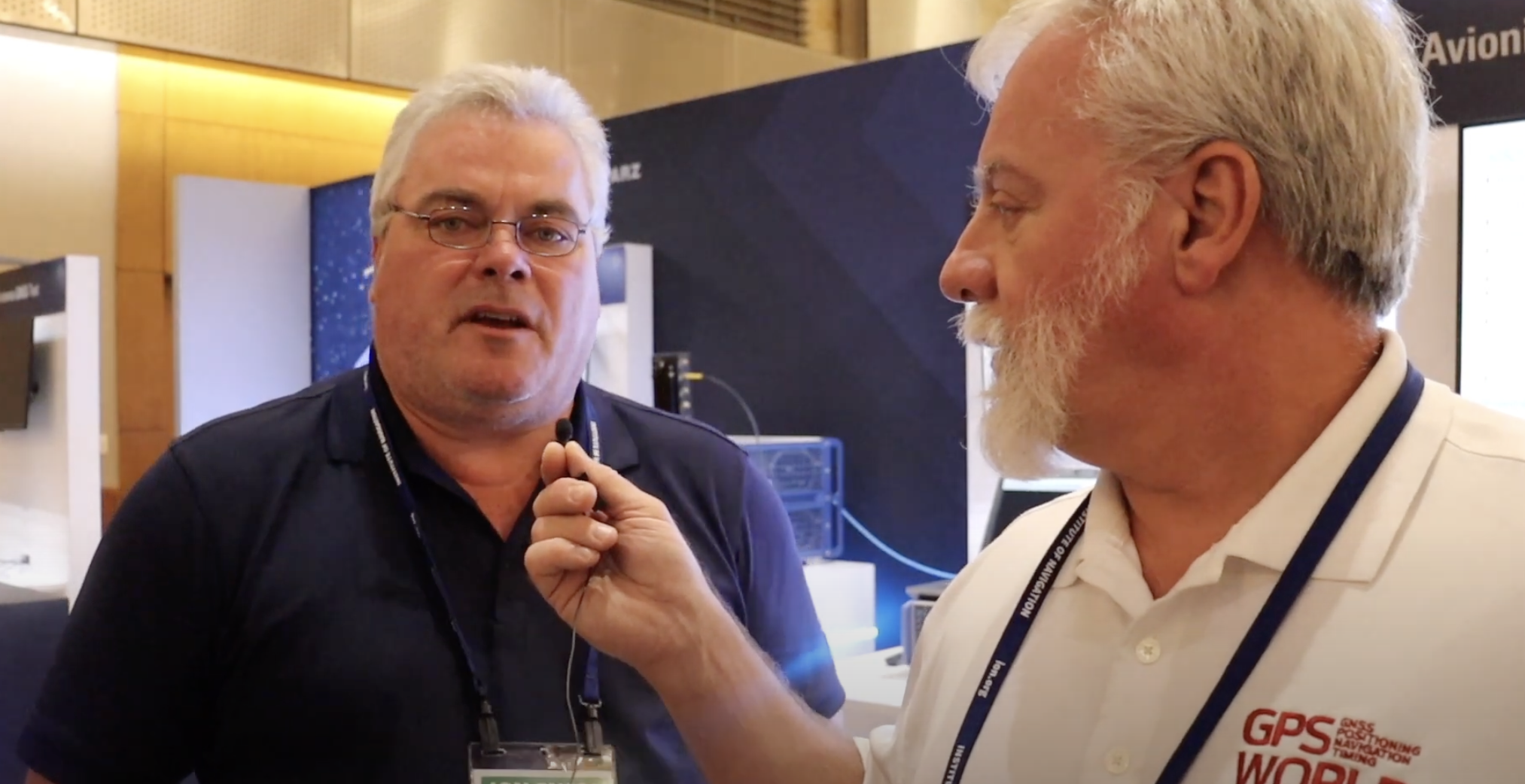
    Frank Van Diggelen, Google, and past President of ION.


    GPS World Editorial Advisory Board member, John Fischer, Safran Navigation and Timing.


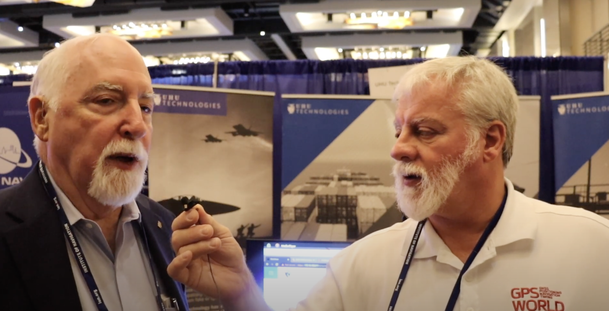
    Chuck Stoffer (left) and Jeffery Sanders (right), UHU Technologies.


    Gregory Turetzky, OneNav.


    Karen Van Dyke, Director, PNT and Spectrum Management, U.S. Department of Transportation.


    The beautiful city of Denver

    ION GNSS+ 2023 took place in the heart of downtown Denver and came to a close on September 15. Beautiful blue skies and skyscrapers welcomed conference attendees from across the globe for the four-day event. Next year, ION GNSS+ is set to take place at the Hilton Baltimore Inner Harbor, Maryland.


  • ION GNSS+ 2023: Day two recap

    ION GNSS+ 2023: Day two recap

    ION GNSS+ 2023 is underway at the Hyatt Regency Denver at Colorado Convention Center. On the second day, industry leaders and show attendees gathered for the 63rd meeting of the Civil GPS Service Interface Committee. During a break, a cake was wheeled out to celebrate 50 years of GPS. GPS World staff wanted to highlight some key parts of the event.

    (Image: Matteo Luccio)

    (From left to right) Rick Hamilton, GPS Info Analysis Team Lead, U.S. Coast Guard; Harold “Stormy” Martin, Director, National Coordination Office for Space-Based Positioning, Navigation, and Timing; Dr. Bradford Parkinson, Edward Wells Professor, Emeritus, Aeronautics and Astronautics (Recalled), Co-Director, Center for Position, Navigation and Time, Stanford University; Capt. Scott Calhoun, Commanding Officer, U.S. Coast Guard Navigation Center (NAVCEN) and Karen Van Dyke Director, PNT and Spectrum Management, U.S. Department of Transportation, gathered around a cake to celebrate the 50th anniversary of GPS.

    Image: Matteo Luccio
    Image: Matteo Luccio
    Image: Matteo Luccio
    Image: Matteo Luccio

    A closer look at the 50 years of GPS cake. Learn more about the history of GPS here.

    Image: Matteo Luccio
    Image: Matteo Luccio

    Lt. Colonel Robert Wray, Commander, Second Space Operations Squadron, U.S. Space Force (second from left), who was featured on the May cover of GPS World. Click here to read our May cover story, featuring an exclusive interview with Lt. Colonel Wray about the training and duties of his team, the challenges they face, and more.

    Image: Matteo Luccio
    Image: Matteo Luccio

    Dr. Bradford Parkinson (left) and Dr. Robert Hampshire, Deputy Assistant Secretary of Research and Technology and Chief Science Officer, U.S. Department of Transportation (right). Click here to learn more about Dr. Bradford Parkinson, who is nicknamed “The father of GPS.”

    Image: Matteo Luccio
    Image: Matteo Luccio

    Col. Andy Menshner, GPS Space and Ground (SML), Space Systems Command, U.S. Space Force, speaking about GPS acquisitions and development updates during the Civil GPS Service Interface Committee.

    Image: Matteo Luccio
    Image: Matteo Luccio

    (Second from left) Karen Van Dyke, Director, PNT and Spectrum Manager, U.S. Department of Transportation Deputy Chair, serves as chair of the 63rd Civil GPS Service Interface Committee. Read more from the Department of Transportation here.

    Image: Matteo Luccio
    Image: Matteo Luccio

    Attendees gathered to hear speakers from the U.S. Department of Transportation, the U.S. Space Force, and other departments and agencies.

    Click here to stay up to date with our show coverage!