
In today’s hyper-connected world, GNSS signals face unprecedented threats from jamming and spoofing attacks. As these signals traverse 20,000 km from satellites to Earth, they become vulnerable to interference that can degrade positioning accuracy or eliminate position availability altogether. Understanding how to recognize these attacks and implement protective measures has become critical for industries depending on precise positioning.
Two Distinct Threats
Jamming occurs when signals are disrupted or denied, making it difficult or impossible for receivers to interpret information correctly. In contrast, spoofing involves malicious transmission of fake signals that mimic real ones, tricking receivers into delivering inaccurate location data. Spoofing is basically someone trying to pretend they’re a real satellite.
While jamming focuses on disruption through noise and interference, spoofing relies on deception, sending false signals that systems accept as legitimate. Both pose serious challenges, but their differences require unique detection and prevention strategies.
When jamming occurs — whether it be noise (chirp) jamming, tone jamming or pulsed jamming, devices may experience significant signal degradation resulting in interrupted communication and loss of both data and situational awareness. By contrast, spoofing — be it meaconing, coherent or signal overlay — can subtly alter data, leading to false readings and misguided actions.
How to Know If Your Signal is Under Attack
With the surge in electronic devices in today’s IoT-rich world, interference from radio frequencies — whether intentional or situational — is common. This is partly because multiple sensors are often situated close to each other on equipment, vehicles, drones and more. So how do you know if your system is under attack? GNSS interference typically manifests through several telltale indicators, including erratic or unstable device performance, frequent signal interruptions or a marked decline in data precision. Deception often reveals itself via red flags such as unusual location data inconsistencies, abrupt and unexplained shifts in data patterns, signal quality degradation (e.g., drop in carrier-to-noise ratio or high noise floor), sudden position drifts, frequent re-acquiring of signals, large discrepancies detected by Kalman filters or unexpected signal peaks.
With jamming, the first step is to recognize you’re being jammed by using a receiver as a jamming detector and utilize an onboard spectrum analyzer to identify interfering frequencies. Not only is this valuable for external jamming, but it is hugely helpful for companies as many accidentally self-jam with other components on the device.
Identifying these signs promptly is crucial for preserving system functionality and preventing potentially catastrophic consequences.
Industry Impact: Beyond Navigation
Beyond the military and cybersecurity, public safety, transportation, marine, construction, agriculture and utilities are highly susceptible, posing a significant threat.
Autonomous vehicle systems face the greatest risk, as they depend heavily on GNSS data for navigation accuracy and split-second decisions. Jamming can cause vehicles to struggle with lane-keeping, misinterpret traffic signals, or stop without warning, while spoofing presents a more subtle, yet still dangerous threat by potentially diverting vehicles from intended routes with harmful intentions, increasing the likelihood of collisions with obstacles, other vehicles or people.
Interruptions in key transportation networks can also lead to vehicles being misdirected, potentially leading to collisions, and even becoming targets for malicious actions like cargo theft. Railway systems have emerged as major targets, with “ransomware attacks becoming the most prominent threat against the rail sector” across the EU, according to Marianthi Theocharidou of the European Union Agency for Cybersecurity (ENISA). In the Baltic region alone, 46,000 aircraft exhibited possible jamming signs between August 2023 and March 2024.
In ag, precision farming technologies requiring reliable data for optimizing planting, watering and harvesting schedules face major disruptions that translate directly into resource waste and profit drain.
Navigation systems critical for safety and cargo protection are particularly vulnerable in maritime and logistics. Recent incidents include the hijacking of trucks carrying over $1 million worth of Santo tequila in Texas, where investigations suspect spoofing made the vehicles appear in the right location when they weren’t.
The Growing Accessibility of Attacks
Where skilled hackers once dominated the scene, inexpensive jammers now flood the market. Despite being illegal in most countries, these devices — often disguised as USB sticks or car chargers — have become increasingly accessible. One tiny 10mW chirp jammer plugged into a car socket can knock out GNSS signals within several miles.
Spoofing, once a complex task, is now achievable using open-source software or low-cost components, making robust countermeasures essential for systems across all industries.
Trimble’s Multi-Layered Defense
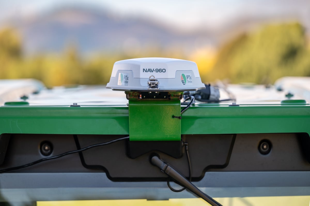
When looking for ways to mitigate these risks, it’s important to look for technology with embedded security features designed to combat both jamming and spoofing via cutting-edge innovation in radio frequency and processing technologies. Trimble’ GNSS receivers incorporate Maxwell technology, including:
- Digital Signal Processing (DSP) – rejection of spoofed signals through sophisticated tracking algorithms to detect multiple signals.
- Satellite Data Verification – historical logging of orbital parameters to detect unexpected changes or deviations from reasonable bounds, enhancing reliability.
- Autonomous integrity monitoring (RAIM) for identifying and rejecting potentially spoofed satellite data, a practice well-established in the aviation industry.
- Real-time monitoring with position sanity checks, limited satellite search windows and worldwide testing to stay ahead of the curve in developing further protection technologies.
Trimble solutions monitor and analyze the signals received in each of the GNSS frequency bands using the receiver’s ProPoint positioning engine. Trimble ProPoint GNSS technology allows for flexible signal management, which helps mitigate the effects of signal degradation and provides a GNSS constellation-agnostic operation. For example, when individual frequencies and constellations are spoofed or jammed, the receiver continues to provide positioning using available measurements. The onboard spectrum analyzer feature helps users identify interference on the bench or post-mission and take steps to remove.
In the past year, Trimble has added support for Galileo Open Service Navigation Message Authentication (OSNMA).This helps safeguards receivers by verifying the authenticity of Galileo navigation data, effectively mitigating data-level spoofing threats and bolstering overall system security. ProPoint receivers also have the ability to verify GPS and BeiDou-3 broadcast ephemeris via RTX NMA. This uses Trimble’s global network of reference stations with validity flags sent over MSS and IP links.
The Path Forward
With spoofing incidents expected to rise, the time for vigilance is now. Organizations must conduct risk assessments to identify vulnerabilities, implement multi-layered defense strategies and stay informed about emerging threats.
Through participation in global test programs like the JammerTest in Norway and the DHS’s GET-CI, Trimble has demonstrated the importance of continuous innovation in protection technology. During the JammerTest in September 2024, Trimble engineers joined the world’s largest GNSS jamming and spoofing exercise, testing the resilience of its positioning technology. The team drove a van packed with receivers and raw radio frequency (RF) data recorders from Munich to Norway. On the way they collected data through various terrains and conditions, including tunnels, ferries and bridges. On location, they participated in intense jamming, spoofing and meaconing tests across multiple sites, gathering data on various Trimble receivers, and also observing the performance of Trimble IonoGuard technology in the high ionospheric activity of northern latitudes. The event provided critical insights into GNSS interference detection and protection from jamming and spoofing, ultimately shaping the future development of Trimble Positioning Services and the industry.
As GNSS signals become increasingly critical for autonomous systems, smart cities and precision applications, protecting their integrity isn’t just about maintaining accuracy—it’s about safeguarding lives, preserving economic interests and ensuring the reliable operation of essential infrastructure.
The question isn’t whether GNSS interference will affect your systems, but when. By recognizing the warning signs, understanding the risks, and implementing robust protection measures, organizations can stay ahead of evolving threats and maintain the precision their operations demand.


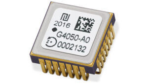 High-Dynamics MEMS Gyro
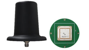 Anti-Jamming
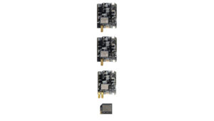 Triple-Band RTK Receivers
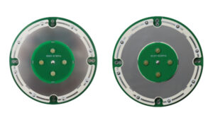 OEM GNSS Antenna
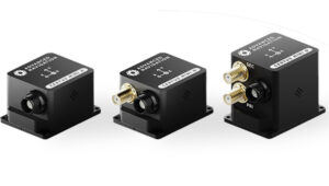 OEMs
OEMs Direct Georeferencing Solution
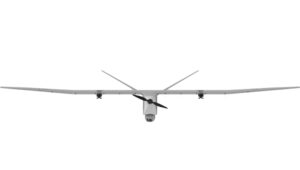 Fixed-Wing UAV
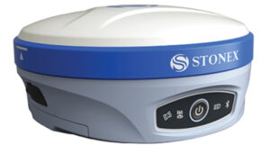 GNSS Receiver
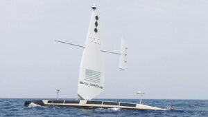
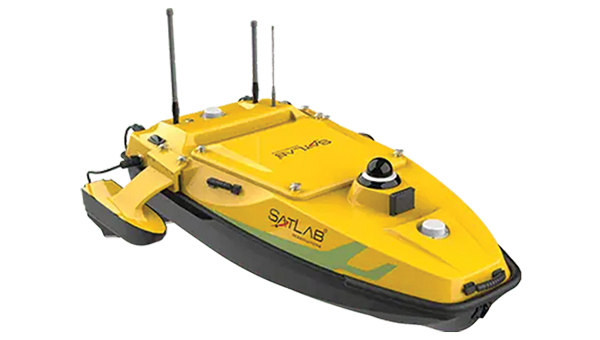
 USV
USV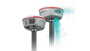 Laser RTK
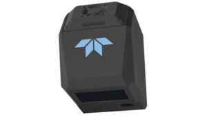 UAV Lidar Scanner
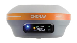 Receiver
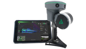 Software Solution


 Upgraded RTK Rover
 3Dsurvey 3.0 is an all-in-one photogrammetric software solution designed to unify lidar sensors, cameras on UAVs and various ground control points. Users can transition between orthophotos, point clouds and textured meshes.
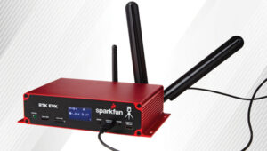 RTK Evaluation Kit
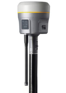 GNSS Receiver
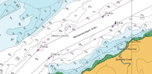 CARIS AutoChart, a nautical chart production solution, is tailored to the needs of nautical chart producers. It can automatically generate charts in PDF/TIF from ENC data. Users can seamlessly import data from ENC files to create comprehensive nautical charts in PDF and/or TIF format. CARIS AutoChart can generate chart templates from existing chart portfolios maintained with CARIS paper chart composer or CARIS HPD paper chart editor.
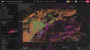 Felt 3.0 includes new features and native database integrations to improve the capabilities of geographic information systems (GIS). It provides modern GIS tools for teams to visualize, analyze and present important insights and map data relevant to their operations.
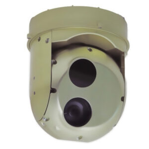 Gimbaled Camera
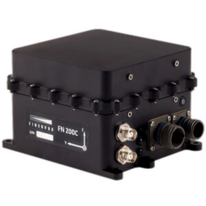 The FN 200C combines multiple functions into a single integrated platform. It features a three-in-one strapdown system compromising motion reference unit (MRU), attitude and heading reference system (AHRS) and inertial navigation system (INS) capabilities for precise positioning, velocity and orientation data in both static and dynamic movements.
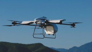 The RDSX Pelican extended-range hybrid vertical take-off and landing (VTOL) delivery UAV is now offered with an easily modifiable flight controller, designed for users to more readily integrate customized flight systems and companion software.
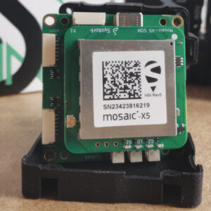 GNSS Positioning Modules
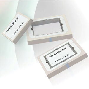 Inception is a new GNSS L1/L5 ultra-low-profile “patch-in-a-patch” antenna. The HP5354.A offers dual-band stacked patch performance in a single 35 mm x 35 mm x 4 mm form factor. This design integrates the second antenna within the first, eliminating the need for stacking parts and reducing the antenna height by 50%.
 Waterproof GNSS Antenna
 AQNav is designed for navigation across air, land and sea when GPS signals are jammed or unavailable.
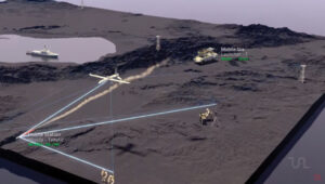 TRNAV is a terrestrial navigation solution designed to operate with or without GNSS signals.
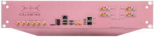 Calamine is a four-channel wide tuning range software-defined radio (SDR) that can be integrated into mission-critical systems for the defense, GNSS, communications and test and measurement markets.
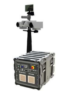 C-UAS Solution