Tag: Xona Space Systems

  • PNT by Other Means: Xona Space Systems

    PNT by Other Means: Xona Space Systems

    An exclusive interview with Jaime Jaramillo, Director of Commercial Services, Xona Space Systems. For more exclusive interviews from this cover story, click here


    Image: Xona Space Systems
    Space X Launch. (Image: Xona Space Systems)

    It has been said that “the only alternative to a GNSS is another GNSS”. Your website’s homepage claims that Xona will be “the next generation of GNSS.” Will it provide all the positioning navigation and timing services that the four existing GNSS provide?

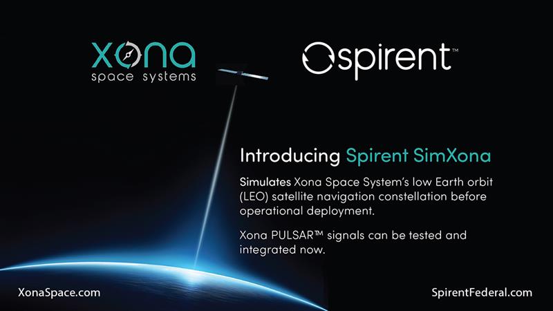
    JJ: The answer at a high level is “Yes, it will provide all the services that legacy GNSS provides and more.” Xona is developing a dedicated constellation of PNT satellites in Low Earth Orbit — this allows us to provide PNT signals and service with significant improvements to precision, protection, and power compared to what’s available today. Xona’s service, called PULSAR, is designed to meet a variety of commercial and modern applications that have been seeking performance improvements.

    So, the short answer to my question is, “Yes. All of that, and then some.”

    JJ: Yes, absolutely. Traditional GNSS constellations provide tremendous value to the world today, though we’ve seen market demand signals for even higher performance PNT and that we intend to deliver on.

    How many satellites and orbital planes will the full constellation have?

    JJ: The target is approximately 300 satellites. That will include several spares. There will be a diverse set of orbital planes and a combination of polar and inclined orbits.

    When all the satellites are up, their locations and broadcast frequencies will be public, right? They will have to be disclosed to various regulatory bodies.

    JJ: You hit it on the head. Because we’re in the process of going through regulatory approvals for the full constellation, we can’t talk a lot about our frequencies and a lot of the specifics publicly though this will change over time.

    Roughly, when do you expect to achieve initial operational capability (IOC)? And when you expect to achieve full operational capability (FOC)?

    Image: Xona Space Systems
    Image: Xona Space Systems

    JJ: As you can imagine, it is expensive to put up all 300 satellites — we’ll have a three-phase roll-out approach. Our target is to launch our next satellites at the end of 2024. In our first phase, we’re going to offer services beginning in North America and Europe that only require one satellite in view — for timing services and GNSS enhancements. IOC will be achieved in 2025. Then, as we roll out to phase two with more satellites in view, we’ll be able to start to offer positioning services in mid-latitudes. As we move to phase three, the service will provide even higher-performance PNT globally, and the services’ ability to operate independently from GNSS. We also designed the constellation with polar orbits to provide much better coverage in the polar regions which will be an improvement over what GNSS provides today.

    With climate change and more traffic through the Arctic, that’s going to become more important.

    JJ: Exactly. When we talk to potential customers today, that question comes up.

    When do you expect to complete your constellation?

    JJ: Our target for full operational capability is 2027.

    So, two or three years to fill out the constellation.

    JJ: We have basically locked down our signal and system architecture. Now, it’s a matter of building out the ground segment and launching satellites on schedule. There are several factors at play here, but those are the targets that we have today.

    Speaking of launch, who will launch your satellites?

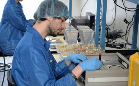
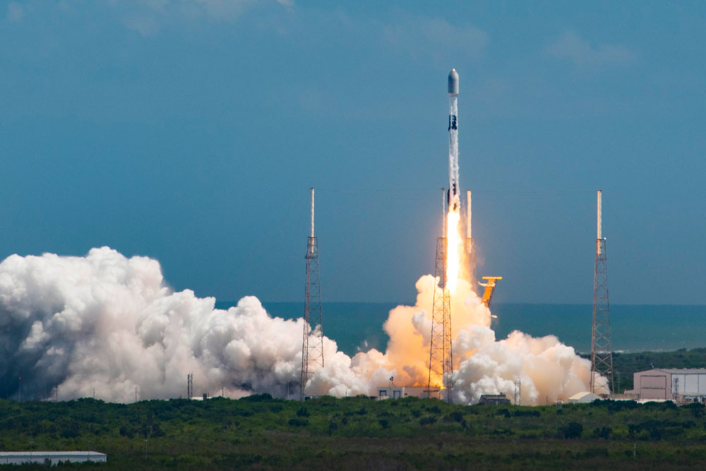
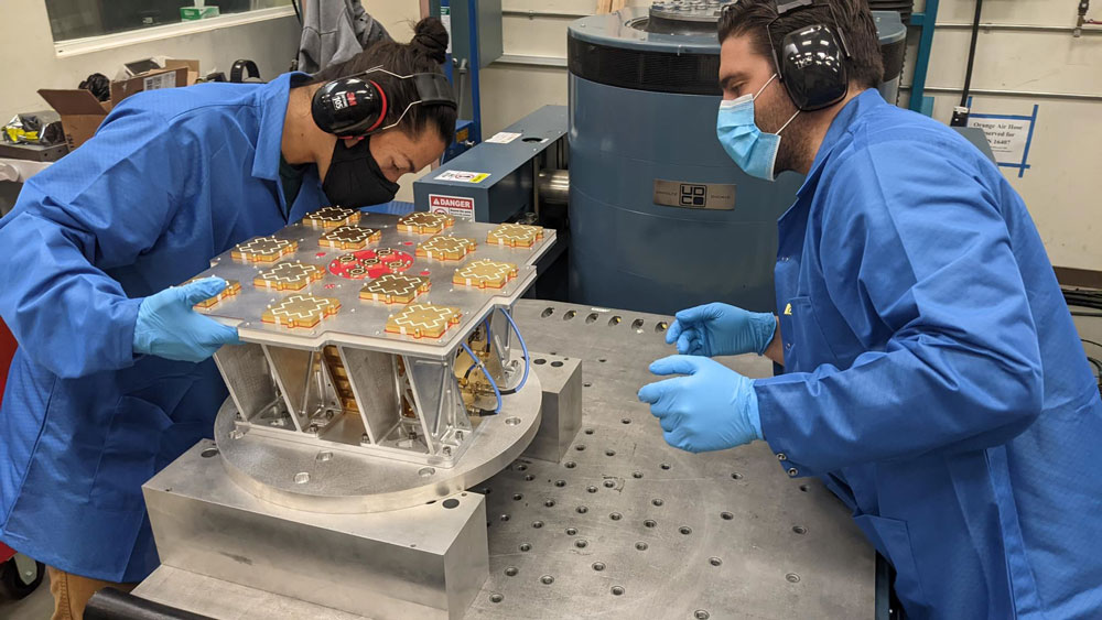
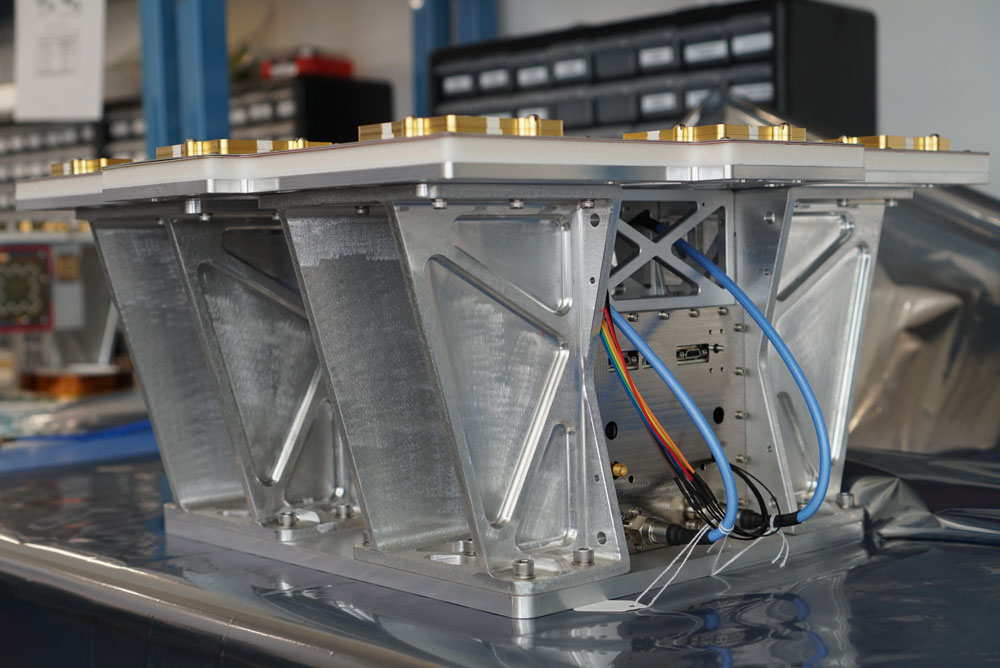
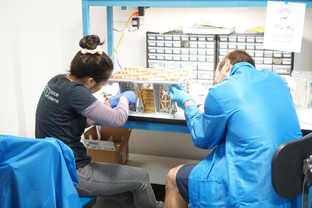
    JJ: That decision will depend on the satellite manufacturers with which we proceed. But the demo satellite that we have in space was launched last year in May on a SpaceX Falcon 9 rocket.

    What is your business model? Will you have different tiers of service? Will your rate structure enable mass adoption?

    JJ: We are targeting both mass market applications and high-performance ones. LEO brings many benefits in comparison to MEO in just about every industry to which it can be applied. Our business model supports industries that prefer a lifetime fee, as well as ones that prefer recurring subscriptions. We’ve also designed PULSAR with different performance tiers to support a wide variety of customer needs.

    What would be the differentiators between the different tiers?

    JJ: The PULSAR base service will include timing and positioning from Xona satellites. We have some in-band capabilities to broadcast additional services, such as GNSS enhancements, enhanced security features, and signal/service integrity. The integrity service will verify that the signal has a certain level of performance thresholds. Critical applications that need certain levels of performance will be able to receive the signal. If it drops below certain performance thresholds, we will flag that to the device so that it knows that, even though it is receiving a signal, it should not continue to use it due to signal degradation.

    With legacy GNSS, satellites in MEO broadcast signals to receivers. There’s no need for two-way communication and, anyway, transmitting to the satellites would require too much power. With LEO satellites, however, you need a lot less power from the ground to talk to the satellites. Would two-way communication benefit certain applications?

    JJ: The initial service will not have two-way capabilities. However, we are leaving room in the signal and hardware designs to potentially offer that in the future.

    Image: Xona Space Systems
    Image: Xona Space Systems

    Your business model is the exact opposite of the gift from U.S. taxpayers to the world that is GPS.

    JJ: Agreed that GPS is one of the greatest gifts US taxpayers have given to the world. While similar in function, GPS and Xona have different mission sets. As a commercial company, we have a mandate to listen to the commercial world’s needs and address them in a cost-effective manner. The world is evolving much faster than current GNSS can improve. This forces commercial industries to design around satnav limitations and use other navigation technologies that may not be as scalable or cost-effective.

    Who will build the receivers? Do you expect that “if you build it, they will come”?

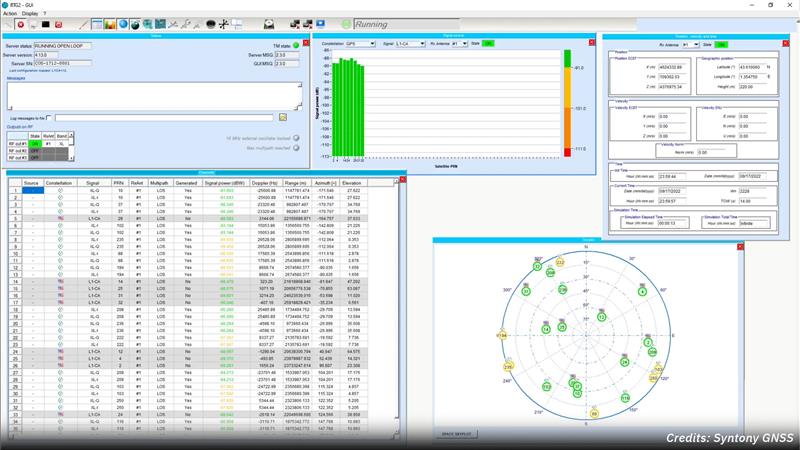
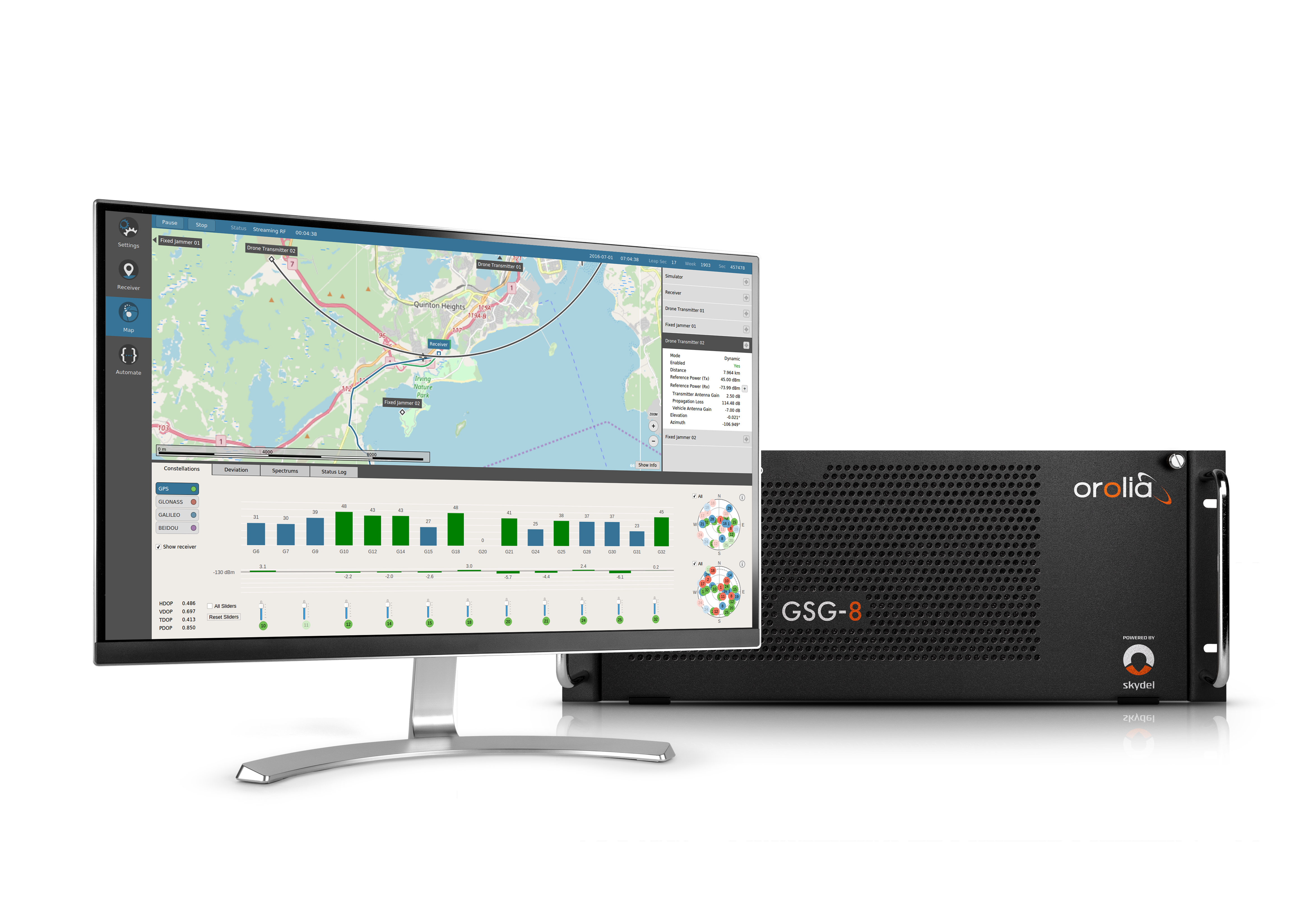
    JJ: Xona has established relationships with many of the receiver manufacturers out there. What’s publicly announced is that we have a strong relationship with Hexagon | NovAtel. They have been supportive of us for a long time now and are very advanced in their development and support for our signals. Some interesting announcements were made at JNC, with additional simulator and receiver manufacturer partners, with more to come. It’s going to be very exciting.

    I assume that, at least for a transitional period of several years, we’re talking about adding Xona to the traditional GNSS on the receivers — just like, many years ago, we went from GPS-only to GPS and GLONASS, and then, more recently, to multifrequency receivers that use all the satellites in view. Would there be any reason, at some point, to have Xona-only receivers?

    Image: Xona Space Systems
    Image: Xona Space Systems

    JJ: We have designed our signals to make it as easy as possible for receiver manufacturers to support them. We designed the signal so that most receivers can support them with just with a firmware upgrade. Many receiver manufacturers ask the same question that you just asked. For certain applications, maybe Xona PULSAR-only makes sense or maybe it’s just GPS and Xona or GPS and some other constellation and Xona. There are initiatives looking at all these scenarios but most of them today are GNSS plus Xona as a complement.

    It’s interesting what you said about firmware as opposed to needing new hardware.

    JJ: Correct. Given that we’re a startup we want to facilitate that as much as possible. For some of the advanced features — for example, enhanced signal security — the receiver needs more horsepower. So, it depends on the receiver. Some very optimized ASIC types of receivers may not have the horsepower for this.

    Of course, that horsepower is increasing anyway…

    JJ: Exactly. And there are other techniques, right? For example, some IoT receiver manufacturers are offloading a lot of the processing power to the cloud. So, the device is designed to have some sort of network connection. Then, if it needs to do heavy processing, it can do that in the cloud. That can be done in different ways. For future applications, some receiver manufacturers are looking to potentially add this capability to next generation receivers.

    Of course, the cloud introduces some lag…

    JJ: Right. It depends on the application. If it’s an IoT device or an asset tracker, maybe it’s not mission-critical. It just depends on the application.

    What markets or applications are you targeting first?

    JJ: Timing is a big area of focus for us for initial applications. The precision agriculture, construction, and surveying markets are on the cutting edge of GNSS technology and are seeking improvements to their existing capabilities as well. We’re in discussions with players in high-volume markets that see a lot of potential even in the initial PULSAR phases as well.

    Will the timing you provide be good enough for cell phone base stations? For television broadcasts? For financial transactions?

    Image: Xona Space Systems
    Image: Xona Space Systems

    JJ: Our patented system architecture will provide better timing accuracy than what GNSS provides today. One of its key pieces is that our satellites are designed to use GNSS signals, inputs from ground stations, and from other Xona satellites via cross-links for timing reference. Satellite clock and ephemeris will be updated very frequently which enables much higher accuracies.

    That raises a critical question, especially in the context of complementary PNT: will your satellites have their own atomic clocks or will they rely entirely on GNSS? If the latter, any problem with GNSS would also affect your system.
    JJ: This was one of the key points that we kept in mind when we architected the constellation. Each Xona satellite uses timing inputs from a variety of sources (GNSS, ground, and other Xona satellites). If GNSS degrades or is removed entirely, the PULSAR service can continue to operate in this GNSS-independent mode indefinitely. In this scenario, the PULSAR service performance will degrade a bit since the number of quality timing inputs are reduced but can still meet about the same level of performance that GPS provides today.

    The devil’s in the details. What kind of frequency standard will be on the satellites? How fast will their time degrade? How long will it remain sufficiently accurate for certain applications?

    JJ: I know where you’re going because I come from the timing industry. Since we’re a commercial company, one of the goals of the constellation design was to keep the cost of the satellites themselves as low as possible, so that we can deploy them at a low cost. We will leverage the very high-quality atomic clocks in GNSS satellites and ground stations in which governments have already invested. The type of clock that we use costs much less to keep the satellite cost down. The way to discipline these clocks properly is by updating them on a more frequent basis than traditional atomic clocks. This is done through the many inputs from GNSS, adjacent satellites, and the ground.

    If GPS goes down entirely, we’ll have bigger problems. Your system would continue to work and, even if degraded, will be a lot better than nothing. Your architecture, however, leaves room for people to say that we also need ground-based systems.

    JJ: That’s a really good point. The idea of having another LEO-based constellation is to take advantage of what can be done in LEO for GNSS. It’s not intended to replace ground-based systems or alternative systems. If you want the most resilient time and position, you need to use a combination of everything. GNSS alone will not give you the best combination. We always like to say that we’re complementing GNSS.

  • PNT by Other Means: Spirent

    An exclusive interview with Paul Crampton, Senior Solutions Architect, Spirent Federal and Jan Ackermann, Director, Product Line Management, Spirent Communications. For more exclusive interviews from this cover story, click here.


    Jan, what is the role of simulation in building a new GNSS with a very different constellation and very different orbits than existing ones?

    J.A.: Before the Xona constellation or any other emerging constellation has deployed any satellites, simulation is the only way for any potential end-user or receiver OEM to assess its benefits. Before you can do live sky testing, a key part of enabling investment decisions — both for the end users as well as the receiver manufacturers, and everybody else — is to establish the benefits of an additional signal through simulation. Once it’s all up there and running, there are still benefits to simulation, but then there’s an alternative. Right now, there really isn’t an alternative to simulation.

    With existing GNSS, you can record the live sky signals and compare them with the simulated ones. It’s a different challenge when it’s all in the lab or on paper.

    JA: Yes, but it is not an entirely novel one, at least to us at Spirent. We went through it with other constellations and signals -for example with the early days of Galileo. It’s often the case that ICDs or services are published before there is a live-sky signal with which to compare them. So, we do have mechanisms in terms of first generating it from first principle, putting out the RF, running tests with that RF, and then seeing that what we put out is actually what we expect based on our inputs and the ICD. Obviously, we always work off the ICD, which is essentially our master. Then, a lot of work needs to happen to turn what’s written in the ICD into an actual full RF signal, overlay motion, and all those things. So, we have a well-established qualification mechanism to make sure that whole chain works for signals when we don’t have a real-world constellation.

    Another very important check is when you work with some of the leading receiver manufacturers who have done their own implementation and you bring the two things together and see if they marry up. Then there’s always a bit of interesting conversation happening when things don’t line up, but we have a lot of experience in resolving that. So, there’s the internal (mathematical) validation of things — which we do internally, before we bring something to market — and then there is validation with partners, be they the constellation developer or a receiver manufacturer – or both.

    JJ: Then, one step further from the receiver manufacturers, what we call the OEMs, want to validate that the receiver is doing what it’s supposed to do. The best way to do that is with a simulator. You can try to get a live sky signal, but it can be difficult. You must get on a roof. It may not have an optimal environment for that. The best way to prove that in a controlled environment is with a simulator. Spirent works with two levels of customers: first, the receiver manufacturers, then all the application vendors or OEMs that use those receivers.

    JA: What we’ve done with the SimXona product recently follows very closely along those lines. First, we did validation ourselves. Then, we worked in a close partnership with Xona for them to certify that against some of their own developments. So, we follow that same proven development approach. It’s just that, in this case, the signal comes out of a LEO.

    What is the division of labor here between Spirent Communications and Spirent Federal? In particular, which device comes into play with Xona?

    PC: Spirent Federal has provided support to Xona but the equipment is the COTS equipment provided from the UK by Spirent Communications.

    JA: This Xona product does not currently implement any restricted technology only accessible through Spirent Federal. That is very much the case, especially for the aspects of secure GPS, for which we have the proxy company, Spirent Federal. However, the SimXona product is a development through Spirent Communications, albeit heavily aided by Spirent Federal, from a technical perspective and others, but there are no Spirent-Federal-specific restricted elements to SimXona or the current Xona offering.

    PC: If we ever had to go into a U.S. government facility to demonstrate SimXona or to sell it to them, that would be Spirent Federal that would be involved.

  • Online Exclusive: PNT by Other Means

    Online Exclusive: PNT by Other Means

    Image: Safran Federal Systems
    Image: Safran Federal Systems

    Due to the limited space available in print, I was able to use only used a small portion of the interviews I conducted for our July cover story. For full transcripts of them (totaling more than 12,000 words) see below:

    • Safran Federal Systems (formerly Orolia Defense & Security) makes the VersaPNT, which fuses every available PNT source — including GNSS, inertial, and vision-based sensors and odometry. I spoke with spoke with Garrett Payne, Navigation Engineer.
    • Xona Space Systems is developing a PNT constellation consisting of 300 low-Earth orbit (LEO) satellites. It expects its service, called PULSAR, to provide all the services that legacy GNSS provide and more. I spoke with Jaime Jaramillo, Director of Commercial Services.
    • Spirent Federal Systems and Spirent Communications are helping Xona develop its system by providing simulation and testing. I spoke with Paul Crampton, Senior Solutions Architect, Spirent Federal Systems as well as Jan Ackermann, Director, Product Line Management and Adam Price, Vice President – PNT Simulation at Spirent Communications.
    • Oxford Technical Solutions develops navigation using inertial systems. I spoke with Paris Austin, Head of Product – New Technology.
    • Satelles has developed Satellite Time and Location (STL), a PNT system that piggybacks on the Iridium low-Earth orbit (LEO) satellites. It can be used as a standalone solution where GNSS signals will not reach, such as indoors, or are otherwise unavailable. I spoke with Dr. Michael O’Connor, CEO.
    • Locata has developed an alternative PNT (A-PNT) system that is completely independent from GNSS and is based on a network of local ground‐based transmitters called LocataLites. I spoke with Nunzio Gambale, founder, chairman, and CEO.
  • Hexagon│NovAtel receivers track Xona PULSAR LEO signal generated by Spirent simulator

    Hexagon│NovAtel receivers track Xona PULSAR LEO signal generated by Spirent simulator


    Image: Hexagon │ NovAtel
    Image: Hexagon │ NovAtel

    Hexagon│NovAtel’s OEM7 GNSS receivers have successfully tracked Xona Space Systems PULSAR signals generated by a simulator from Spirent Communications. This test proved NovAtel GNSS receivers can track a Spirent simulated L-band signal identical to the PULSAR signal broadcast by Xona’s low-Earth orbit (LEO) satellites.

    The Xona LEO signals will complement GNSS, improving resiliency, security, and precision for positioning, navigation and timing (PNT).

    “Using Spirent’s simulated PULSAR signal, we have successfully tested our receiver’s capability to track the L-band signal planned to be broadcast from Xona’s LEO satellites,” Sandy Kennedy, VP of innovation at Hexagon’s Autonomy and Positioning division, said. “The OEM7 is a powerful platform, designed for both resiliency and flexibility; it is exciting to test our forethought by trialing this new signal type.”

    Join Hexagon│NovAtel on Thursday, June 15, at the ION Joint Navigation Conference (JNC) where it will co-present “Testing of LEO PNT for Resilience in GNSS Contested Environments.

  • Septentrio and Xona Space Systems collaborate on GNSS receiver

    Septentrio and Xona Space Systems collaborate on GNSS receiver

    Image: Septentrio
    Image: Septentrio

    Septentrio and Xona Space Systems have collaborated to develop an experimental receiver compatible with Xona multi-frequency PULSAR signals.

    The multi-frequency receiver will be one of the first to decode all PULSAR signals alongside standard GNSS signals such as GPS, Galileo, GLONASS and BeiDou.

    Septentrio will be showcasing this receiver at the ION Joint Navigation Conference, June 12-15, 2023, in San Diego, California.

    “As Xona PULSAR signals become available, a Septentrio receiver will offer users an opportunity to be the first to experiment with PULSAR and GNSS in many different scenarios,” Bryan Chan, VP of business development and strategy, Xona Space Systems, said.

  • Xona Space Systems certifies Spirent’s SimXona

    Xona Space Systems certifies Spirent’s SimXona

    Image: Spirent Federal Systems
    Image: Spirent Federal Systems

    Xona Space Systems has fully certified Spirent Federal System’s SimXona, a Xona satellite constellation simulator. Spirent will launch SimXona at the ION Joint Navigation Conference, June 12-15, 2023, in San Diego, California.

    SimXona can simulate the Xona low-Earth orbit (LEO) constellation on its own, and in tandem with Spirent’s positioning, navigation, and timing (PNT) and threat simulation capabilities. Spirent has developed LEO simulation solutions for both the military and commercial sectors, including modeling software that combines the simulation of precise LEO orbits and highly accurate GNSS signals — delivering greater realism for applications that have no margin for error.

    Spirent will be accepting orders for SimXona soon.

  • Syntony GNSS partners with Xona Space Systems

    Syntony GNSS partners with Xona Space Systems


    Credit: Syntony GNSS
    Credit: Syntony GNSS

    Syntony GNSS and Xona Space Systems have partnered to integrate the low-Earth-orbit (LEO) position, navigation and timing (PNT) constellation from Xona into GNSS simulators and receiver solutions from Syntony.

    This partnership is part of Syntony’s and Xona’s strategy to offer users PNT solutions.

    “The demand for advanced and resilient PNT services is skyrocketing,” Brian Manning, CEO of Xona Space Systems, said. “We are building an entire ecosystem from the ground up to address this demand. Having a full Rx-Tx solution available for all Xona signals is one of the keys to rapidly develop this LEO PNT ecosystem.”

    Syntony GNSS was the first PNT services provider to integrate all of the Xona demo signals into its multi-GNSS simulation solution, Constellator, in 2022. However, to offer a full testing solution, Syntony has also developed a Xona-enabled GNSS receiver.

  • Safran provides GNSS simulation solutions for Xona Space Systems LEO constellation

    Safran provides GNSS simulation solutions for Xona Space Systems LEO constellation


    Image: Safran Electronics and Defense
    Image: Safran Electronics and Defense

    Orolia, a Safran Electronics and Defense company, has partnered with Xona Space Systems to develop support for Xona’s low-Earth-orbit (LEO) constellation and navigation signals in its Skydel-powered simulation and testing products.

    Xona is developing PULSAR – a high-performance positioning, navigation and timing (PNT) service enabled by a commercial constellation of dedicated LEO satellites.

    “Our Skydel GNSS simulation engine will provide support for Xona’s PULSAR signals and satellite constellation to offer OEMs, developers, and integrators a unique tool that enables early testing and validation of Xona’s LEO PNT signal performance,” Pierre-Marie Le Véel, GNSS products director with Safran, said.

    The PULSAR service aims to advance PNT security, resilience and accuracy capabilities by augmenting existing GNSS while also operating as an independent PNT constellation.

    Skydel powers Safran’s advanced GNSS simulators such as GSG-8.

    Image: Xona Space Systems 
    Image: Xona Space Systems
  • Lockheed Martin invests in Xona’s commercial navigation constellation

    Lockheed Martin invests in Xona’s commercial navigation constellation

    Xona Space Systems, a company developing navigation technologies from low-Earth orbit (LEO), has received investment backing from numerous companies, including Lockheed Martin. Its latest financing round was oversubscribed, bringing the start-up’s total funding to more than $25 million.

    Xona is developing a high-performance commercial satellite navigation network, named Pulsar. Pulsar is a LEO system designed to provide resilient and trusted centimeter-level position anywhere on the globe.

    Within the past year, Xona more than doubled its number of full-time employees, launched its first orbital mission, and signed agreements with major players across the GPS/GNSS ecosystem such as Hexagon | NovAtel and Spirent Federal.

    Image: Xona Space Systems
    Image: Xona Space Systems

    The funding round was led by First Spark Ventures, who is joined by numerous new investors including Lockheed Martin Ventures, SRI Ventures (of SRI International), Velvet Sea Ventures, Gaingels, Airstream Venture Partners and Space VC. Existing investors also continue to show firm conviction in Xona’s accomplishments and market opportunity with participation from Seraphim Space, Toyota Ventures, 1517 Fund, MaC Venture Capital and Stellar Ventures.

    The new capital will accelerate development of Pulsar through several critical design milestones by expanding the team and building out Xona’s new R&D and manufacturing facility in Burlingame, California. This will enable more rapid design cycles and prepare for production.

    Xona’s first demonstration mission, Huginn, was successfully launched in May, and its second mission, Muninn, is planned to launch in 2023.

    Xona Engineer Nick Manglaviti setting up hardware-in-the-loop testing at Xona’s R&D lab in San Mateo, California. (Photo: Xona Space Systems)
    Xona Engineer Nick Manglaviti setting up hardware-in-the-loop testing at Xona’s R&D lab in San Mateo, California. (Photo: Xona Space Systems)

    “Xona’s approach to GNSS is poised to enable a whole new class of robust and reliable solutions in everything from automotive to drones,” said Manish Kothari, managing director of First Spark. “This is a technically challenging problem — a problem the Xona team is uniquely qualified and experienced to address. We are very excited to be part of this journey with them.”

    Xona’s core mission is to enable modern technology to operate safely in any environment, anywhere on Earth. To achieve this in industries such as automotive autonomy, drones and aerial mobility, precise knowledge of location and time is critical, and it must be robust against sources of potential interference or degradation. This is driving a need for global infrastructure that can support the demands of these applications as they continue to expand in both capability and geography.

    “The massive domain expertise of our supporters in everything from scaling global companies to deep technical knowledge of GNSS is both a validation of our team’s capabilities and a catalyst that has been instrumental in our growth and speed,” said Xona CEO Brian Manning.

    “As customer needs evolve, Lockheed Martin Ventures continues to work with companies we believe are on the forefront of emerging technology and that support increasingly resilient, hybrid systems,” said Chris Moran, vice president and general manager of Lockheed Martin Ventures. “We invested in Xona so they can continue to develop and build their commercial system to complement the greater GNSS architecture.”

    “The world would look very different today without GPS,” said Xona CTO Tyler Reid. “The ubiquitous robust precision that Pulsar can provide has potential to make the same level of global impact, not only in present and emerging markets, but we believe this global high precision can also enable entirely new devices and apps that we haven’t even thought of yet.”

  • Seen & Heard: Xona satellites, Russian bombs, better emergency response

    Seen & Heard: Xona satellites, Russian bombs, better emergency response

    “Seen & Heard” is a monthly feature of GPS World magazine, traveling the world to capture interesting and unusual news stories involving the GNSS/PNT industry.


    Xona’s first demonstration mission successfully completed testing at Experior Laboratories and prepares for launch on a Falcon 9 in May. (Photo: Xona)
    Xona’s first demonstration mission successfully completed testing at Experior Laboratories and prepares for launch on a Falcon 9 in May. (Photo: Xona)

    TAKING GNSS PRIVATE

    At press time, Xona Space Systems’ first in-space demonstrator satellite, named Huginn, was ready to launch on May 25 aboard Space X’s Transporter 5 mission. Xona said the launch is a significant step toward realizing its high-performance commercial navigation system, a constellation of small, powerful satellites in low Earth orbit that will meet the navigation and timing needs of intelligent systems.


    Photo: gorodenkoff/ iStock/Getty Images Plus/Getty Images
    Photo: gorodenkoff/ iStock/Getty Images Plus/Getty Images

    GEOLOCATED EMERGENCY CALLS

    U.S. cellular carrier AT&T is rolling out location-based routing to automatically transmit wireless 9-1-1 calls to the appropriate call centers, rather than relying on which cell tower handles the call. Cell towers can cover a 10-mile radius, and overlap with more than one call-center boundary. With location-based routing, a device can be located and routed within 50 meters of the device location. The “Locate Before Route” feature from Intrado enables AT&T to use device GNSS and hybrid information to route the call to the right call center.


    Russian fighter jets in better times. (Photo: Aterrassi/iStock/Getty Images Plus/Getty Images
    Russian fighter jets in better times. (Photo: Aterrassi/iStock/Getty Images Plus/Getty Images

    RUSSIAN NAVIGATION CHALLENGES

    Russian jets have been found using GPS receivers, while ground vehicles use paper maps, according to the UK Express. The GPS receivers were found taped to the dashboards of Russian SU-34s downed in Ukraine because of “the poor quality of their own systems,” UK Defense Secretary Ben Wallace said in a speech. With many reports of maintenance and aging issues for the Russian military, most likely the jets did not have quality GNSS receivers rather than the fault lying with GLONASS.


    A Russian short-range ballistic missile, believed to be an unexploded Iskander missile, was found near Kramatorsk, Ukraine, in this photo released March 9 by Ukrainian authorities. (Photo: National Guard of Ukraine handout via Reuters)
    A Russian short-range ballistic missile, believed to be an unexploded Iskander missile, was found near Kramatorsk, Ukraine, in this photo released March 9 by Ukrainian authorities. (Photo: National Guard of Ukraine handout via Reuters)

    UNEXPLODED BOMBS MAPPED

    The HALO Trust is partnering with Esri to map unexploded ordnance in an immediate humanitarian response to the war in Ukraine. More than 10 million Ukrainians have been displaced by the war and many are forced to move across a landscape littered with unexploded rockets, bombs and landmines. In response, Esri has committed its cutting-edge geographic information system (GIS) software resources, expertise and staffing in support of HALO’s mission in Ukraine. HALO already is using GIS to map the heaviest conflict zones, and the partnership with HALO will support planning for future clearance operations.

  • Hexagon | NovAtel joins Xona on assured PNT LEO constellation

    Hexagon | NovAtel joins Xona on assured PNT LEO constellation

    The launch of Xona’s test satellite begins a new era of innovation in assured PNT, with NovAtel receivers demonstrating early support of Xona’s signals

    Hexagon | NovAtel has signed a memorandum of understanding with Xona Space Systems to collaborate in the positioning, navigation and timing (PNT) development of Xona’s new low-Earth orbit (LEO) constellation.

    LEO constellations offer a new avenue of assuring PNT by providing stronger signals with satellites closer to Earth and improved positioning accuracy with rapidly changing geometry, NovAtel explained. Additional constellations and a larger number of available satellites improve visibility in cases where parts of the sky are obstructed by buildings and other obstacles.

    Also, as the threat of unintentional or malicious jamming and spoofing increases, it becomes important to consider alternative sources of PNT and resiliency methods, the companies said.

    “Precise and robust PNT forms the foundation for safe operation of modern applications such as automotive and autonomy,” said Brian Manning, CEO of Xona. “We are thrilled to be collaborating with NovAtel to demonstrate the benefits that our combined technologies can bring to these markets and many more.”

    Xona’s new constellation will transmit encrypted signals on two frequencies, both offering authentication, further building new levels of resilience against malicious interference. NovAtel is an early adopter of Xona’s signals and an industry leader in resilient assured PNT.

    “This agreement accelerates the future of alternative PNT,” said Sandy Kennedy, vice president of innovation at Hexagon’s Autonomy & Positioning division. “Our collaboration will demonstrate the complete assured PNT ecosystem that Xona has envisioned, and of which NovAtel is very excited to be part.”

    Xona and NovAtel will be presenting innovations in assured PNT and the future of GNSS at the Autonomy & Positioning Reality Summit during HxGN LIVE Global in Las Vegas, June 20-23.

    Image: Xona Space Systems
    Image: Xona Space Systems
  • Xona’s private GNSS satellite passes pre-launch testing

    Xona’s private GNSS satellite passes pre-launch testing

    Xona has completed environmental testing for its upcoming demo mission, a significant step towards realizing its high-performance commercial navigation system

    Xona Space Systems announced that their first in-space demonstrator has been delivered to Spaceflight Inc. for final integration after successfully completing testing and is scheduled for launch on SpaceX’s Transporter 5 in May.

    Xona is an aerospace startup developing a precision navigation and timing system in low Earth orbit. It plans to build an independent high-performance satellite navigation and timing system to meet the needs of intelligent systems.

    Xona’s first demonstration mission successfully completed testing at Experior Laboratories and prepares for launch on a Falcon 9 in May. (Photo: Xona)
    Xona’s first demonstration mission successfully completed testing at Experior Laboratories and prepares for launch on a Falcon 9 in May. (Photo: Xona)

    Satellite navigation systems such as GPS and Galileo are in the domain of major governments (and free to users). Xona said it is part of the new commercialized space movement, using it to bring benefits to satellite navigation and timing.

    Xona Space is launching Huginn, the first of two missions, demonstrating the capability of its Pulsar constellation. Pulsar’s architecture uses small, powerful satellites in low Earth orbit, more than 20 times closer to Earth than GPS satellites, which are in medium Earth orbit.

    Pulsar is planned to deliver high-performance navigation and timing services by combining security and signal designs with Xona’s patent-pending distributed atomic-clock architecture to enable robust precision navigation services from low-cost satellites. Its precision LEO positioning, navigation and timing (PNT) service leverages advances in small satellite technology to provide users with a secure and robust alternative to traditional GNSS.

    Xona’s system architecture utilizes the efficiency of small satellites to provide an affordable global system with more than 10 times better accuracy and 100 times better interference mitigation than legacy systems, the company claimed

    Huginn will transmit the first precision navigation signals from a LEO spacecraft, designed to test and validate the core software and hardware technology that Xona has developed for Pulsar. The mission will also demonstrate the functionality of end-user equipment on Earth and supporting ground systems.

    Huginn is now going through final integration with Spaceflight in preparation for launch on the scheduled Transporter 5 mission in May.

    “We’re thrilled that Huginn has successfully completed its very rigorous test campaign in preparation for launch and are incredibly proud of the Xona team for achieving such a critical milestone,” said Brian Manning, CEO of Xona. “Through this process, we learned a massive amount and will be incorporating these lessons into our second demo mission as well as the production satellites.”

    Following the Launch of Huginn, the Xona team will shift focus to the second demonstration mission as well as the development of the Block I Pulsar system.

    The final Pulsar constellation will consist of several hundred LEO satellites, delivering secure and robust precision PNT services designed to meet the needs of advanced applications such as self-driving cars, precision agriculture and construction, augmented reality, critical infrastructure, and many others.

    “It is inspiring to see what this team has been able to achieve going from a blank slate to orbit in less than a year from the time we completed our ground-based prototype testing,” Manning said. “This is a huge step in the development and deployment of our Pulsar constellation, and we’re looking forward to a very exciting year here at Xona.”

    Xona is backed by Seraphim Space Investment Trust (LSE:SSIT) and MaC Venture Capital, with participation from Toyota Ventures, Daniel Ammann (co-founder of u-blox), and Ryan Johnson (former CEO of BlackBridge, operator of the Rapideye constellation). Follow-on investors also include 1517 Fund and Stellar Solutions.