Wow, if one counts the number of new RTK GNSS receivers introduced in the past ~six months, it’s impressive. If you’re in the market for such a GNSS receiver, this is good news for you. More competition in the product and distribution side of the equation usually means better products and better service for the consumer. While Trimble, Leica and Topcon still dominate the majority of RTK GNSS receiver sales in North America, it’s pretty clear that others are eating away at their market share, and most of the new competitors don’t even design their own RTK GNSS receivers! The high-precision user community has more choices for high-performance RTK receivers than ever before even though there are only a handful of companies capable of designing reliable RTK GNSS receivers:
- Trimble
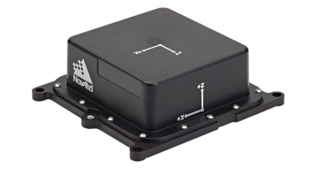
- Leica/Novatel
- Topcon/Sokkia
- Hemisphere GNSS
- JAVAD GNSS
- Septentrio
- Ashtech (owned by Trimble)
- Navcom Technology (owned by Deere & Co.)
Some of you may think that I should include “consumer” GNSS chipset designers like GlobalLocate/Broadcomm, SiRF/CSR, u-blox, NVS Technologies, etc. While some of the engineers at consumer GNSS chip companies clearly have the knowledge (and experience in some cases) of RTK design, none of these chipsets are integrated into commercial RTK products. Yes, I know some of you have “made RTK work” with consumer GNSS chipsets, and I think that speaks volumes about where RTK capability will end up, but it’s not quite there yet with respect to a reliable commercial implementation.
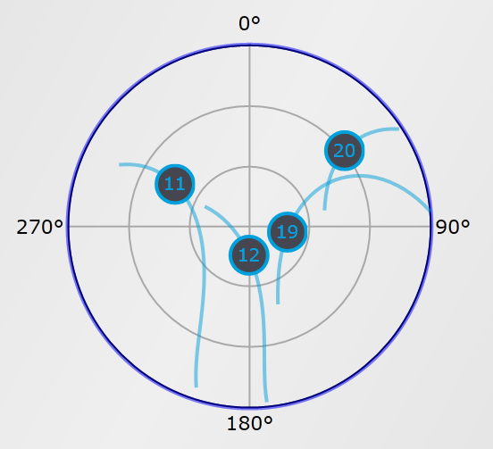
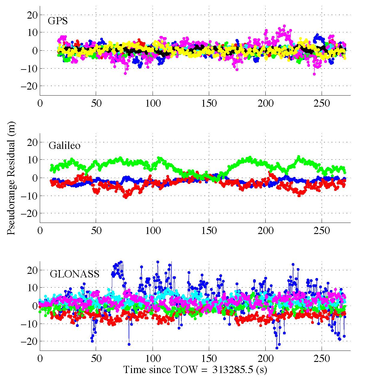
 Regardless of consumer GNSS chipsets, the multi-constellation, multi-frequency RTK GNSS receiver landscape is changing quickly, even before the deployment of the new L5 signal and Galileo as I’ve written about previously (Why the Price of Precision Receivers Will Drop). This is because of the proliferation of RTK GNSS receiver “boards” such as the Trimble BD series, Novatel OEM series, Hemisphere GNSS P series, and Septentrio AsteRx series. System integrators like Altus, Geneq, CHCNav, Stonex, FOIF, Carlson, etc., are scooping up these proven receiver boards and designing their own systems around them.
There are more RTK GNSS system integrators in China than any other geographic region in the world. It makes sense because the Chinese market for RTK GNSS receivers is larger (much larger) than any other market in the world. Even though you don’t see many Chinese-made RTK GNSS receivers sold in North America (you do see them sold in Africa, Europe and South America), they sell a huge number of them within China. I would even go as far as to say that the North American market is likely considered a “leftover” market since the North American RTK GNSS receiver sales volumes are so low in comparison. In other words, North America is such a small market for RTK GNSS receivers, it’s not worth the marketing/selling effort it requires. That said, some companies, like CHCNav, are ramping up their marketing and selling efforts in North America.
To put it in perspective, let’s take a look at some of the new RTK GNSS products (and services) introduced in the past ~6 months (in alphabetical order). I’m sure I’ve left some out because there are so many on the market, but this gives you an idea of the broad range of RTK GNSS receivers available. Again, these are products introduced just in the past ~6 months.
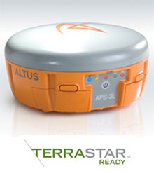
Altus APS-3L
Key benefit: Integrates Terrastar’s new 10cm real-time precise positioning service. Uses a Septentrio GNSS receiver board.
Carlson SuperG
Key benefit: Tablet-based RTK GNSS system capable of 1cm real-time accuracy. Uses a Novatel RTK GNSS receiver board.
CHCNav X900+ GNSS
Key benefit: Low-cost RTK GNSS made in China. Uses a Novatel RTK GNSS receiver board.
FOIF A30
Key benefit: Low-cost RTK GNSS made in China. Uses a Trimble RTK GNSS receiver board.
Geneq SXBlue III-L
 Key benefit: Low-cost, palm-sized receiver integrates OmniSTAR’s G2/HP/XP 10cm service and also 1cm RTK capability. Uses a Hemisphere GNSS receiver board.
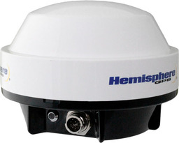
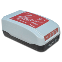
Hemisphere A325 GNSS Smart Antenna
Key benefit: All-purpose, low-cost RTK GNSS receiver.
Javad J-Shield
Key benefit: Innovative radio frequency (RF) interference visualization (onboard spectrum analyzer) and interference reporting feature.
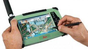
Leica CS25 GNSS
Key benefit: Tablet-based RTK GNSS system capable of <10cm real-time accuracy.
Navcom StarFire Over IP
Key benefit: 5cm (horizontal RMS) real-time correction service delivered via IP (Internet Protocol) as an alternative to delivering via satellite communications.
Sokkia GRX-2
Key benefit: Low-cost, lightweight (1.00kg) RTK GNSS receiver. Same as Topcon HiPer V.
Topcon HiPer SR
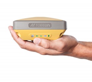 Key benefit: Palm-sized, lightweight (.85kg) RTK GNSS receiver capable of surviving a two meter drop.
Spectra Precision ProMark 700
Key benefit: Lightweight (.65kg) RTK GNSS receiver. Uses Trimble RTK GNSS receiver board.
Stonex S9III
Key benefit: Lightweight (1.2kg) RTK GNSS receiver. Uses Trimble RTK GNSS receiver board.
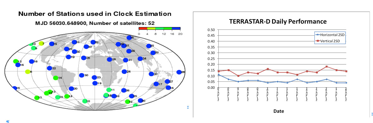
Terrastar Terrastar-D Satellite Correction Service
Key benefit: World-wide, real-time 10cm (horizontal 2DRMS) GNSS correction service delivered via satellite.
Trimble R-10
Key benefit: Lightweight (1.12kg) RTK GNSS receiver.
Trimble RTX
Key benefit: World-wide, real-time 4cm GNSS correction service delivered via satellite.
Looking at this list, there are two key trends:
- RTK GNSS receivers are becoming smaller. Moore’s Law, or a GNSS version of it, is definitely in effect.
- The price of RTK GNSS receivers is falling, as low as US$7,000 (retail price) for a full RTK GNSS receiver in North America and likely less than that in other parts of the globe.
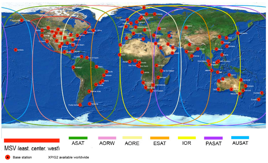
 Another clear trend is the advancement of global GNSS augmentation services (OmniSTAR, StarFire, Terrastar, Trimble). RTK networks are great when you have access to them, but in many places of the world, RTK networks aren’t available or there isn’t a data link (wireless network) available to receive corrections. This has created an opportunity for satellite-based (and Internet-based) global correction services. Whereas OmniSTAR (serving the agriculture and mapping markets) and StarFire (serving primarily the agriculture market) have been long-term players in this market, Terrastar recently announced its entry into the market and Trimble (who also owns OmniSTAR) announced its new RTX service.
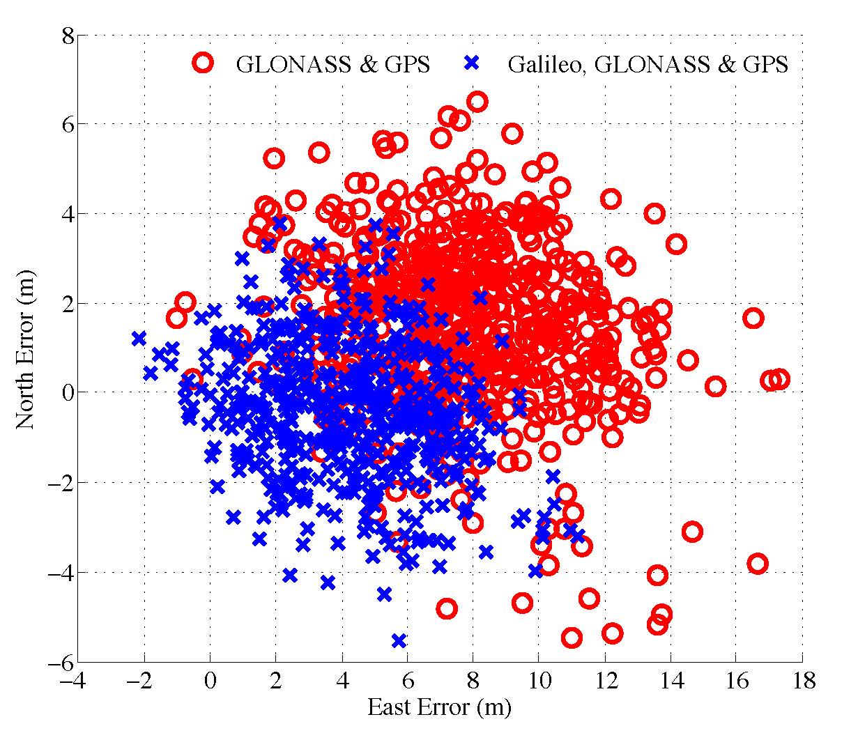
The advantage of satellite-based correction services is that you can receive them virtually anywhere in the world as long as you have a clear view of the sky. The disadvantage is that the initialization time it takes to achieve the stated real-time accuracy (<10 cm) is up to one hour if you aren’t starting on a known point. The addition of GLONASS helps reduce the initialization time, but it’s still much longer convenient than RTK initialization due to the sparse network of reference GNSS receivers used.
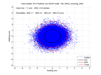
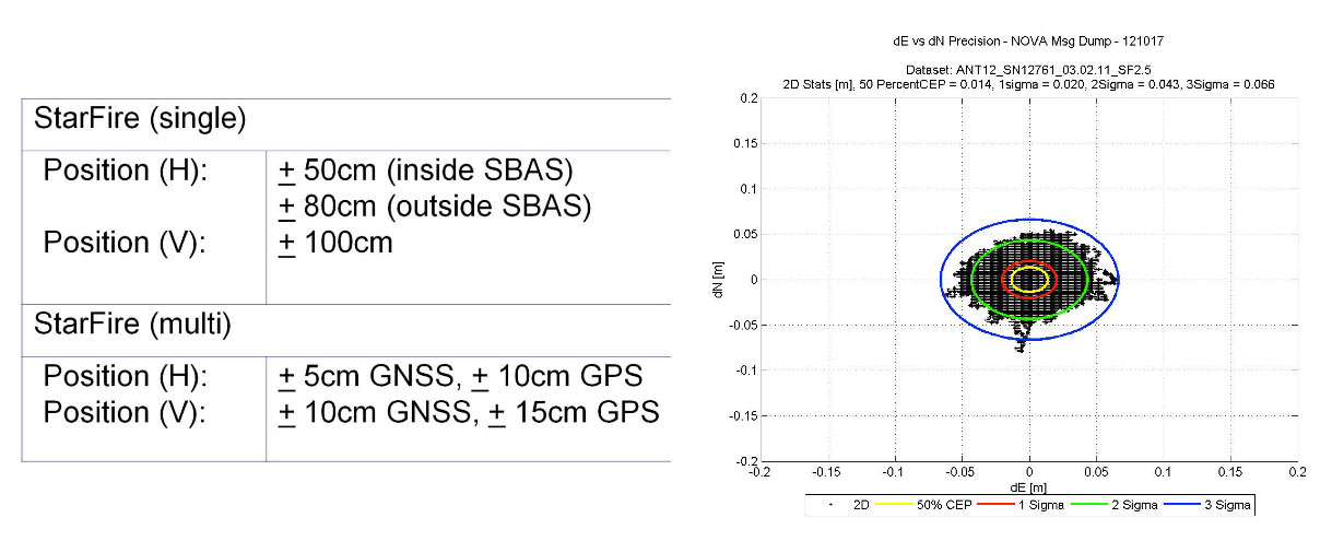
Furthermore, the accuracy provided by the satellite-based correction vendors isn’t as good as RTK. OmniSTAR and Terrastar advertise 10-cm (horizontal 2DRMS) real-time accuracy. StarFire advertises 5-cm (horizontal RMS, as opposed to 2DRMS values given for competing services) real-time accuracy, and Trimble RTX advertises 4-cm (horizontal 2DRMS) real-time accuracy. RTK accuracy is solid at 2-cm or less.
Lastly, in order to access satellite-based correction services, GNSS receivers must be specifically designed (additional hardware is required), so the reality is that few receivers on the market are capable of utilizing these services. But, if you’re performing mapping work across a large geographic area where RTK networks aren’t consistently available and you don’t want the go through the pain of owning, maintaining, and setting up your own RTK base station, the satellite-based correction service is a solid solution.
For more information on these satellite and internet-based correction services, GPS World’s Tony Murfin published a detailed article this month entitled “Look, No Base-Station! — Precise Point Positioning (PPP)“. Tony offers some detailed insight into these services.
Nightmare on GIS Street: Accuracy, Datums, and Geospatial Data
Changing the subject a bit, but highly related to RTK GNSS receivers, is the subject of datums and geospatial data. Last month, I wrote an article for Geospatial Solutions that is a first in what promises to be a very interesting and complex discussion. I received quite a bit of email on the article with many good points made. If you think you know how to handle horizontal datums in a GIS environment, you might want to take a look at the article and follow the thread over the next few months. You can read the article by clicking here.
Thanks and see you next month
Follow me on Twitter by clicking here.