Plus: UAVs in Ukraine, vineyard protection and a royally awesome light show
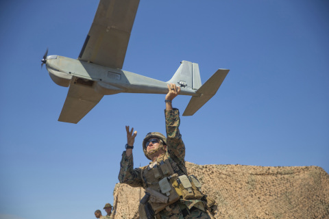
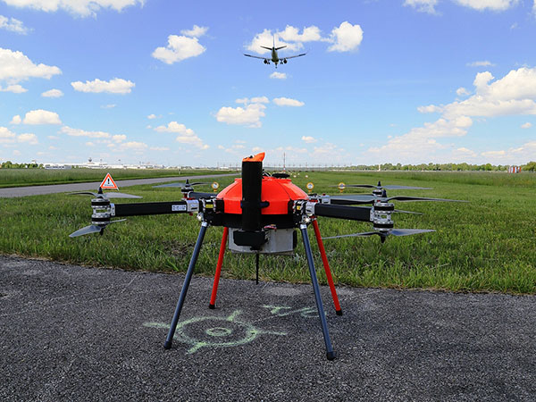
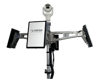
Taser-equipped drones
We hear of mass shootings in schools, and this week on a crowded street in Philadelphia a school adviser was among those killed. Everyone continues to be outraged, but as we wait for any sort of positive, preventive action by our leaders, an idea from a drone developer was shut down before it even got out of the company.
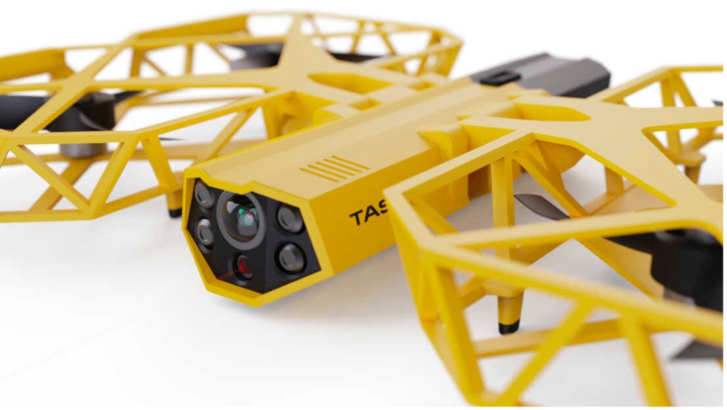
Axon Air supplies Tasers and body cameras to police forces, and last year someone came up with the idea of loading a drone with a Taser so that it could find and suppress a gunman in a school. There are a lot of problems with the idea, and Axon’s own internal artificial-intelligence board nixed the idea.
Doors were the board’s primary concern. What happens if something triggers a drone to Taser kids in the classroom or hallway? Could autonomous drones or even multiple intelligent cameras detect an actual weapon of any description, and set off an automated response?
We use metal detectors on entry to some schools to deter carrying weapons to class, but how about recognizing carried weapons in the school? To even attempt an automated drone response, you would need multiple Taser-equipped drones in all areas of a school, as well as time to test and verify that any autonomous response would work correctly.
Could anything along these lines be something we might consider in any way?
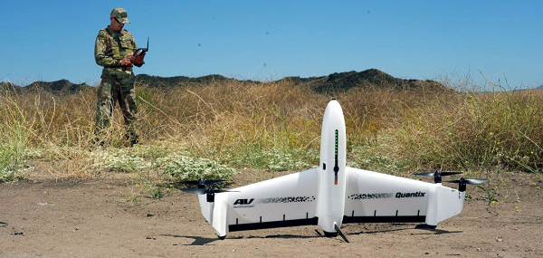
Keeping watch at vineyards
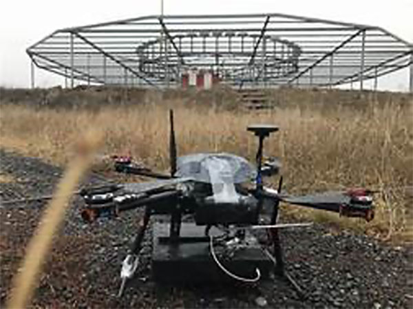
A team at Washington State University (WSU) has come up with a new twist on an old idea. Hawks have been trained effectively in the past to chase off flocks of birds on or around runways at airports or to protect crops. Now WSU has developed a system that uses intelligent cameras to detect birds, and which is then able to dispatch drones to the invaded area to chase off the birds.
The system has been tested to protect local grapevines. Bird fruit losses were actually reduced by ~50% following manual drone flights, which also reduced the number of bird invaders four-fold.
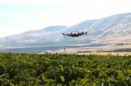
Nevertheless, birds can learn over time how to get round such deterrence, so WSU proposes disguising drones as predator birds and arming them with distress calls or raptor-attack behavior. WSU is looking for wine-industry support to develop this approach into a feasible, deployable solution.
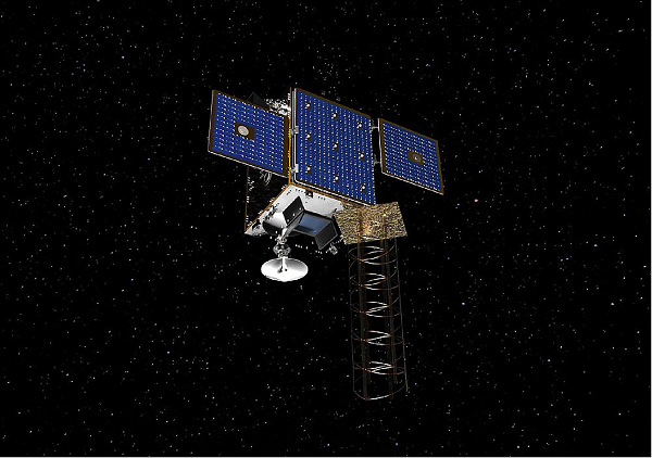
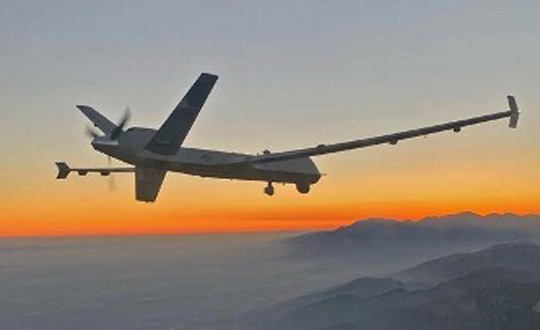
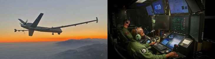
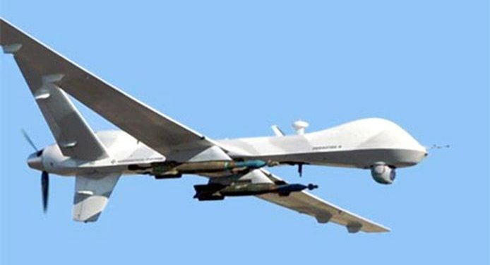
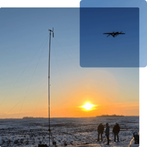
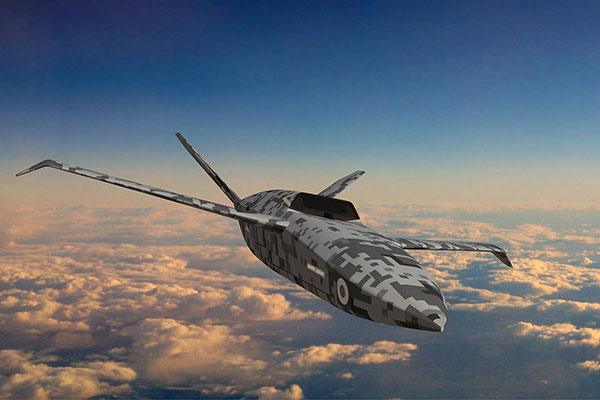
Grey Eagles might fly in Ukraine
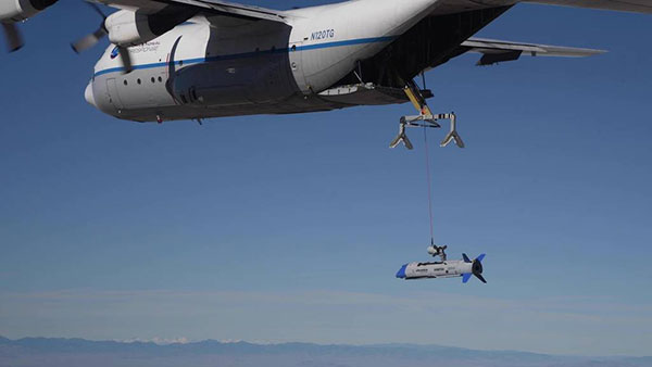
The United States is considering providing Grey Eagle UAVs (the Army version of the Predator) to Ukraine — the first time a relatively high-tech drone with weapon-carrying capability would be supplied for the Ukrainian conflict.
The Grey Eagle can carry up to eight hellfire missiles, fly for 30 hours at relatively high altitude, and gather masses of surveillance information — a formidable, front-line weapon/reconnaissance system. Four UAVs are envisaged; missiles would not be included in the first round, but would likely come soon after.
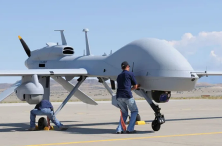
Th Grey Eagle UAV system usually requires months of advanced training, but the Ukrainian forces have already been operating the smaller missile-carrying Turkish Bayraktar-TB2, so training may be reduced to a few weeks for operational necessity. Meanwhile, the sale must first be approved by Congress, so nothing is yet certain.
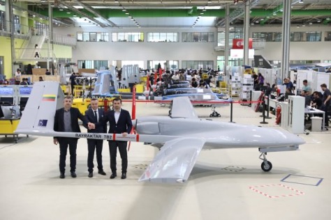
Before the war with Russia, Ukraine purchased up to 30 TB2 drone systems, and many have seen action in the current conflict. A crowdfunding effort by a TV station in Lithuania gathered enough cash to buy yet another TB2 to help Ukrainian forces stay in the fight.
However, Baykar, the Turkish manufacturer, declined the sale, instead offering to donate a TB-2 so that the Lithuanian funding could go toward humanitarian aid for the Ukrainian people.
Meanwhile, in Estonia the Internal Security Service (KAPO) arrested a man leaving the country who is suspected of supplying commercial drones to the Russian forces.
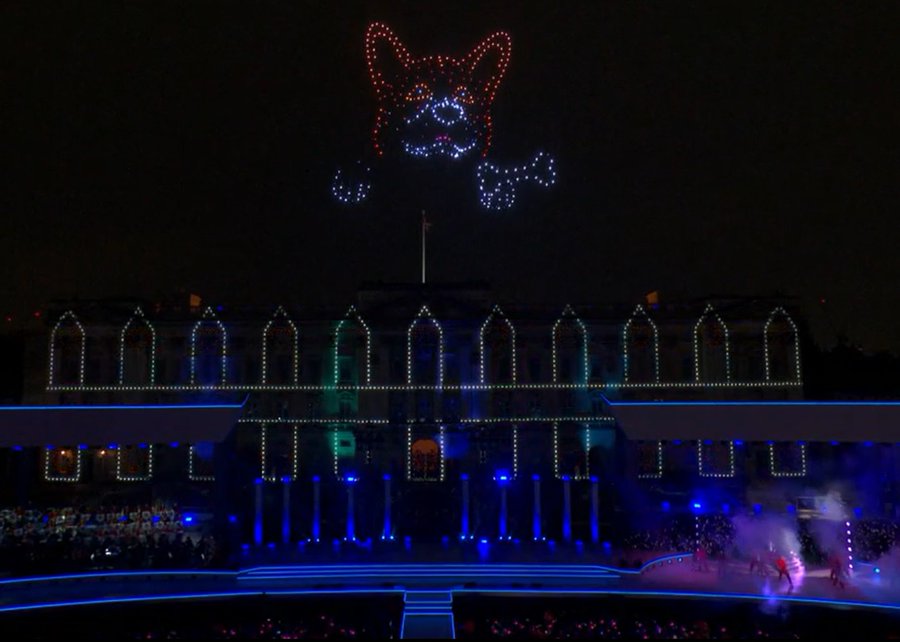
Honoring the Queen
Finally — on a much lighter, respectful note — a drone light show was a big hit over Buckingham Palace in London on the occasion of the Platinum Jubilee concert for Queen Elizabeth II.
The queen has been on the United Kingdom’s throne for 70 years. To celebrate, the Brits hosted a major shindig. As part of a concert held outside Buckingham Palace, 400 lightshow drones from SkyMagic flew above the palace. The drones created various designs, showing the message “Thank you, ma’am”, a Corgi, a handbag, a teapot pouring into a teacup, guards in busbies, and a figurehead postage stamp — all good fun received in good spirit by a huge milling crowd.
Food for thought
To sum up, maybe it’s not such a good idea to have drones equipped with Tasers in schools, but perhaps it’s an idea we could build on to better protect our kids.
Trained, autonomous drones that take off and chase birds when they descend on vineyards — could this be a better solution than low-slung netting?
The war in Ukraine rages on. Not only the West, but also some Eastern countries pitch in with support.
Finally we saw a drone light show for the queen during the Jubilee celebration of her 70 years reign. We’re seeing a lot of smart drone potential out there.