
Simon Peng, director of the international department at ComNav Technology, talks about the company’s new rod-less GNSS receiver and more surveying and mapping antennas featured at the INTERGEO 2023 booth.
Author: Matteo Luccio
-

INTERGEO 2023: YellowScan
Morgane Selve, head of marketing at YellowScan, talks about the company’s new surveying technology, its target markets, use cases and more from INTERGEO 2023.
-
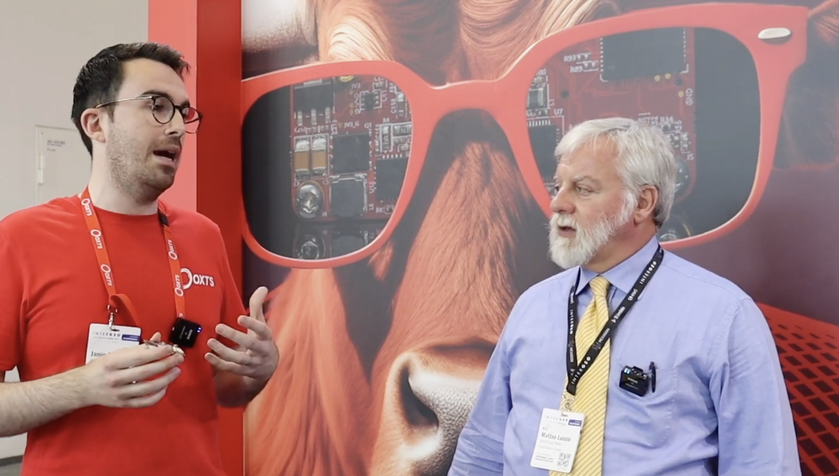
INTERGEO 2023: OxTS
GPS World Editor-in-Chief, Matteo Luccio, stopped by the OxTS booth to check out its latest release, the xRED3000, which made its debut at INTERGEO 2023.
-
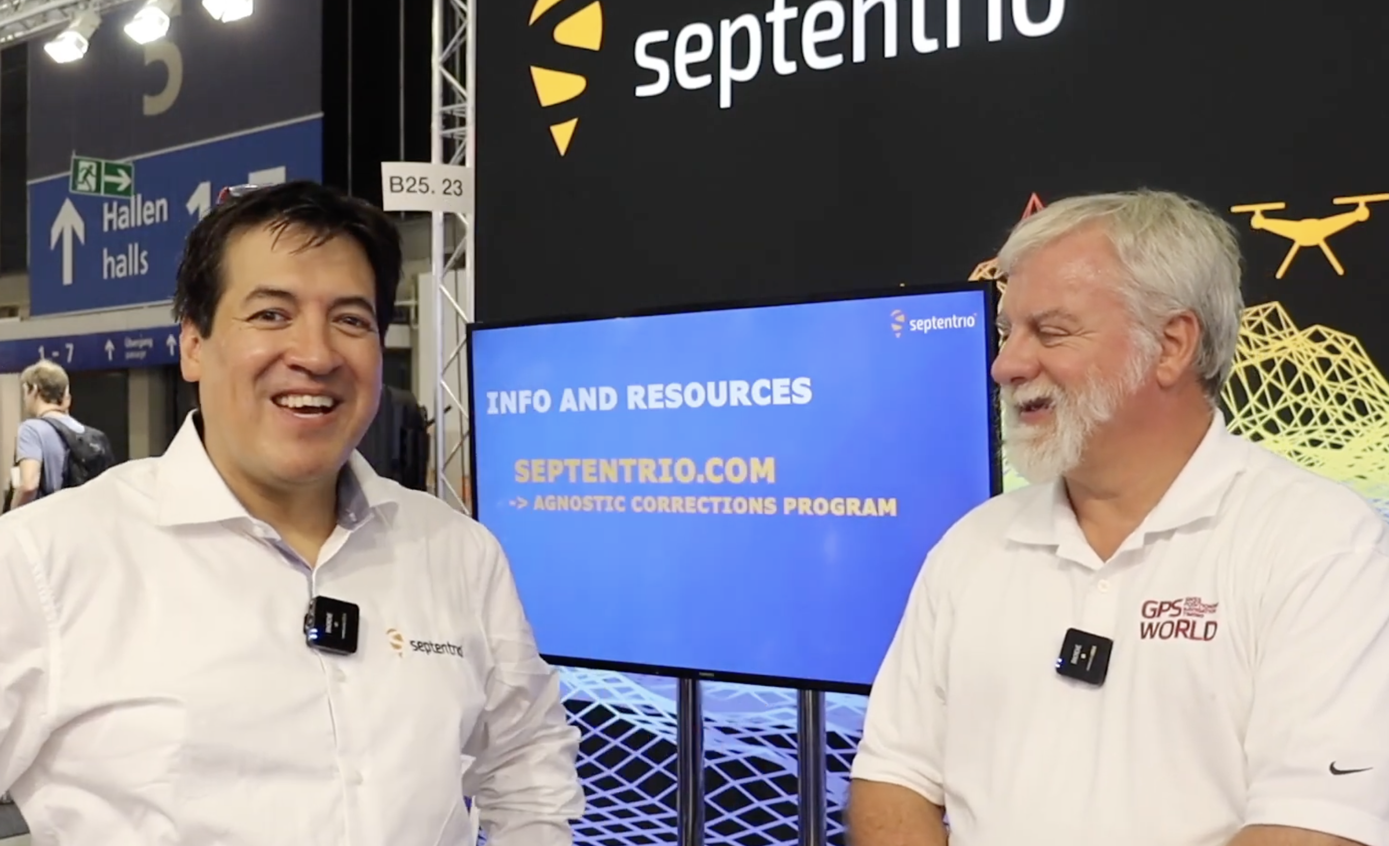
INTERGEO 2023: Septentrio
GPS World Editor-in-Chief, Matteo Luccio, met with Gustavo Lopez, market access manager, Septentrio, to discuss the company’s two new open-source hardware projects and new releases featured at INTERGEO 2023.
-

EAB Q&A: What accuracy level should public services end and private ones begin?
“Regarding augmentation services such as Galileo HAS, at what accuracy level should public services end and private ones begin?”

Michael Swiek “This reminds me of the questions that arose many years ago over whether the U.S. Coast Guard differential correction service (DGPS) would unfairly compete with commercially provided augmentations. I don’t know whether there is a single rigid number that fairly separates publicly provided augmentations from commercially provided ones, or if such a number could be set for all time. It would probably need to be flexible, and evolve over time as needs change and technological improvements come to pass. In the end, the public-provided service should be at a reasonable minimum level to address an identifiable broad public need — such as safety of life requirements — but not so fine as to undercut finer levels of accuracy for which there is a market of users willing to pay for such services from the private sector. This could ensure a responsible service provision for the public good, as well as a healthy competitive environment for commercial technological development.”
— Michael Swiek
GPS Alliance -
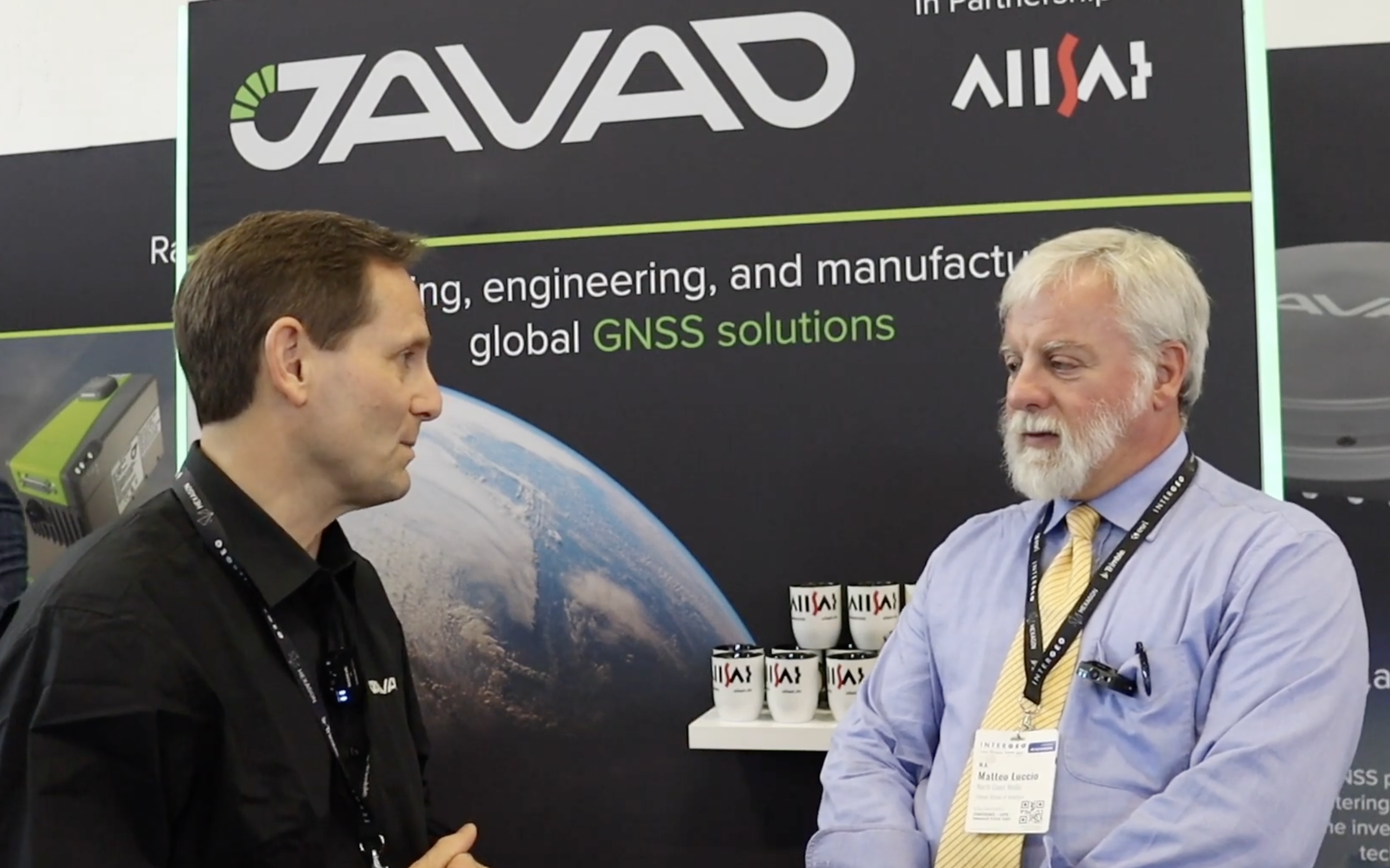
INTERGEO 2023: JAVAD GNSS
Matteo Luccio, editor-in-chief of GPS World, met with Andrew Scott, head of marketing and sales, JAVAD GNSS, to discuss INTERGEO 2023 and what to expect next from the company. Watch this exclusive interview and more from INTERGEO 2023.
-
INTERGEO 2023: Recap

On the first day of INTERGEO 2023, attendees flooded the exhibit hall. (All photos taken by GPS World staff). The 29th INTERGEO conference and trade show on geospatial technology and data was held from October 10 to 12 in the German capital Berlin. This year’s event took place under the famous radio tower and in the brand new Hub27 conference center, part of the 42-acre Messe Berlin exhibit and conference center. The annual event takes place each year in a different German city.
Over the three days, 560 vendors from more than 40 nations exhibited their products, while people from across the globe attended presentations and vendor exhibits on geodesy, geoinformation and land management. Topics covered included Earth observation and environmental monitoring, maritime solutions, unmanned systems, building information modeling (BIM), GIS and artificial intelligence, metaverse and cloud applications, smart cities, digital twins, COPERNICUS and Galileo satellite services, 4D geodata, 3D cadaster, and smart mapping applications. The focus was on how these technologies and data are used to address issues of housing, mobility, sustainability, climate change and internal security, monitoring for disaster prevention and protection, and the creation of more equitable living conditions.
In conjunction with the conference, the German Cartography Congress 2023 also convened, with lectures on such topics as atlases, map collections, map design, and artificial intelligence. In her keynote address, Professor Monika Sester discussed how machine learning methods help with generalization and Professor Sebastian Meier gave a provocative lecture titled “Critical Cartography in Times of Hallucinating Machines.”

Attendees at a presentation from the exhibit hall stage. Day 1, Tuesday, October 10
On the first day of INTERGEO 2023, keynote speakers included Jack Dangermond, founder and CEO of ESRI, professor Paul Becker, president of the Federal Agency for Cartography and Geodesy, Scott Crozier from Trimble and professor Rudolf Staiger, president of the organiser DVW e.V. The main theme was the centrality of geospatial science and technology to sustainability because the basis of socially, ecologically and economically sustainable decisions lies in the understanding of the Earth system. This is increasingly achieve using geoinformation gathered through Earth observation and many other sensors.
GPS World conducted short interviews with Gustavo Lopez, market access manager at Septentrio and Deyn Deng, overseas sales manager at Unicore.

Some surveying supplies that have been used for centuries are still in use today. Day 2, Wednesday, October 11
On the second day of INTERGEO 2023, the focus of the keynote presentations, like that of many of the products in the exhibit hall, was “smart cities” and building information modeling (BIM), including a panel discussion on the importance of BIM in Germany. Related themes discussed in the presentations, on the exhibit hall stages, and at vendors’ booths included connected urban twins, sensor data, real-time applications, urban twins as drivers of innovation for local governments, maritime solutions, Earth observation, and unmanned systems.

An autonomous bathymetric vessel from Teledyne Marine. At a press conference on navigating sustainability through geospatial insights the participants were Rudolf Staiger, president of DVW, Boris Skopljak, Vice President survey & mapping strategy and product marketing at Trimble, Thomas Harring, president Geosystems at Hexagon, Gerd Buziek, Business Relations Executive at Esri Deutschland and Godela Roßner, head of Earth observation at Deutsches Zentrum für Luft- und Raumfahrt (DLR).
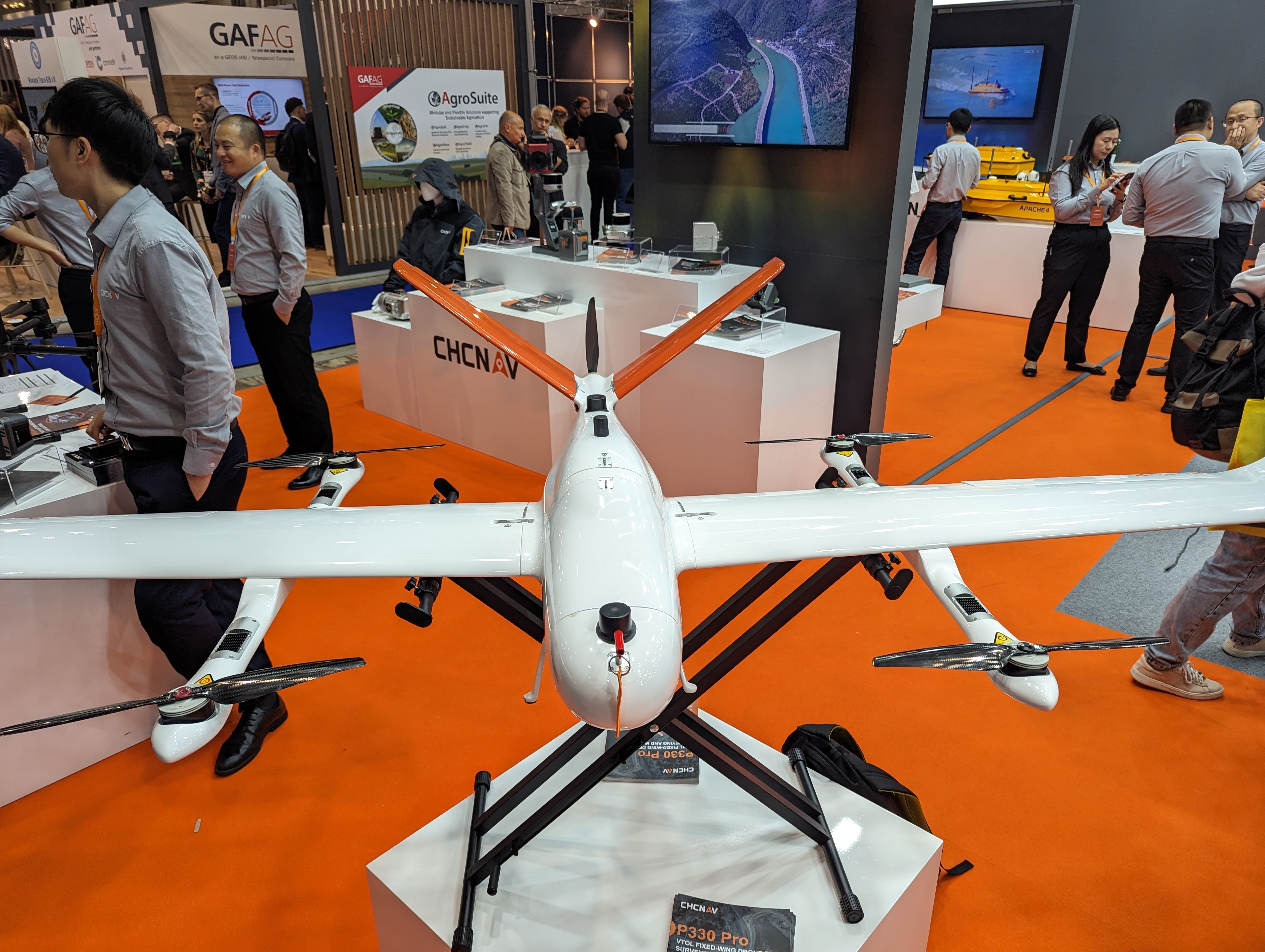
This UAV from CHCNAV can take off and land like a helicopter and fly like a plane. GPS World conducted short interviews with Andrew Scott, Head of Marketing & Sales at JAVAD GNSS; Jamie Birch, product manager at OxTS; Mandy Clayton, Southeast Regional sales mganager at GeoMax (part of Hexagon); Florian Ollier, head of marketing & communications at SBG Systems; Andrei Gorb, division product manager, Mapping Solutions at CHCNAV; Rachel Wong, Survey & Engineering Product Line, product manager at CHCNAV; Marcel Visser, CEO of NavCert; Ken MacLeod, product line manager and Bruce Shields systems group director at Tallysman; and Morgane Selve, head of marketing at Yellowscan.
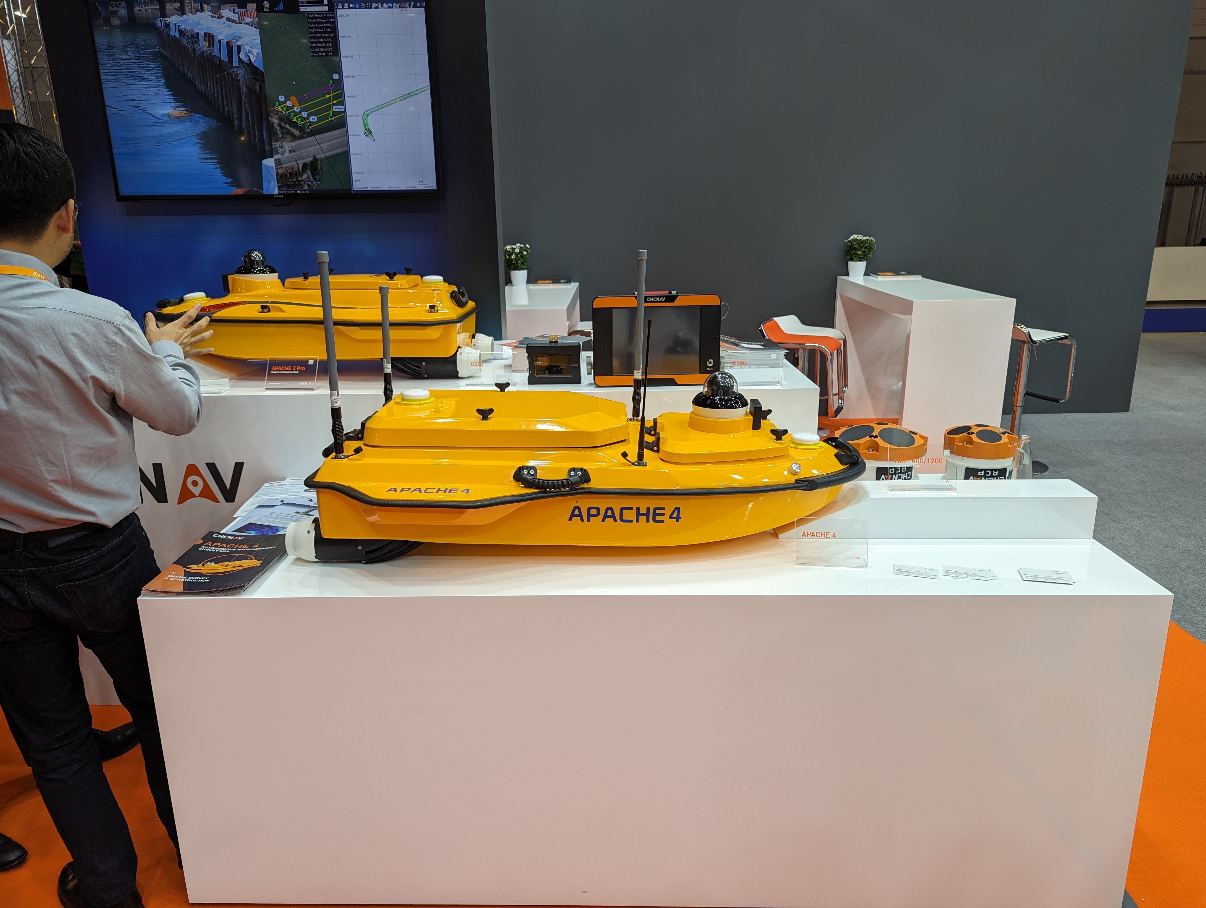
CHCNAV’s Apache 4 autonomous bathymetric vessel. Visser told GPS World that his company had obtained from the German federal government sole responsibility to certify UAVs in Germany for commercial operations, including flights beyond visual line of sight (BVLOS).

Trimble’s GEDO CE 2.0 track measurement trolley. -

First fix: Overlapping technologies
Image: lakshmiprasad S/iStock / Getty Images Plus/Getty Images The natural sciences overlap — hence such fields as geophysics, astrobiology and biochemistry. So do the social sciences and humanities — hence such fields as political economy, political philosophy and social economics. Our very individual identities consist of multiple, intersecting factors — including gender, race, ethnicity, class, and sexuality.
Analogously, this magazine covers overlapping technologies. While we focus on global navigation satellite systems (GNSS) and other positioning, navigation and timing (PNT) technologies such as inertial systems, these technologies are often embedded in larger systems that also include sensors (such as lidar, radar and cameras) and, increasingly, artificial intelligence (AI).
That is why we so often cover unmanned aerial vehicles (UAV) — which use GNSS for positioning navigation, geofencing and stabilization; use sensors to collect data; and will soon use AI for mission planning and execution — and autonomous vehicles — which use GNSS and sensors for positioning and navigation and already use AI to make driving decisions in complex environments.
Of course, UAVs are also much in the news these days:
- Since the start of the Russian invasion of Ukraine, both sides have been using several hundred UAVs every day. According to the Royal United Services Institute, a British think tank, the Ukrainians are losing some 10,000 UAVs a month on the battlefield. (By way of comparison, the French army currently has a little more than 3,000 UAVs in its arsenal.)
- In the United States, the number of companies granted waivers by the Federal Aviation Administration to conduct beyond visual line of sight (BVLOS) operations keeps growing, enabling them to conduct much more efficient monitoring, inspections and mapping of infrastructure.
- Following a recent increase in encounters between swimmers and sharks along beaches on Long Island, New York, in July UAVs began sweeping the ocean three times a day to detect danger. On July 14, the state’s governor, Kathy Hochul, announced the allocation of $1 million to purchase 60 new shark-monitoring UAVs.
- Also in July, 350 UAVs were lost during a practice light display show in Melbourne, Australia, ahead of a scheduled performance for the opening of the women’s World Cup. The UAVs appeared to stop mid-show and plummet into the Yarra River, most likely due to interference with GPS signals.
- On August 30, researchers in Switzerland unveiled a small AI-powered quadcopter UAV that can outfly some of the best human competitors in the world. It whipped its way around an indoor racecourse in a matter of seconds and was able to beat its human rival in 15 out of 25 races, according to the journal Nature.
From mapping coastal areas with airborne lidar bathymetry to delivering medicines, from locating lost hikers to mapping fires, from enhancing the situational awareness of first responders to monitoring invasive plant species, UAVs are quickly becoming ubiquitous and essential.
Meanwhile, in San Francisco, where autonomous vehicles are already ubiquitous, but not everyone considers them essential, an anonymous group of protesters is surreptitiously placing orange traffic cones on some of them, confusing their sensors and rendering them inoperable.
Matteo Luccio | Editor-in-Chief
[email protected] -
ION GNSS+ 2023: Racelogic
GPS World Editor-in-Chief, Matteo Luccio, met with Elijah Owens, technical sales engineer, Racelogic, to highlight the company’s new Labstat 4 technology and more from ION GNSS+ 2023.
-

GNSS is on the go
Image: CHCNAV The phrase “positioning, navigation, and timing” (PNT) — widely used in our industry, including on this magazine’s cover — encapsulates a wide range of applications for global navigation satellite systems (GNSS) and for other technologies that provide some or all the same services. Subsumed under “positioning” is one of the most widespread uses of GNSS, which is data collection to make maps, enable geographic information systems (GIS), and populate the databases that power the many location-based services (LBS) applications on smartphones.
Increasingly, GNSS positioning is also integrated with systems for indoor positioning to enable seamless tracking of people, equipment and products, and with a variety of sensors to monitor their status and environmental conditions.
GNSS positioning and mapping will benefit from the advent of G5 cellular networks, which will vastly increase download speeds, decrease latencies and expand connectivity. While it will transform every industry, 5G’s impact will be especially felt in urban settings and pave the way for tomorrow’s smart cities.
In this month’s cover story, we focus on these aspects of GNSS by presenting three brief case studies:
- Industrial automation, using u-blox receivers.
- Golf course irrigation planning and construction, using Trimble Catalyst.
- Land surveys to update China’s national GIS, using a CHC Navigation LT700 receiver.
Safety with industrial automation
Industrial automation is an extremely wide area,” said Ludger Boeggering, u-blox senior principal segment manager, EMEA Energy & Automation. “It includes process and production automation, where it is used to automate the production environment. In more remote conditions, where it is less time-critical, it is used to understand what happens in the automation environment. Lastly, it is used to remotely supervise and monitor what is happening in such an environment.”
Nowadays, businesses want to monitor their production environment “all the way down to the production of a single device,” Boeggering said. “That’s the area in which we operate.”
One application of industrial automation on which u-blox is increasingly focusing is the safe, connected worker, which can refer to someone inside a building on a factory floor or someone outside, such as on a construction site. Another one is mobile robotics and collaborative robotics.
“Our customers are in all segments and verticals — including electronics, machine manufacturing, oil and gas, transportation, chemical, food, water, paper and energy,” Boeggering said. “It’s really a broad spectrum of industrial companies that are using these tools and products. We are focused on the leading customers in that area and are working with well-known players in the market.”5G is an umbrella for different flavors of the technology that includes enhanced mobile broadband and ultra-low latency. “There has been much hype about this,” Boeggering said. “In the beginning, everyone focused on low latency and, potentially, high bandwidth. In reality however, customers realized that it would be too expensive to implement it so as to have both.” This led to the emergence of 5G RedCap, which stands for reduced capability. “It covers a bit of the low latency stuff and a bit of the higher bandwidth stuff, but also makes it more cost effective.”
For many applications, such as video and augmented reality, latency is less important than speed. Then there’s the question of reliability. “Nowadays, reliability and availability are the most important issues,” Boeggering said. “If you have an automation process with very high motion, you definitely need high reliability and low latency.”
Factories can now set up their own environment and combine communication technologies, using low latency and many sensors. “For example, on the campus of a chemical factory you have some critical processes that require reliable connectivity,” Boeggering explained. “There, 5G can provide that. At the same time, there are hundreds of thousands of sensors to be connected. This requires a private network environment that can be controlled.”
Image: SeventyFour/iStock/Getty Images Plus/Getty Images “The reason for going wireless is less about being mobile and more about being flexible — such as setting up or re-arranging a production line in a very short time,” Boeggering said. “It normally takes a car manufacturer nine to 12 months to set up a production line for a car. It requires a lot of cables and installations. These guys aim to bring that time down to three months. That means that when they are starting to rebuild a construction area, in the best case, they can make the connectivity for all the communications entirely wireless and just plug the machines into the power.”
Construction sites require a solution that provides a seamless indoor-outdoor location. For example, a construction company may want to know the location of all its tools on a large campus. When they are outside, they can be easily located with GNSS. More often, however, they are inside concrete walls. “Nowadays, we don’t really have a solution that covers that indoor-outdoor area seamlessly,” Boeggering said. “On a construction site, you can’t set up an infrastructure to do that. So, you need one that is already available. There 5G might be able to help.”
u-blox can provide solutions that fit across the communication technologies. “5G is not the only technology that will be used in industrial automation environments,” Boeggering pointed out. “We have the portfolio, starting with GNSS when it comes to location, and, when it comes to short range, wireless, Bluetooth, Wi-Fi, and of course, cellular. We are providing to these OEMs the right components to create the final solution, including positioning and communication services.”
“The customers, who want to know where their equipment is, do not care whether that information is derived using GNSS, Bluetooth, or Wi-Fi,” Boeggering said. “They just want to know in which room it is, on which level, or in which area of their factory. Of course, customers certainly would like centimeter precision. However, the question is whether they want to pay for it. GNSS plays a huge role for location outside and close to windows. However, once you can’t get this data, you need an alternative solution. This can be done in combination with any wireless technology. There are use cases in which Bluetooth might work independently from GNSS, but when it comes to Wi-Fi or cellular 5G, GNSS is definitely helping to get the location. So, we always play a role.”
Irrigating the green
“We’ve always used GPS equipment to map out our clients’ properties across the country,” said Michael Kuhn, owner of Michael Kuhn & Associates Inc., in Birmingham, Michigan, which specializes in irrigation systems for golf courses. “Very rarely do they have an accurate base map of the property. So, instead of going to third parties, we decided 20 years ago to buy our own GPS equipment and map these properties ourselves as a starting point to do our design work for new irrigation systems,” Kuhn said.

The Trimble Catalyst. (Image: Trimble) Since starting his business, Kuhn is now on his third or fourth generation of Trimble equipment. “Convenience and time are always key factors with me,” he said. “As this equipment has evolved, it’s become more user friendly, and more convenient.”
He spends a lot of time on the road and needed a way to collect data on golf courses and get it to his staff back at the office, so that they could clean it up and get it ready for him as quickly as possible. Before Trimble released Catalyst, he had to go back to his hotel, remote into his office computer and transfer the data from his laptop through some kind of cloud-based device. “Now, with this new Catalyst equipment, it is so much more streamlined, and the price point has been fantastic,” Kuhn said. “Everything’s now going subscription-based anyway. Not just software but hardware as well. That allows me to do a few more things that I couldn’t do before.”
The golf courses around the country with which Kuhn works are constantly doing projects and updating infrastructure. “We end up being the gatekeepers for the overall mapping for our clients’ golf courses for infrastructure,” he said.
Before Trimble released Catalyst, Kuhn recalled, some of his clients spent up to $30,000 for equipment that would collect data sufficiently accurate to incorporate into his mapping.
“When Trimble came out with Catalyst and a subscription-based pricing, depending on what kind of accuracy you need, it was a no brainer. The first group that I thought of was my clients — giving them the ability to get entry-level subscriptions, but still be able to maintain centimeter-grade accuracy because they’re using an hourly subscription instead of paying thousands of dollars a year.”
Kuhn also uses aerial photogrammetry.
“Not that long ago, it was tough to get your hands on ortho-corrected aerial photography that could match up with my base maps,” he recalled. “I would typically go to municipalities. More and more of them have GIS departments now. Often, I could get access to ortho-corrected aerial photography from them, either for free or at a cost. It was accurate, but you would be at the mercy of whenever the county was doing its aerial photography,” Kuhn continued.
Then Kuhn came across Nearmap and began to use their aerial photography. “It wasn’t ortho-rectified at all, but they were flying multiple times a year,” Kuhn said. “It was nice to incorporate it into what we were doing, to make sure that I could see the latest and greatest overhead of whatever property I was looking at.” When Nearmap switched to a subscription-based business model, however, Kuhn did not sign up because the images were not georeferenced. “It’s a lot of work when you must manipulate an aerial and get it to match up to a base map. Then, probably two or three years ago, they started to geo-reference their aerial imagery and we signed up and they’ve been great.”
Right now, Kuhn’s equipment is close to centimeter-grade. “We were the first independent irrigation consulting partners to get this three-dimensional hydraulic modeling software to run our irrigation systems,” he said. “In a three-dimensional model, before we even finalized drawing, we were able to model the systems that we were designing that could tell us what pressure drops were across a 500-acre piece of property three dimensionally.” That required a topo map of the property, which he would get from the relevant county.
Pump stations for golf course irrigation systems pump 2,000 or 3,000 gallons a minute across hundreds of acres, sometimes in the mountains and typically full of steep inclines.

Image: Michael Kuhn & Associates Inc. “It could be in Colorado or Salt Lake City or in a place flat as a pancake, but it is absolutely critical to still have the ability to run that hydraulic model and have accurate data flow horizontally and vertically,” Kuhn said. “With the data that we have now, I can run an irrigation cycle in multiple different ways and tell the end user what the pressure is in the back left corner of a green within 1/100 psi. It’s invaluable.”
Kuhn supports his clients in many ways. “Since the Trimble Catalyst equipment came out, I’ve recommended to my clients and to contractors that they switch to it. Golf course building contractors have always had good equipment, such as total stations, and this was just another tool that they could have to collect data quickly and easily.”
Additionally, Kuhn pointed out, Catalyst provides a sharing platform. “So, I could create a team for a golf course and then they could get the same equipment and create a project and we can make each other part of each other’s team. So, they have access to all the data that they collect and all the data that I collect, to the extent that I give them permission to use them. That’s critical. I mean, sharing data with contractors is another component that we really didn’t have before.”
Collecting data for GIS

Image: CHC Navigation CHC Navigation is assisting China’s Ministry of Natural Resources to conduct its third national land survey. The ministry regularly organizes nationwide land surveys to update the country’s national GIS database, including spatial and attribute information. In addition, surveyors are required to take multiple high-resolution images of each area in different directions to provide verification information. As the project progresses, all data will be uploaded to a server via a cellular (4G) connection. In terms of accuracy, this project requires an expected accuracy in the order of one meter.
For this project, China’s Ministry of Natural Resources used the CHCNAV LT700 rugged Android tablet. Featuring an 8-in screen viewable in direct sunshine and in high-bright areas, the LT700 is well suited to display GIS data tables, complex vector and raster maps or high-resolution pictures. Unlike consumer tablets, the L700’s IP67 industrial design withstands daily use in harsh environments and conditions. Protected from dust, rain, extreme temperatures and accidental drops from 1.2 m, the LT700 is an advanced solution for such applications as forestry, utilities, asset management or environmental studies. Bearing the Google Mobile Service (GMS) certification, the LT700 runs seamlessly the most common professional data collection applications available from the Google Play store.
The main challenges associated with using data collectors in the field are related to the natural environment and the need to ensure reliable georeferencing accuracy down to the meter. Surveyors and GIS technicians work in a variety of environments, including cities, mountains, plateaus and forests. They can work for up to eight hours in rain, snow and extreme temperatures. As a result, their equipment must be well protected from shocks and bad weather, with long battery life and a high-brightness display.
A GIS specialist collecting the locations of assets using an LT700H RTK Android tablet by CHC Navigation, which has centimeter accuracy. (Image: CHC Navigation) With the LT700 rugged tablet, surveyors can focus on collecting data in the field without interruptions or wasted time, and without worrying about weather conditions. The device delivers metric accuracy with SBAS support, which greatly improves the reliability of georeferencing and the consistency of collected data, regardless of the operator. Its lightweight construction and convenient size make it easy to transport on foot, especially when working in mountainous terrain or crossing rivers. The LT700’s 4G connectivity has made it possible to continuously update data and organize work sessions based on updated data.
-
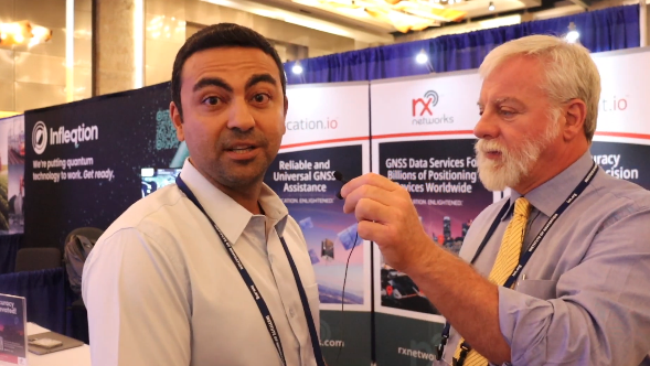
ION GNSS+ 2023: RX Networks
GPS World Editor-in-Chief, Matteo Lucio, stopped by the RX Networks booth to talk about company updates and new products with Ali Soliman, head of sales and marketing, RX Networks.
-
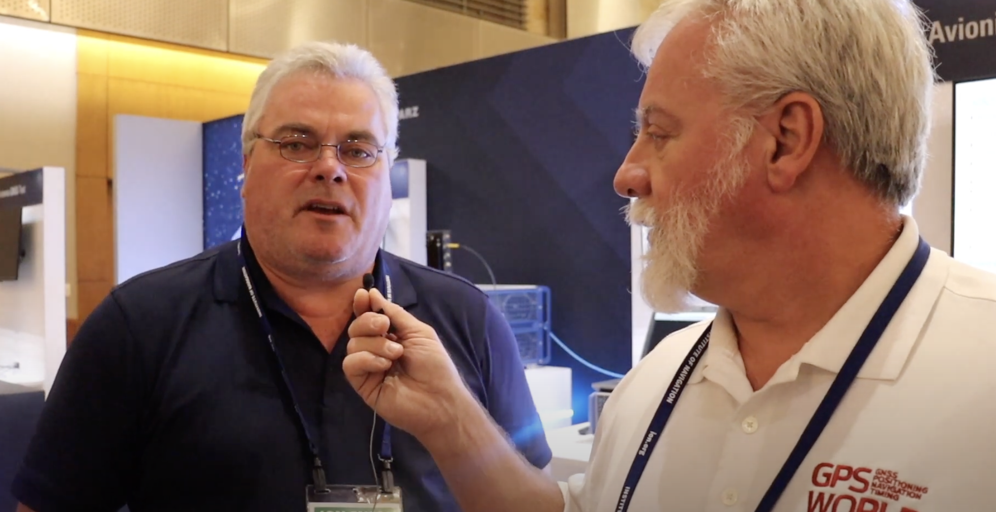
ION GNSS+ 2023: Rohde & Schwarz
GPS World Editor-in-Chief, Matteo Luccio, met with Darren McCarthy, Aerospace & Defense Industry Segment Manager, Rohde & Schwarz, to discuss the company’s new avionics test, developments in using 5G broadcast channels for PNT and more from ION GNSS+ 2023.